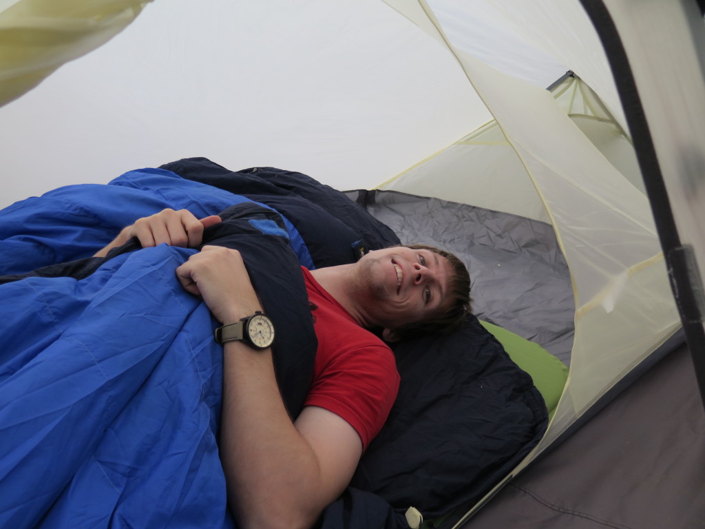
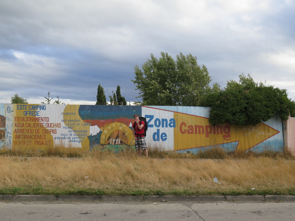
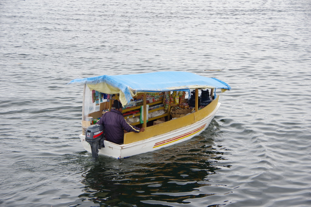
FEB 11, 2016 – From Buenos Aires, my brother and I flew to El Calafate in the south of Argentina. This touristy little town was our base for the following two weeks: We first spent a night there on our way to Torres del Paine, then another two nights before going to El Chaltén, and a last night after that. We stayed at the “America del Sur” hostel every time and were happy with the helpful staff and good food there – including a “Parrilla Libre” dinner option (BBQ with all-you-can-eat buffet). Transit options to Puerto Natales were limited, so we ended up taking a bus to Rio Turbio and a taxi to the border and hitchhiking the rest of the way from there. My offline map suggested there would be a campground in Natales, but that turned out to be defunct, so we camped in the backyard of hostel Rio Tindal instead to test our equipment. Having bought gas and food already in El Calafate, we only needed to stock up on produce – which Chile doesn’t allow across its borders – before starting our week-long hike in Torres del Paine.
Photos of this part of the trip taken with Roman’s Canon PowerShot G16.
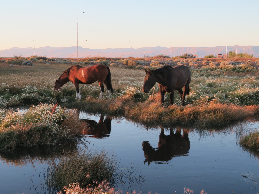
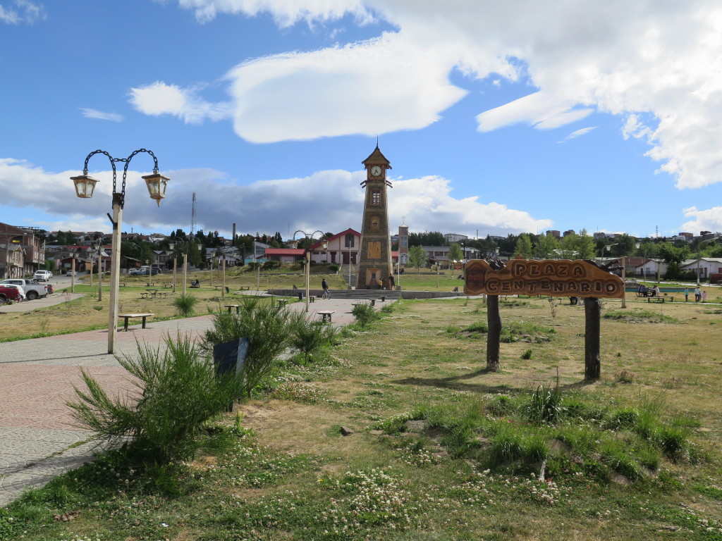
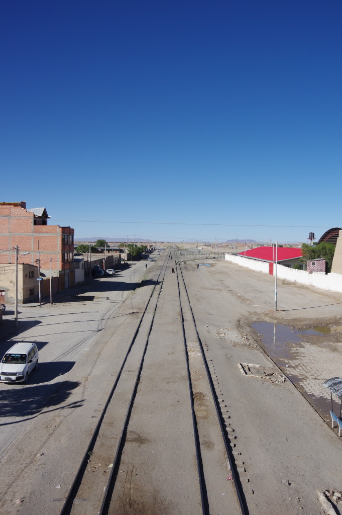
Around El CalafatePark in Rio Turbio, on the way to Puerto NatalesFormer campsite in Puerto NatalesWaterfront of Puerto Natales
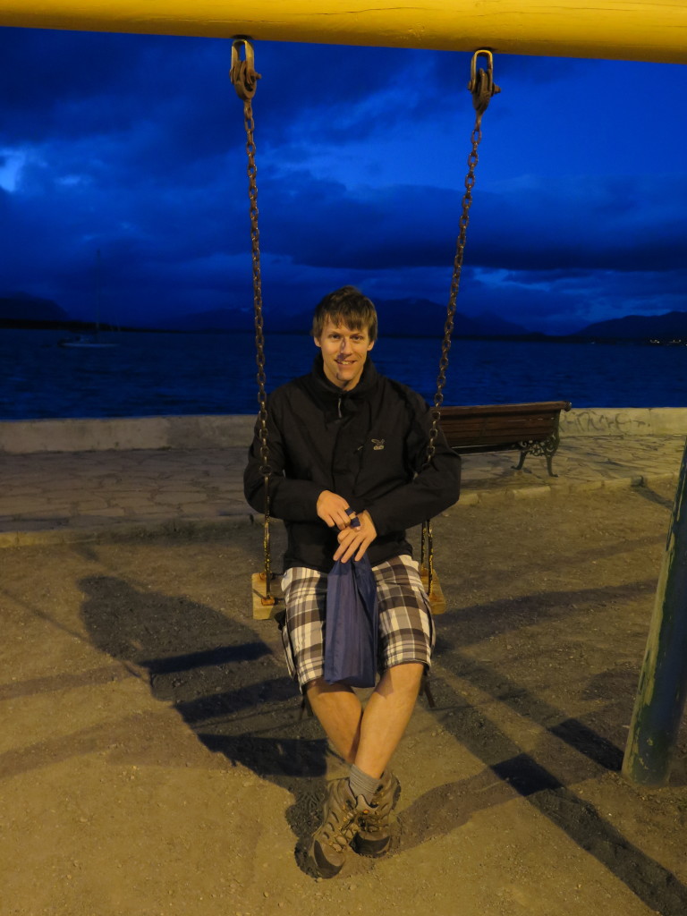
Me in Buenos Aires, taking one of the last pictures with my camera
FEB 9, 2016 – I have to fast-forward to Buenos Aires here. As I was walking through the city center with my brother, my camera was robbed from me by a gang of about 4 people. In the process, I lost a few days of photos. Here is a short summary of what I did during these days.
On Feb 5, I visited the mines of Potosí with a tour group. It was a very impressive tour that showed me the simple methods and bad safety precautions that are used by miners there. We also had the opportunity to buy gifts for the miners on the local market.
The same afternoon, I set out to travel to Sucre with a French couple. Due to a truck drivers’ strike, the road was blocked in several places, so this trip was a bit of an adventure. After riding a taxi and a bus, walking about a kilometer, going over a dirt road in a colectivo and taking a crowded taxi with a near-blind driver, we finally arrived in the center of Sucre. The city was beautiful, and carneval led to a constant risk of having water balloons thrown at you.
After a night and a day in Sucre, I took another domestic flight that brought me to Santa Cruz de la Sierra. I only had one evening there and went to watch the carneval parade. The next morning I flew to Buenos Aires.
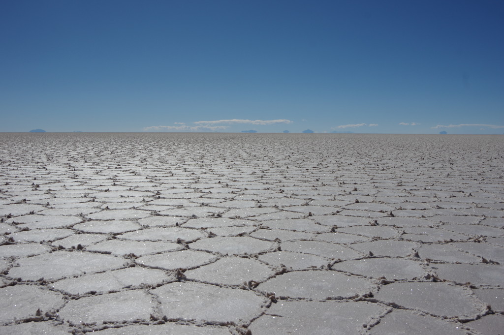
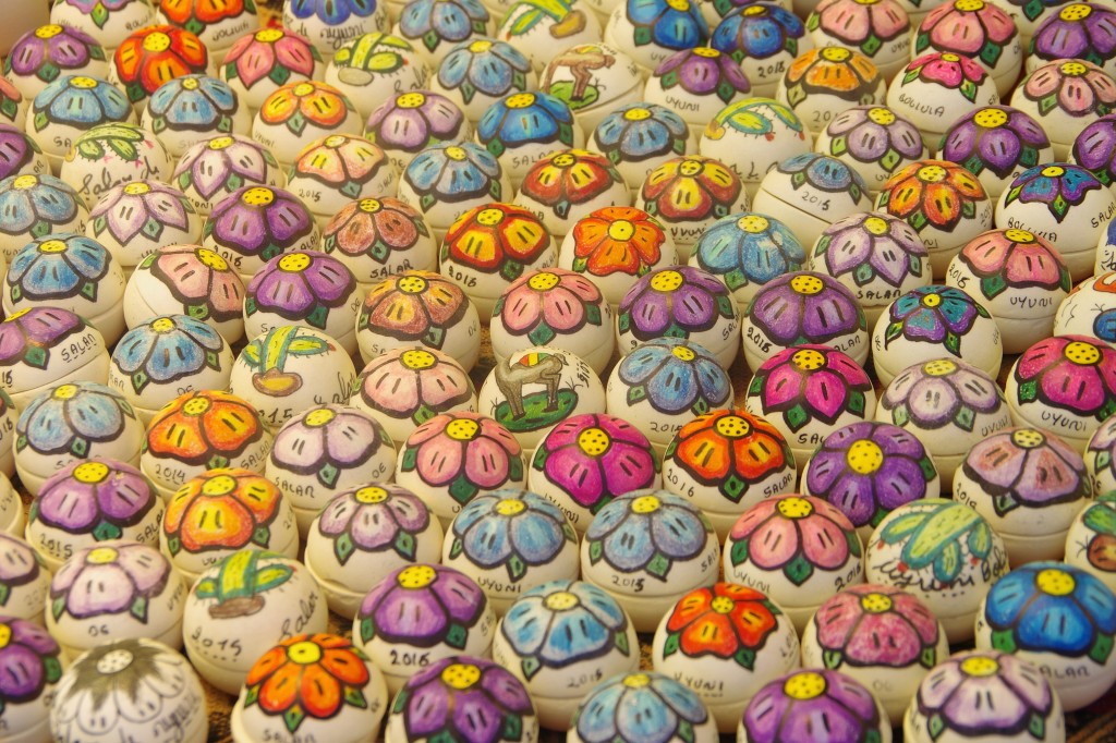
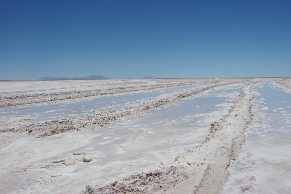
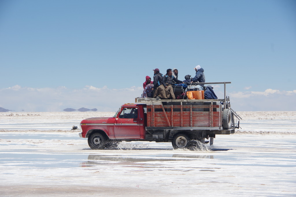
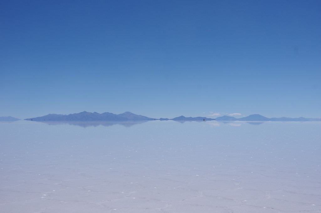
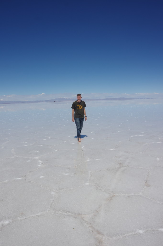
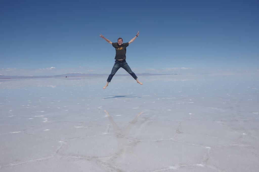
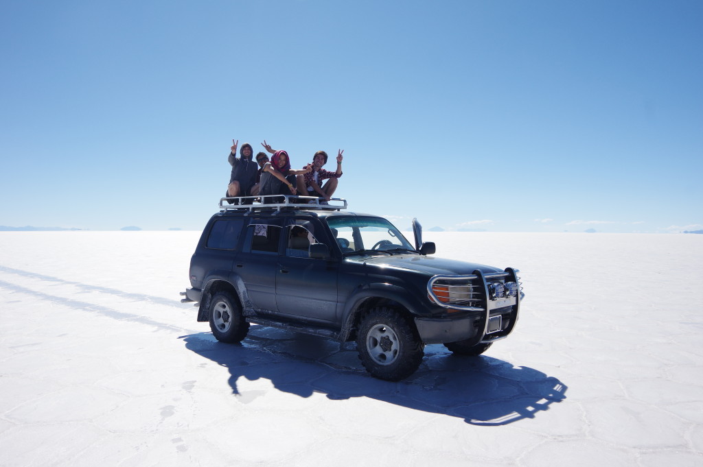
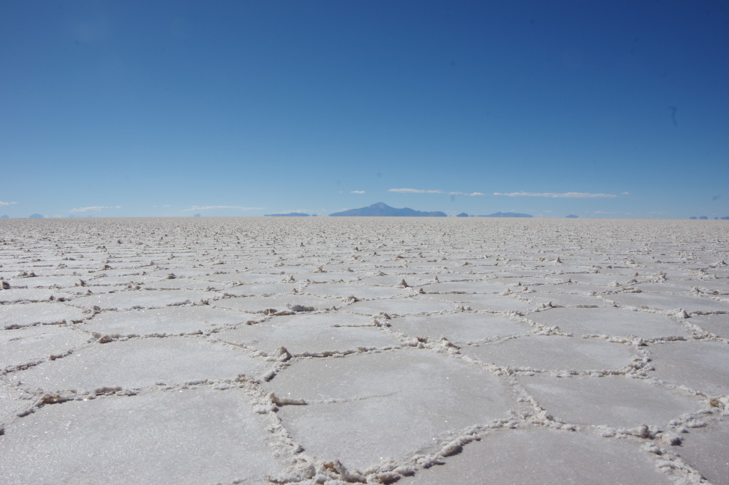
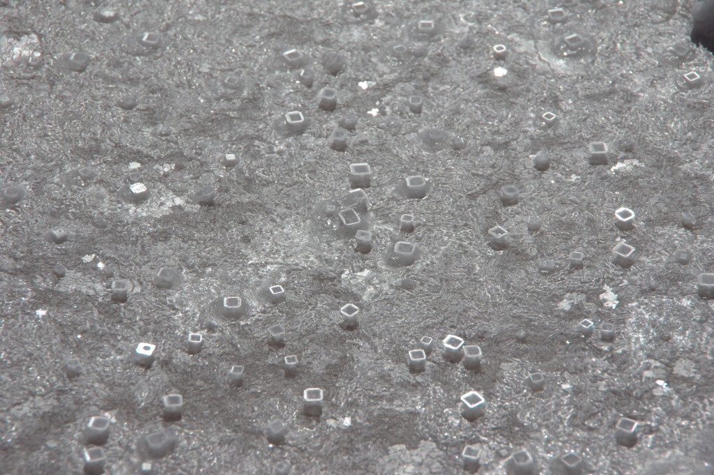
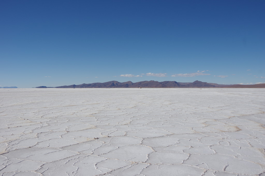
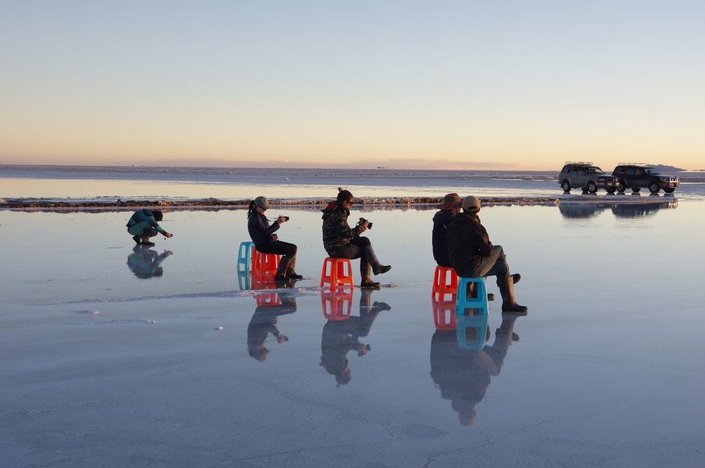
FEB 4, 2016 – Given my limited time in Bolivia, I decided to take a plane from La Paz to Uyuni. Already from the sky, I saw how big and empty the area is: The Uyuni salt flat is a quarter the size of Switzerland. After a night in the little desert city, I joined a day tour in a jeep. Luckily there was some water in the Salar, so we were able to see reflections and other nice visual effects. Also the dry part was fascinating, though, with its hexagonal structure. The same evening, I took a bus to Potosí, a city famous for its silver mines.
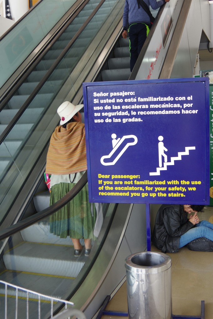
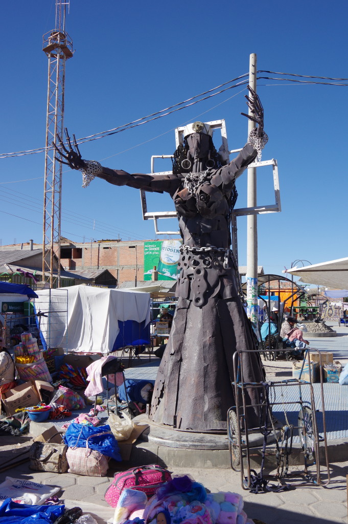
Some Bolivians may not be used to escalatorsSculpture in Uyuni
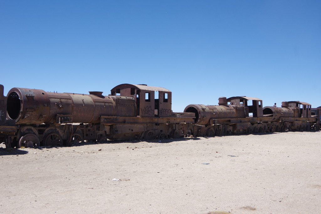
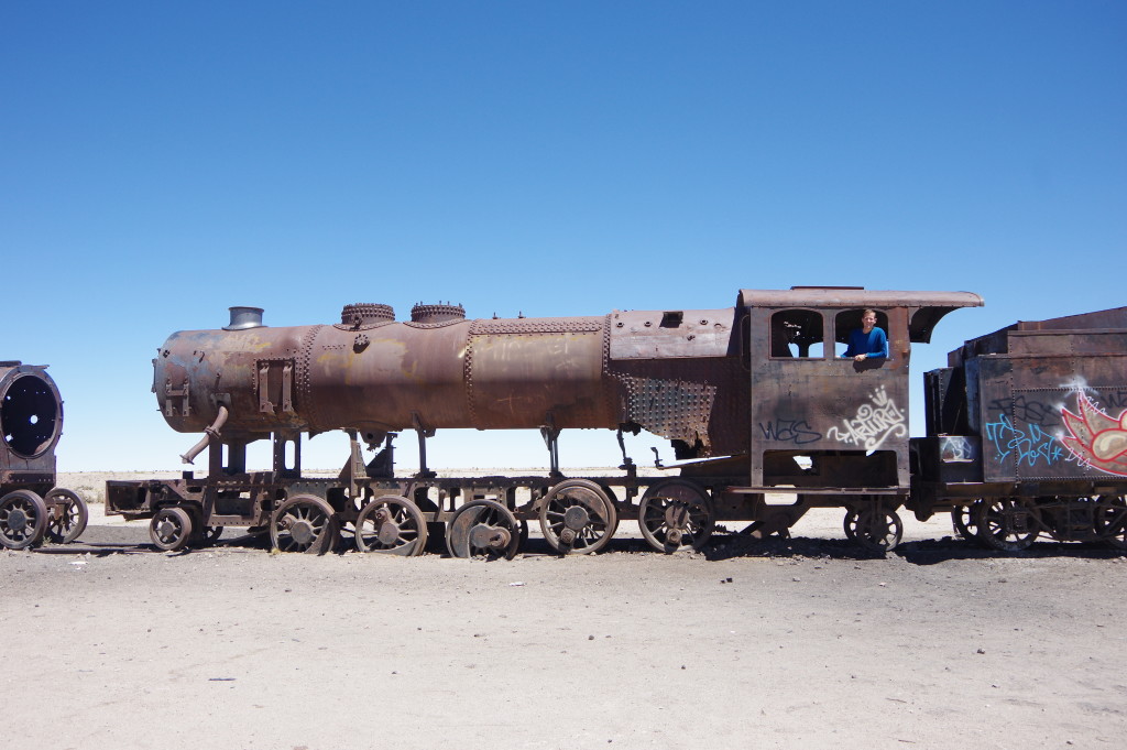
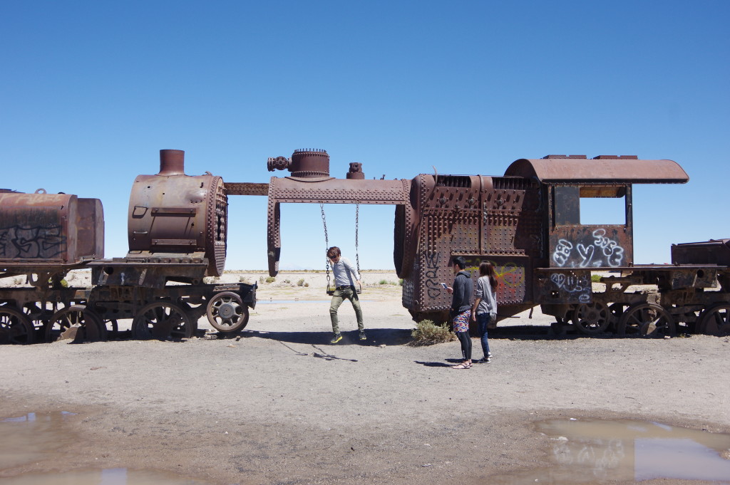
Steam engine cemetery in the desert – a stop of all the tours
Souvenir shopping stop in a villageFinally arriving at the Salar
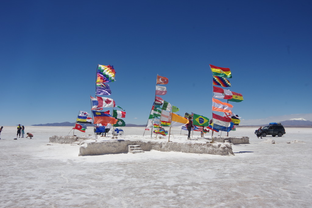
Flags near the Salt Hotel
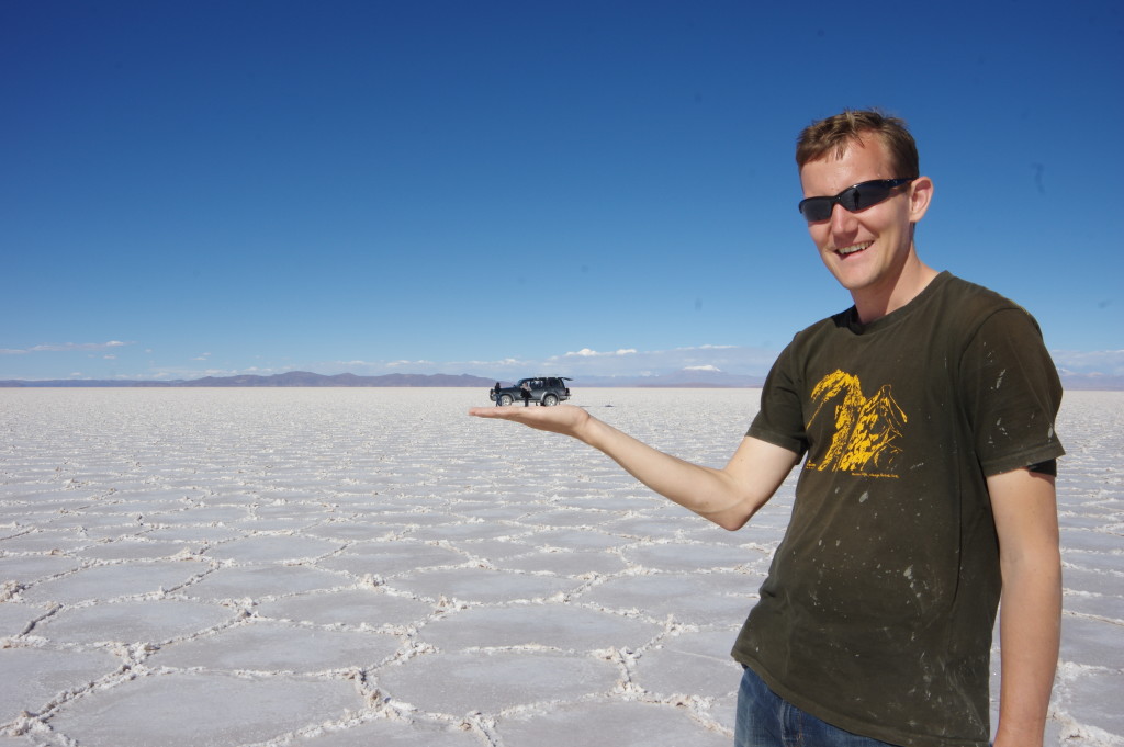
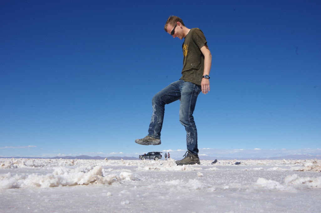
Playing with perspective is a favorite among tourist groups
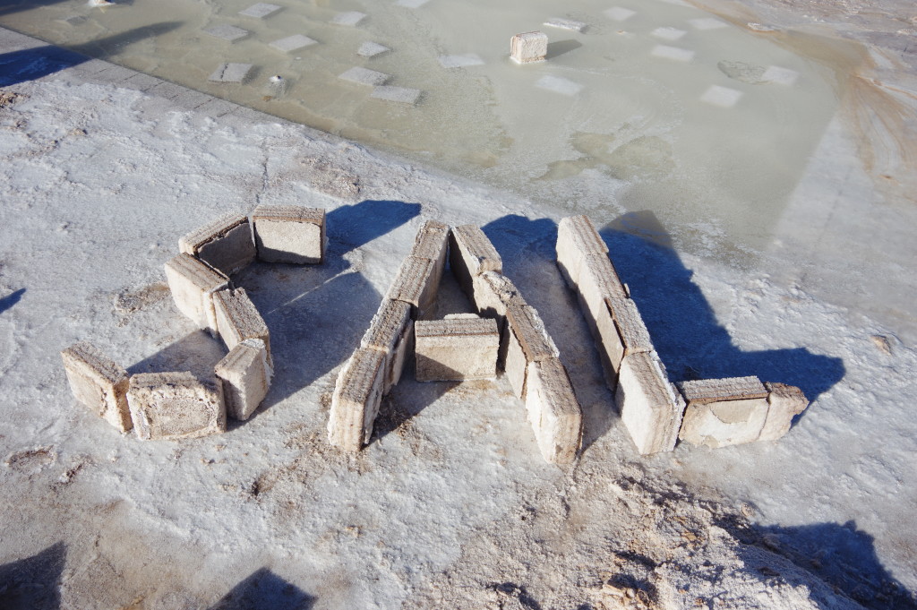
I wrote the Spanish word for “salt” with salt bricks
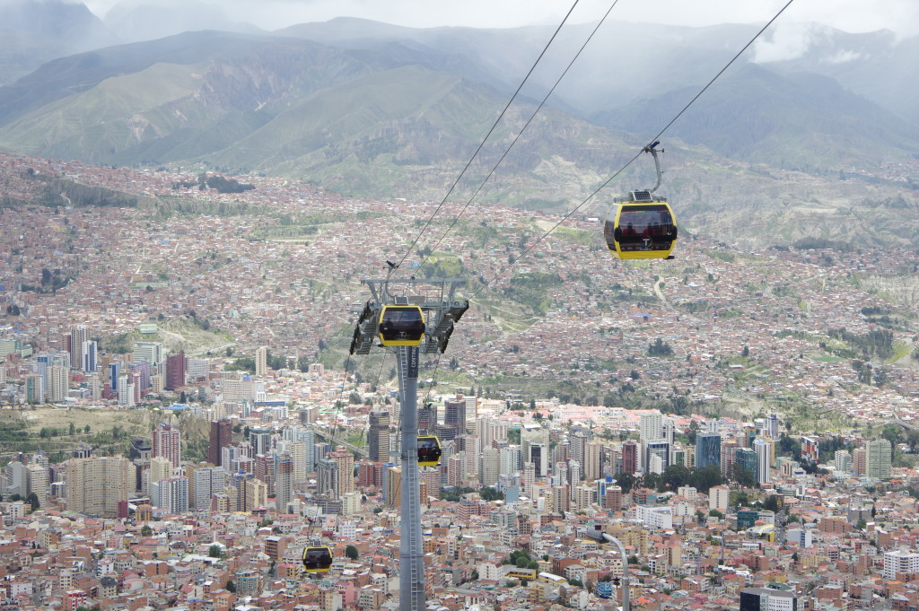
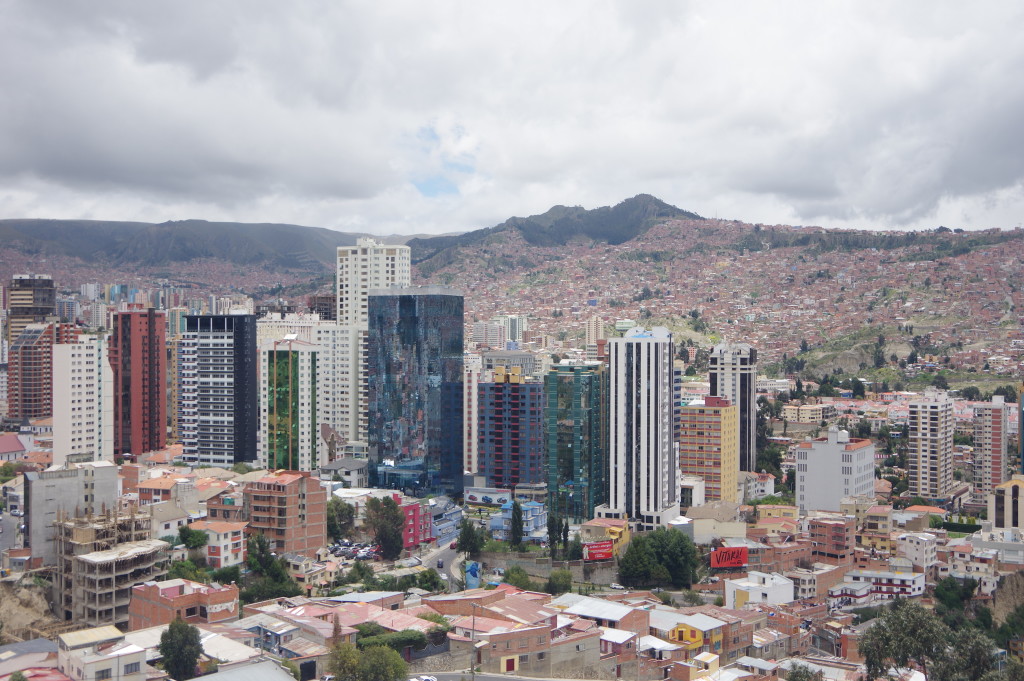
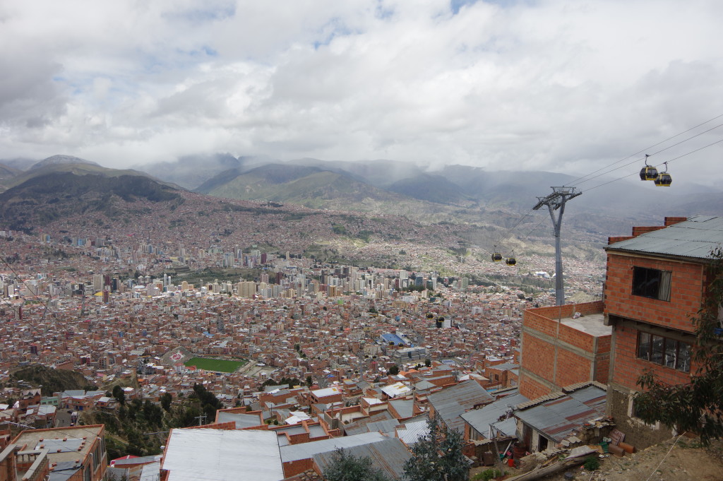
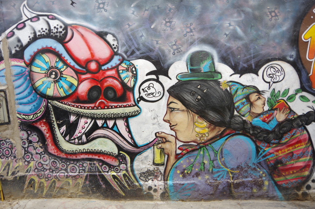
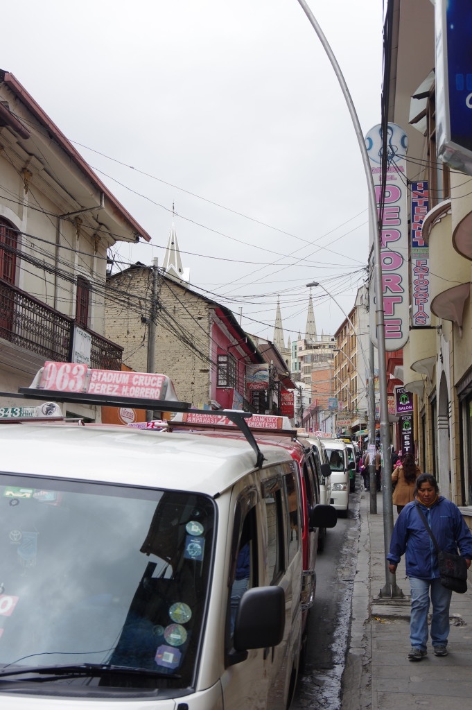
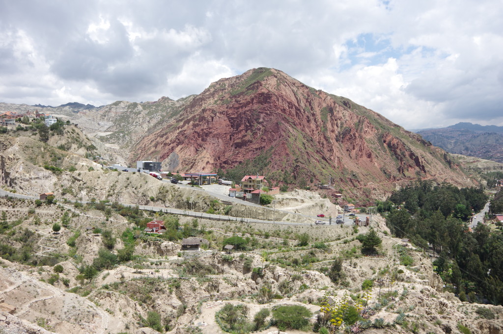
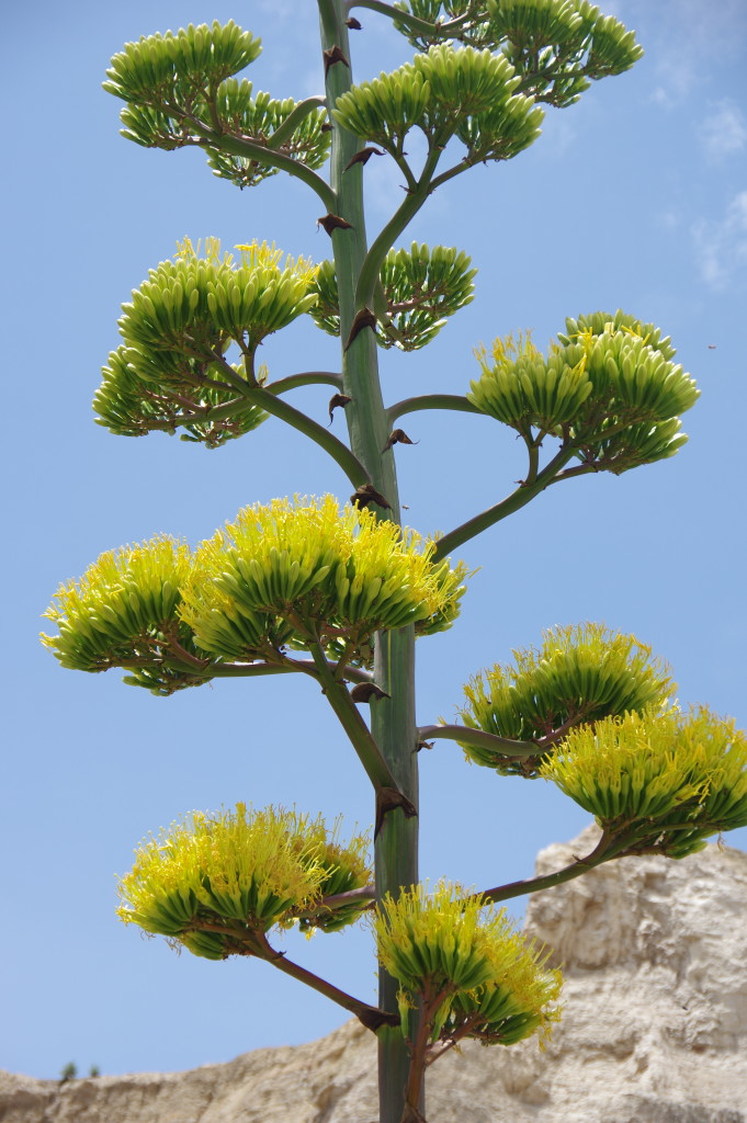
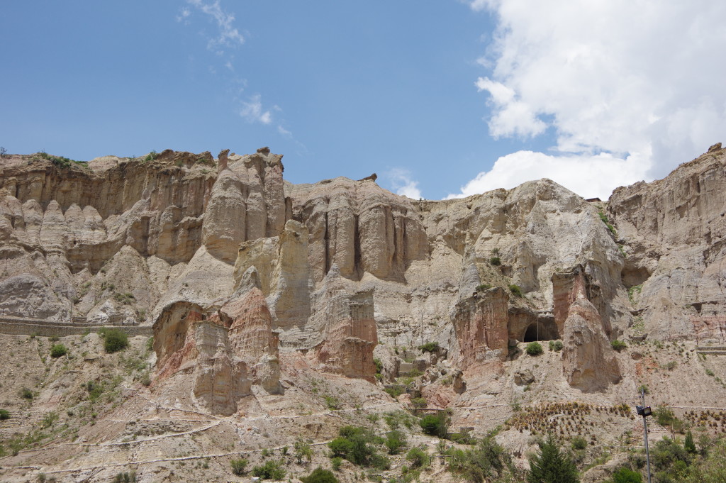
FEB 3, 2016 – I spent the first night in La Paz at a hostel near the bus terminal and then stayed with a CouchSurfing host, an English teacher and translator of American origin. It took me a while to understand the city’s transit system, but I finally found it quite useful. Colectivos connect the different areas with frequent service, and three cable car lines, built by Austrian company Doppelmayr, provide a fast and scenic link between some parts of the city. Apparently La Paz’ government is planning to build seven more of these lines, so that the city will have an entire rapid transit system consisting of cable car lines. Through gondola supplier CWA, the Swiss industry is also implied in the project. During my stay in La Paz, I organized the rest of my short trip through Bolivia. I visited the nearby “Valle de la luna”, a group of rock formations that is not very impressive. There is another “moon valley” in Chile, which I assume is bigger.
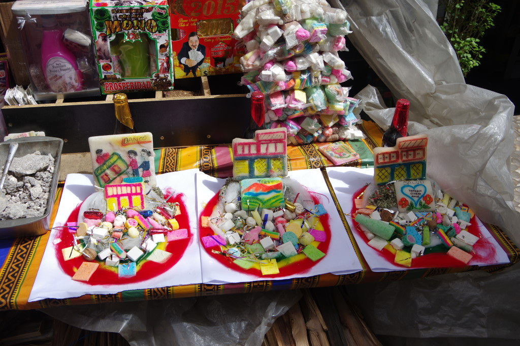
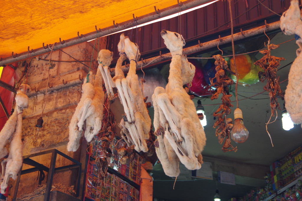
Miniatures of various objects are used as talismans in the hope of obtaining them in full size eventuallyApparently some rituals involve llama fetuses
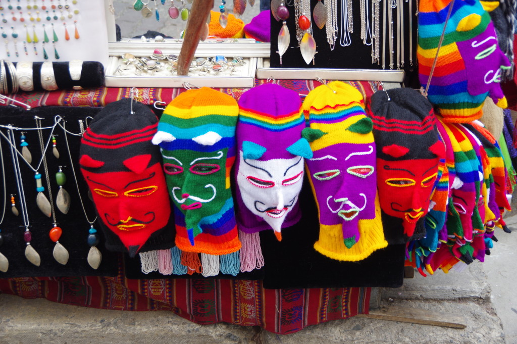
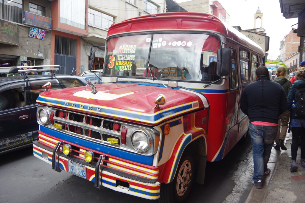
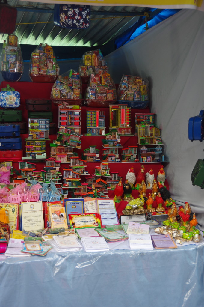
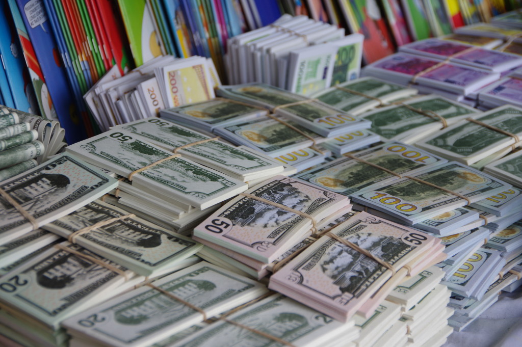
The souvenirs are even more colorful than the city itselfThese old Dodges are quite commonly used as colectivos hereToyota Hiaces and their Chinese copies are even more commonFruit salad at the central market – an attraction not to missAlasitas festival – a yearly market selling mostly miniatures
Miniature money seems to be a favoriteValle de la Luna
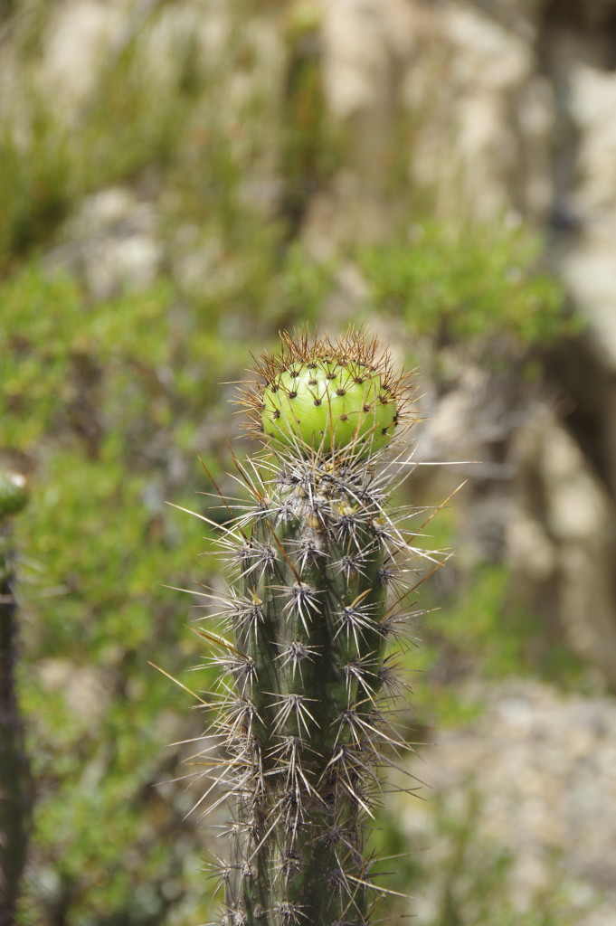
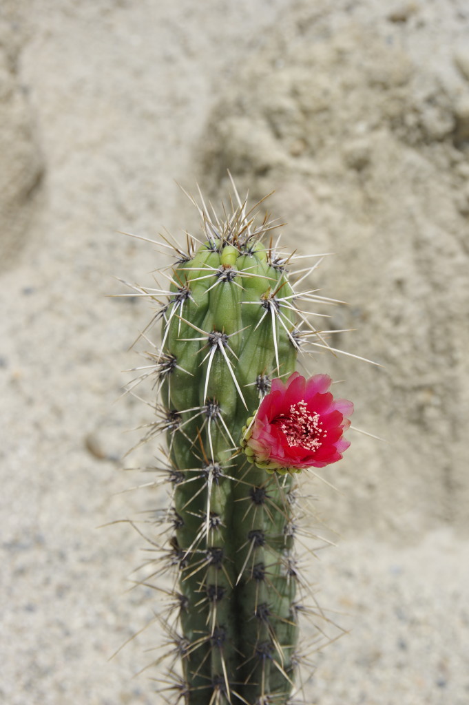
Some nice cacti for my collection
An abandoned succulent garden that apparently failed to bring more tourists here
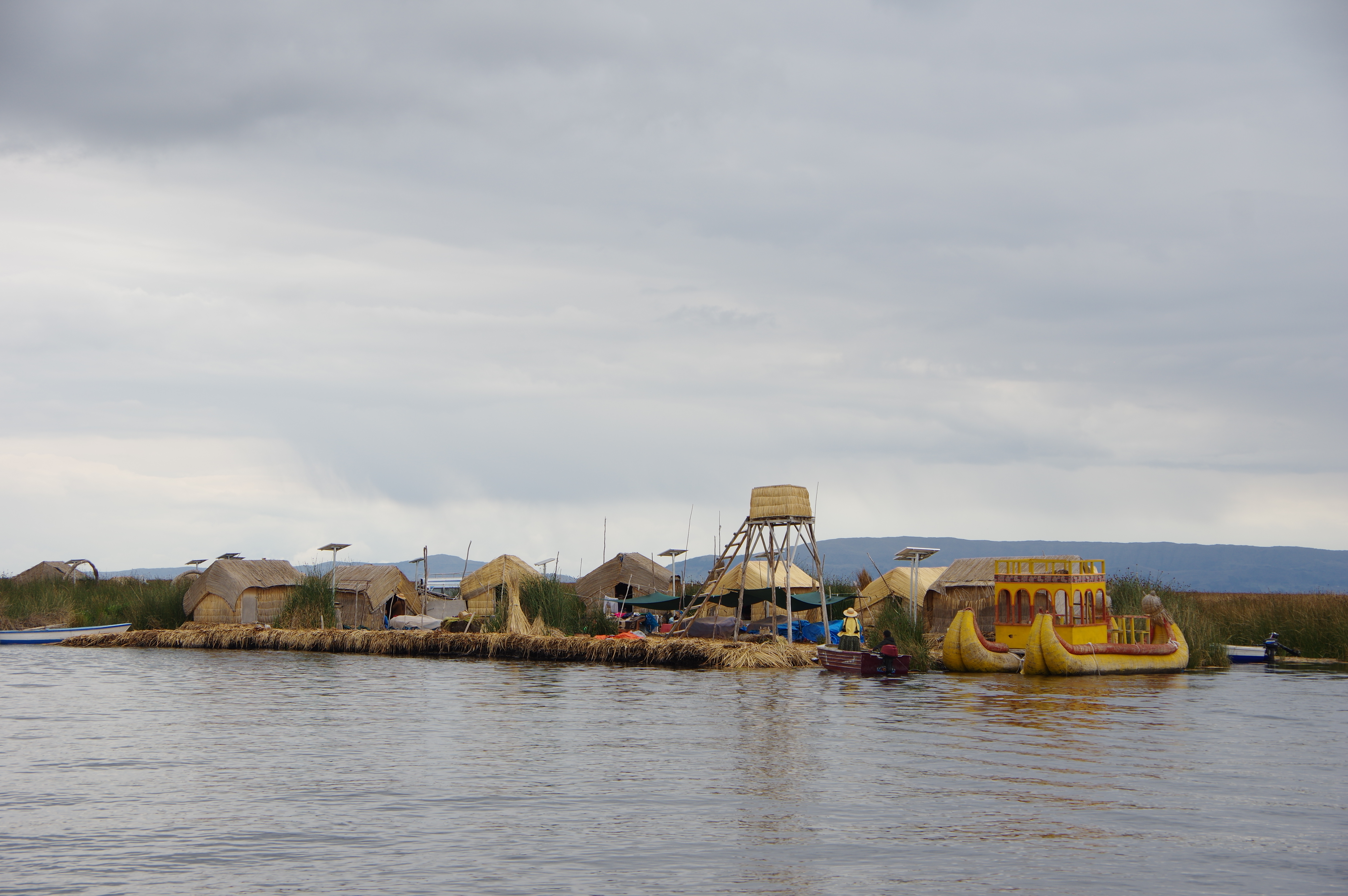
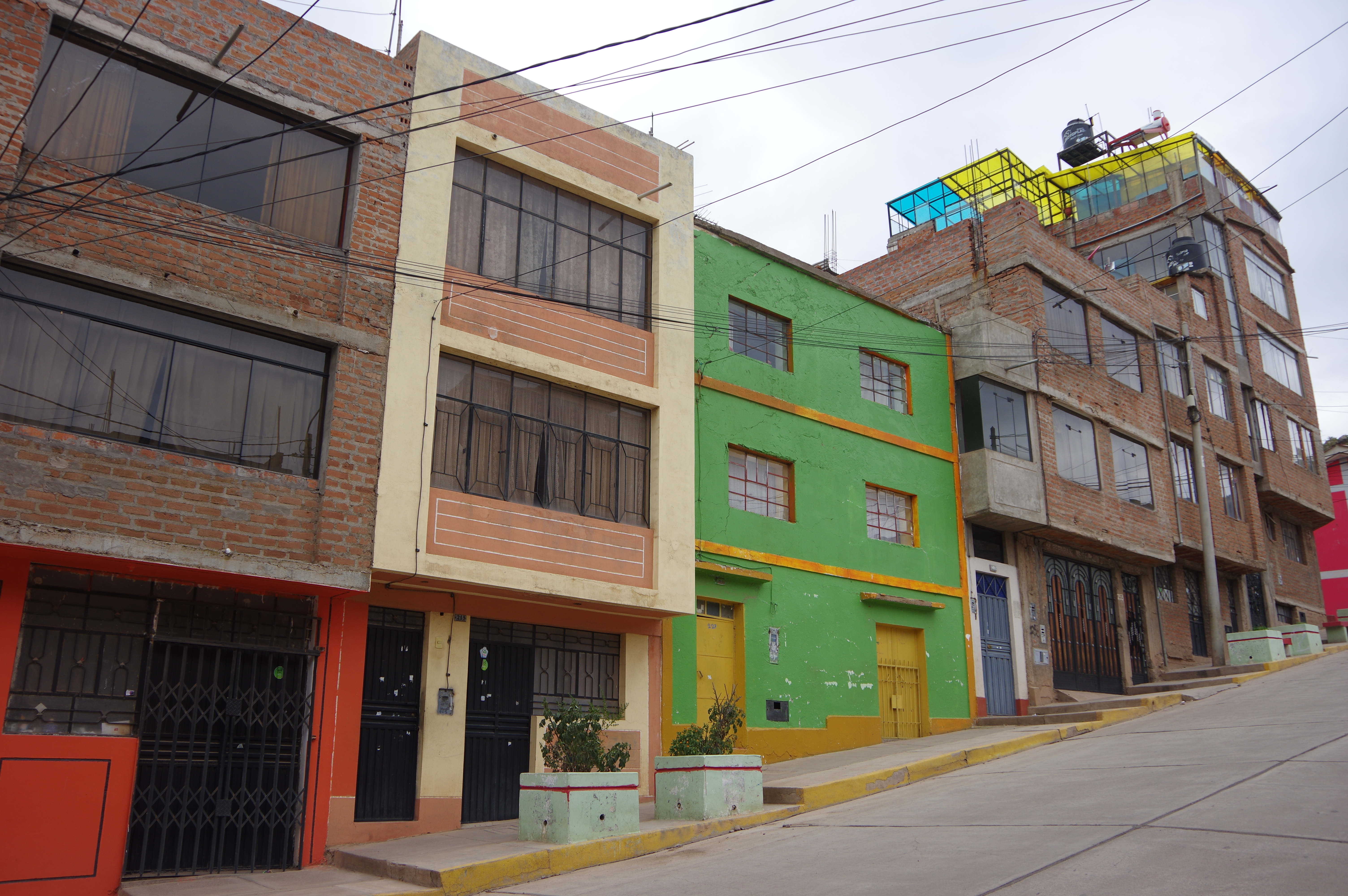
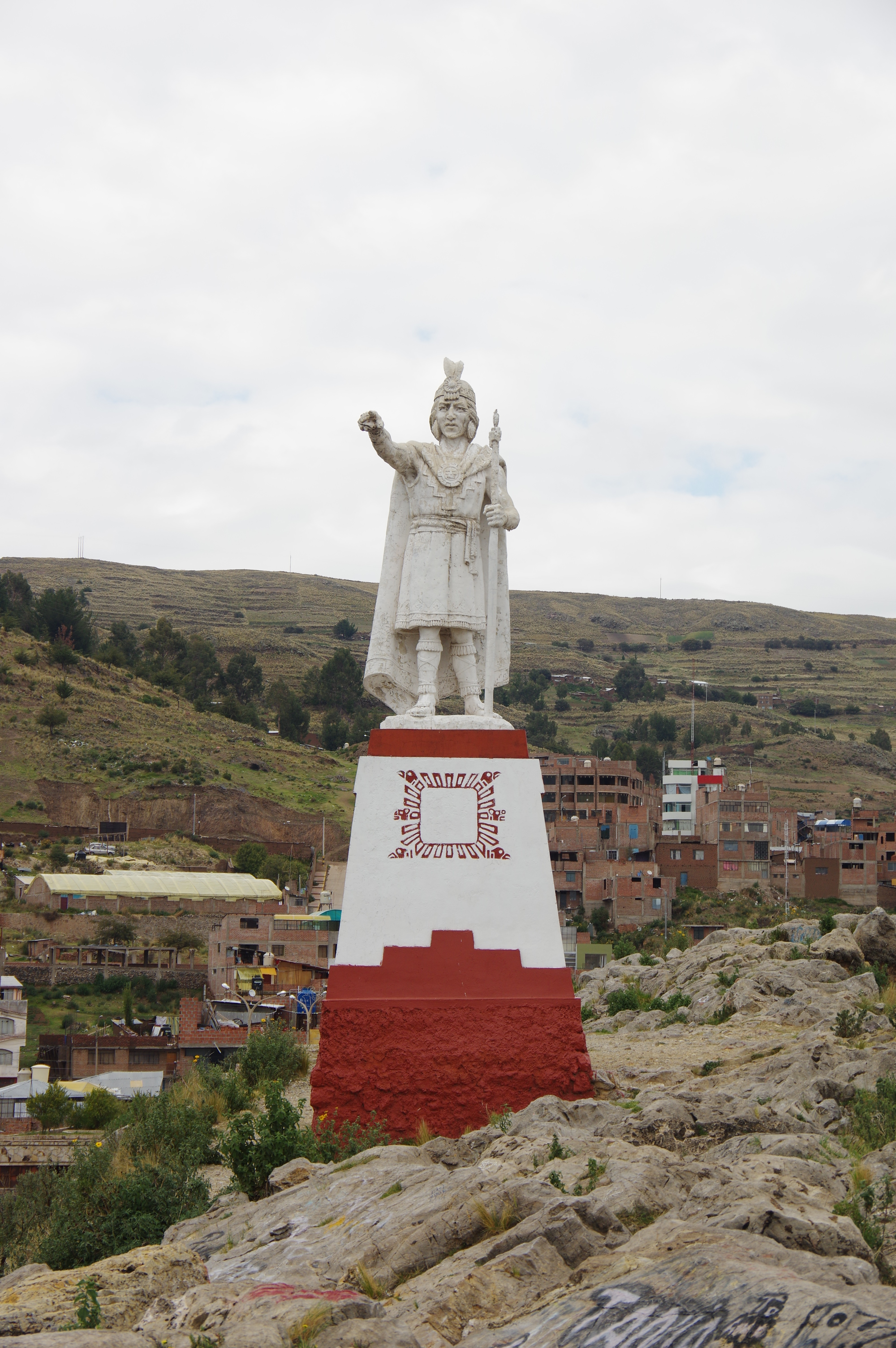
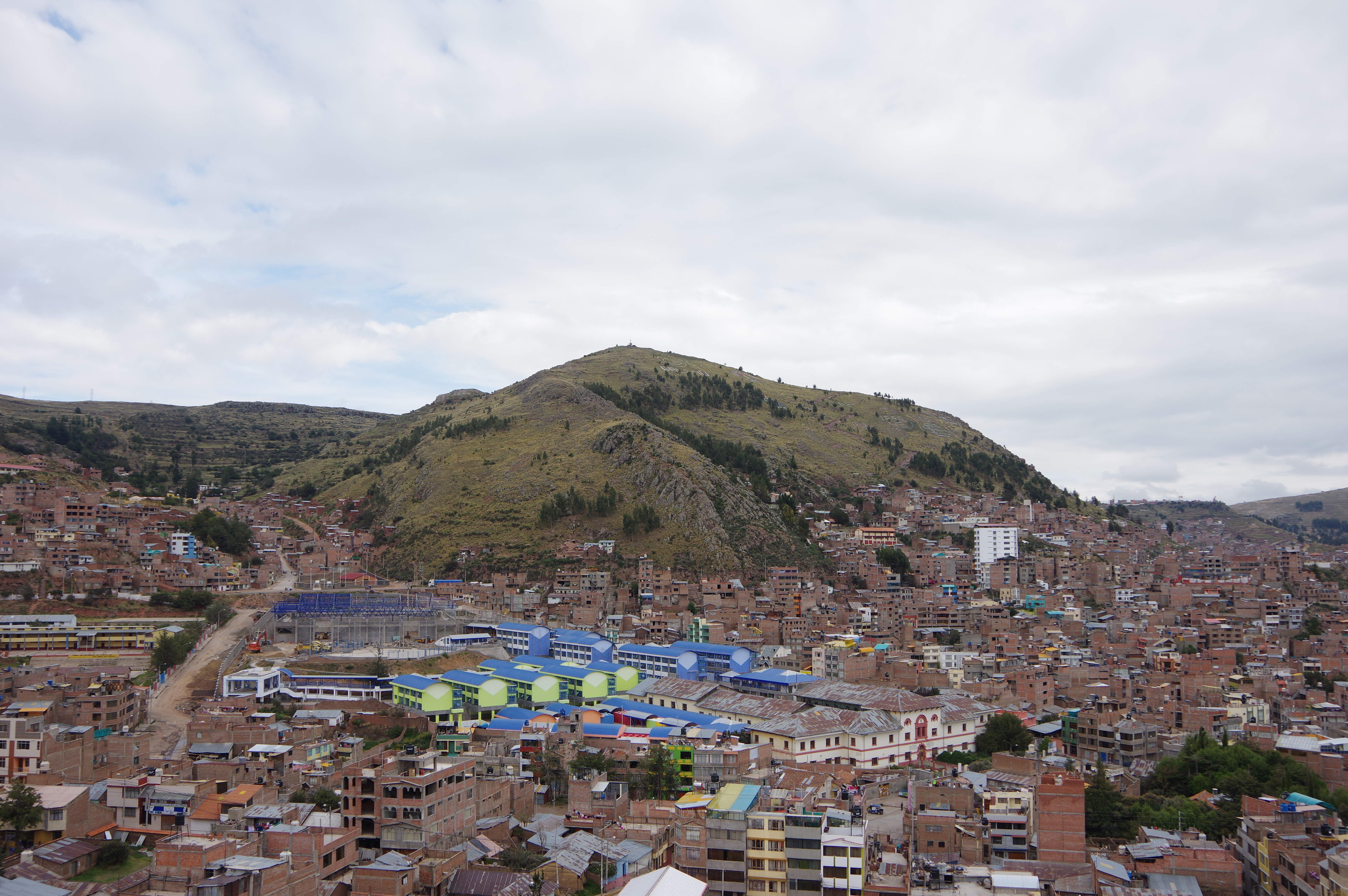
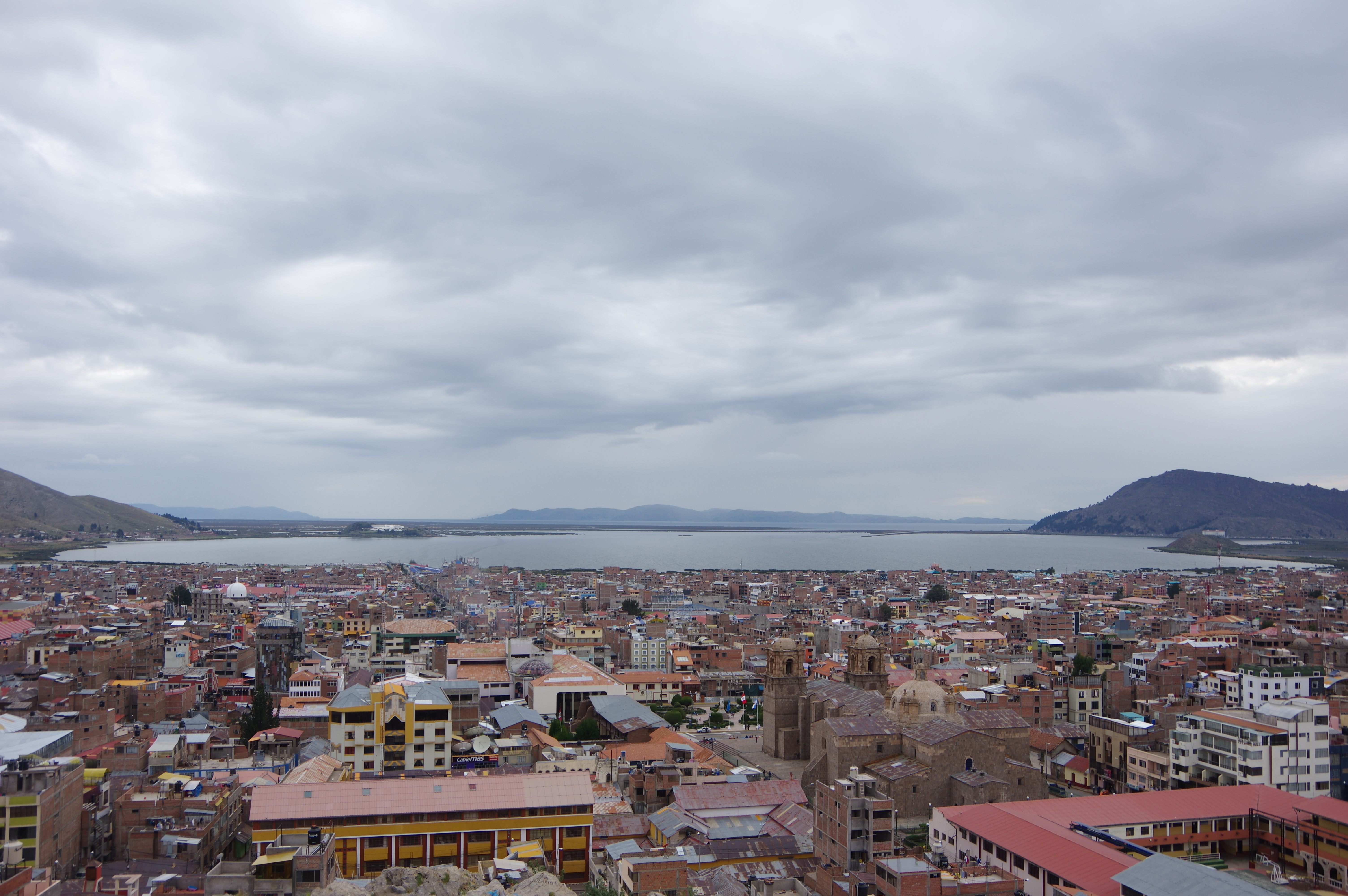
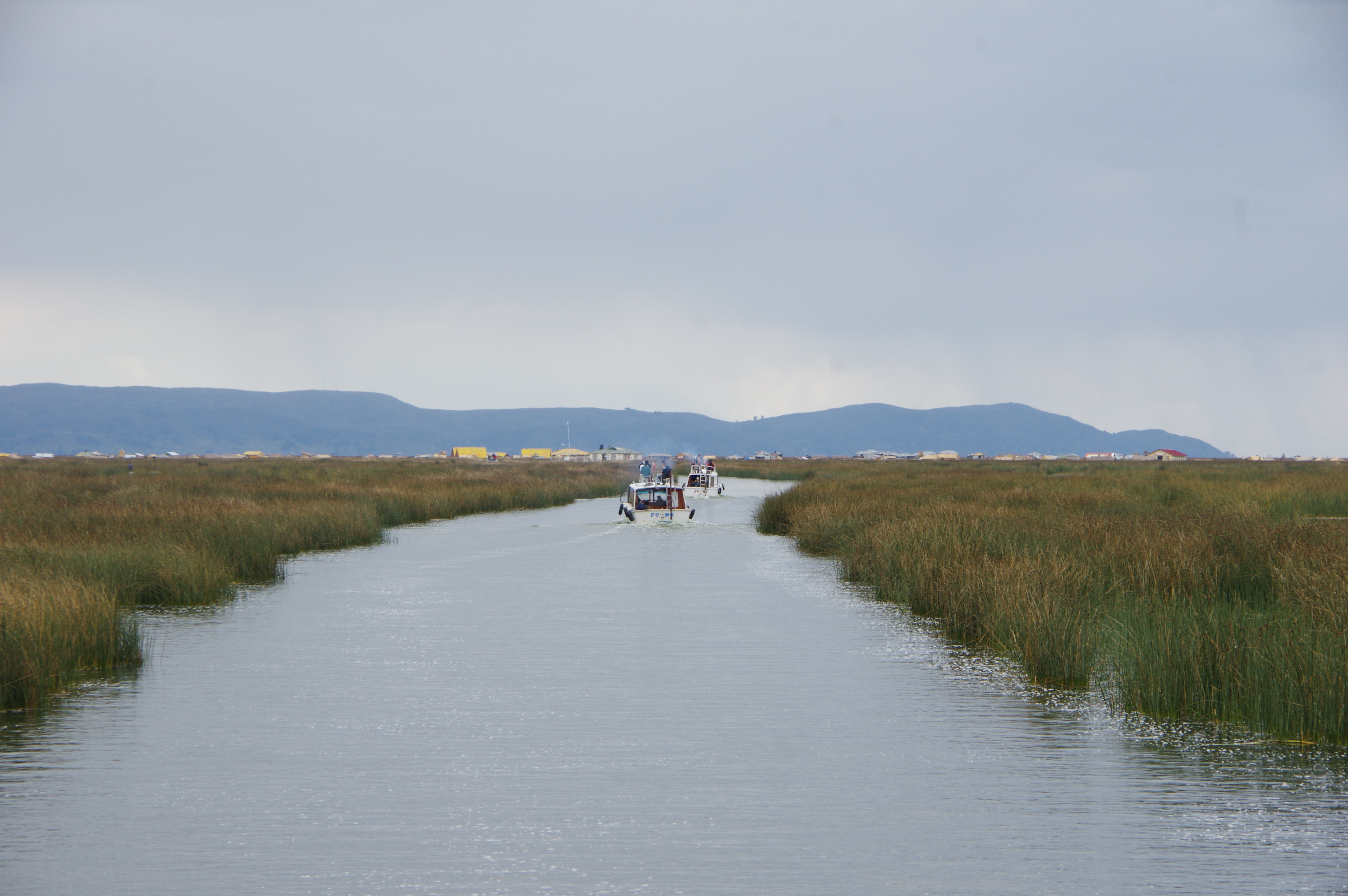
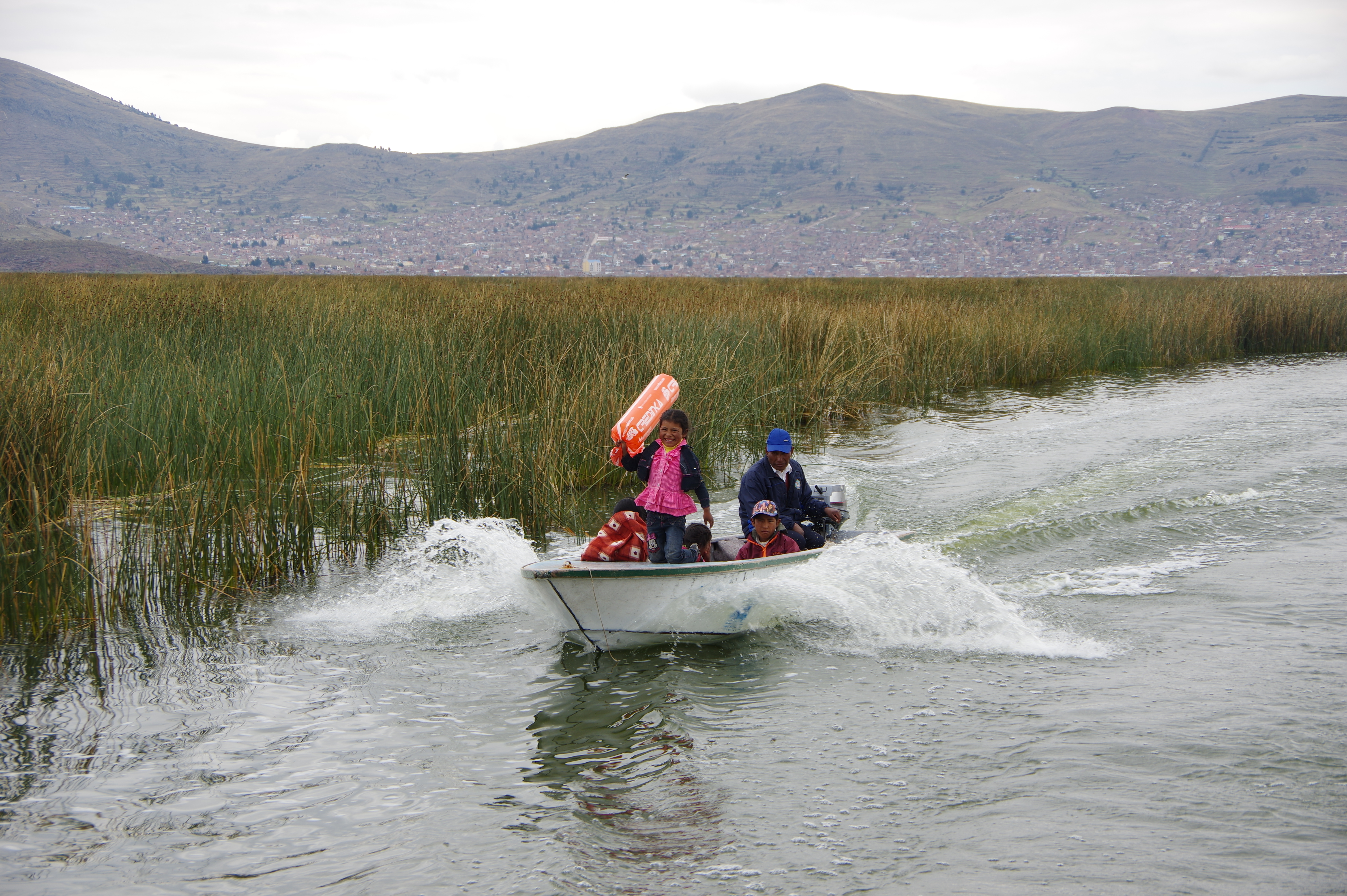
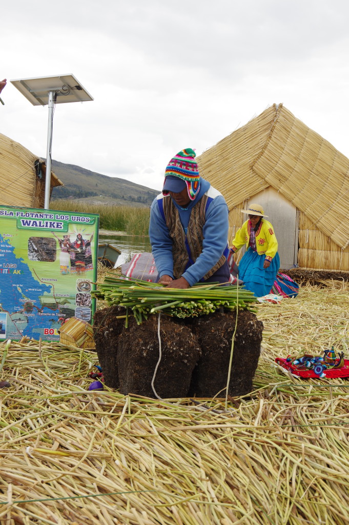
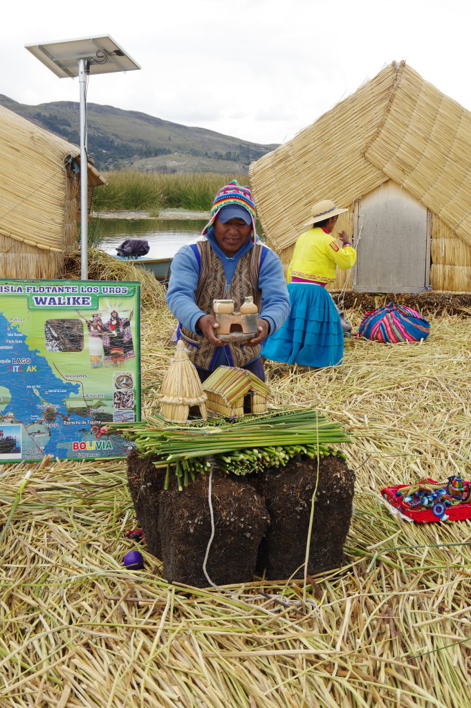
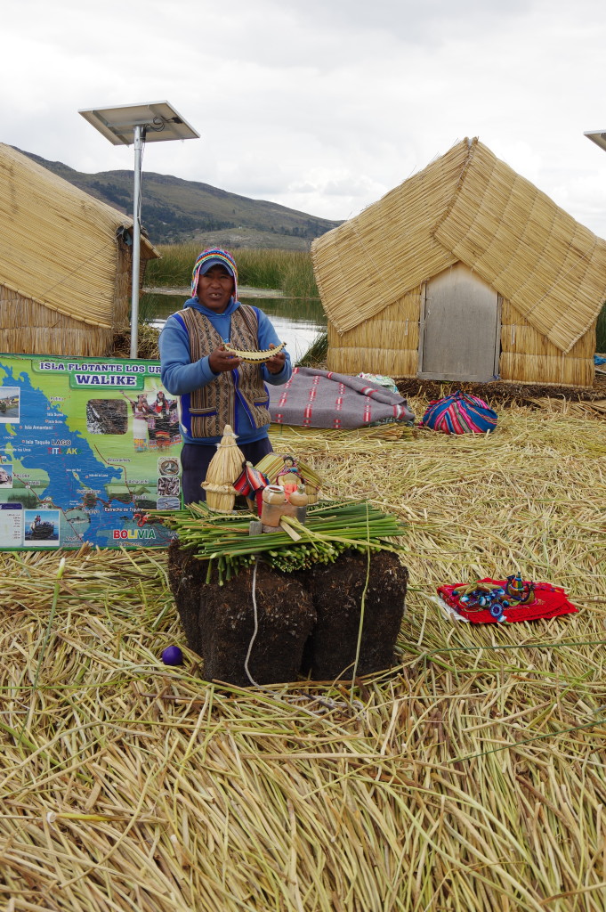
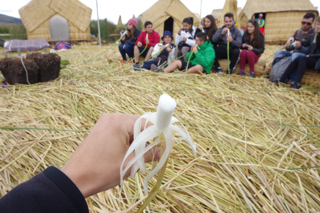
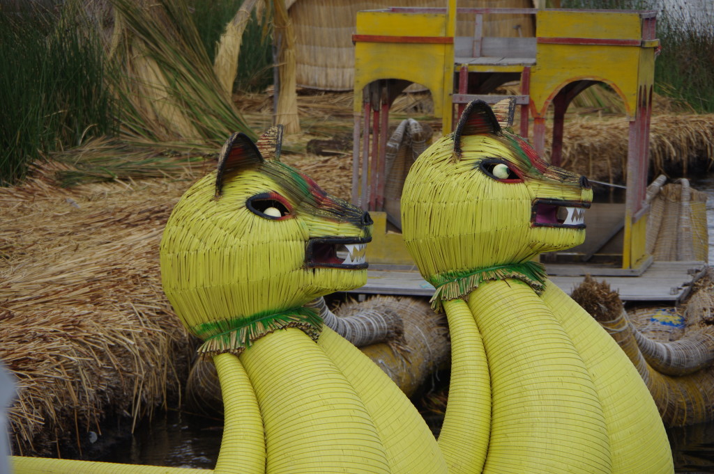
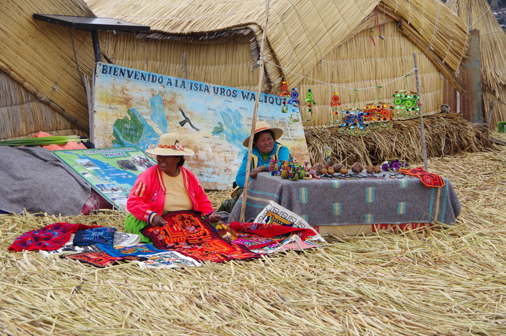
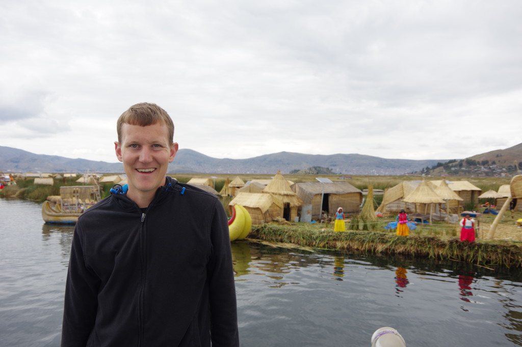
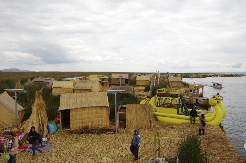
JAN 30, 2016 – After another night in Cusco, I took a bus to Puno, a city along lake Titicaca. It is much less touristy than Copacabana along the Bolivian shore of the lake, and looks rather poor. Nevertheless, there are some streets with fancier restaurants, travel agencies and other services for foreign visitors. Just a few kilometers away on the lake lie the floating islands of Uros. They are built from a plant called Totora, which grows abundantly near the lake shore, and inhabited by a traditional people who speaks the Aymara language. It seems like the inhabitants of the islands, or at least some of them, have accepted to devote a large part of their lives to tourism. They receive the tour groups on their little islands, explain how the floating islands and huts are built, and let visitors dress up in their traditional clothing. Then they offer to sell different handicrafts to them. A ride in a fancy-looking rowing boat built entirely of Totora is also offered against a small fee. Finally the group is dropped off on another floating island where food and drinks can be bought. To me it felt like the Uros people were giving up a large part of their identity and privacy by letting so many visitors see their houses and wear their clothes – they treated their traditional dresses as if they were a carneval dress-up.
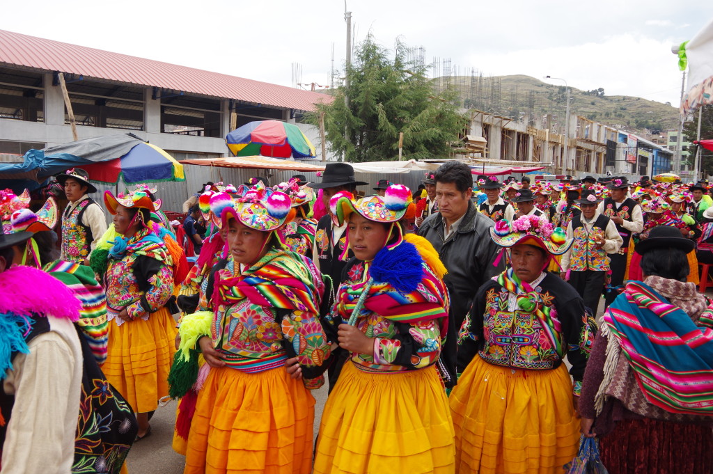
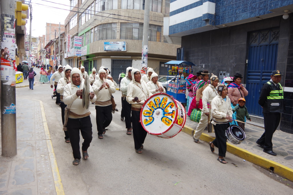
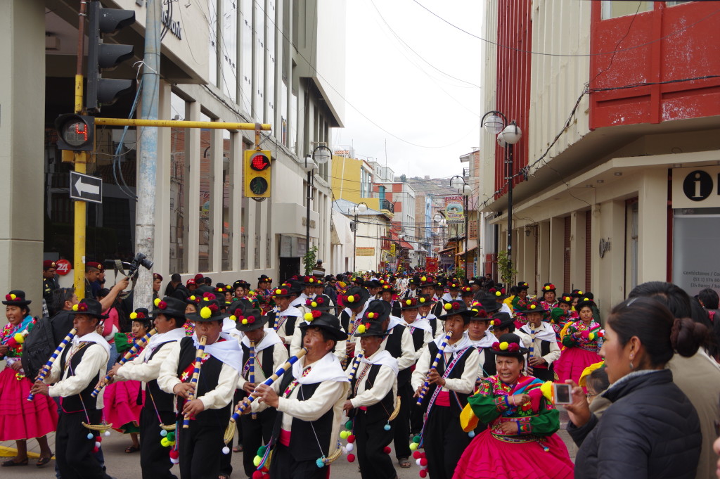
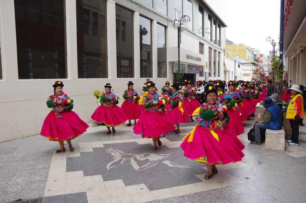
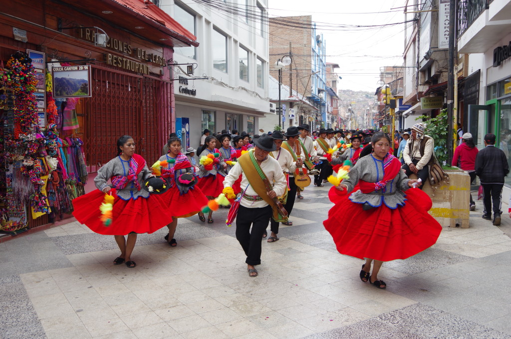
Later that day I saw carneval or a similar celebration going on in the center of Puno. The costumes were very colorful and the dances synchronous. A lot of good and cheap food was sold in the streets. Only the music failed to impress me. Later that day I traveled on to La Paz, skipping Copacabana altogether.
Facades in Puno
Hill above PunoView towards Lake TiticacaRoute towards the Uros islands
Locals collecting entrance fees from passing boatsConstruction of the floating islands – Starting with blocks of Totora roots held together by string…Stacking horizontal Totora on top, periodically adding more…Houses, also made of Totora (with plastic covers on the roof in case of rain)Stoves burning Totora – and boats, built from Totora as wellTotora even serves as food, too!Fancy decorated rowing boat
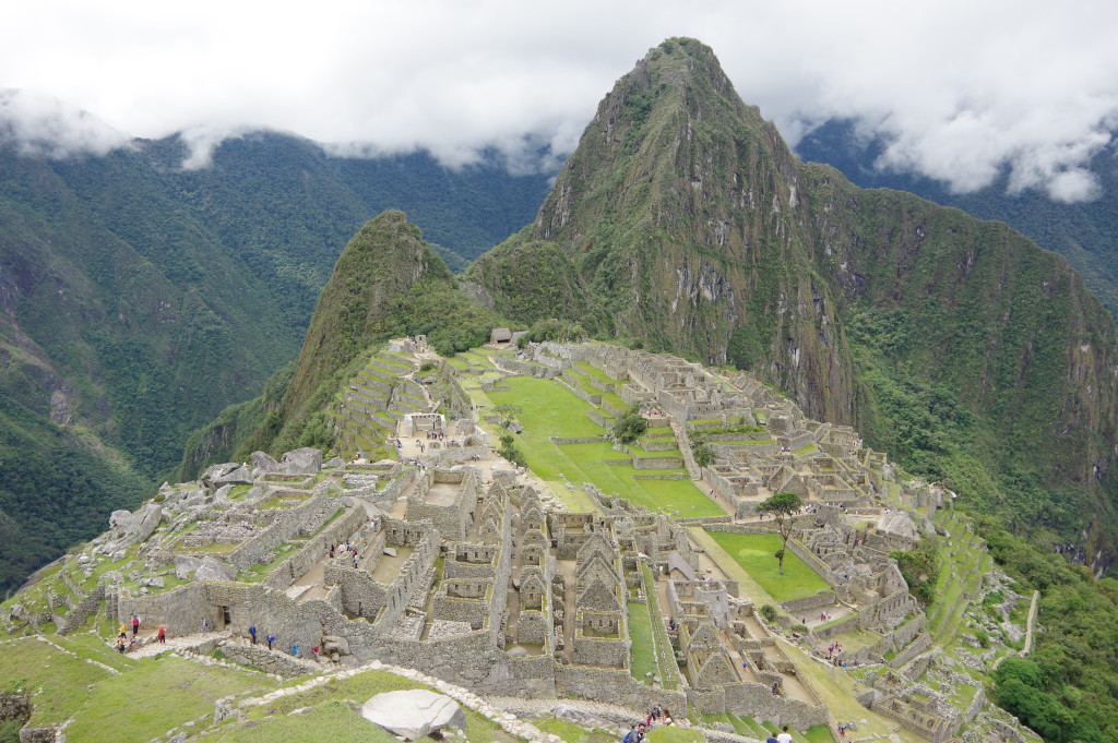
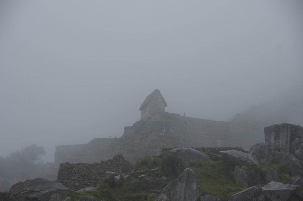
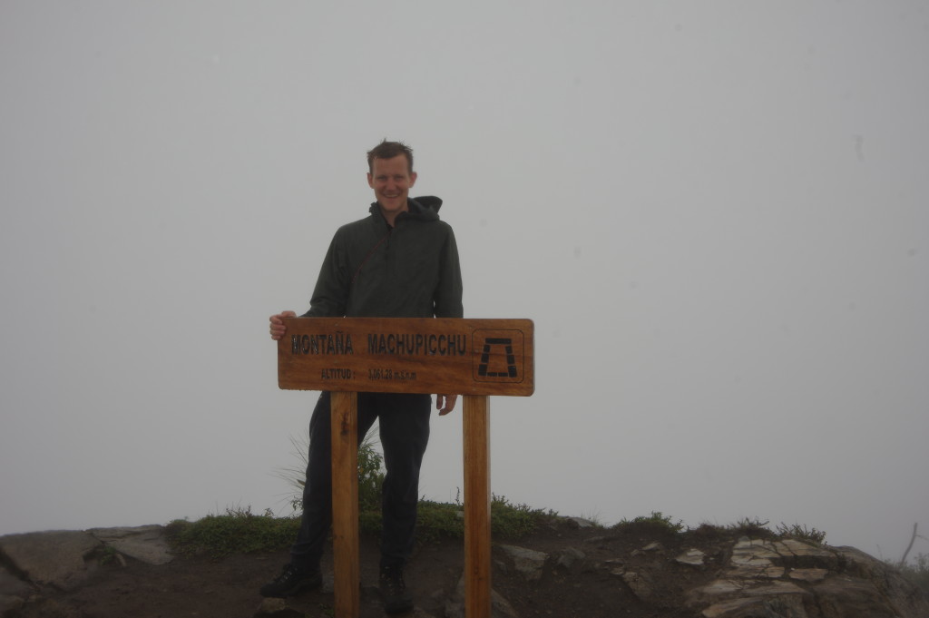
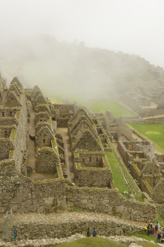
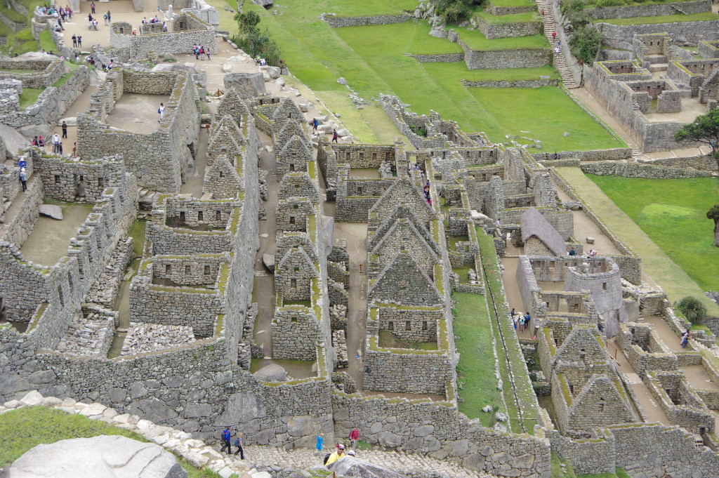
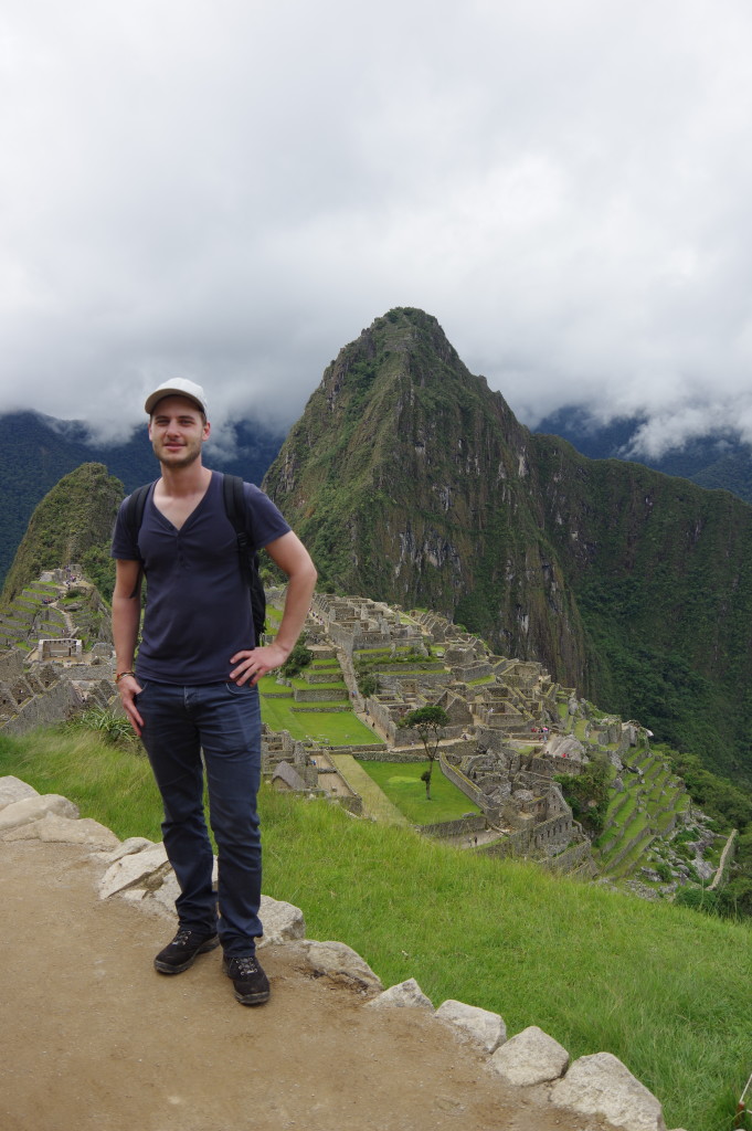
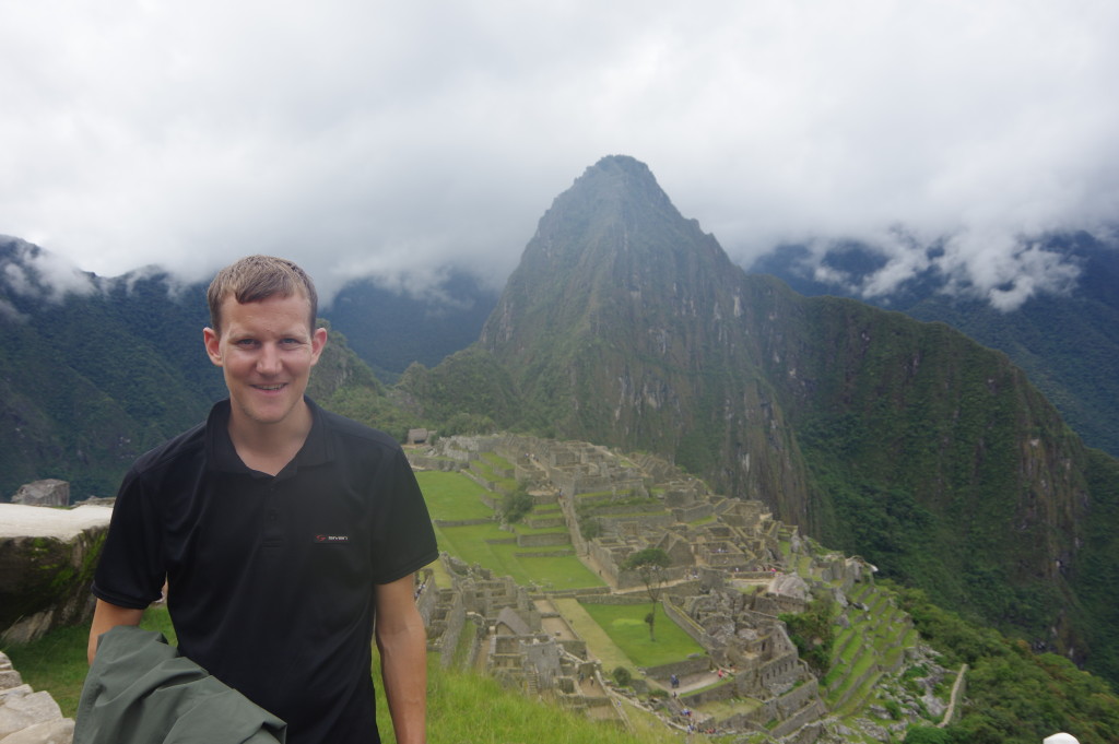
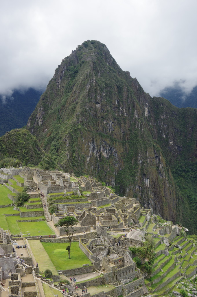
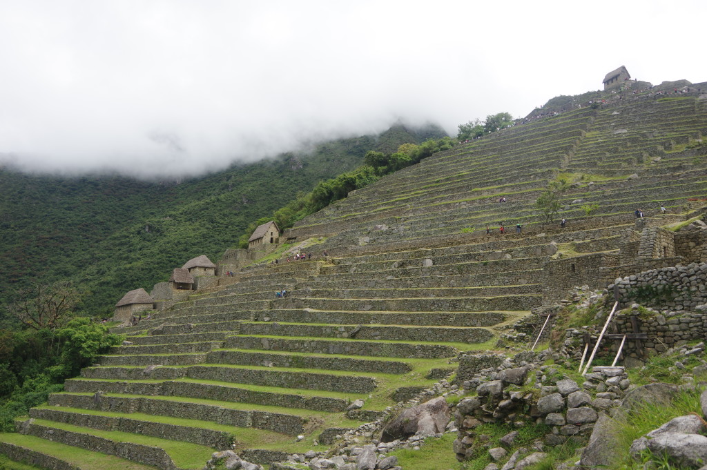
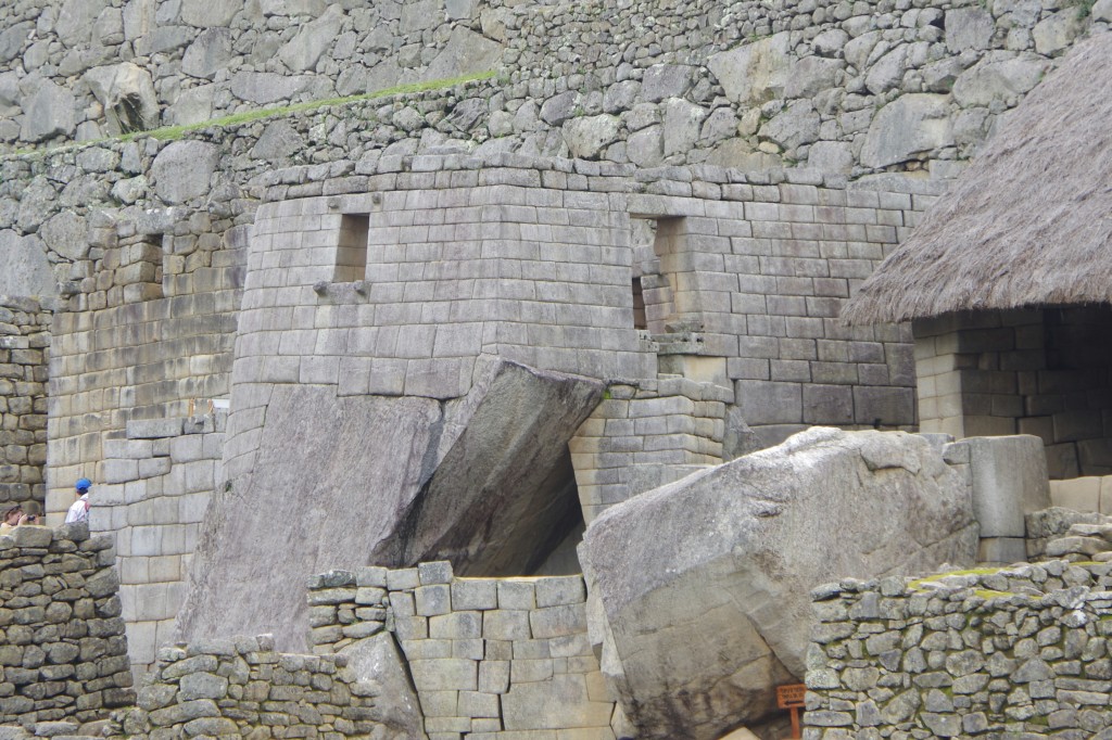
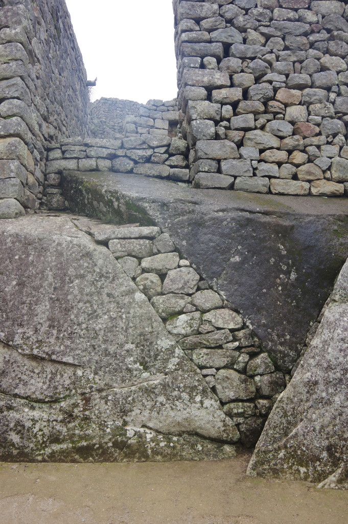
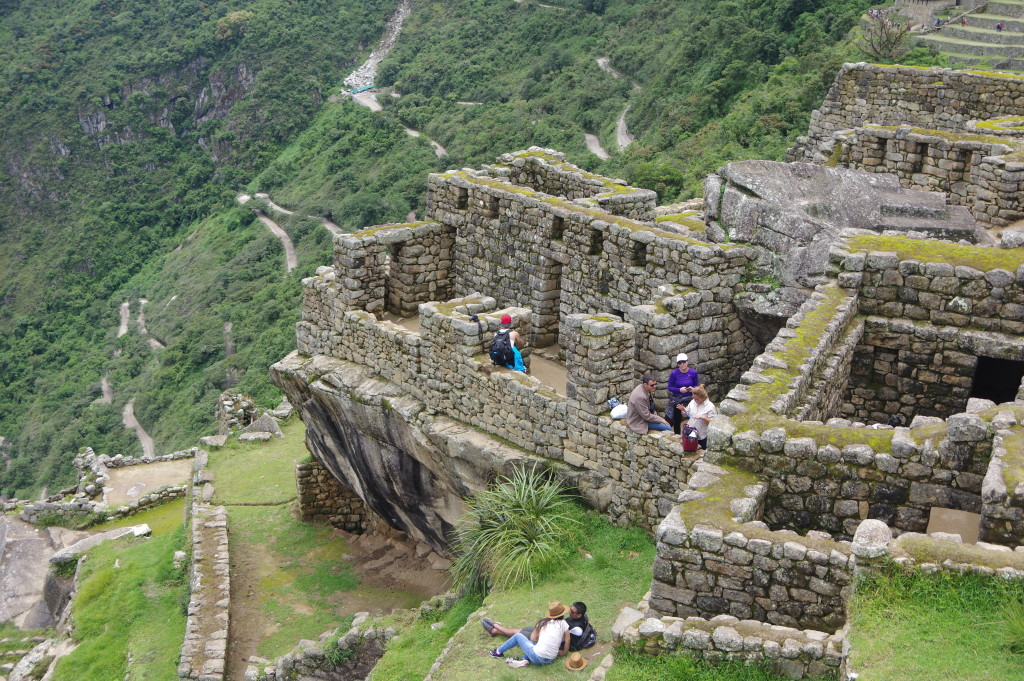
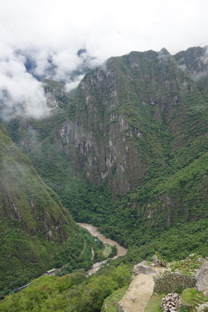
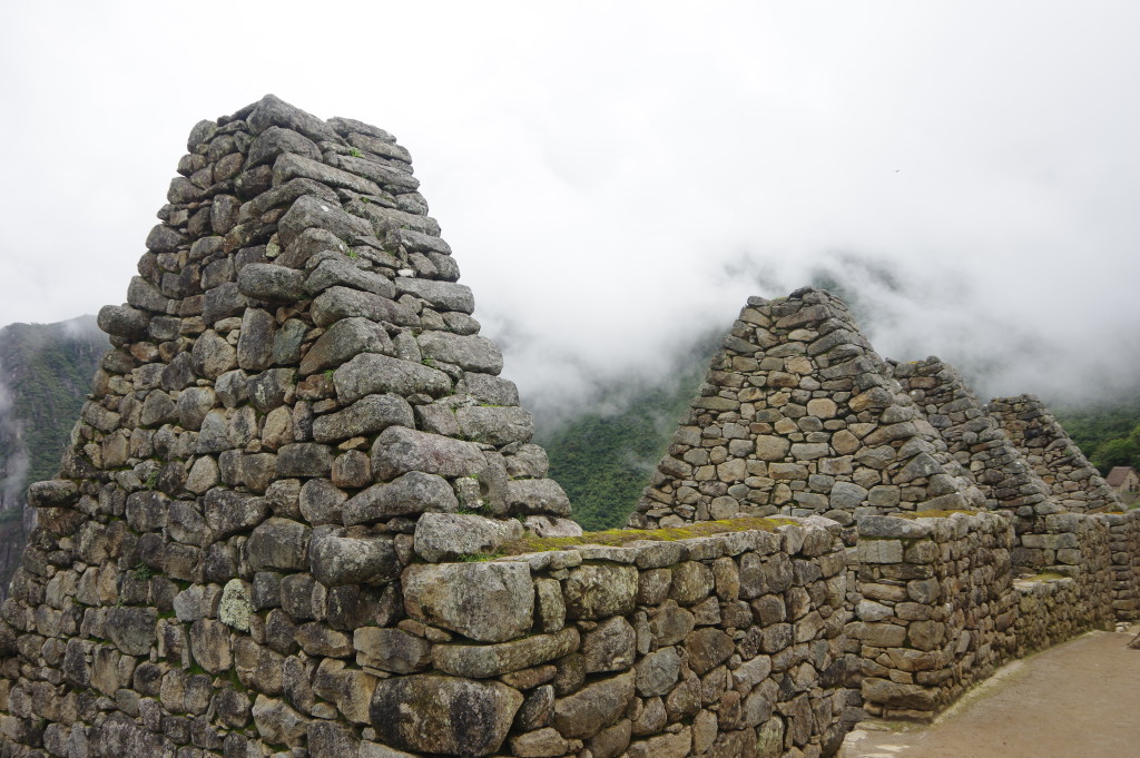
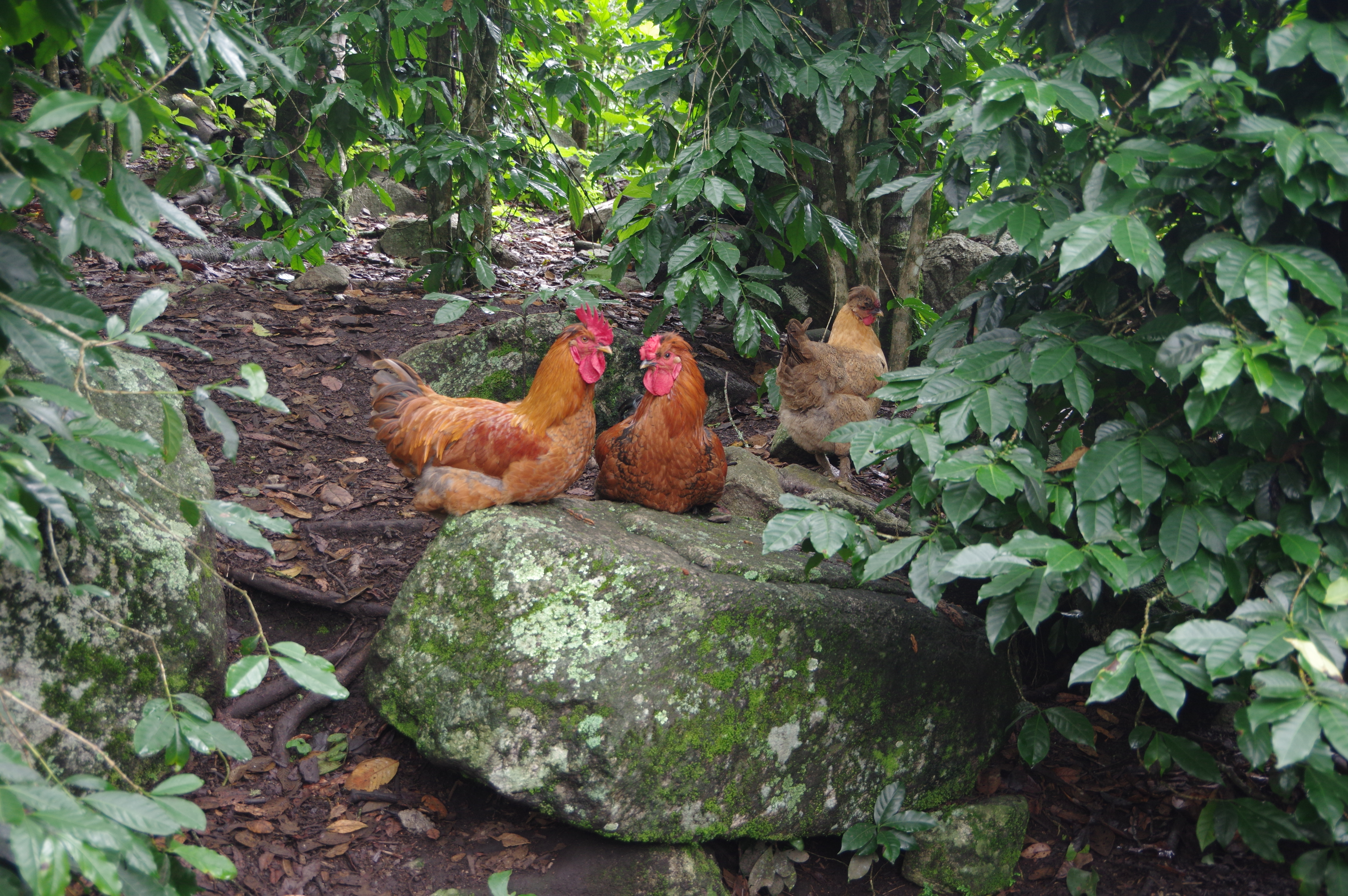
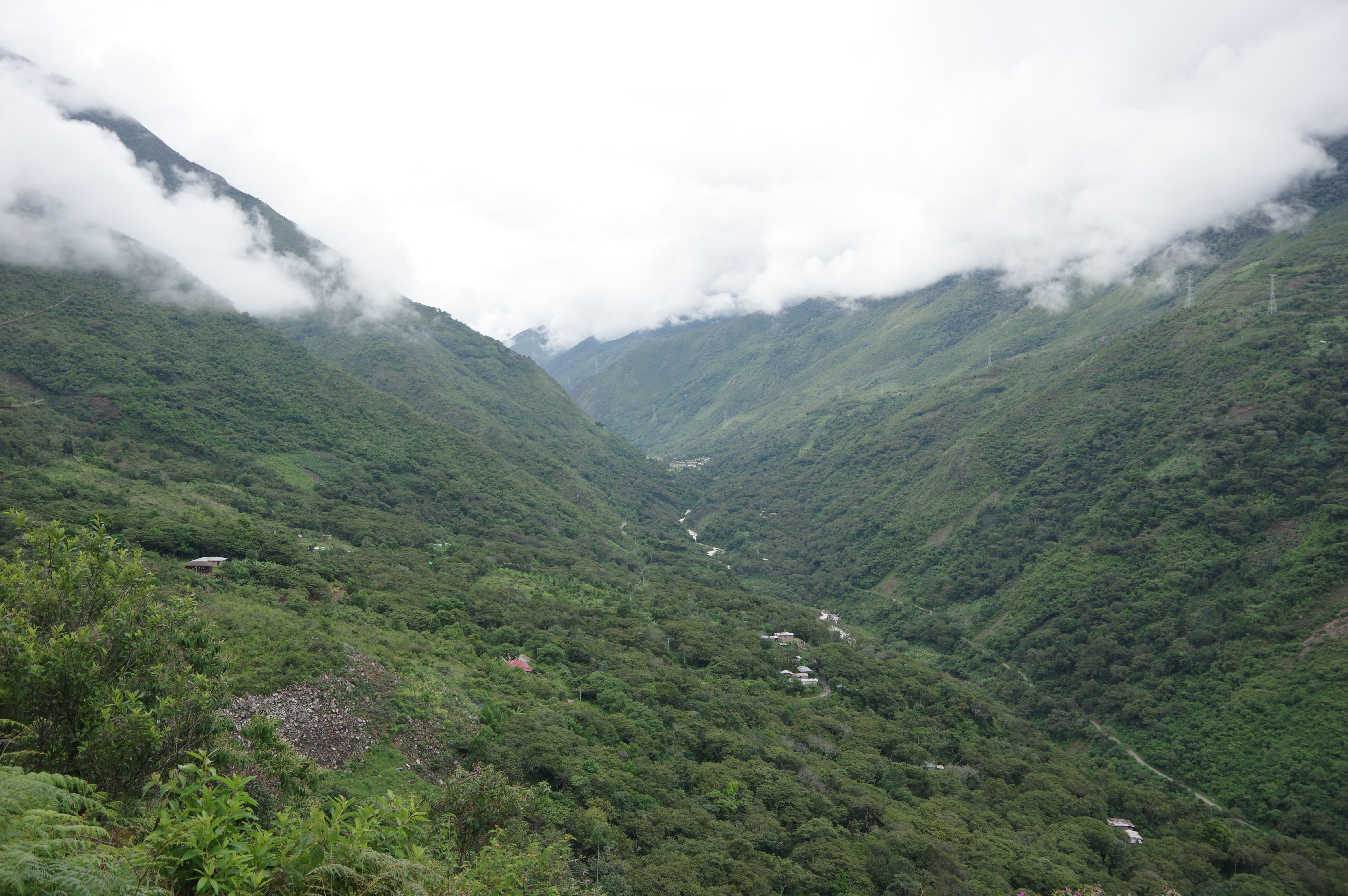
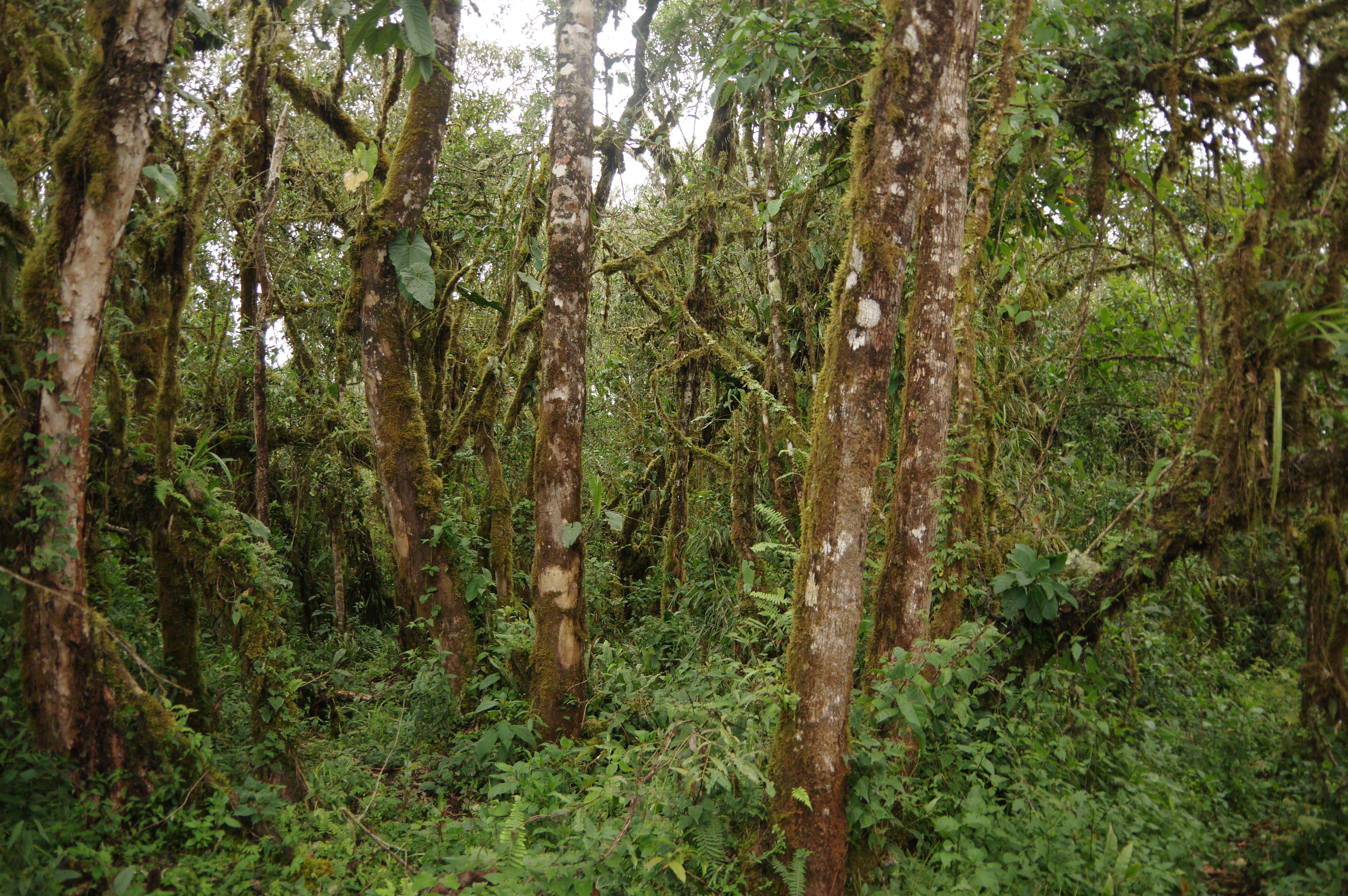
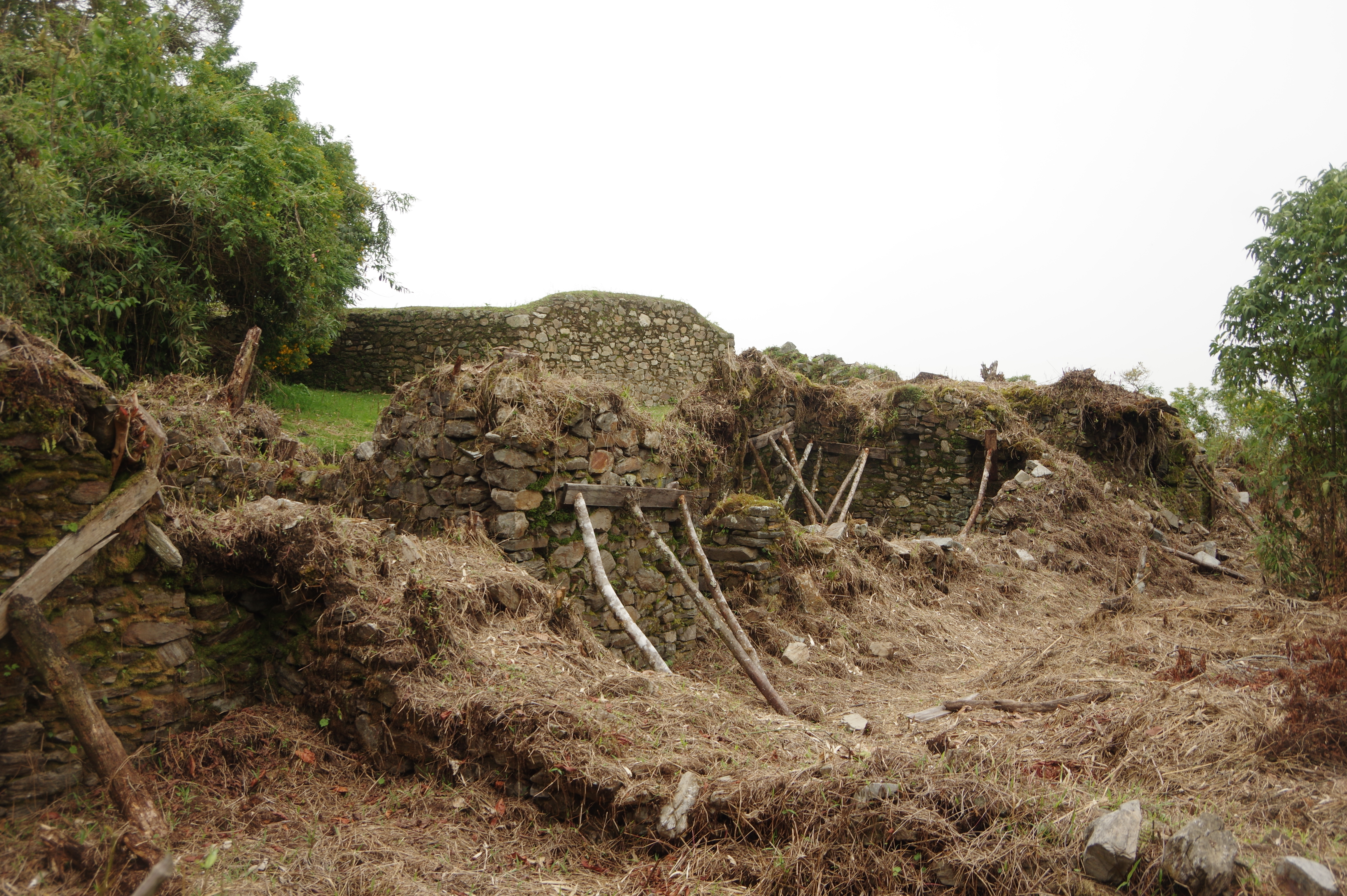
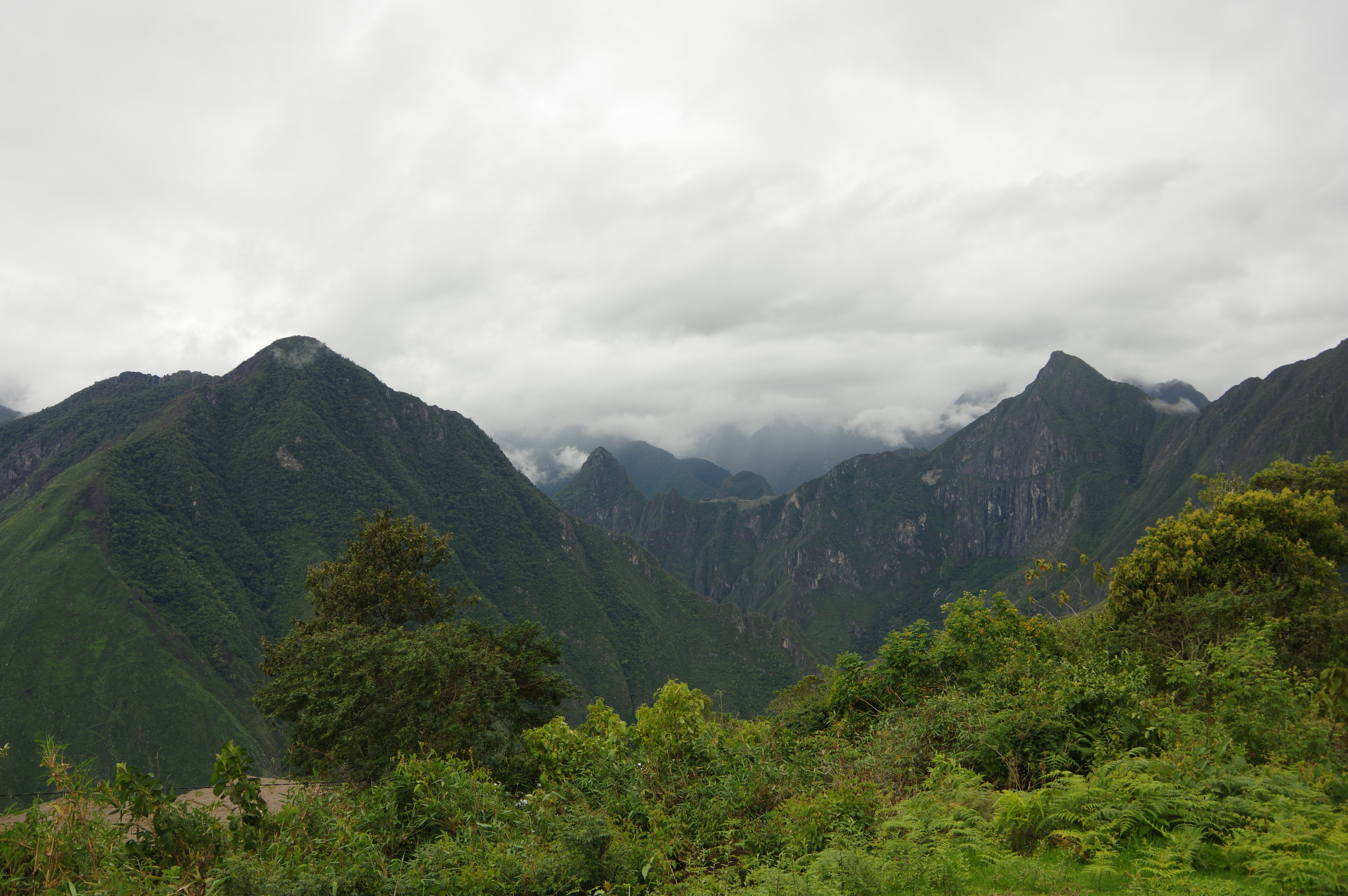
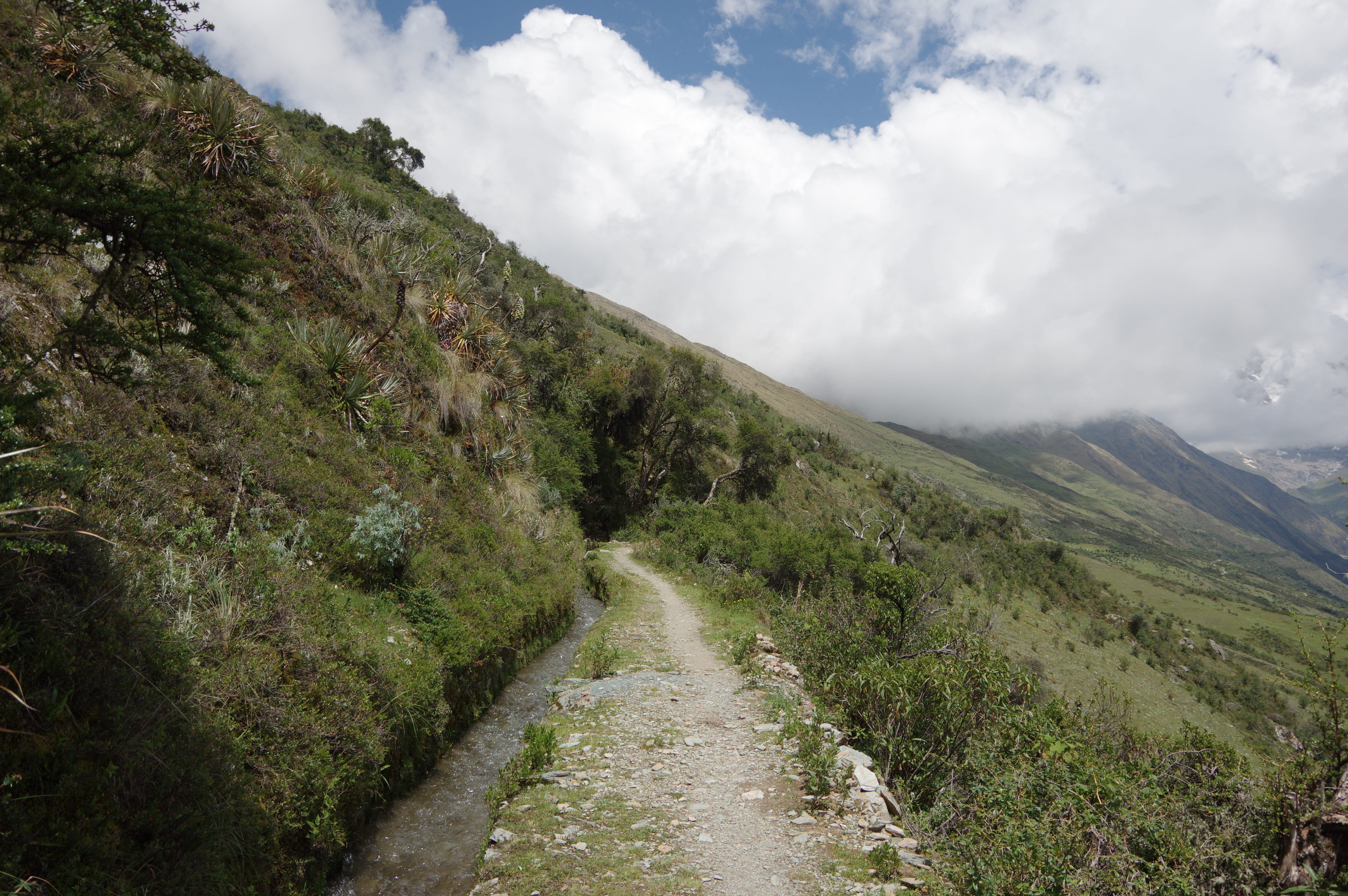
JAN 28, 2016 – I got up at 4:20am in order to be at the entrance of Machu Picchu in time for the first tour. There wasn’t really any reason to get up this early as the weather was cloudy, most of the ruins were covered in fog and it started raining quite heavily during the tour. Nevertheless, I was glad to have a guide explain the history of the city and its buildings to me, and I wasn’t sure I would be able to find a later tour. Afterwards I climbed nearby Montaña Machu Picchu during my assigned time slot, but got no view whatsoever from the top due to the fog. Luckily the rain stopped around 11am and it cleared up, so I was able to visit the stunning mountain city a second time with better visibility. The breathtaking landscape architecture, perfect mortar-free walls on some buildings, and good condition of the site in general made Machu Picchu a real highlight of my trip so far. I was glad to see this one last – after Teotihuacán, Montealbán, Palenque, Yaxchilán, Bonampak, Tikal, and Llactapata. The only weird thing was the absurdly overpriced catering outside the site, and the lack of places offering coffee and shelter. I got lucky and found a guy selling cheap coffee and food, but apparently this was intended for the tour guides really.
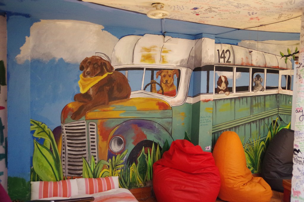
Just like in Cusco, I stayed at the Supertramp hostel in Machu Picchu. The hostel was very beautiful, full of nice murals, and offering good breakfast even early in the morning.
Adrian from Switzerland whom I met at the hostel
Cerro Wayna Picchu
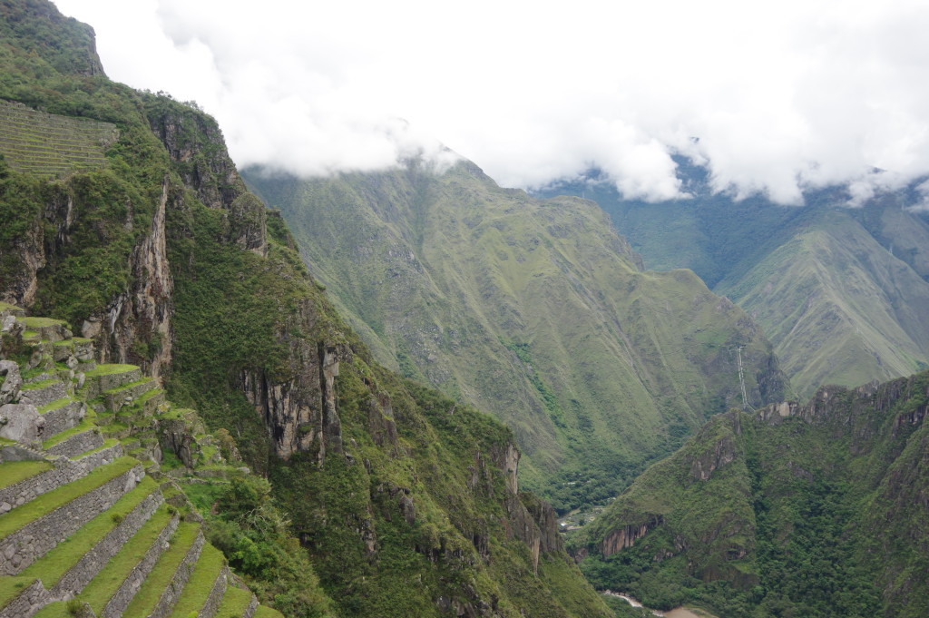
Temple of the SunView towards Llactapata (from where I first saw Machu Picchu)Existing rocks are perfectly integrated in the constructionHouse on a rockView of the valley and the municipal campground
Hostel front facadeMural insideHoverfly that buzzed around the hostel as I was sorting my photos
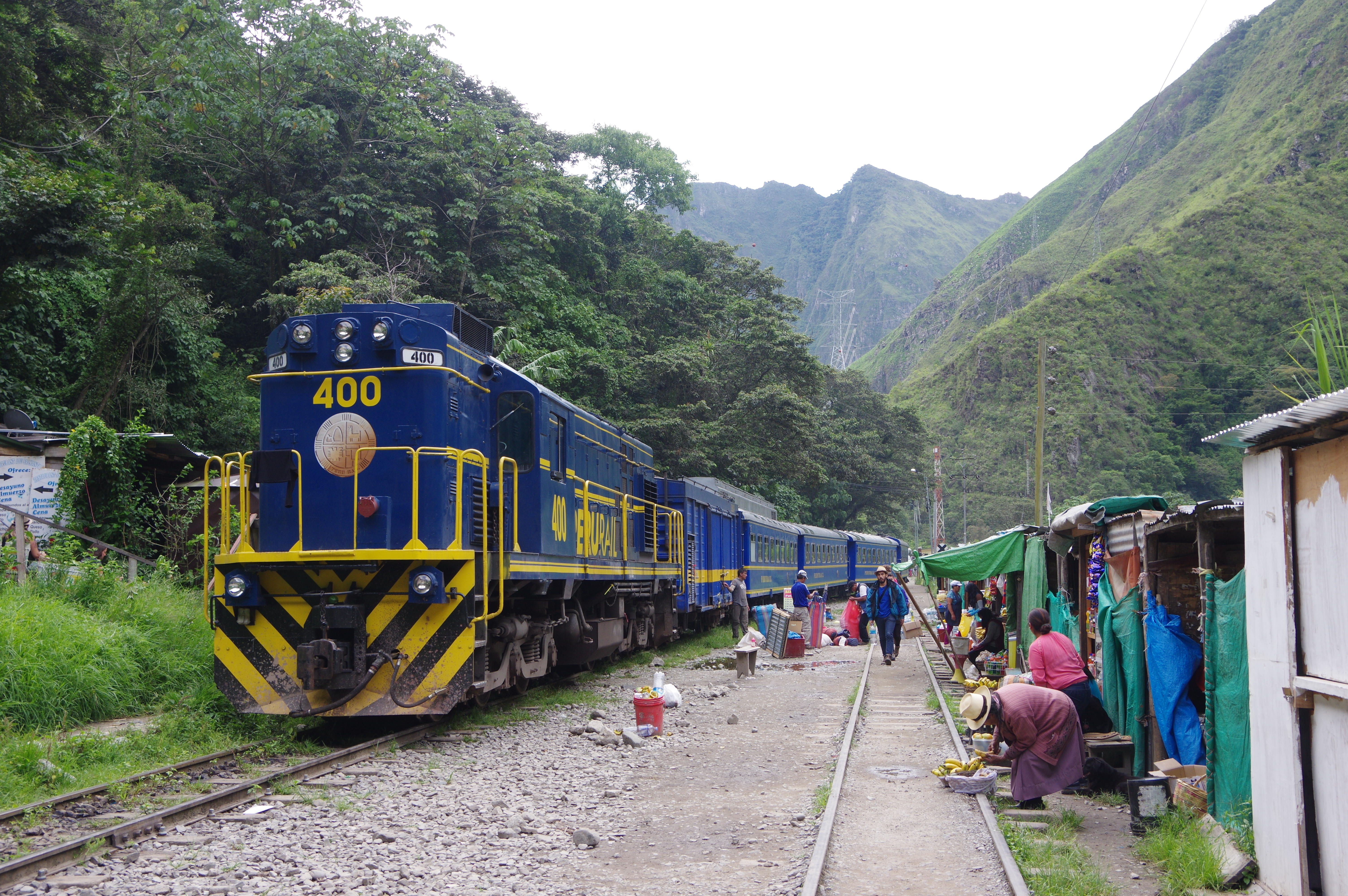
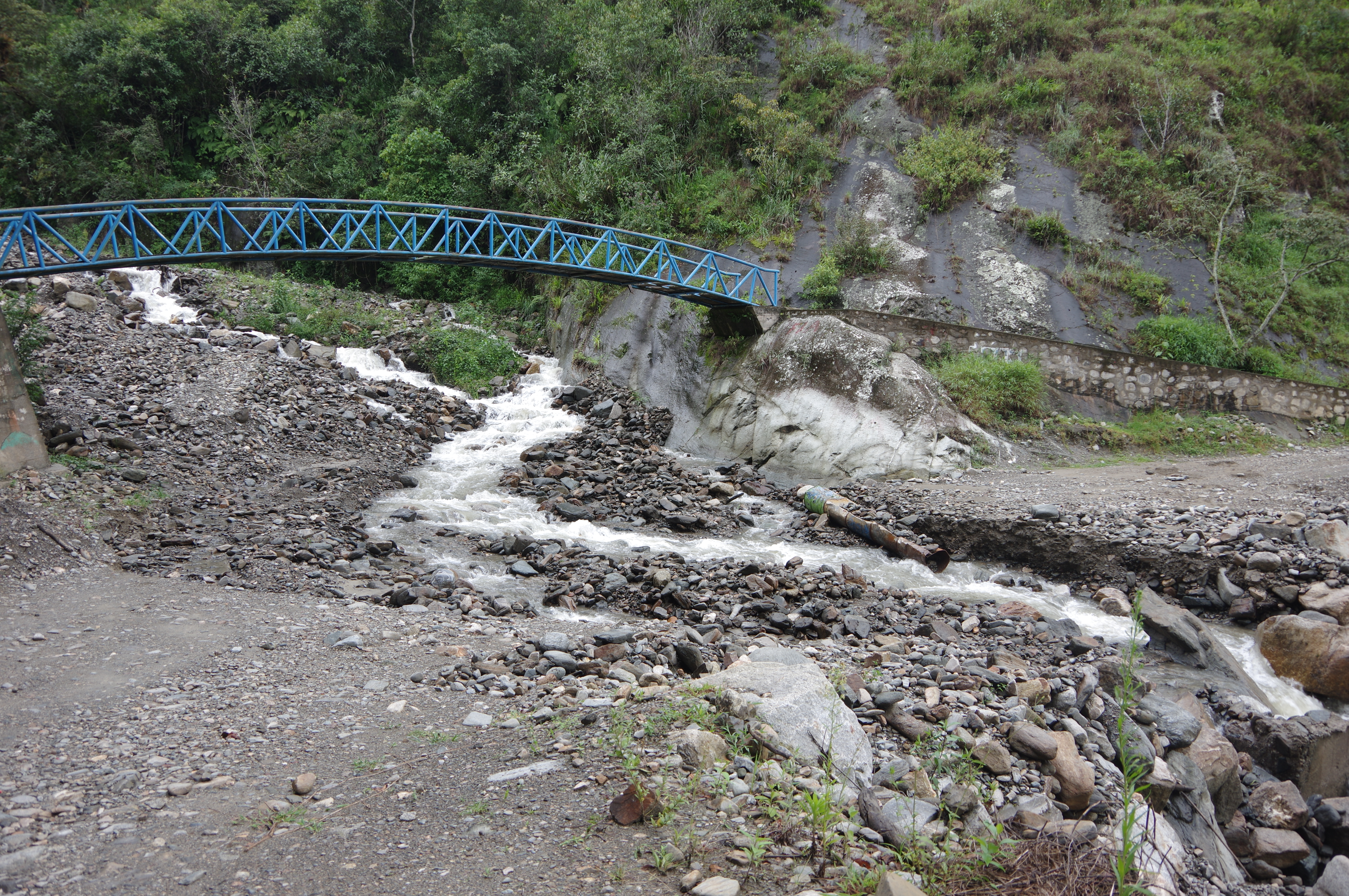
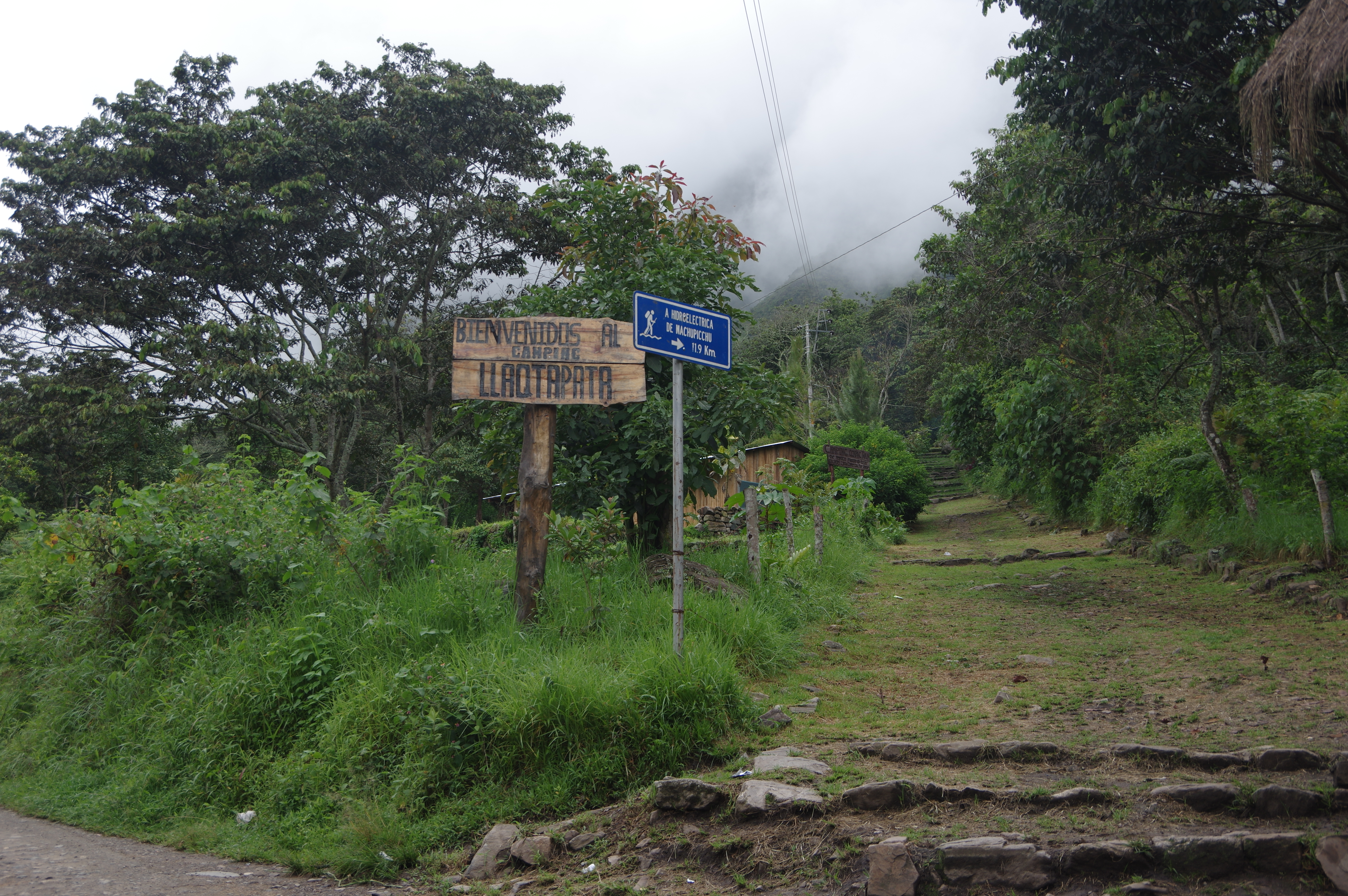
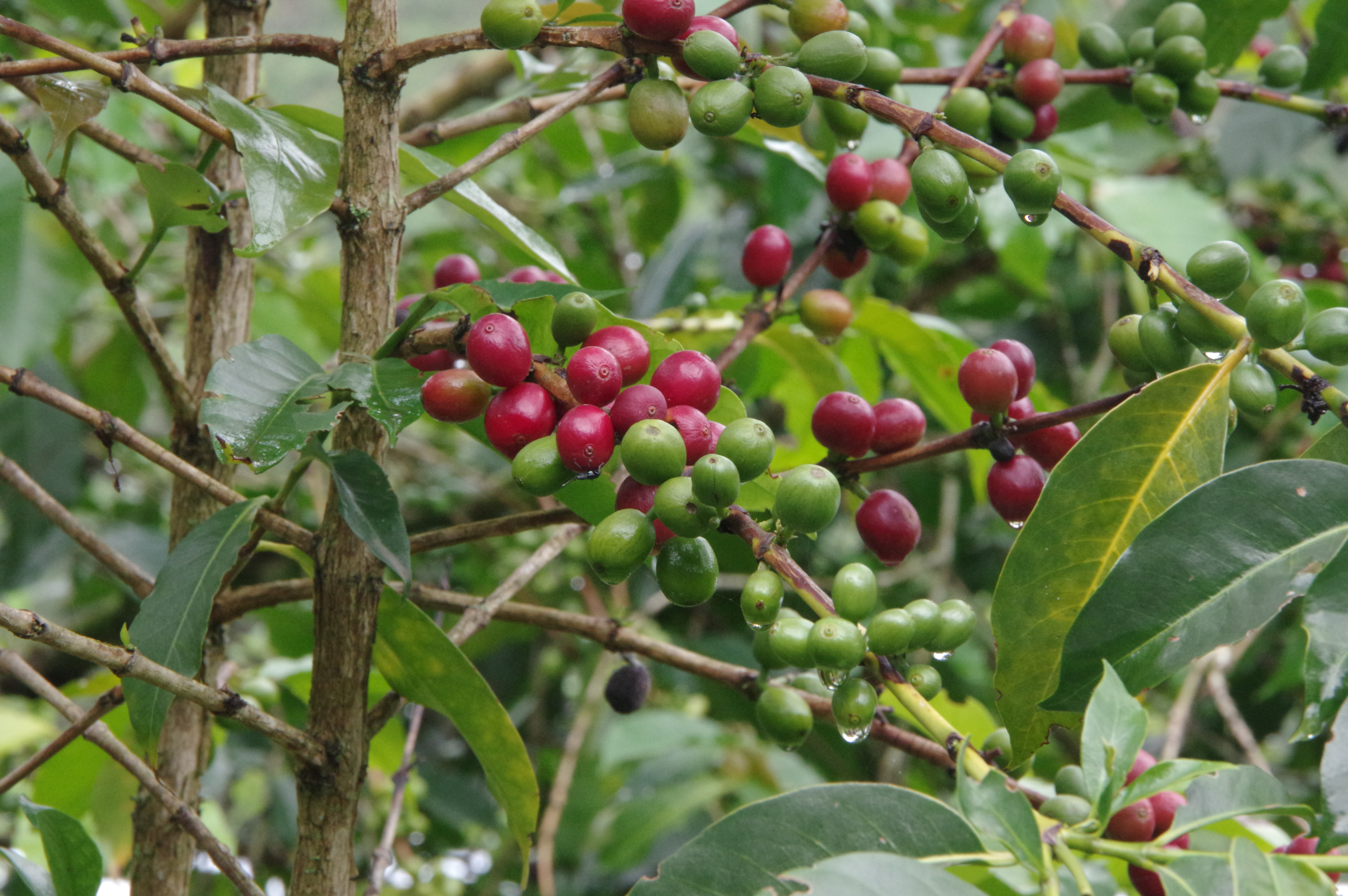
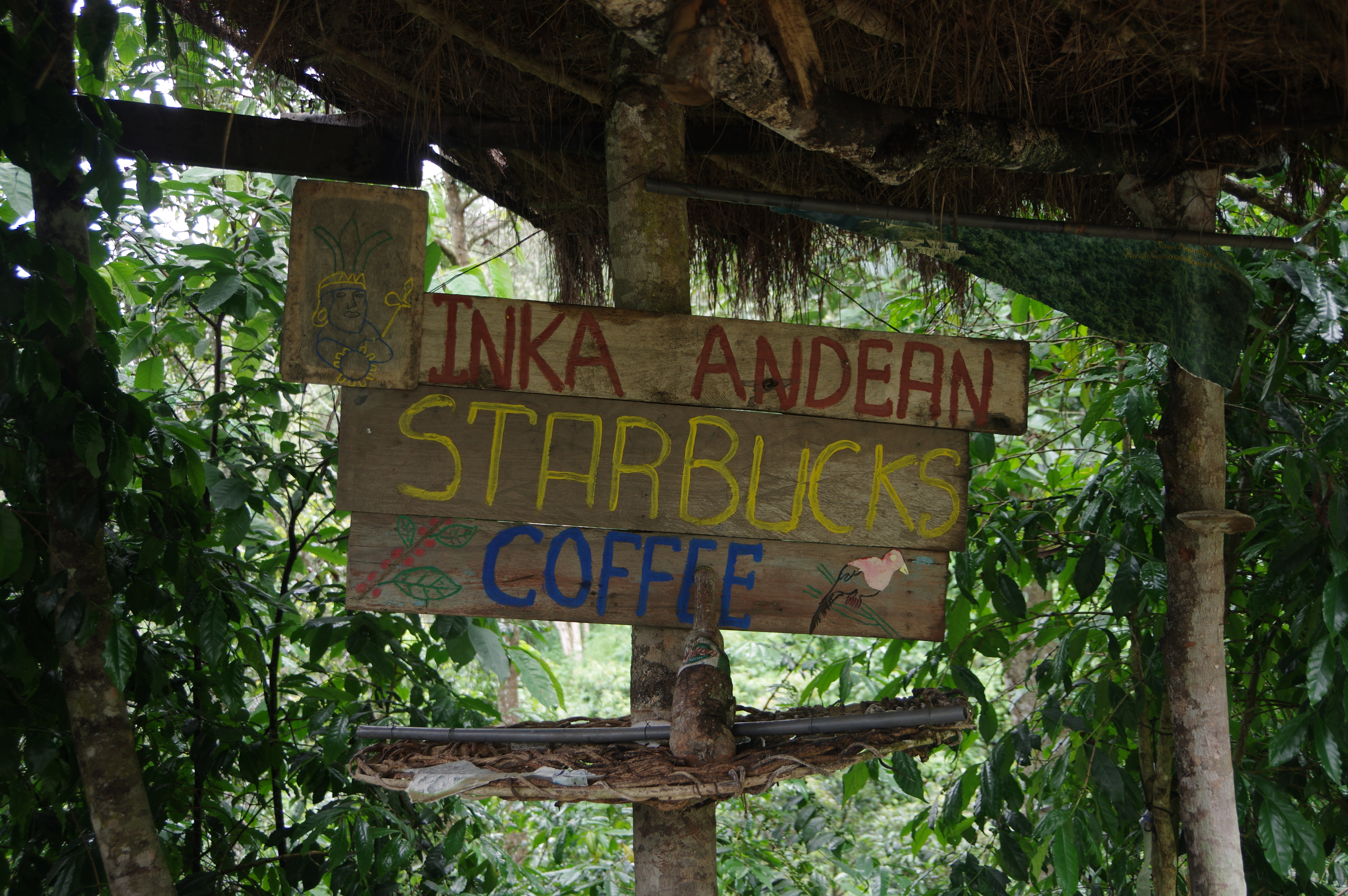
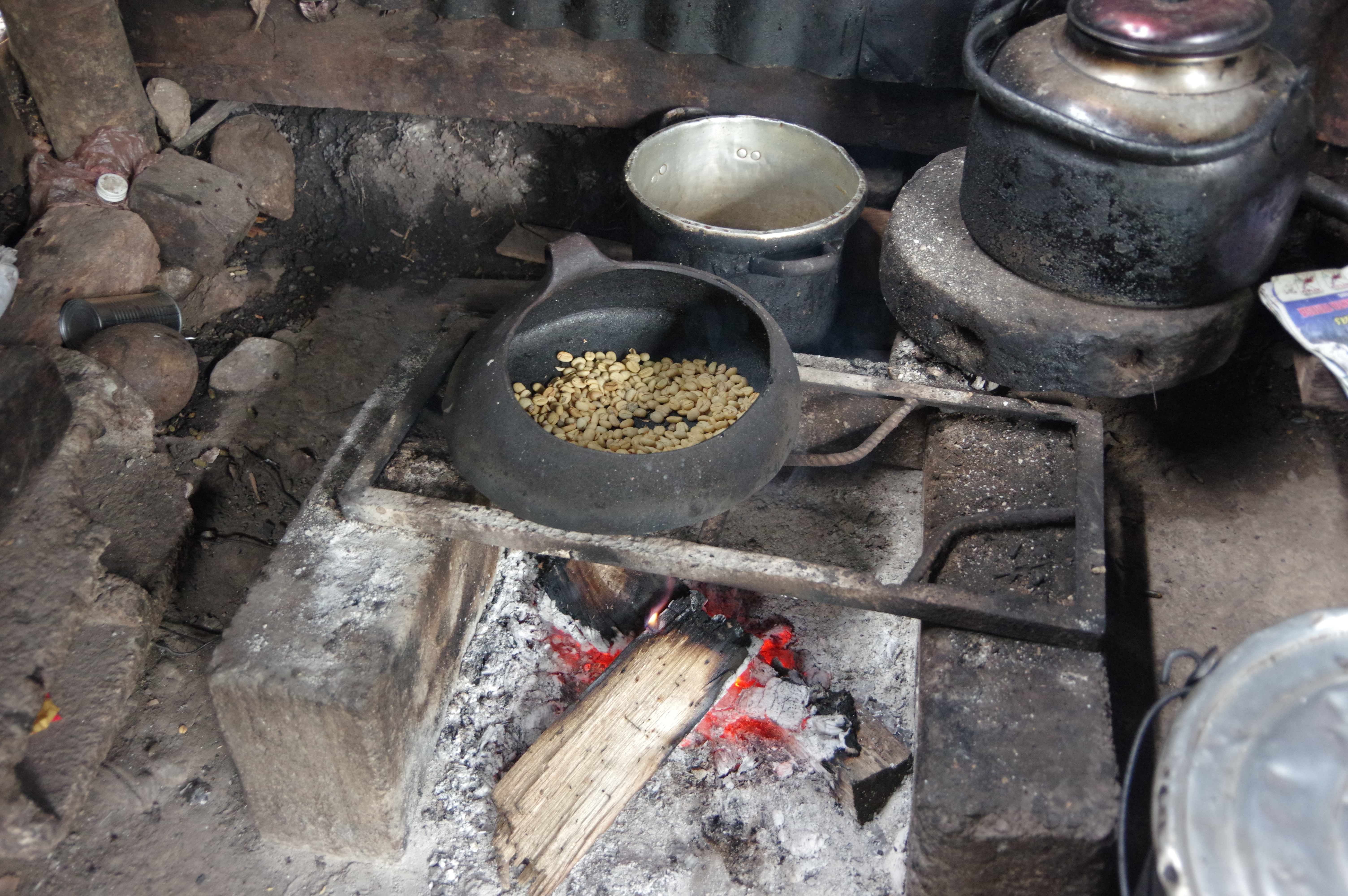
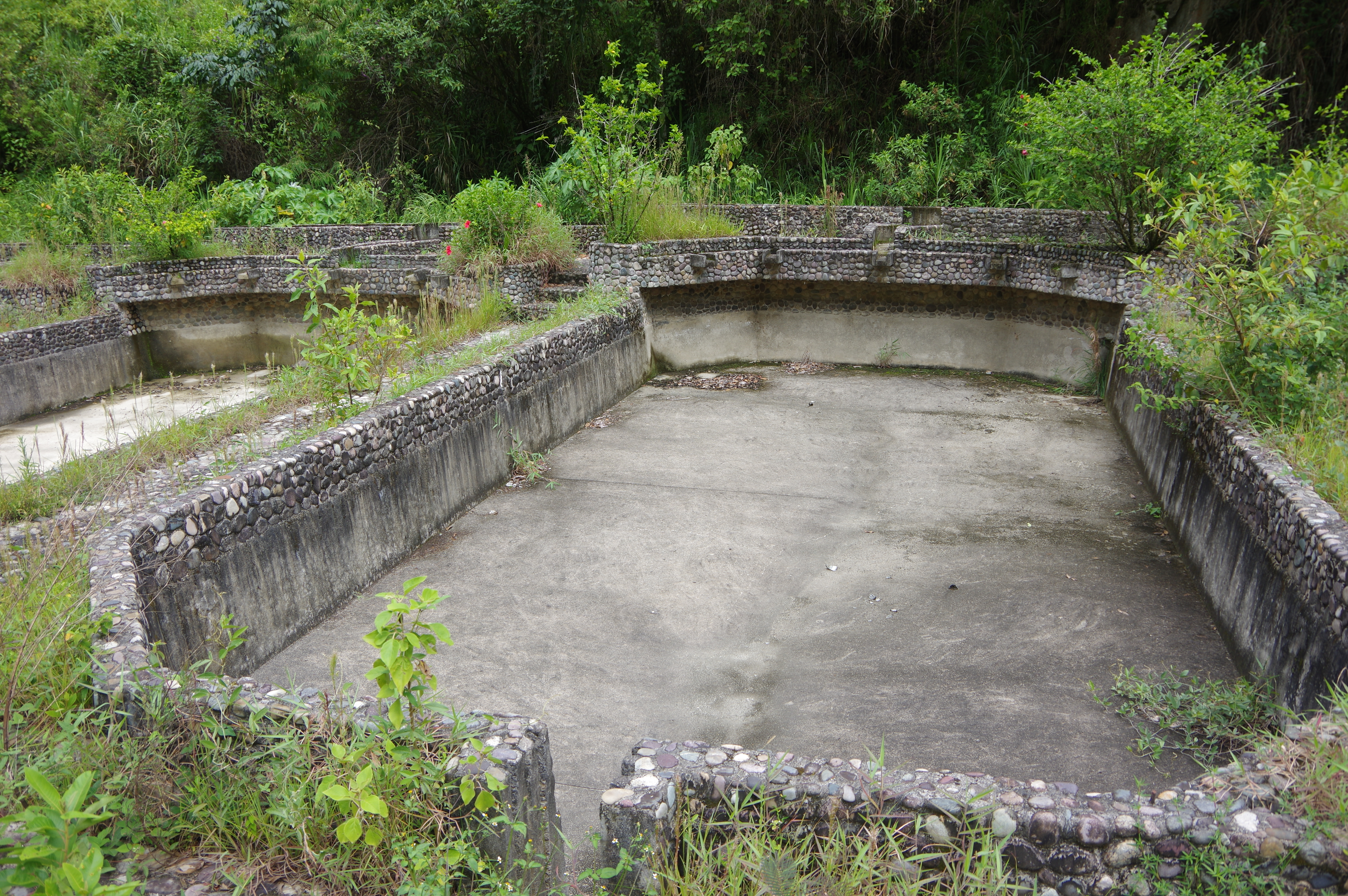
JAN 26, 2016 – I started walking at 7:30 on this last day of my trek. An hour later I got to a place that called itself the “Andean Starbucks”: The hut of a local coffee farmer, where I was able to taste some excellent coffee that was grown and processed there, in the village of Lucmabamba. The farmer even showed me how he roasts the beans on the fire. Full of energy, I continued uphill to the Incan ruins of Llactapata. Just before arriving there, I spent about an hour following a trail that supposedly led to the ruins of Punculloc, only to find that it didn’t go anywhere useful. Then I ate lunch at the Llactapata ruins and started descending towards Hidroeléctrica, where I arrived at 3pm. The trail along the railway tracks from there to Machu Picchu Pueblo was full of tourists and very flat, but still beautiful as it followed the river. I arrived at the municipal campground by 5pm and decided to stay there for a night. From the next day I had a hostel reservation, but since I had given myself four days for the hike, I now had a free day to spend in the village before my visit to the Machu Picchu site. After drying my tent and clothing, I went to the Hot Springs, whose highlight are the cocktails that can be ordered from within the pool. Being a municipal facility, they are very cheap to visit, albeit quite dirty.
Route: The turnoff to Llactapata is well indicated and the trail is in good condition. There are signposts towards Hidroeléctrica. Shortly after the waterfalls, the trail ends at a road. Turn right and follow the road for about a kilometer to arrive at the railway station. Register at an information booth along the way (no entrance fee). Again I used OpenStreetMap for verification; the entire trail is on it. No water between Lucmabamba and the campsite/lodge below Llactapata. Carry 2 liters and refill as necessary. Small tiendas sell food along the rails in Hidroeléctrica and in several places on the way to Machu Picchu Pueblo.
Summary: The Salkantay trek is a great alternative to the crowded and expensive inca trail. It is easy to do on your own with proper preparation and does not require any special permits or campground reservations. Thanks to the numerous camping options, you can adapt the length of the trek to your fitness. Doing the Llactapata variant in three days is pretty tough.
The road has been washed away (apparently there is another access road to the village though)Turnoff to Llactapata
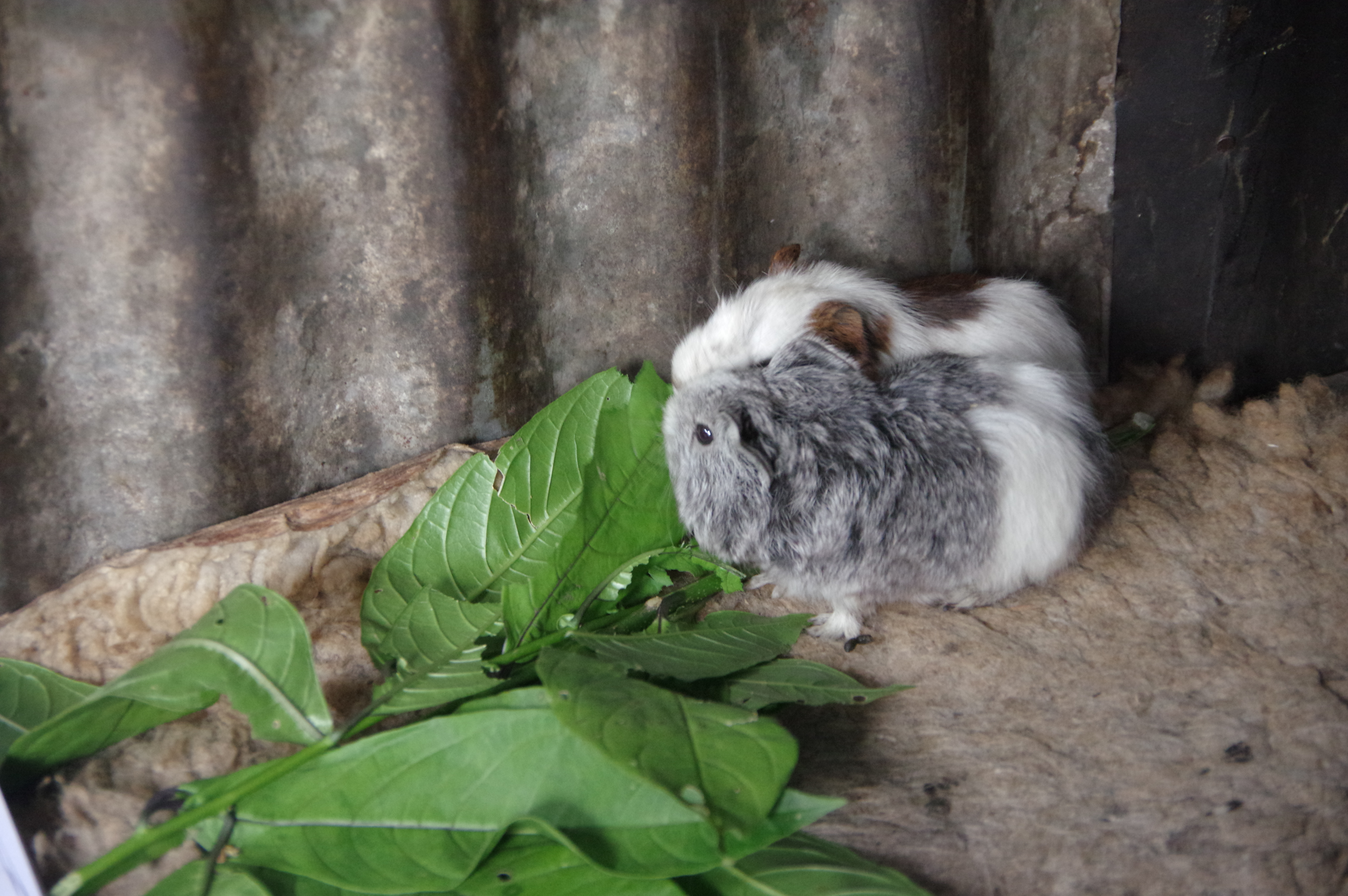
No lawsuits have been filed by Starbucks against this sign yetGuinea pig living in the coffee farmer’s hutFresh, organic, local coffeeRoasting beans on the fireHut from outsideGarden around the hut
I think these are granadillas
The non-trail to the hypothetical Punculloc ruins
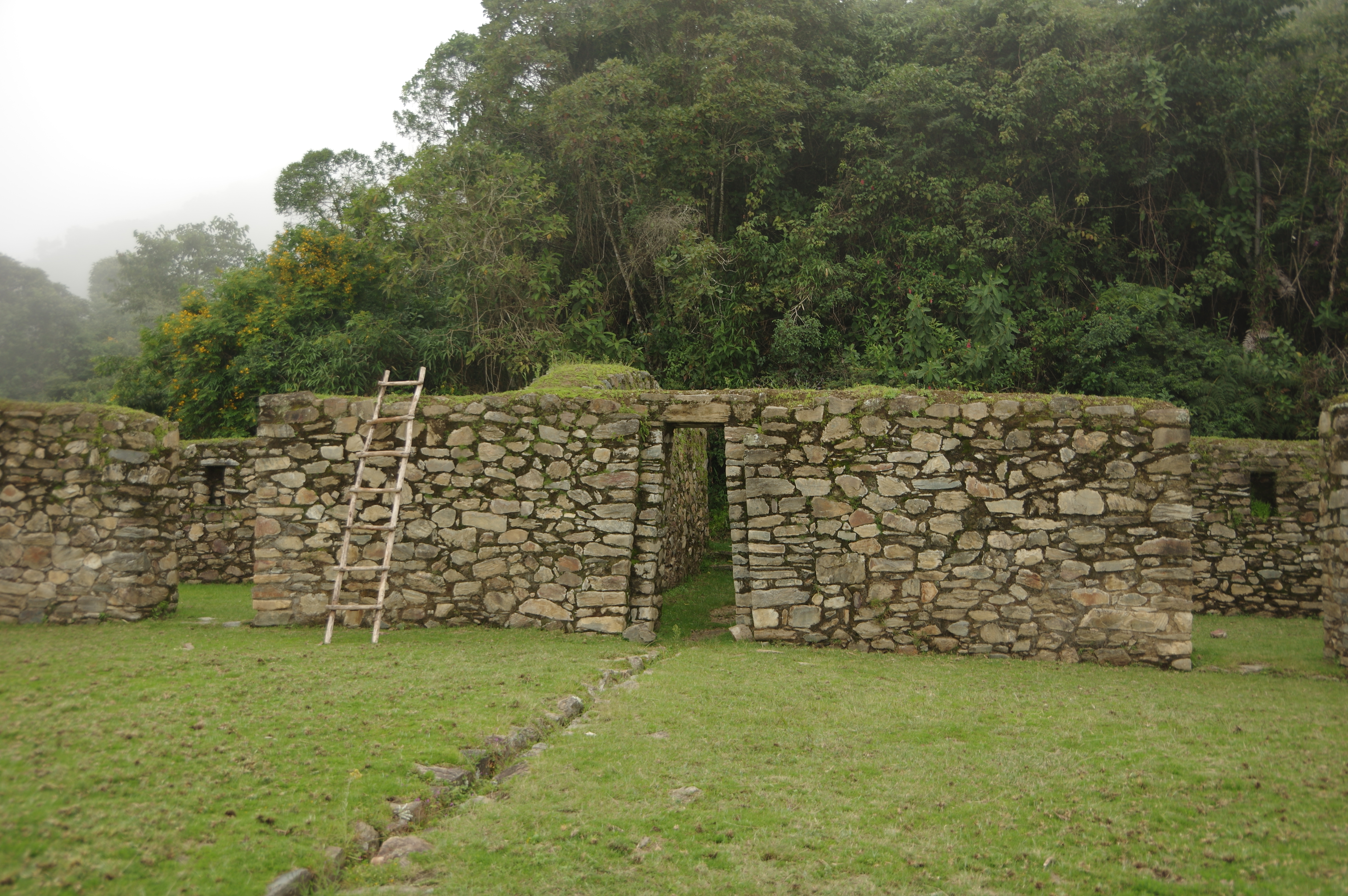
The sign looks promising, does it not?Llactapata ruins (apparently there are others by the same name along the inca trail)Unrestored part of the ruinsA first glimpse of Machu Picchu
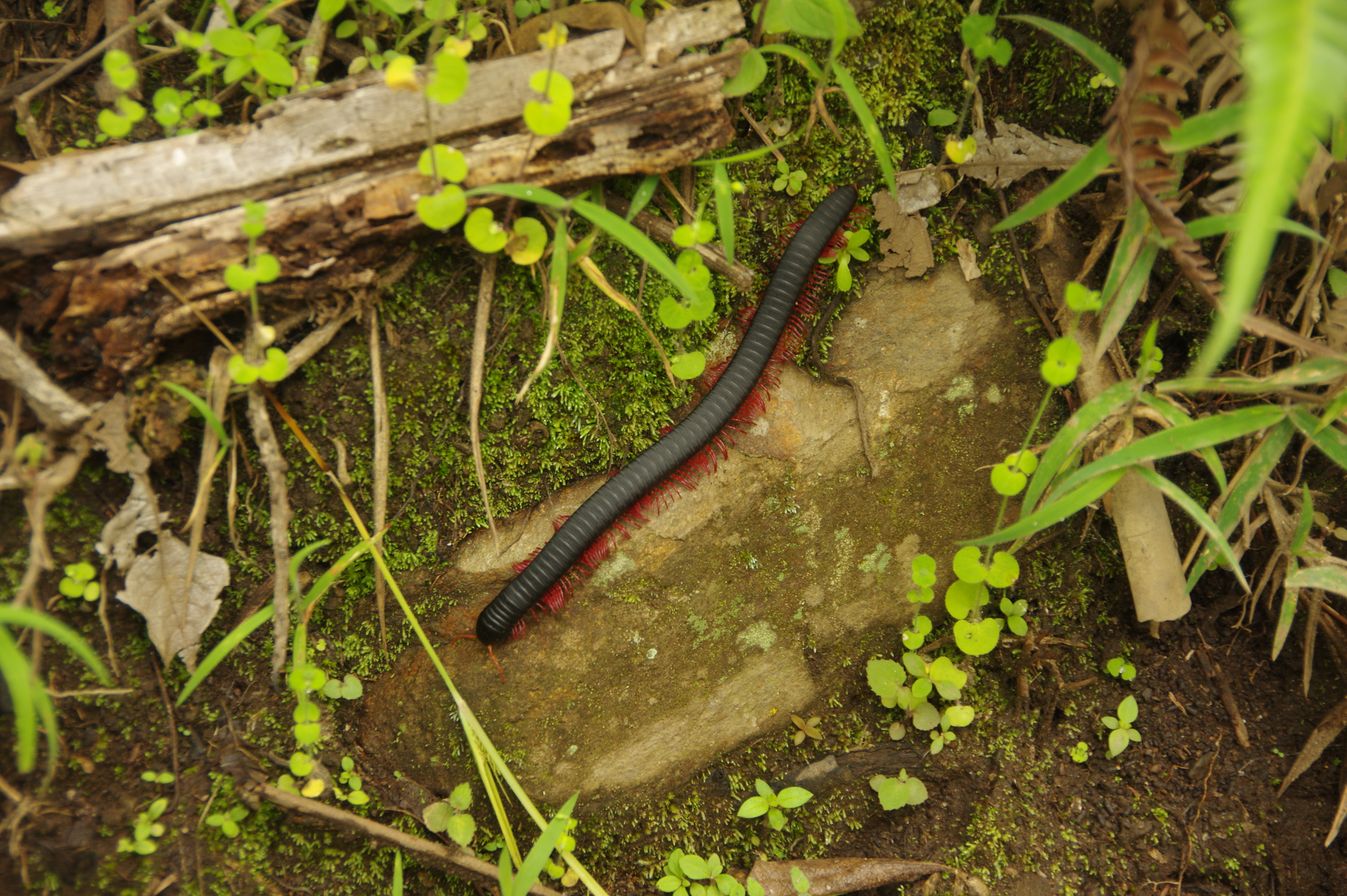
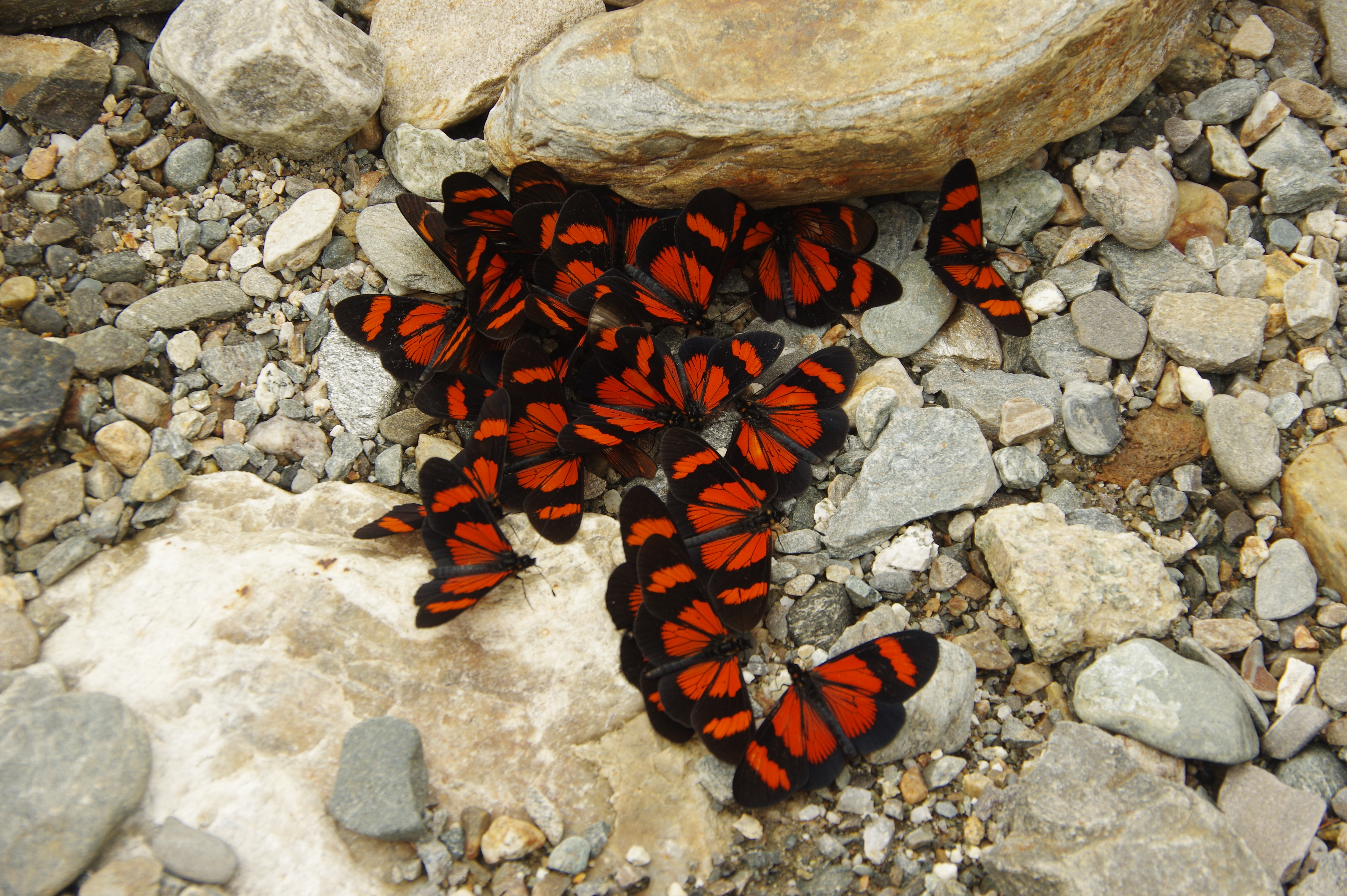
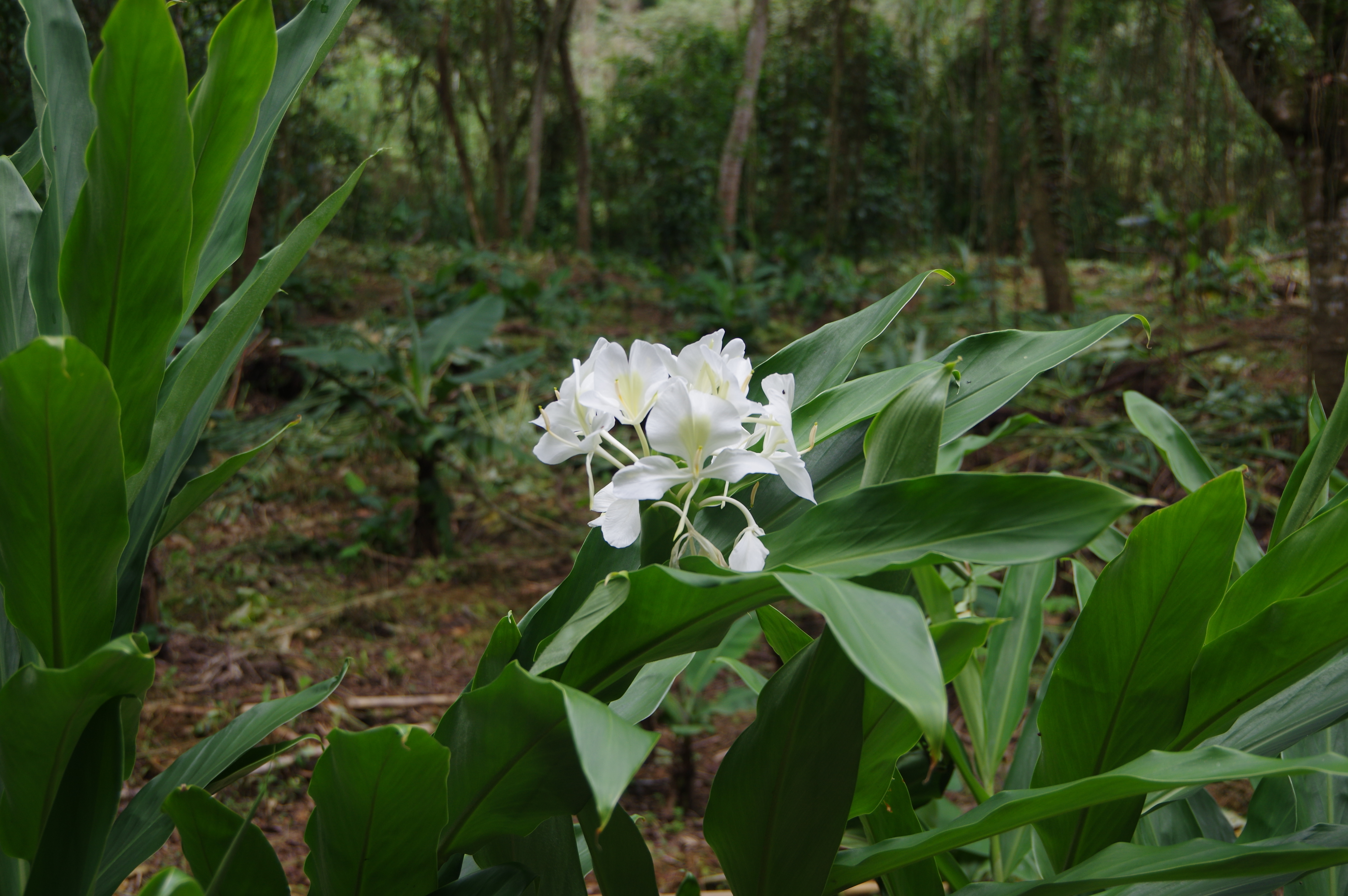
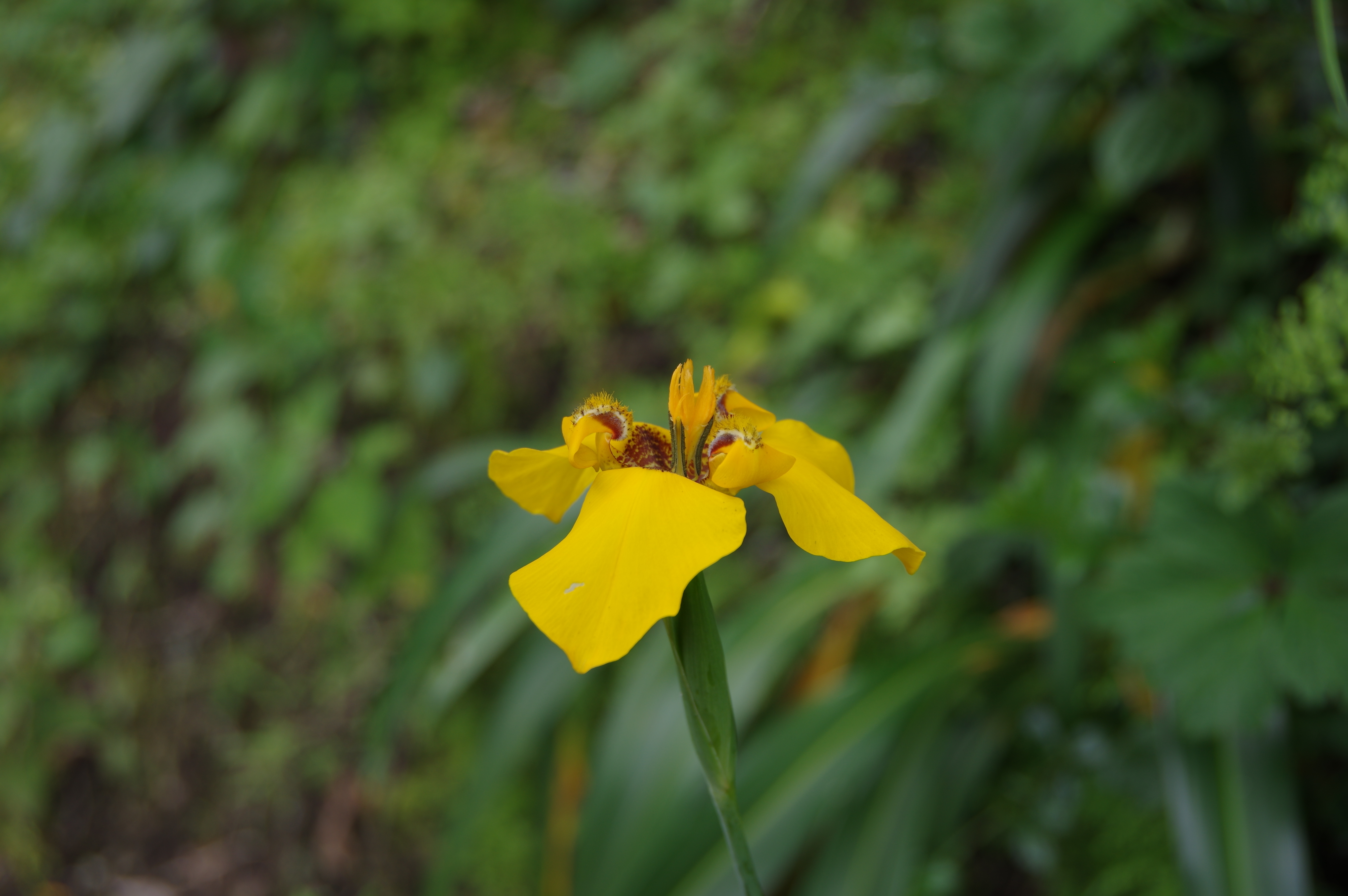
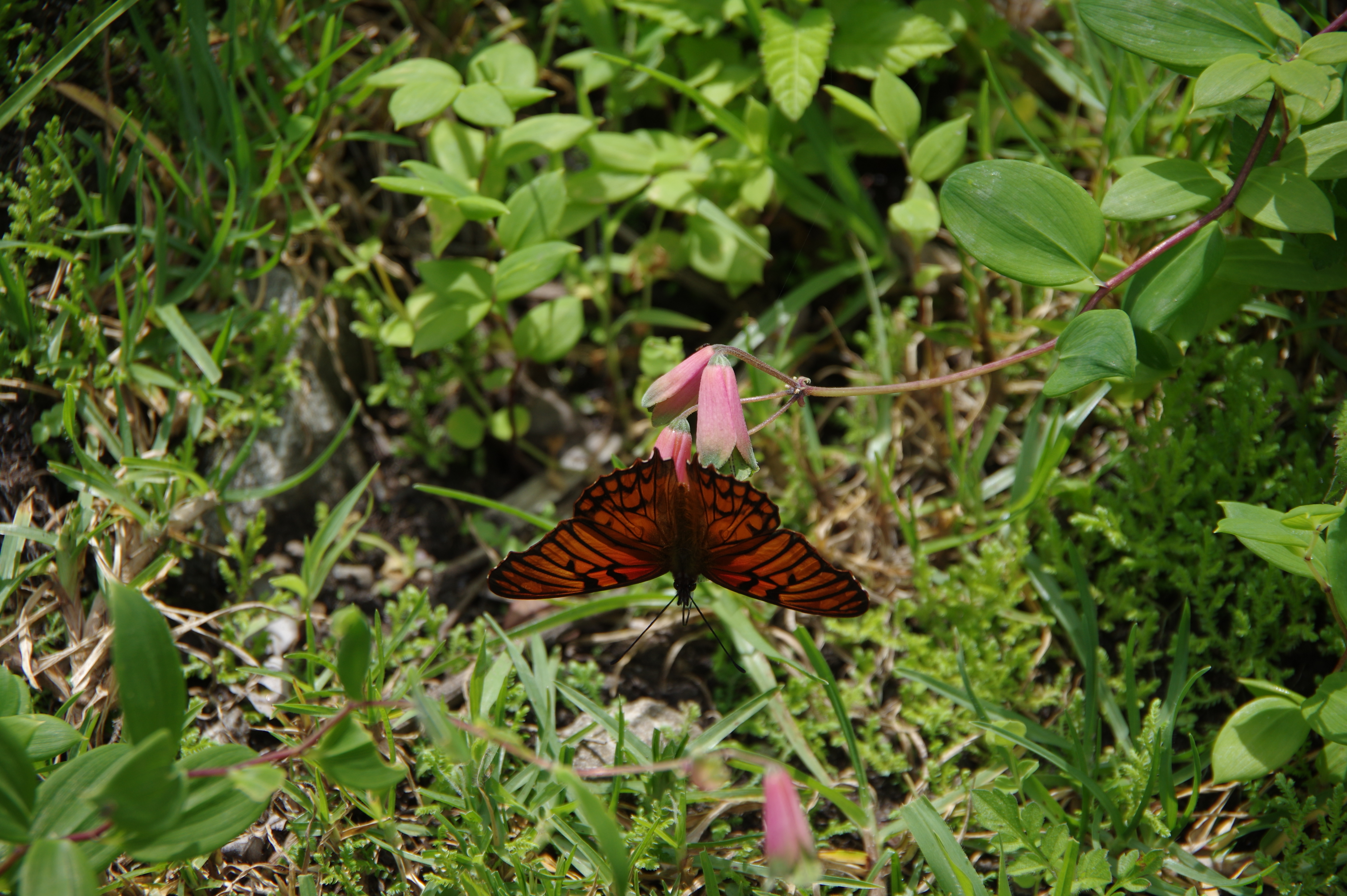
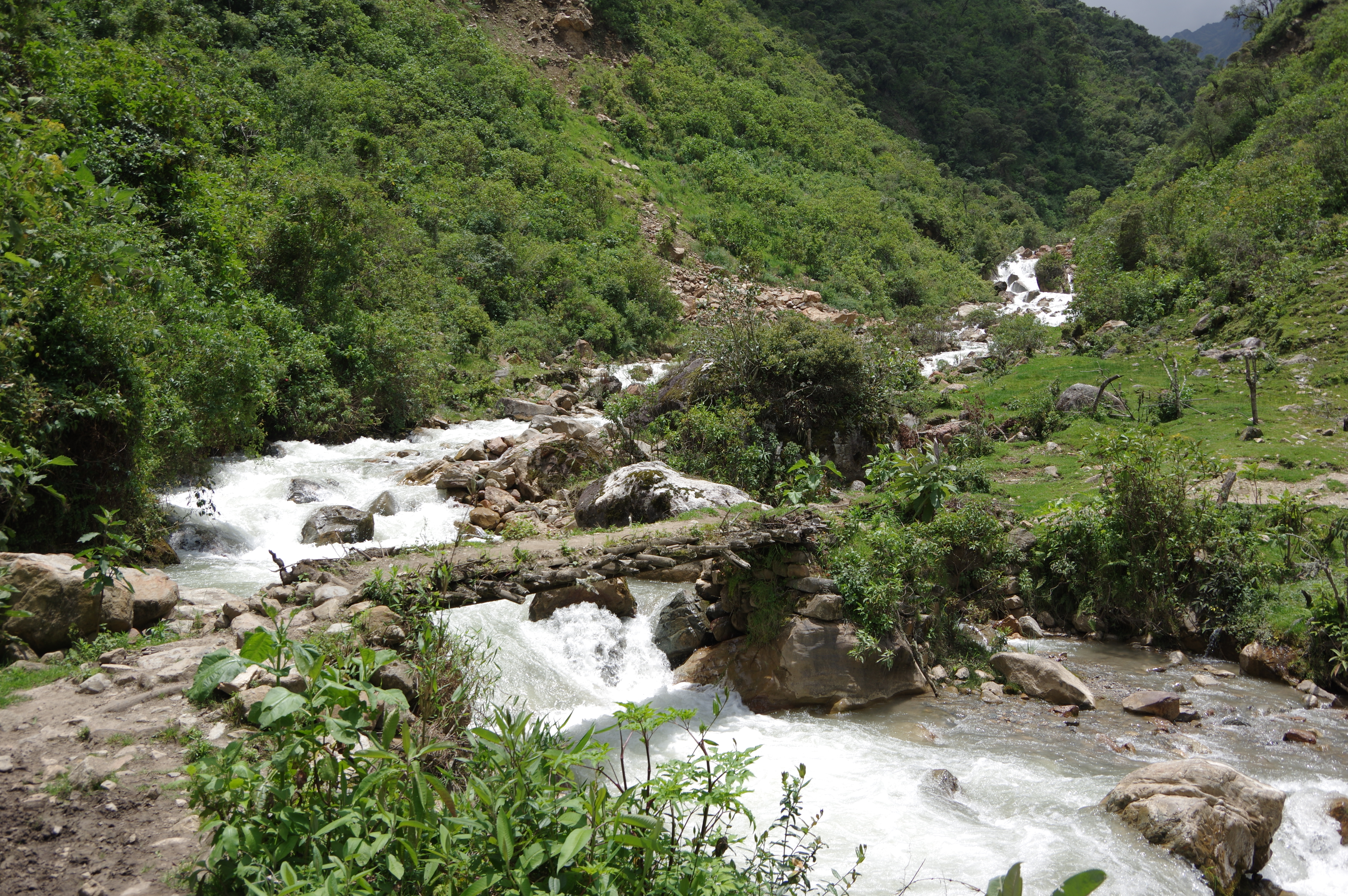
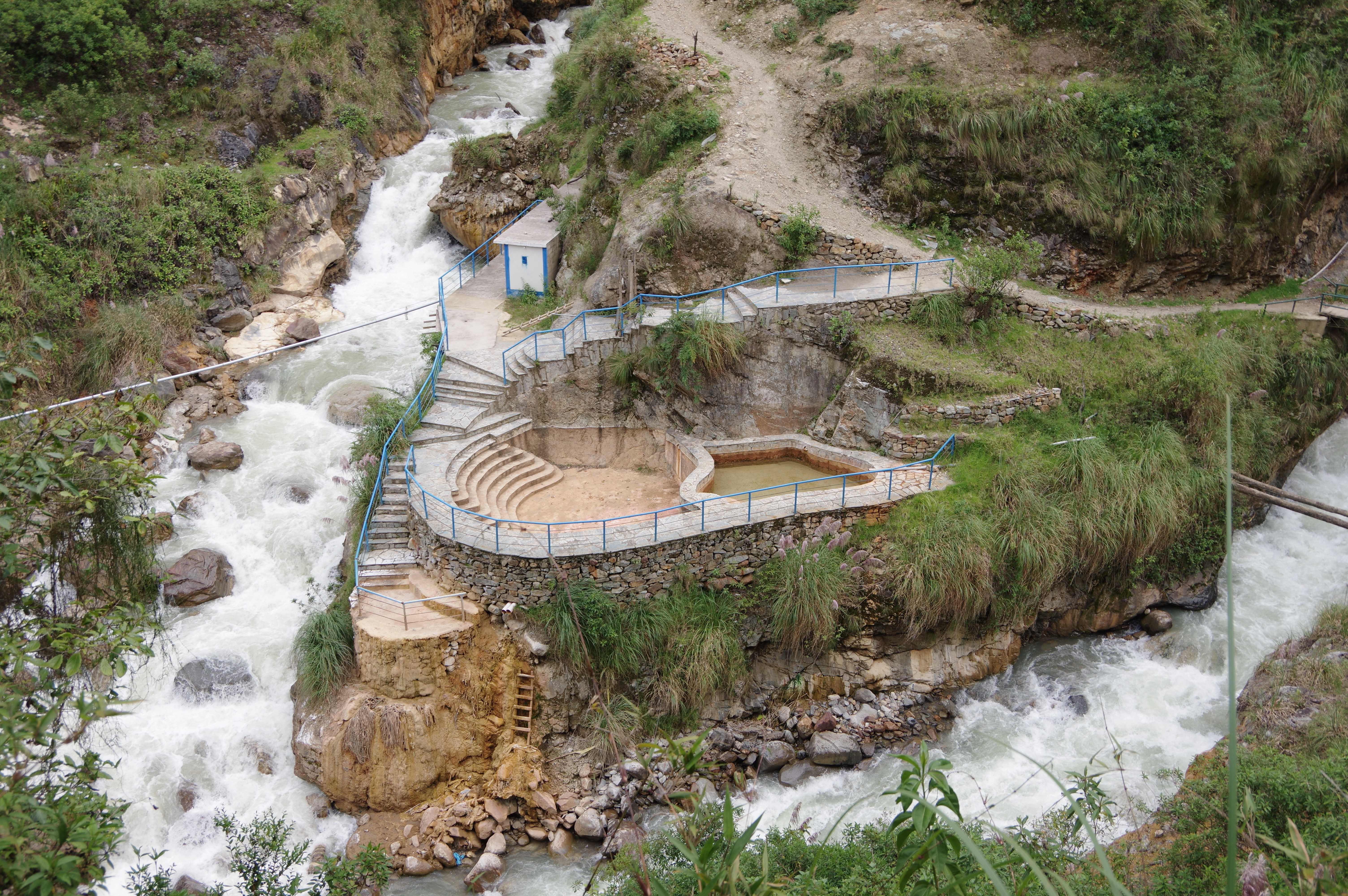
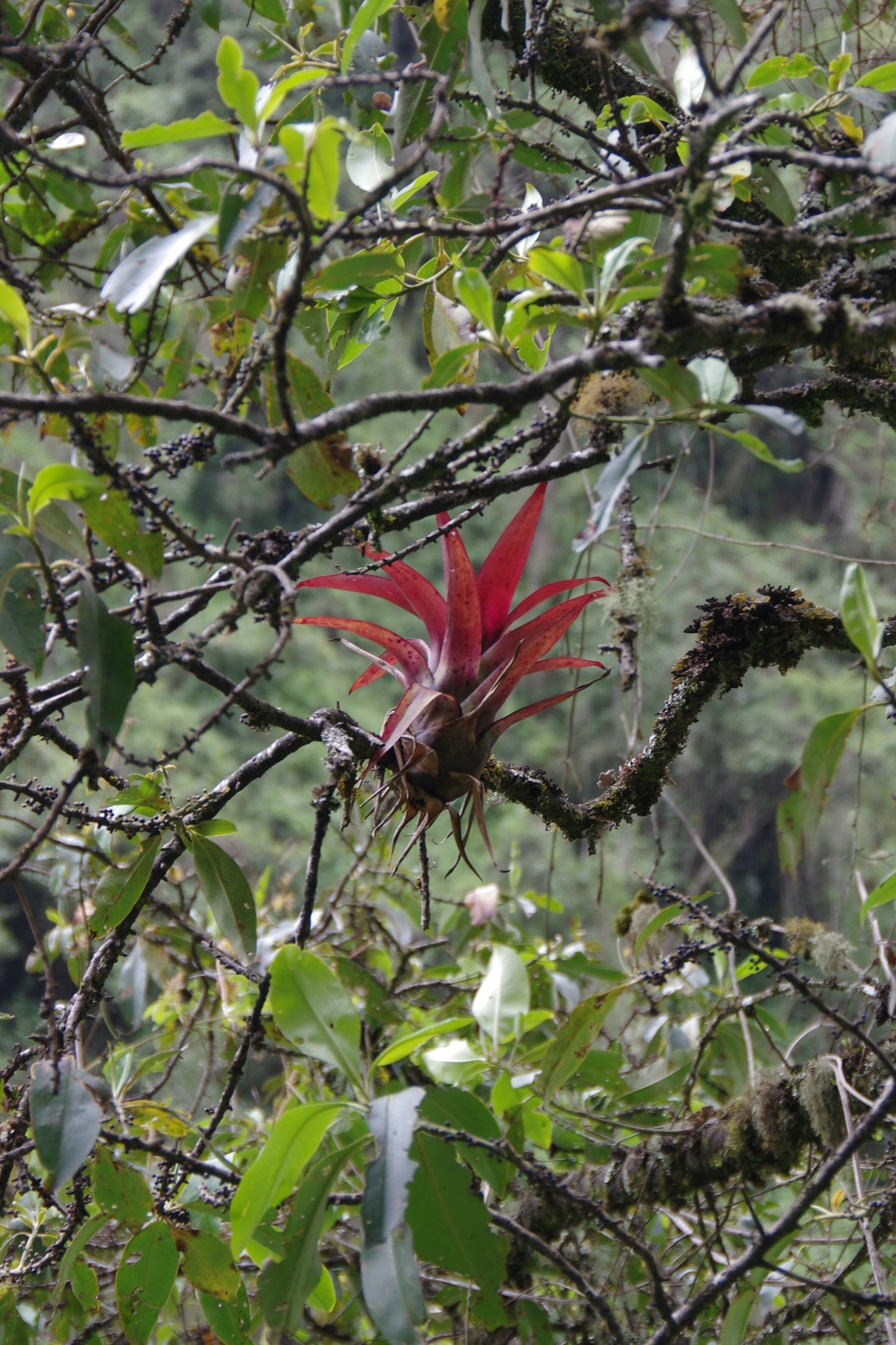
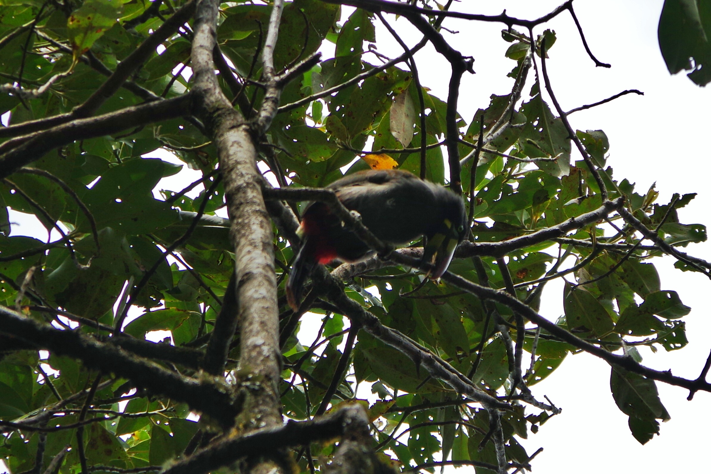
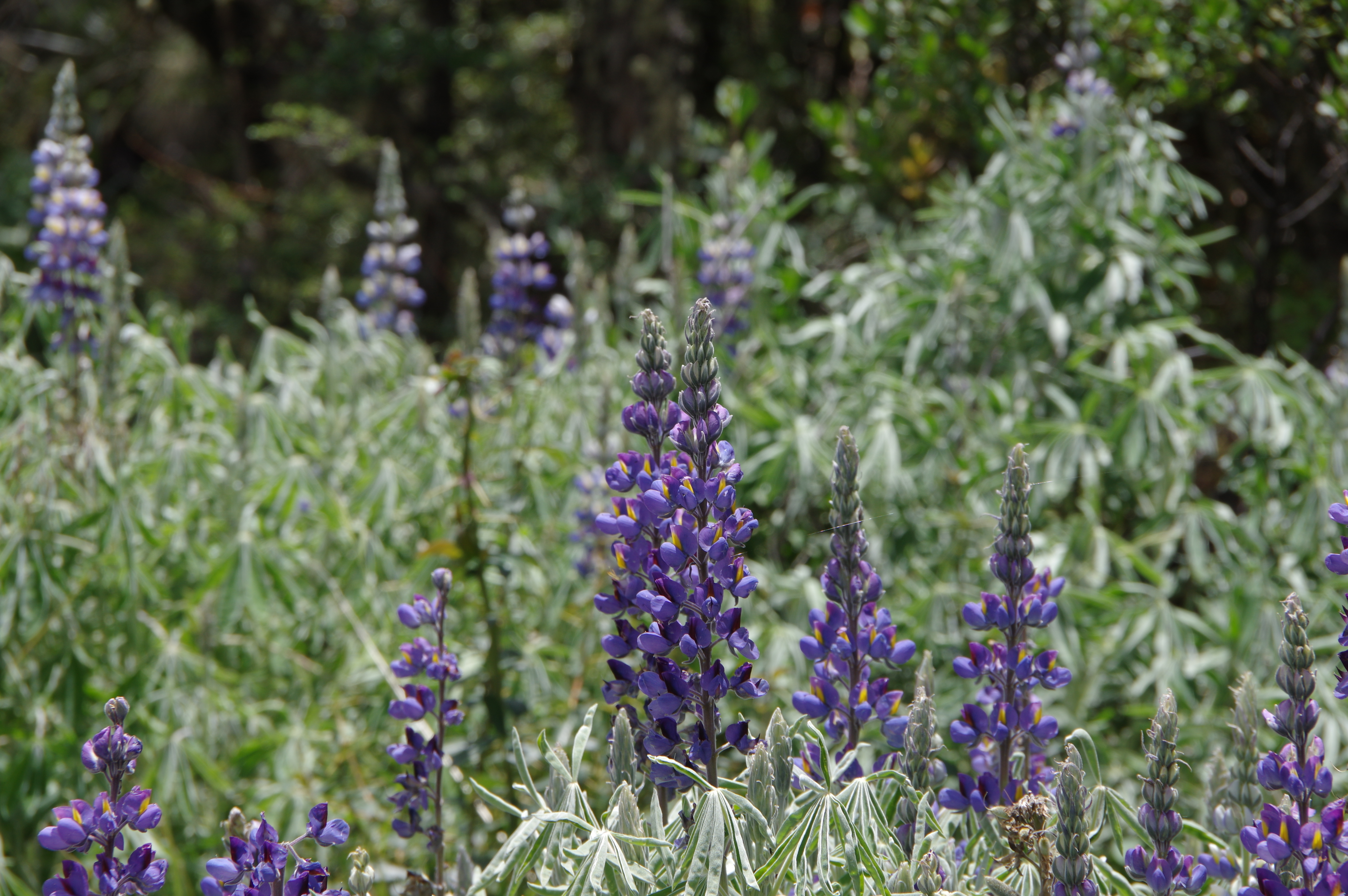
JAN 25, 2016 – When I started walking in the morning it was already 8am. Apparently the tour group got up much earlier because they caught up with me at Salkantay pass, even though they had camped down in Soraypampa. At that point I was really glad to be doing the hike on my own: Two girls in the group were carried up to the pass on horses, and one of them knew nothing better to do than lighting a cigarette once she had arrived. Since this was not quite the company I was looking for, I only took a short break and then started descending at a fast pace. Just after noon I was down in the valley at Chaullay, where the group was likely to spend its second night. I was a bit disappointed when I arrived below Collpapampa and found that the hot springs mentioned in this account from last year were no longer in service. Or maybe closed for the rainy season? Anyway, from there I took the trail along the river towards Playa Sawayaco, which went up and down quite a bit. Flora and fauna were amazing on this stretch; I saw some nice butterflies and even a toucan. There were several campgrounds on the way and I hesitated to stop for the night, but I continued all the way to the village, where I arrived around 5pm after many breaks for photos and snacks.
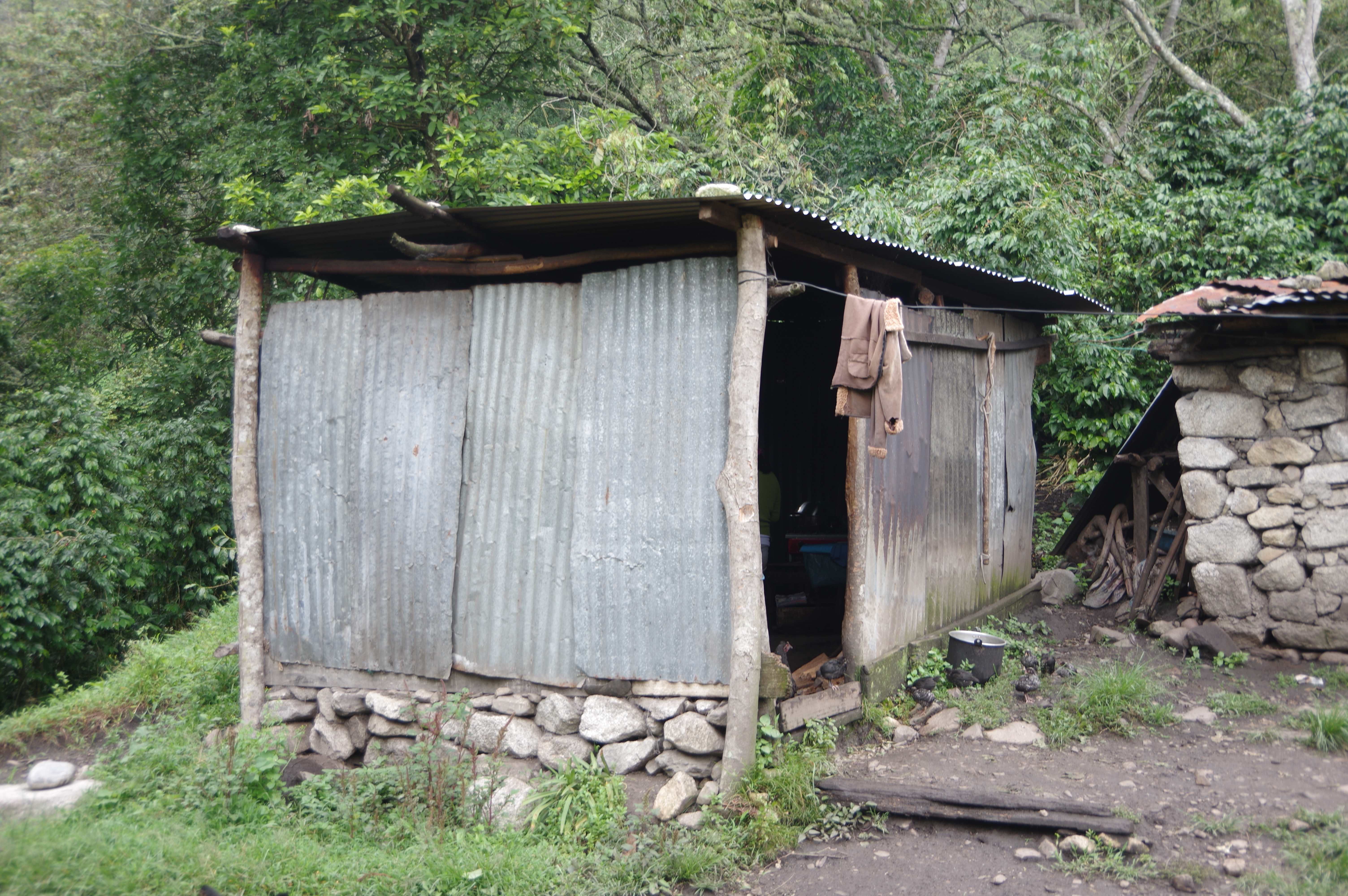
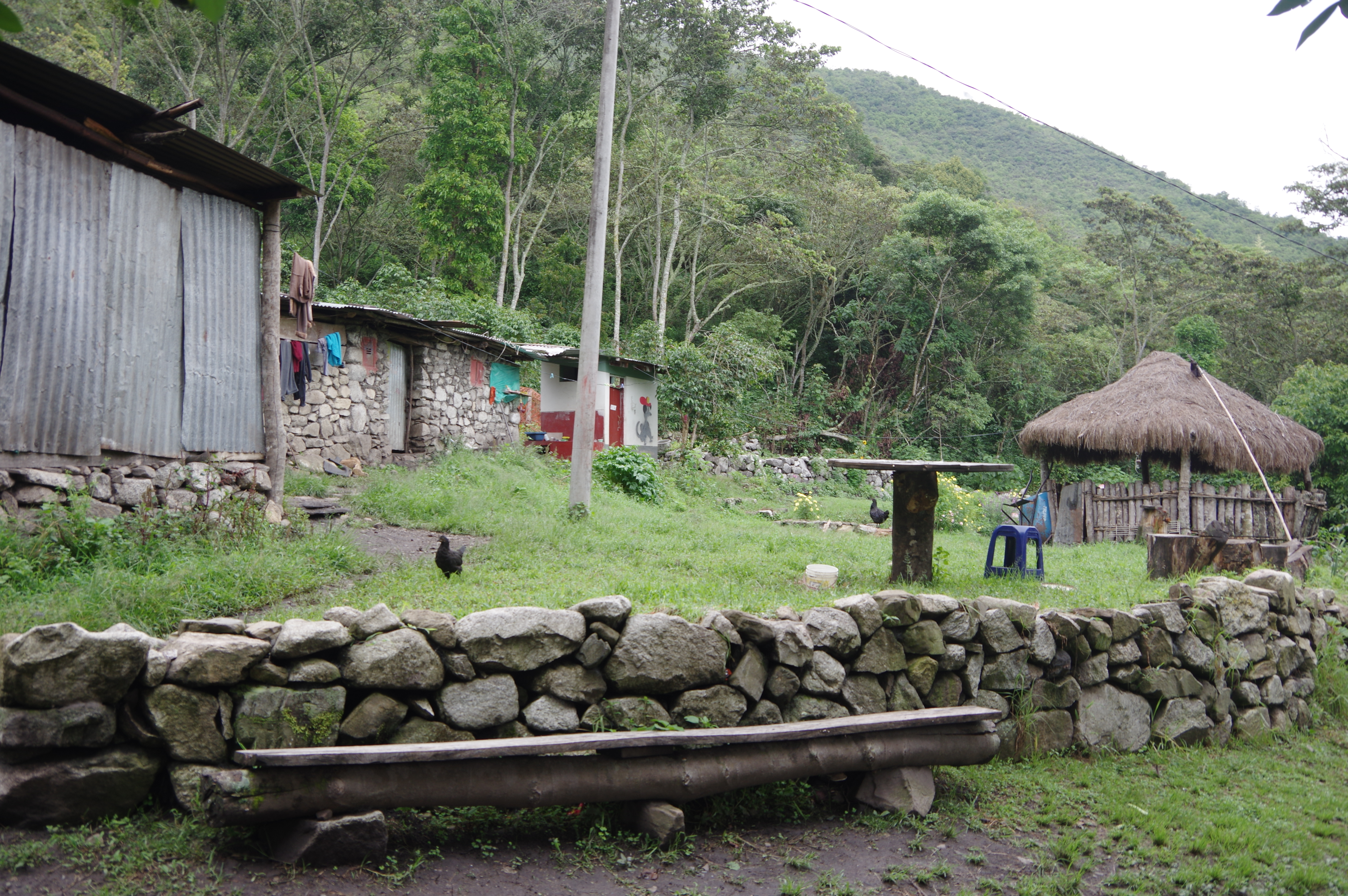
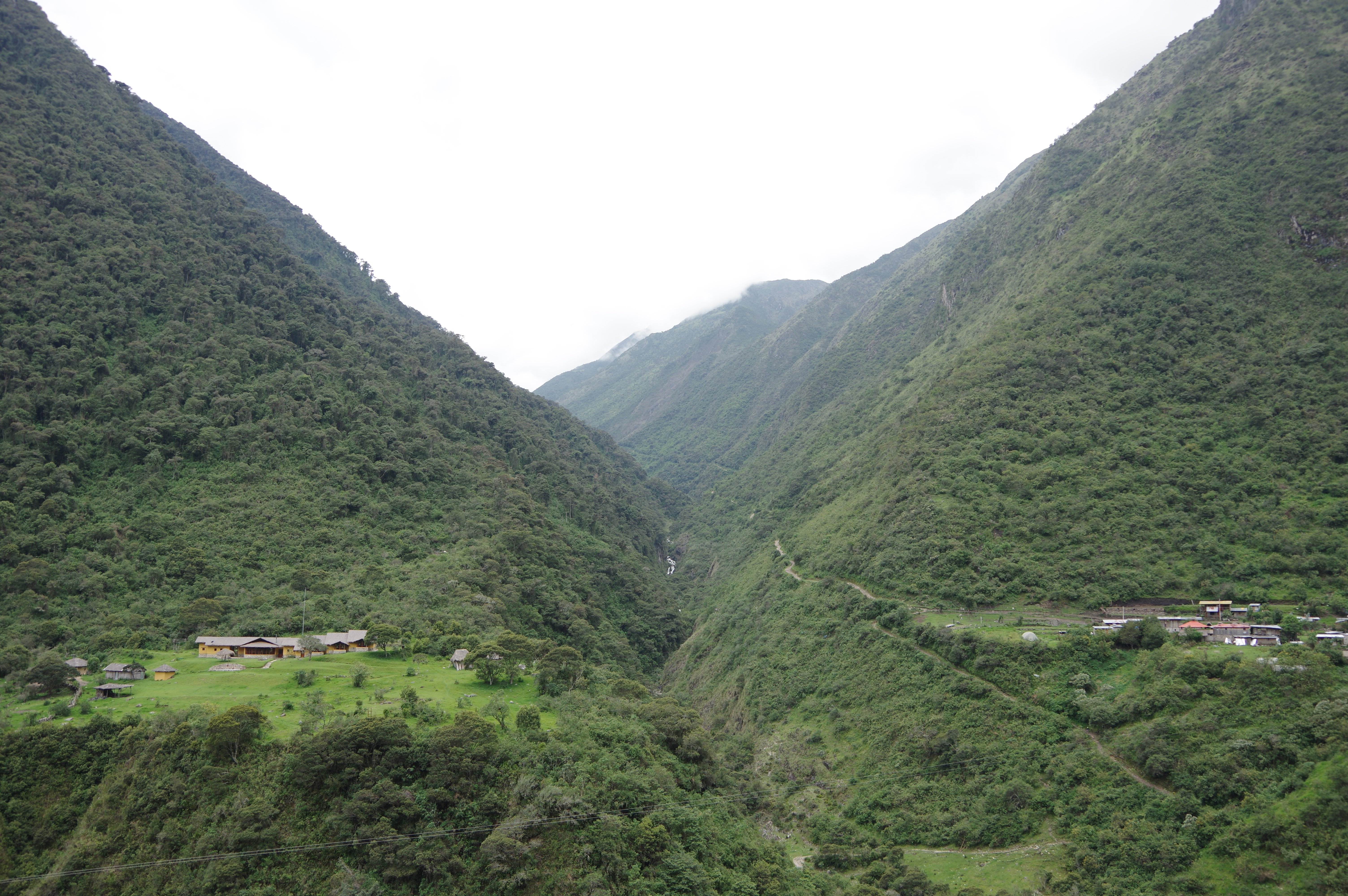
The village is very poor and has apparently been supported by the Canadian government with some infrastructure. Several small tiendas sell food and beverages. I found a free campground in front of a shop just before the bridge over the river, where even a toilet and cold shower was available. Next to it was a ridiculously high building, apparently a simple hotel. The campground owners were very nice and encouraged me to move my tent under a shelter when a thunderstorm was imminent. They also sold me cold beer.
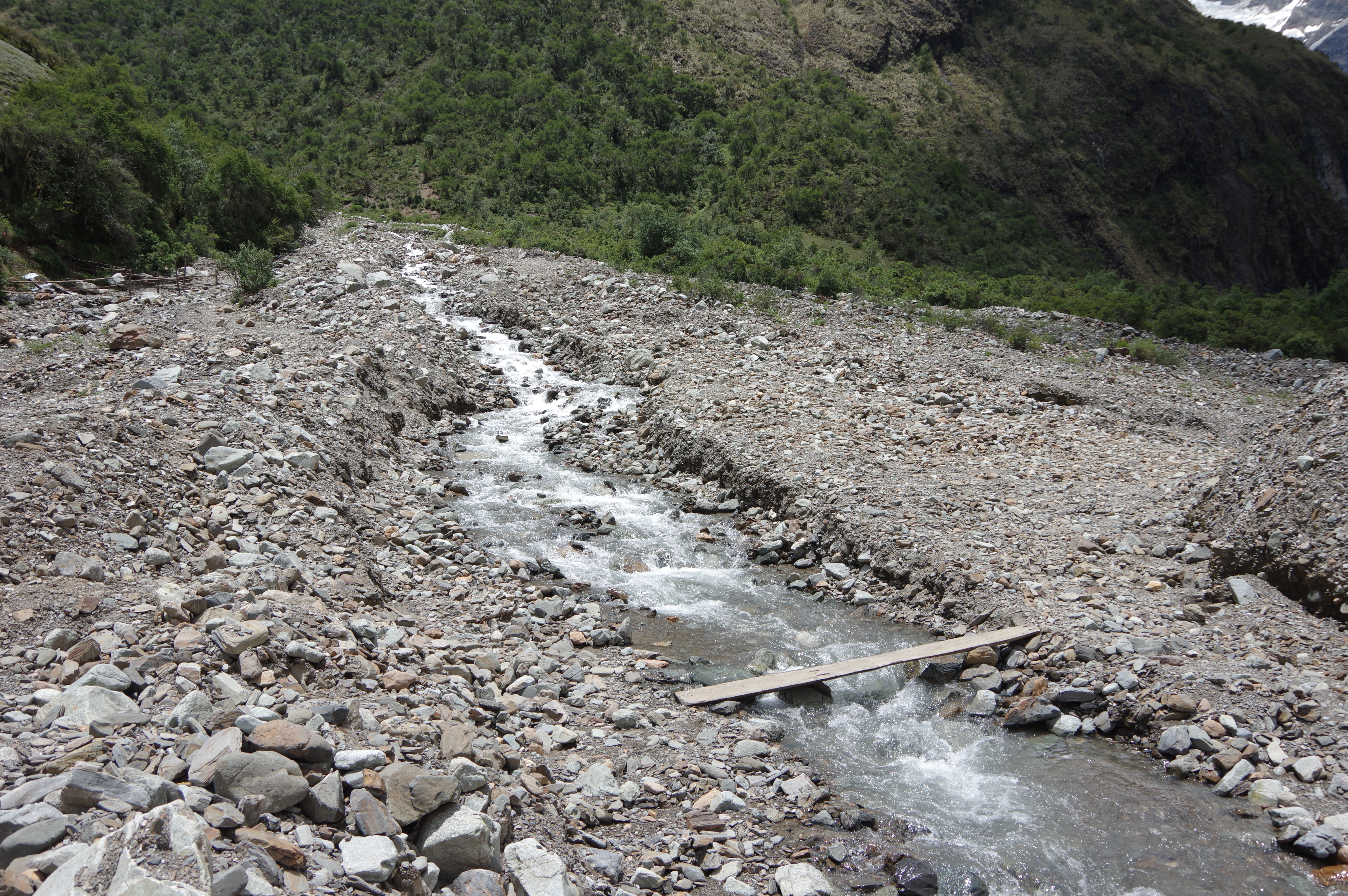
Route: Simply downhill from the pass to Chaullay; the trail gets wider at Wayramachay camp. Do not turn right before Chaullay as that trail goes to a lodge, instead walk through the settlement and down to the river, then uphill again to Collpapampa. From there follow the dirt road until a bridge, where the trail to Playa turns off to the left. Signposts exist only at campgrounds and in villages and aren’t very helpful, but again OpenStreetMap is pretty accurate. Most of the village of Playa Sawayaco is missing on the map, but the campground is indicated correctly. Again it’s enough to carry 2 liters of water, but refill it when necessary as you may walk 1-2 hours without water access.
At the top (Salkantay Pass)
View down towards Wayramachay
Bridge below ChaullayLook back up the valleyEmpty Hot Springs
This is the only proof I have for having seen a toucan (edited)
Not much business being done hereVillage of Playa SawayacoThey’ve got you covered
Campsite after second dayHotel dominating the village’s skyline
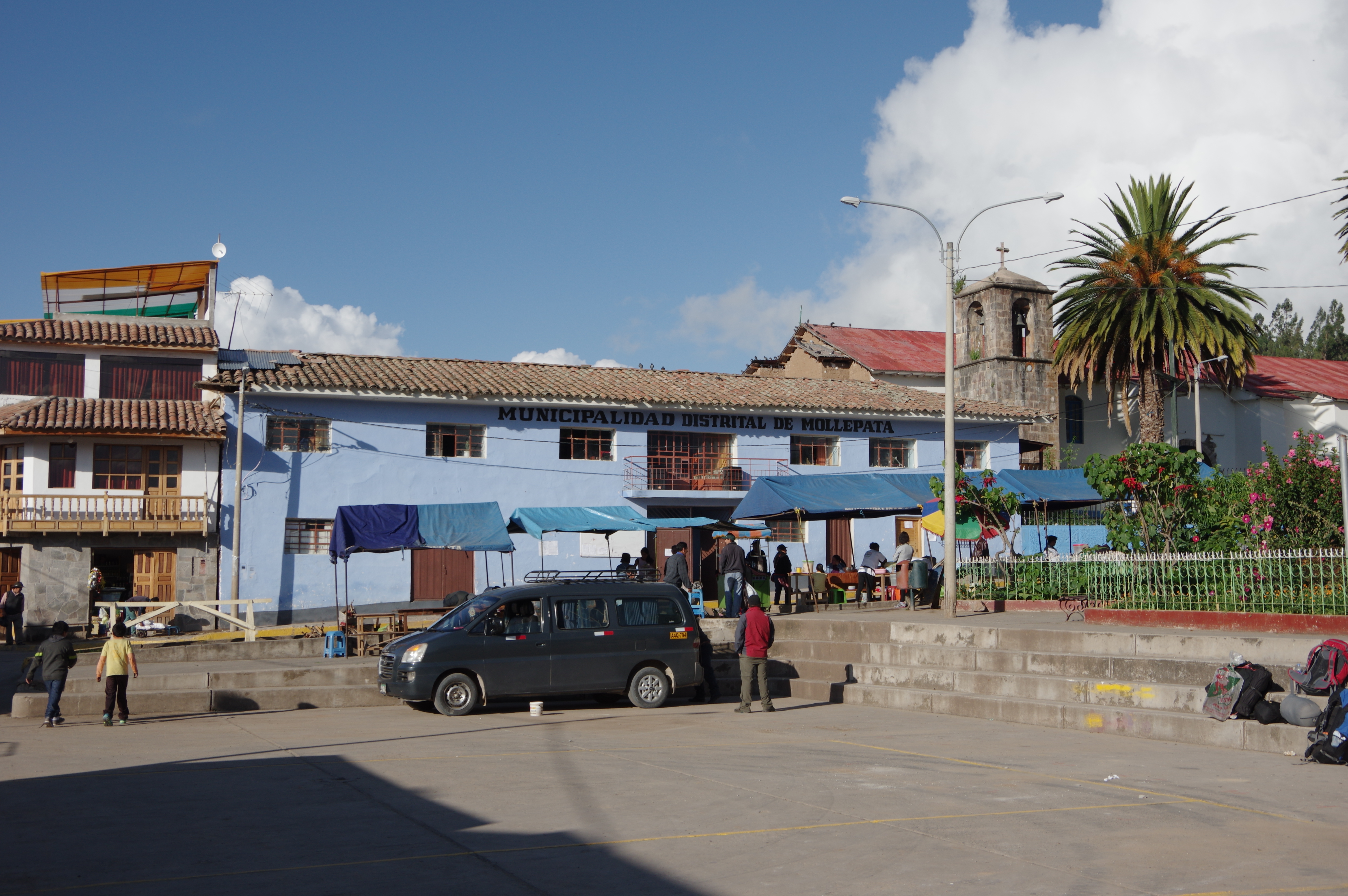
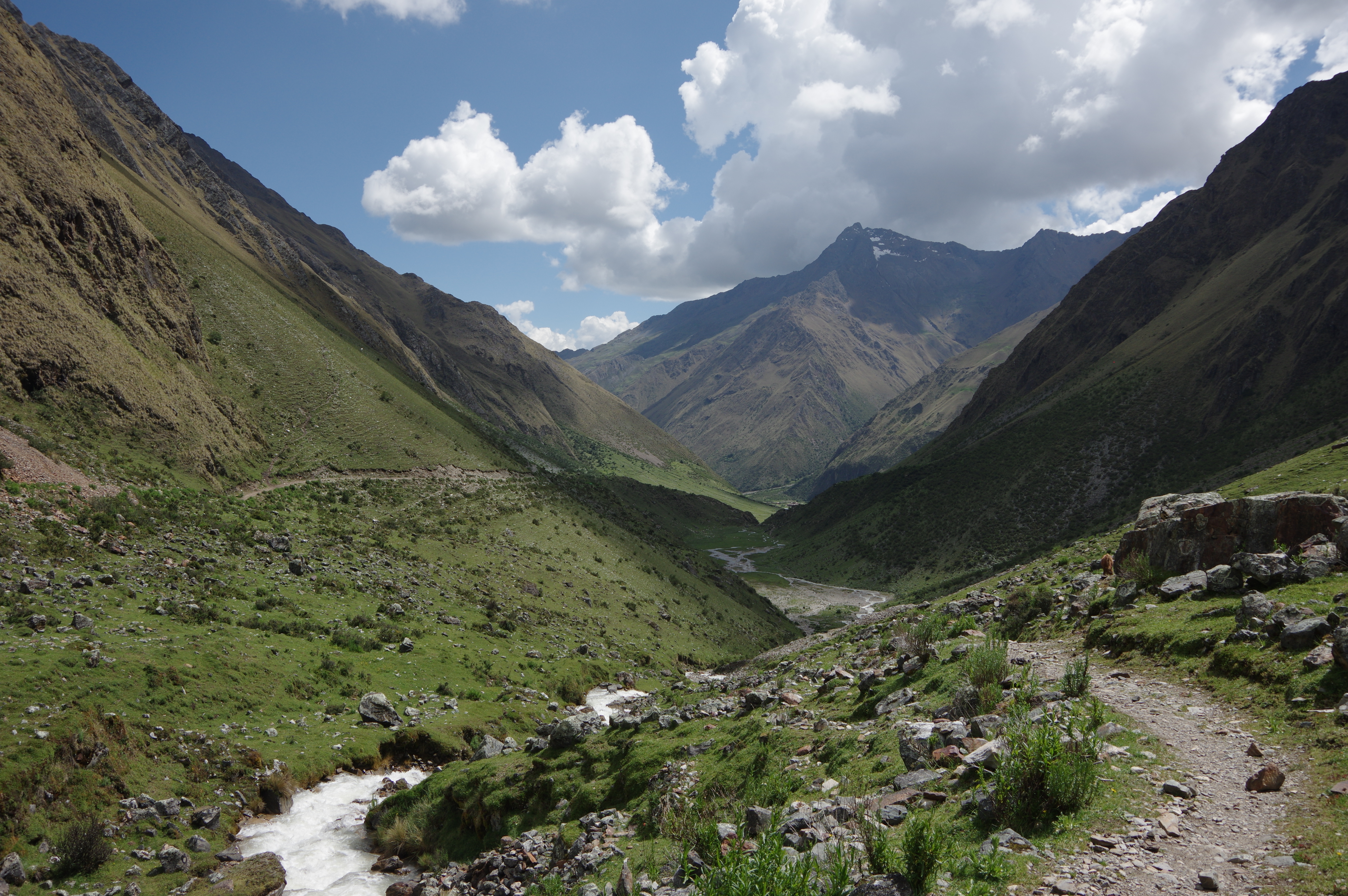
JAN 24, 2016 – I set out on what is called the Salkantay Trek, a common way of getting to Machu Picchu on foot without using the inca trail, on which a guide is mandatory. This trek starts in the village of Mollepata, two hours and a half from Cusco. Most group tours do it in four days (plus one day to visit Machu Picchu), so I planned on using “up to four days” for it while choosing a slightly longer variant (via Llactapata).
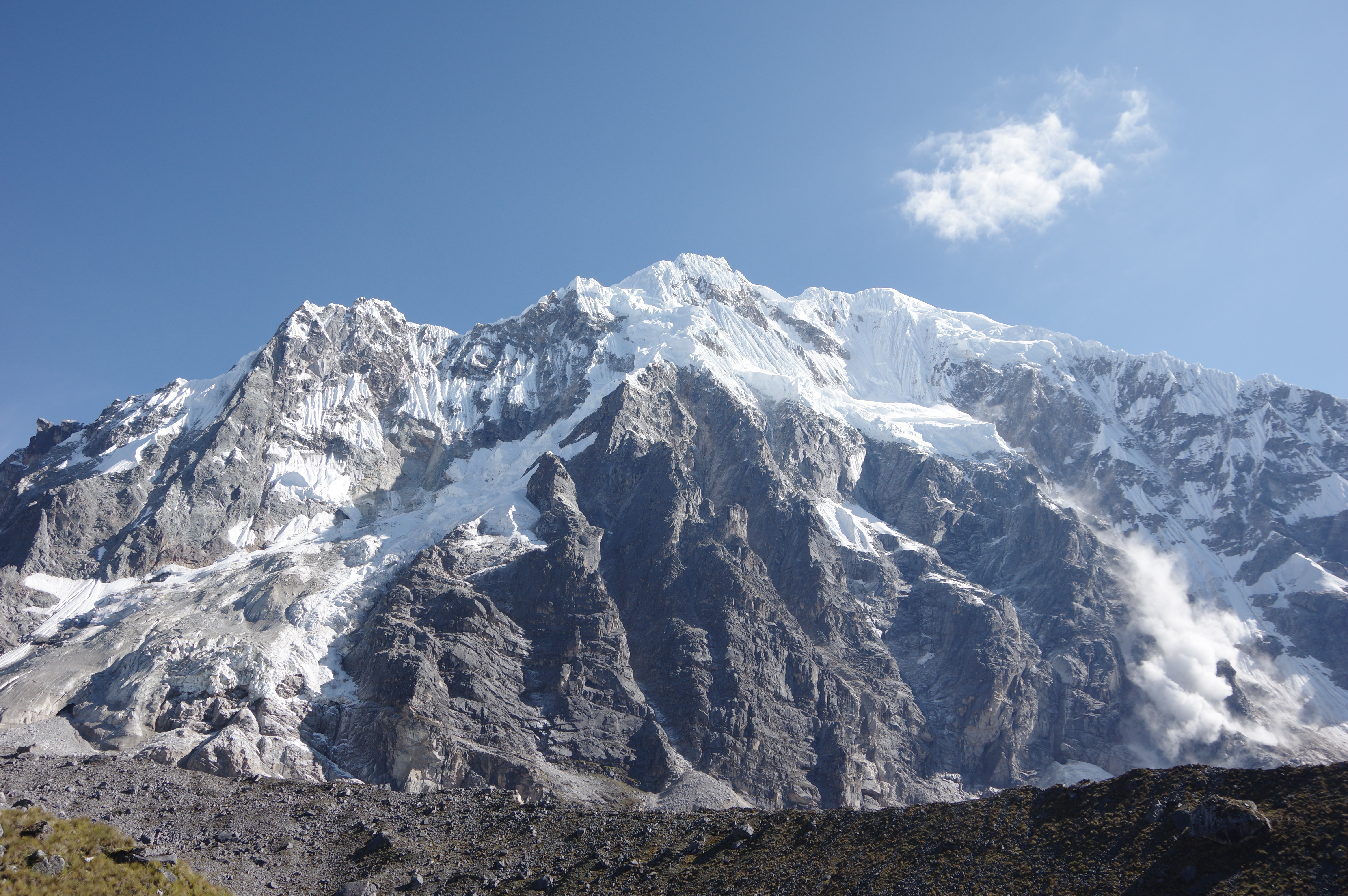
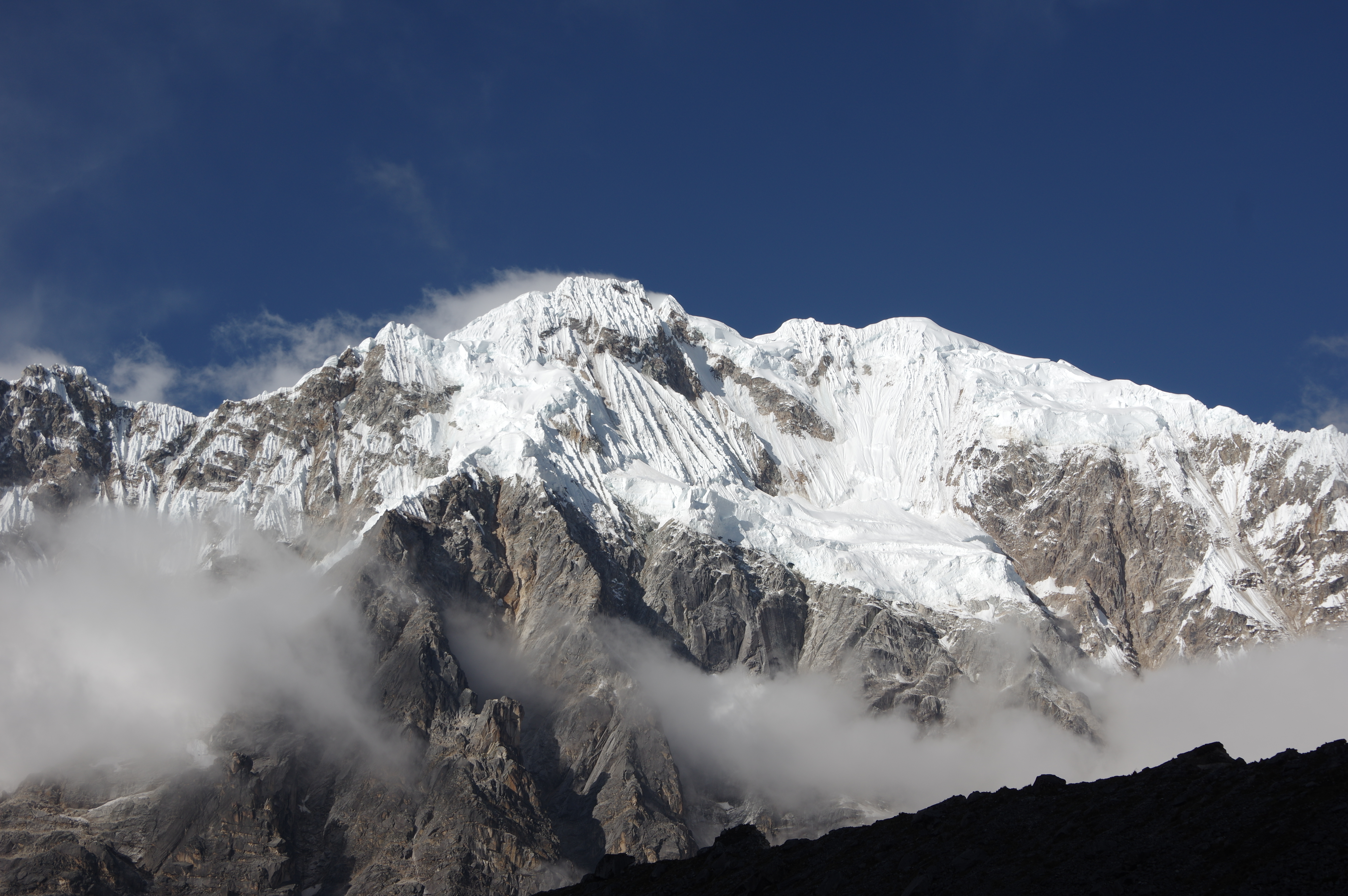
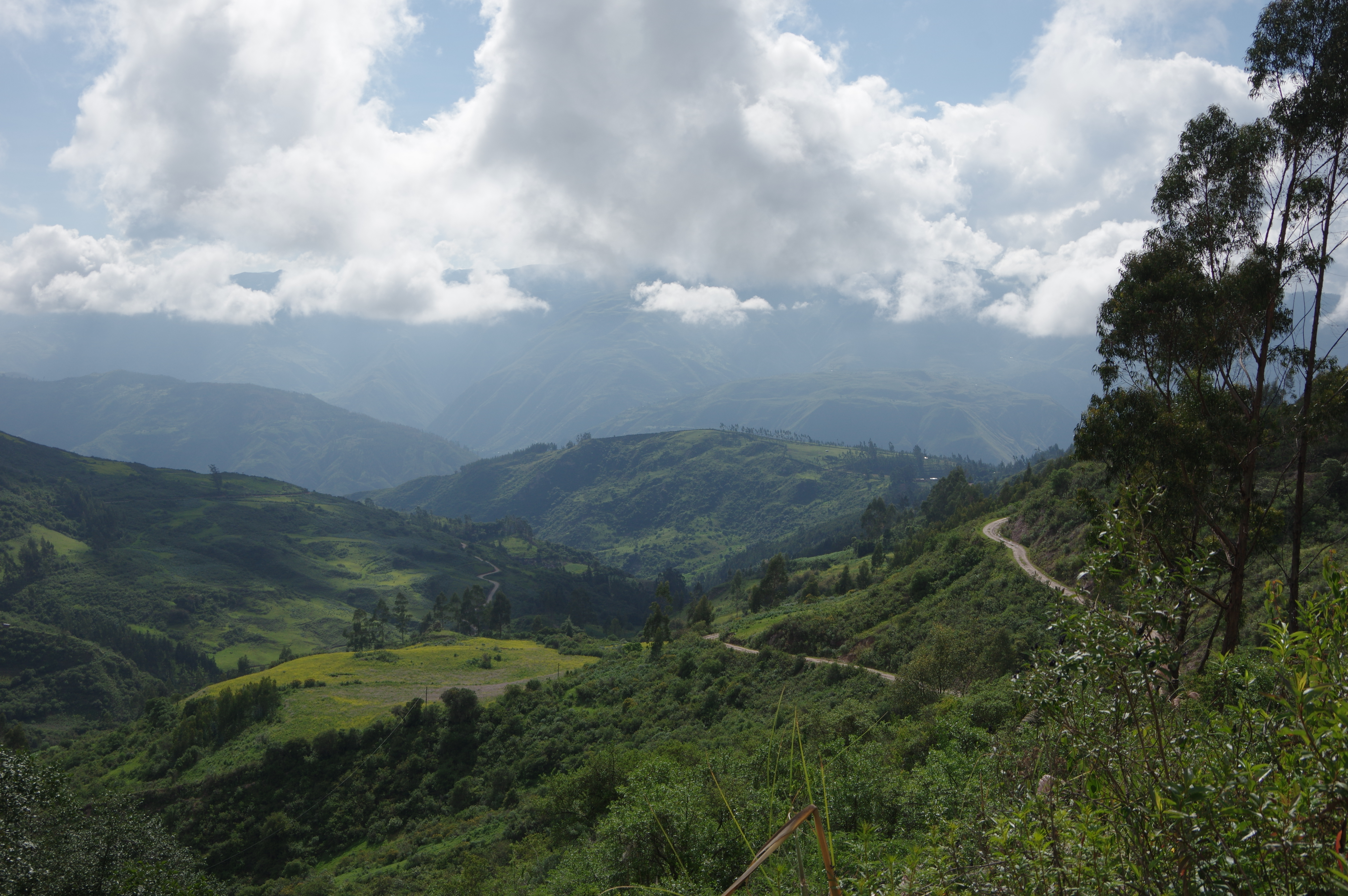
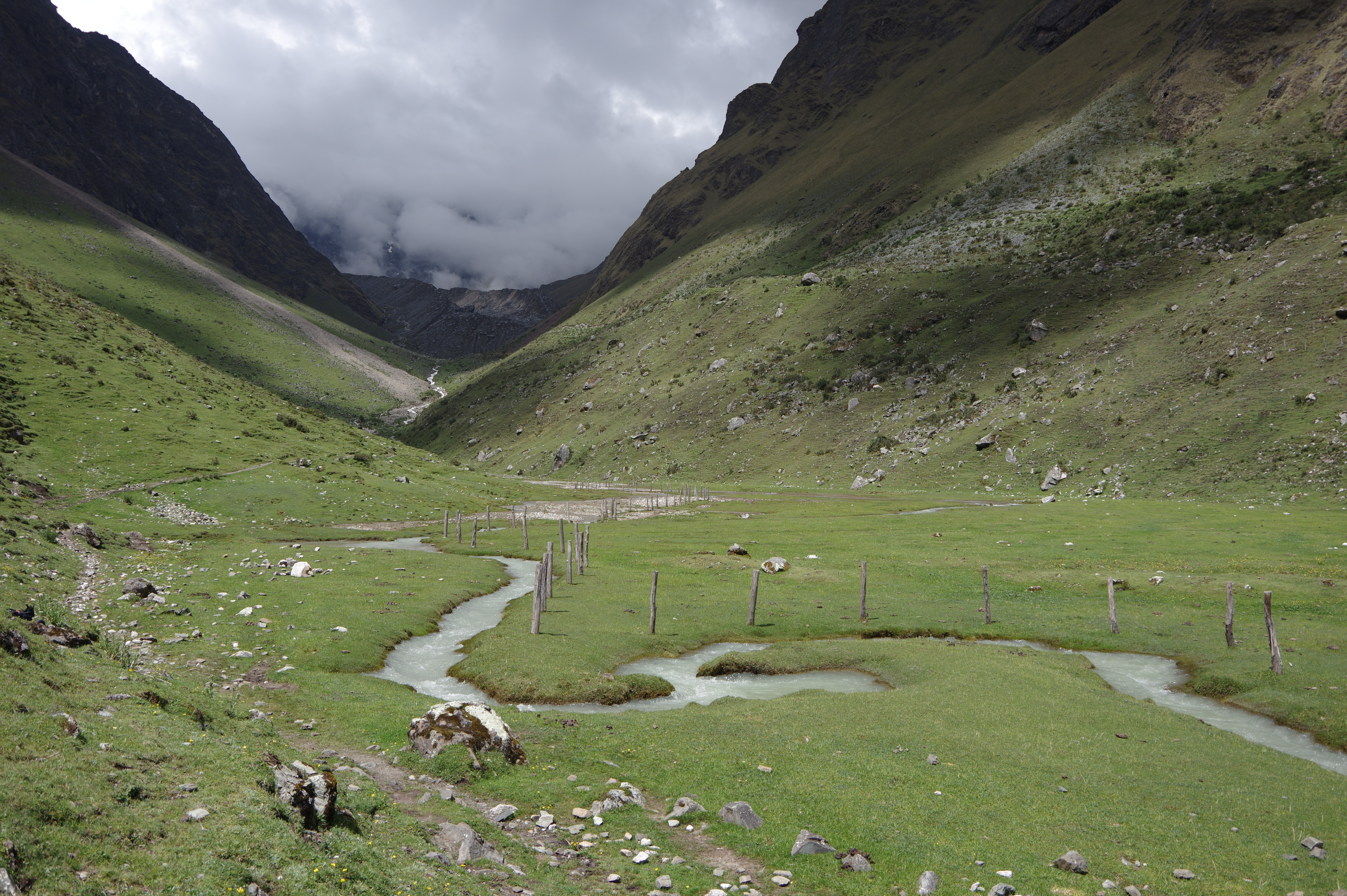
My van picked me up in the city center at 4:30am. I had booked the bus ride to Mollepata with a tour agency for 35 soles. By 7am I was on Mollepata’s main square, and half an hour later I was walking towards Soraypampa. The tour group I had travelled with took longer to prepare because they had to organize their baggage and load the horses first. The trail was easy to find thanks to blue signposts, installed just a few years ago. After a steep first part, I arrived at a creek which I followed to Soraypampa with almost no further climb. I had my lunch break and continued up to Salkantaypampa, about an hour further. The campsite there was so beautiful that I hesitated before going on, but then I decided to at least go have a look at the next one. By 3:30pm, I was in Suyroqocha, where I spent the night. The campsite at 4480m was nice too, with the exception of the toilets, which were out of order. Once the fog lifted, I could see the nearby glacier, whose noises of crashing ice blocks I had heard through the fog, and the majestic Nevado Salkantay.
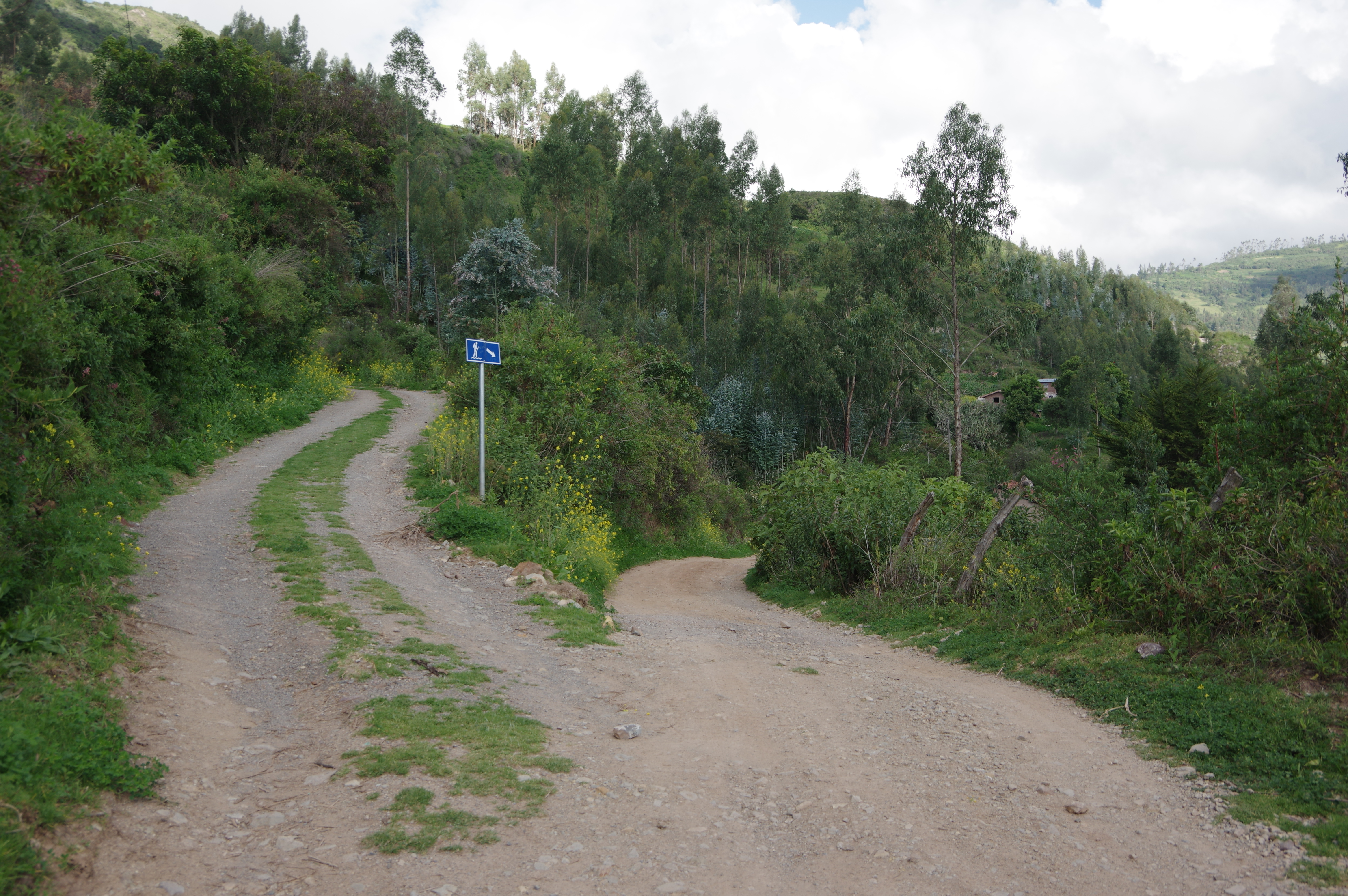
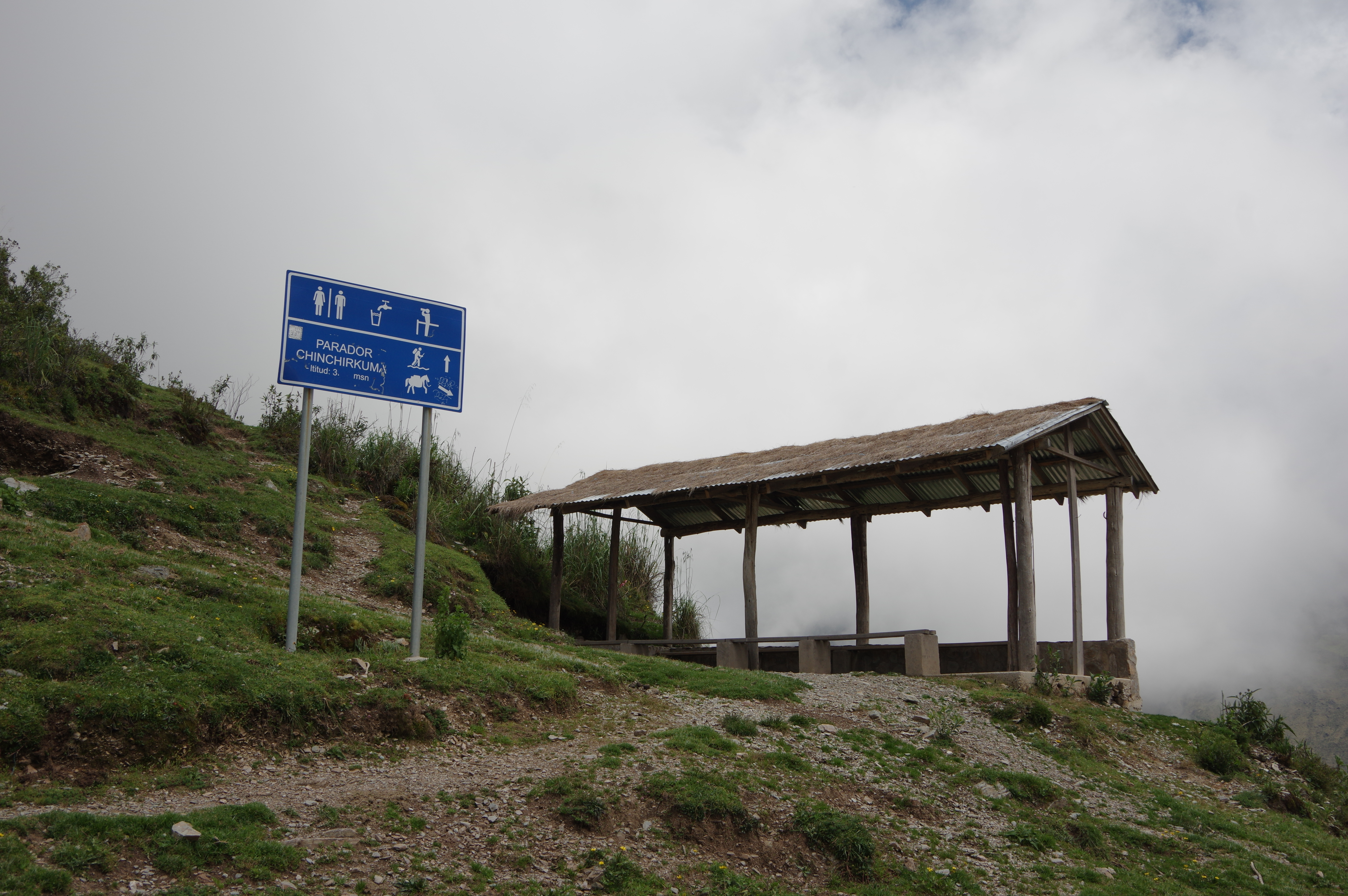
Route: Easy to find using the signposts, which start about 200m from the main square of Mollepata. There is a long stretch without signposts after the first “parador”, but the trail is clearly visible. Then an “alternative route” is indicated to the right, which I didn’t follow. At the second “parador”, go uphill towards the creek, then follow it for the rest of the way to Soraypampa. I had a hard time finding a river crossing, but there was one about 200 meters upstream from the village. From there on, signposts are sparse, but the trail is still well maintained and very well documented on OpenStreetMap: From the campground, continue on the trail up the valley on the right, following a creek. At Salkantaypampa, climb steeper uphill towards the left side of the valley to arrive at Suyroqocha. Water nearby for most of the way and at all campgrounds; do not carry more than 2 liters. I did not notice any grocery stores after Mollepata, there may be a kiosk or two but they were closed. Guesthouses are available in Soraypampa though.
Main square of Mollepata
Second rest area (parador)Following the creek
Soraypampa campground
View from SalkantaypampaDone for the daySometimes the signs don’t agree on the elevation
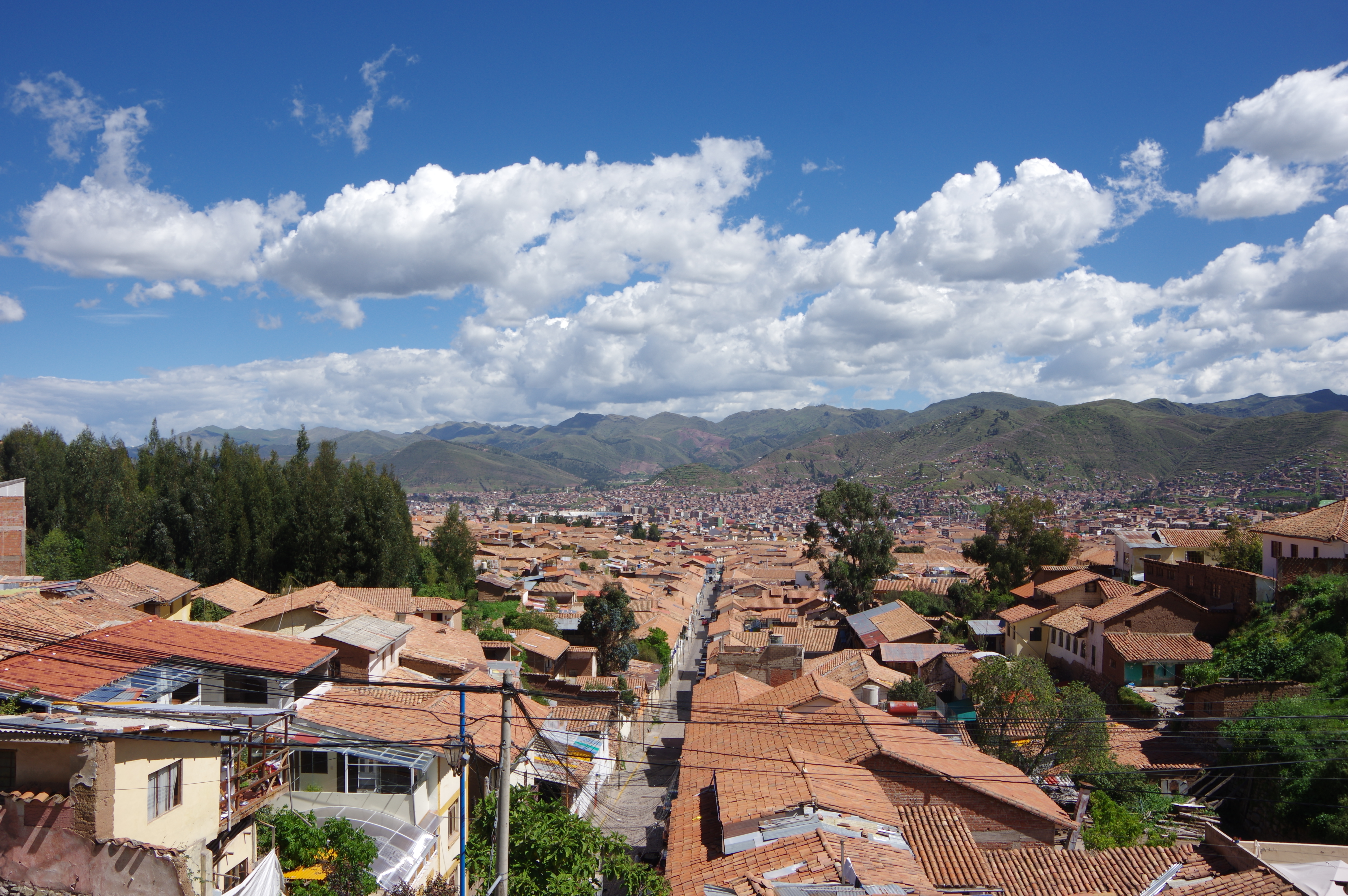
JAN 23, 2016 – In a day and a half, I visited the center of Cusco with a walking tour and prepared my solo trek to Machu Picchu. Besides buying supplies, I had to rent a sleeping bag, book the entrance to the old city, and buy a train ticket back. I stayed at the Supertramp hostel, which had recently opened and is perhaps the most well-built hostel I have seen. Each dorm bed has a large locker next to it, a curtain for extra privacy, and power outlets inside and outside the locker. From the terrace one has a great view over the rooftops of Cusco. The staff of the hostel was very helpful in planning my hike, and I left a part of my luggage there until I came back.
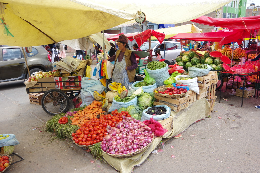
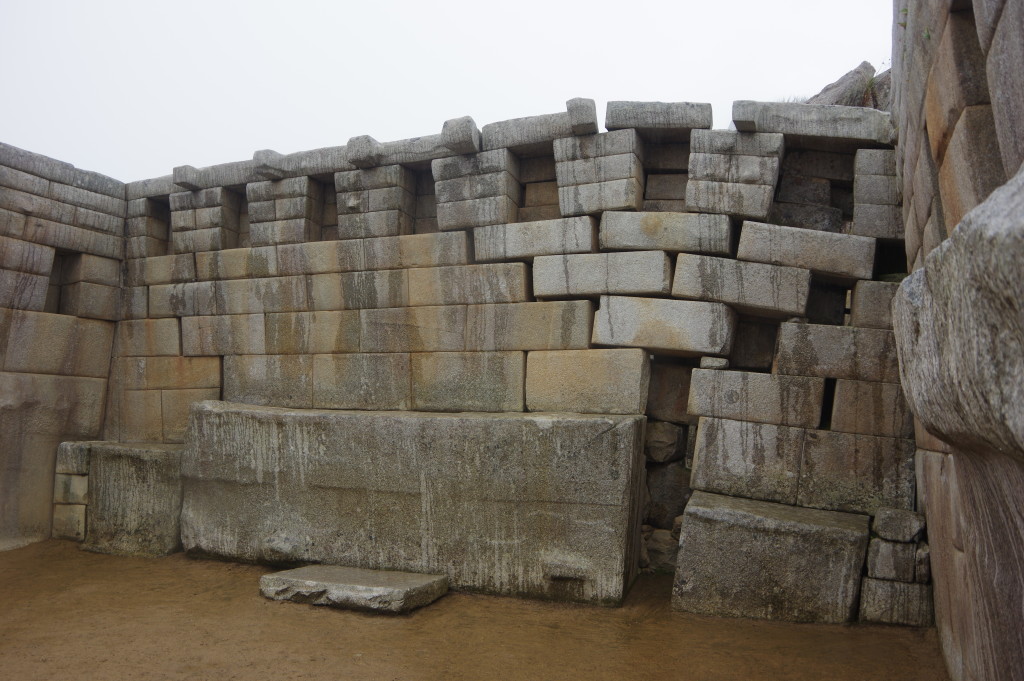
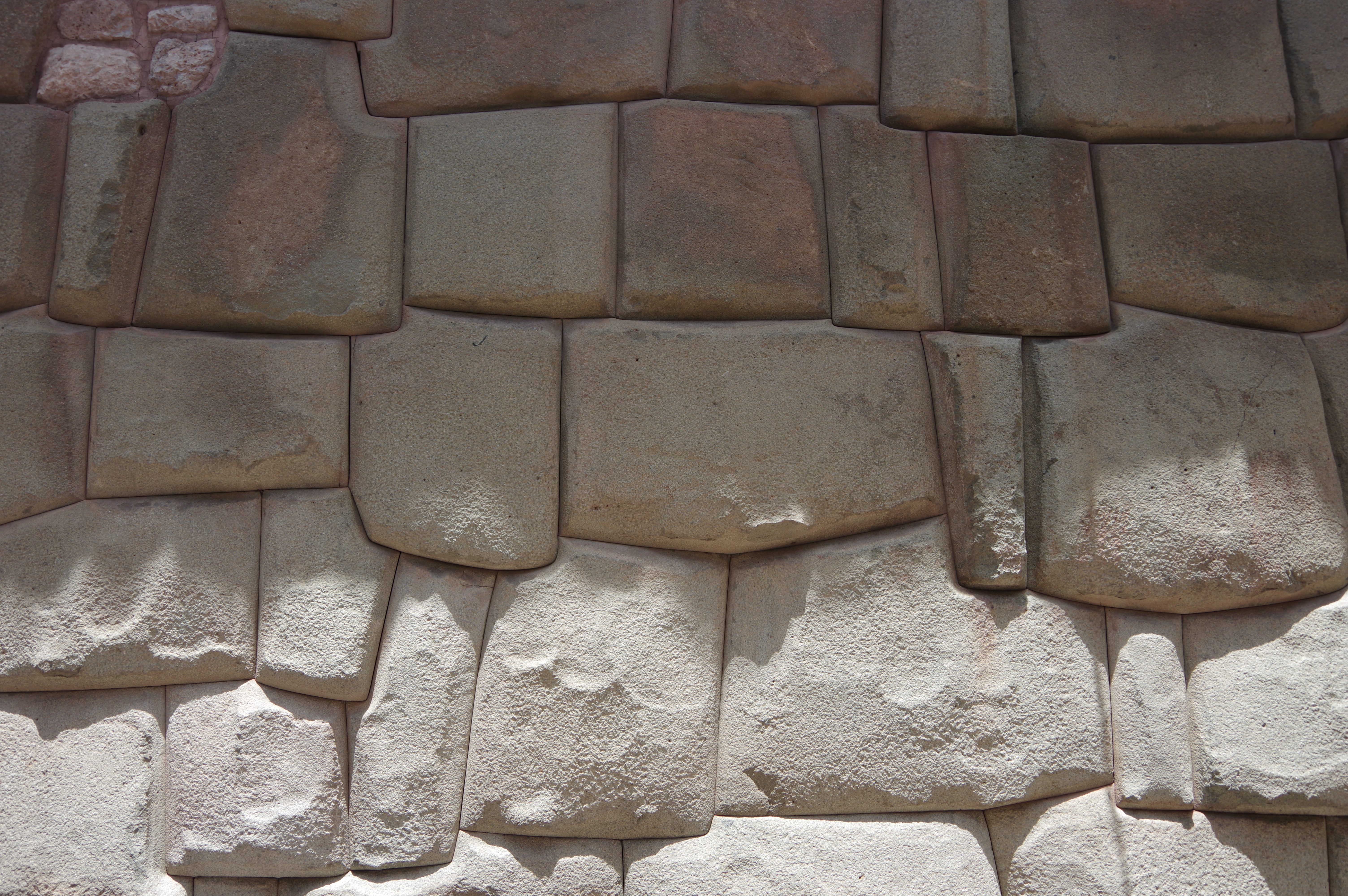
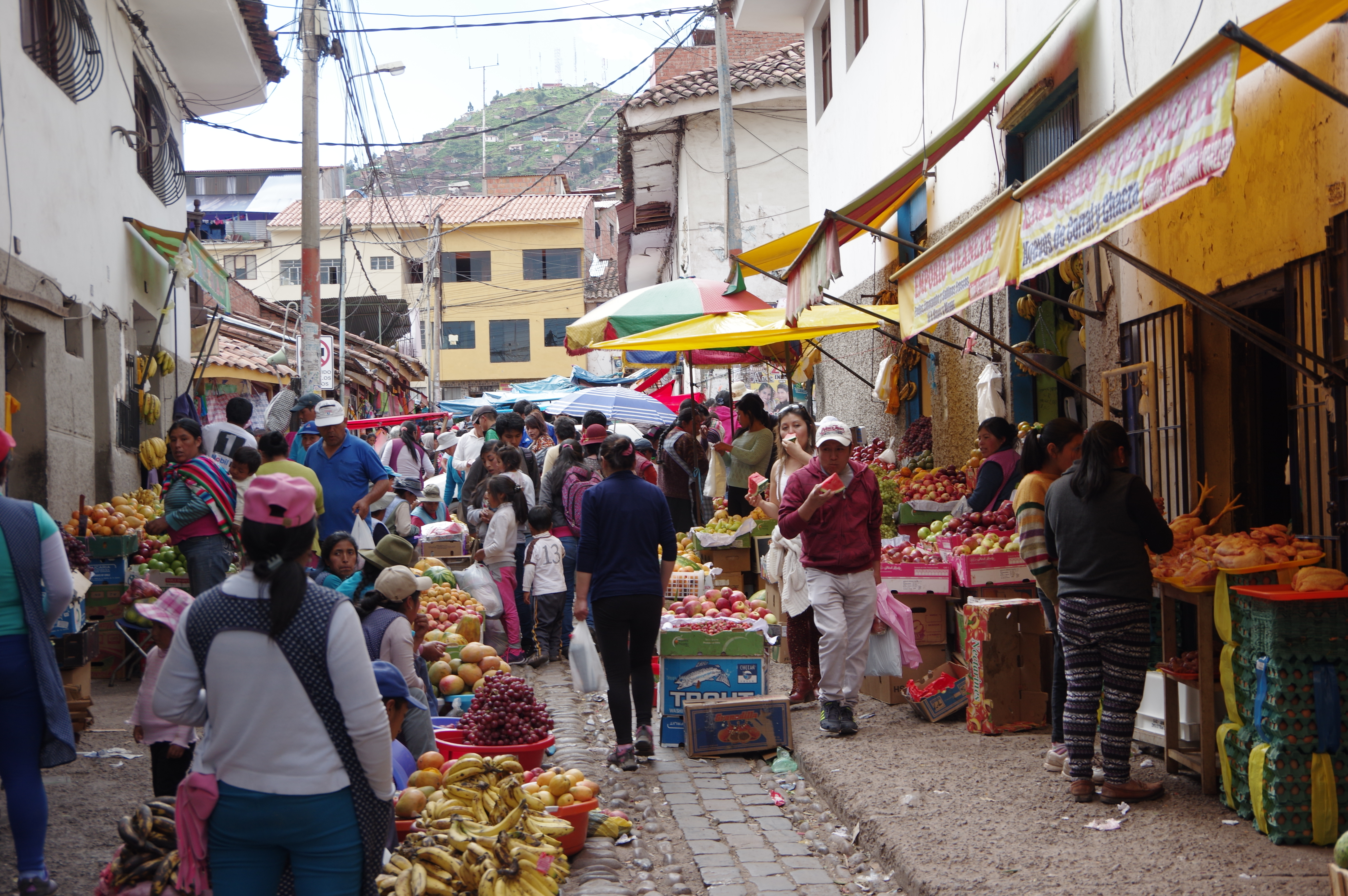
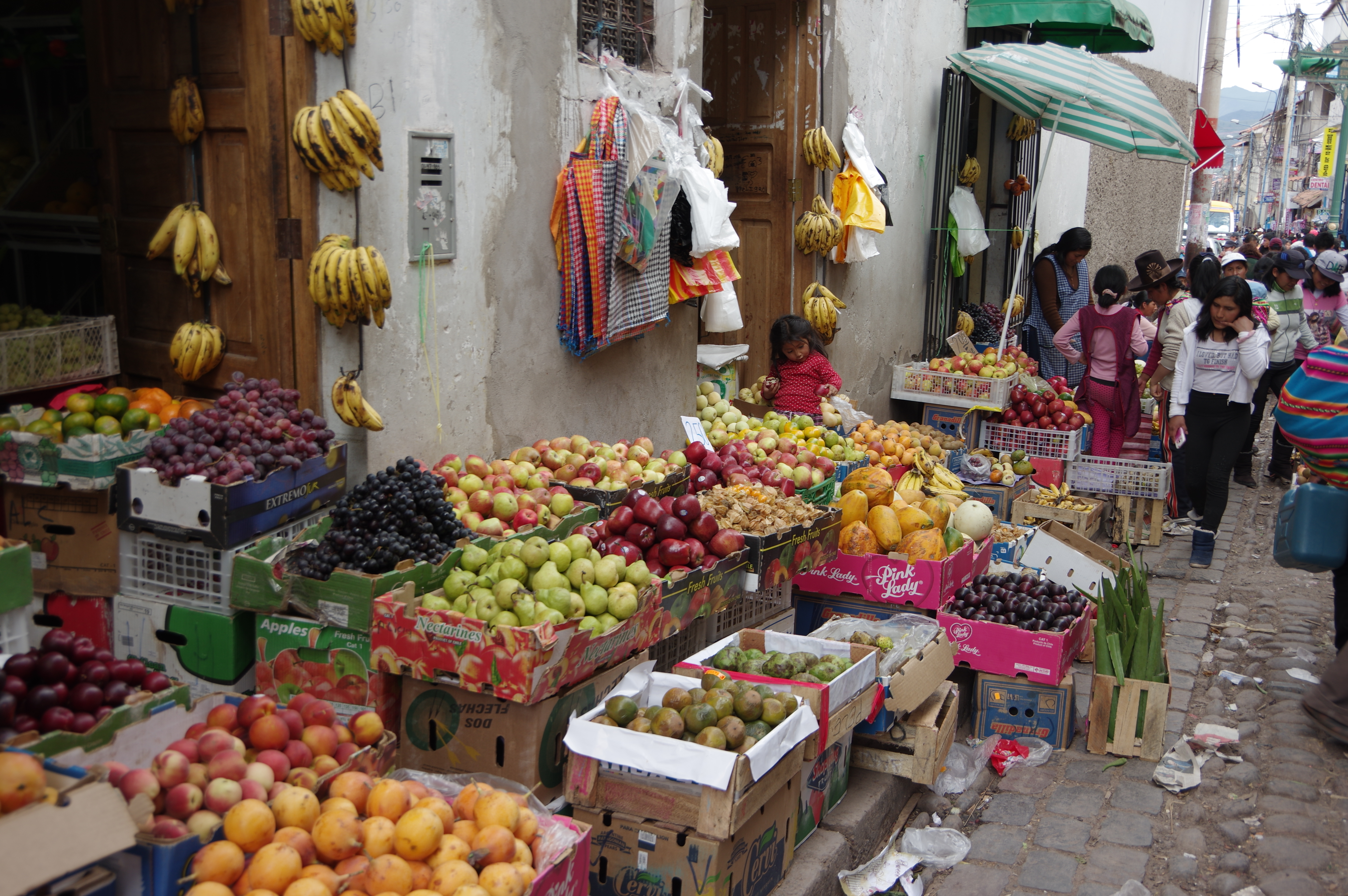
The city has an Inca heritage, which can be seen on many buildings: Some walls are preserved the way they were built, out of large carved stone blocks, fitting so well together that no mortar was required. But most Inca buildings were at least partially destroyed by the Spanish when they conquered what used to be the capital of the Inca empire. Nowadays Cusco has more than 300’000 inhabitants, and if you walk a few blocks from the center, it quickly stops feeling like a touristy city. The streets near the central market, for example, are busy with locals selling fruit to each other, rather than ones trying to sell massages (best price, amigo), to every gringo. Cusco is full of contrasts that way, between rich and poor, colonial and Incan, fake and authentic. Its setting between hills is beautiful, and an hour-long run is enough to get on top of them, where farmers are working on their fields.
View from the hostel terrace
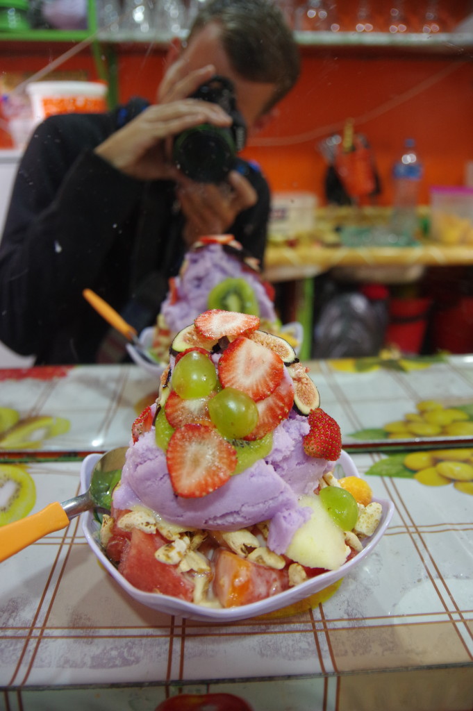
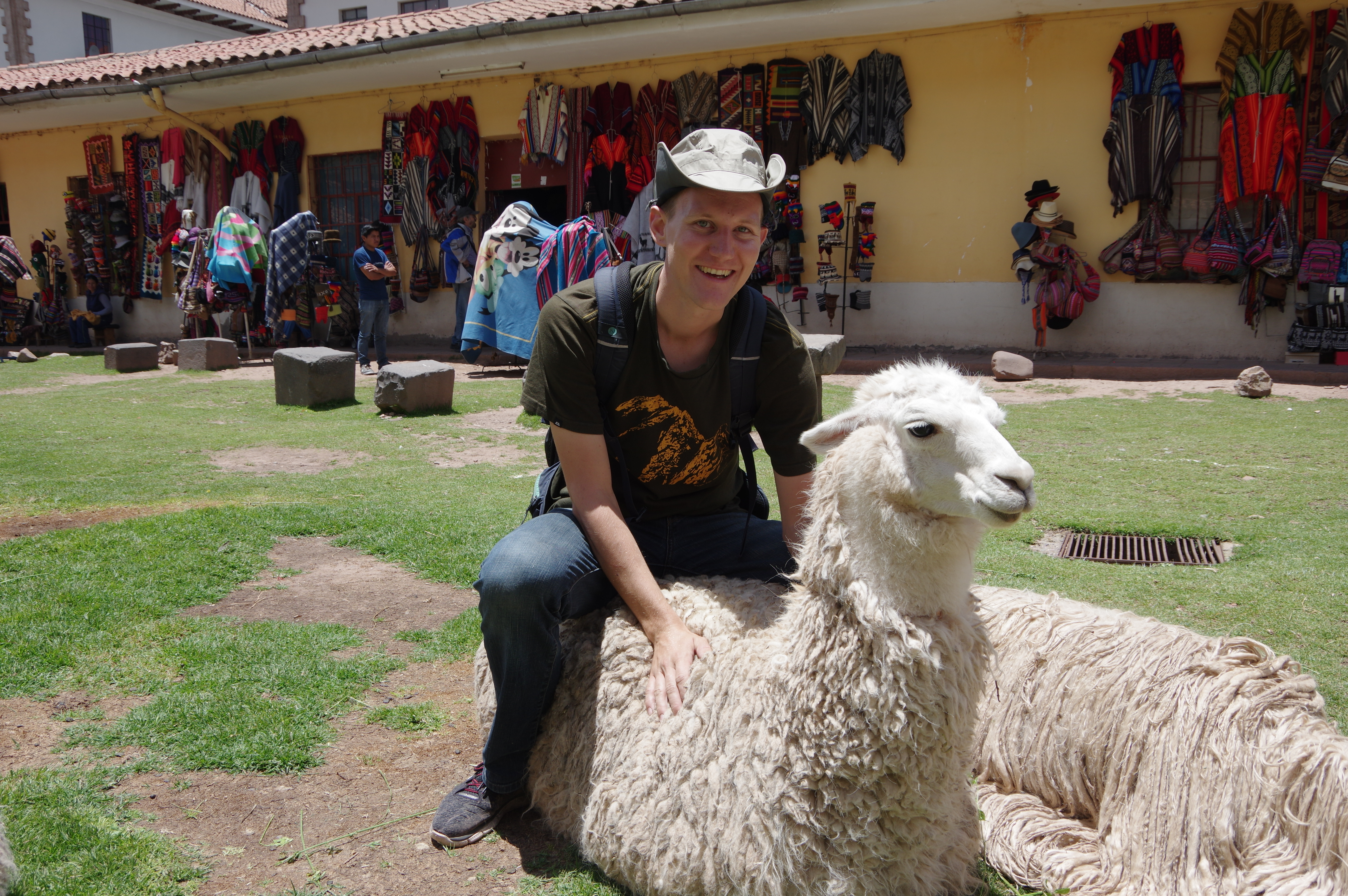
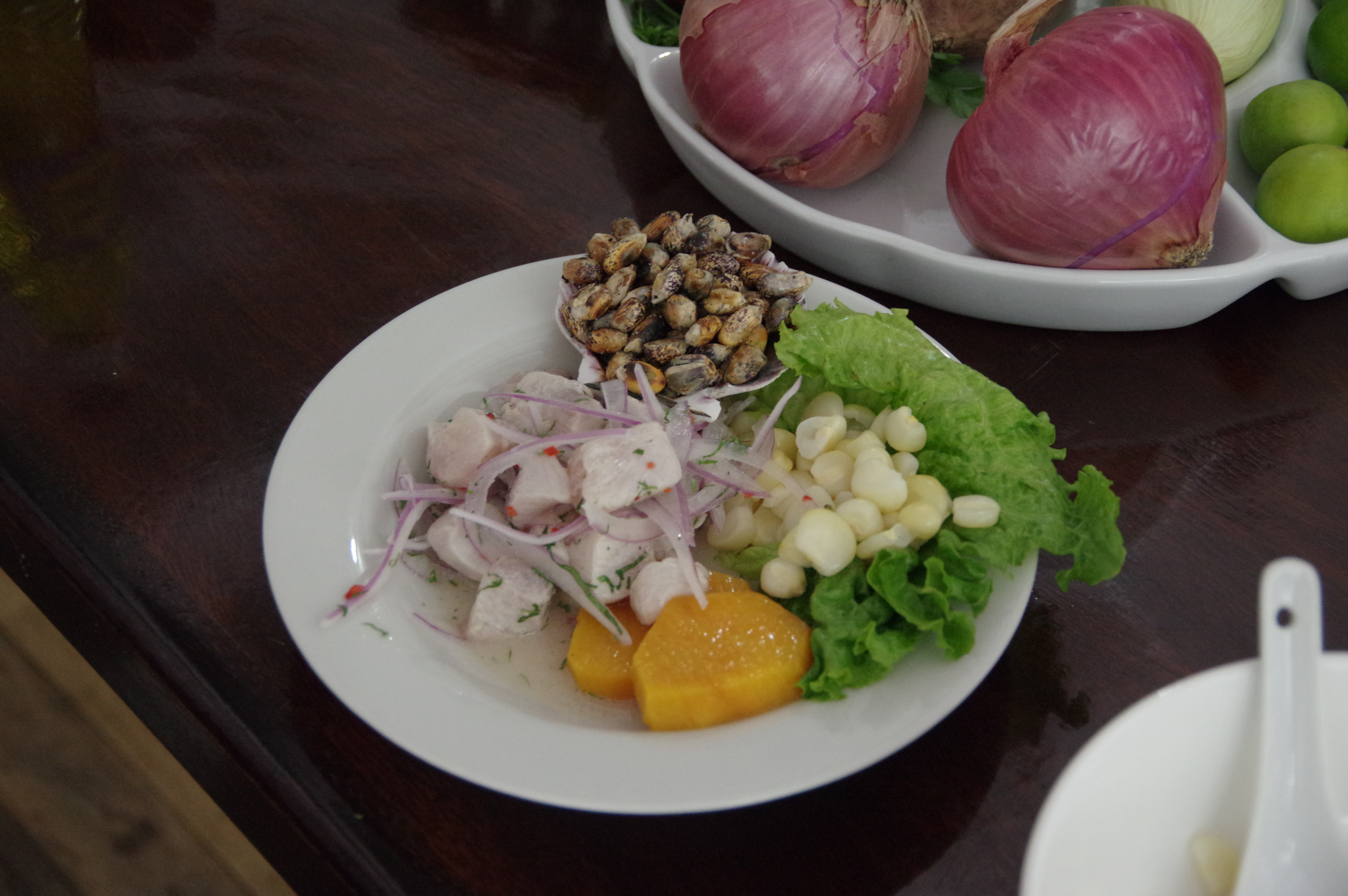
Mandatory tourist picture 😉Ceviche, a Peruvian dish with raw fish “cooked” in lime juiceThe incas had advanced drainage systems in their cities – some are still in use in CuscoInca mortar-free wall