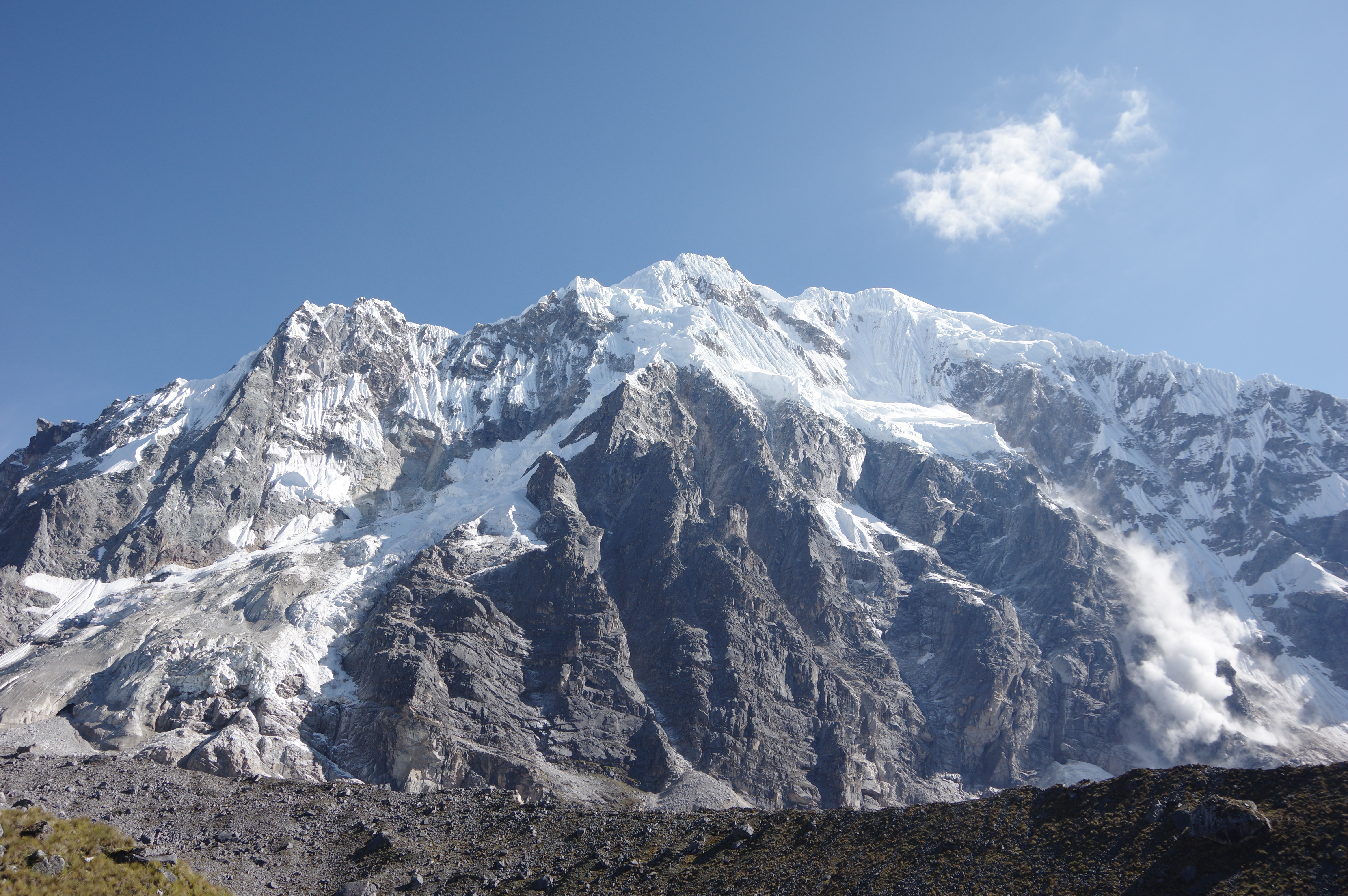
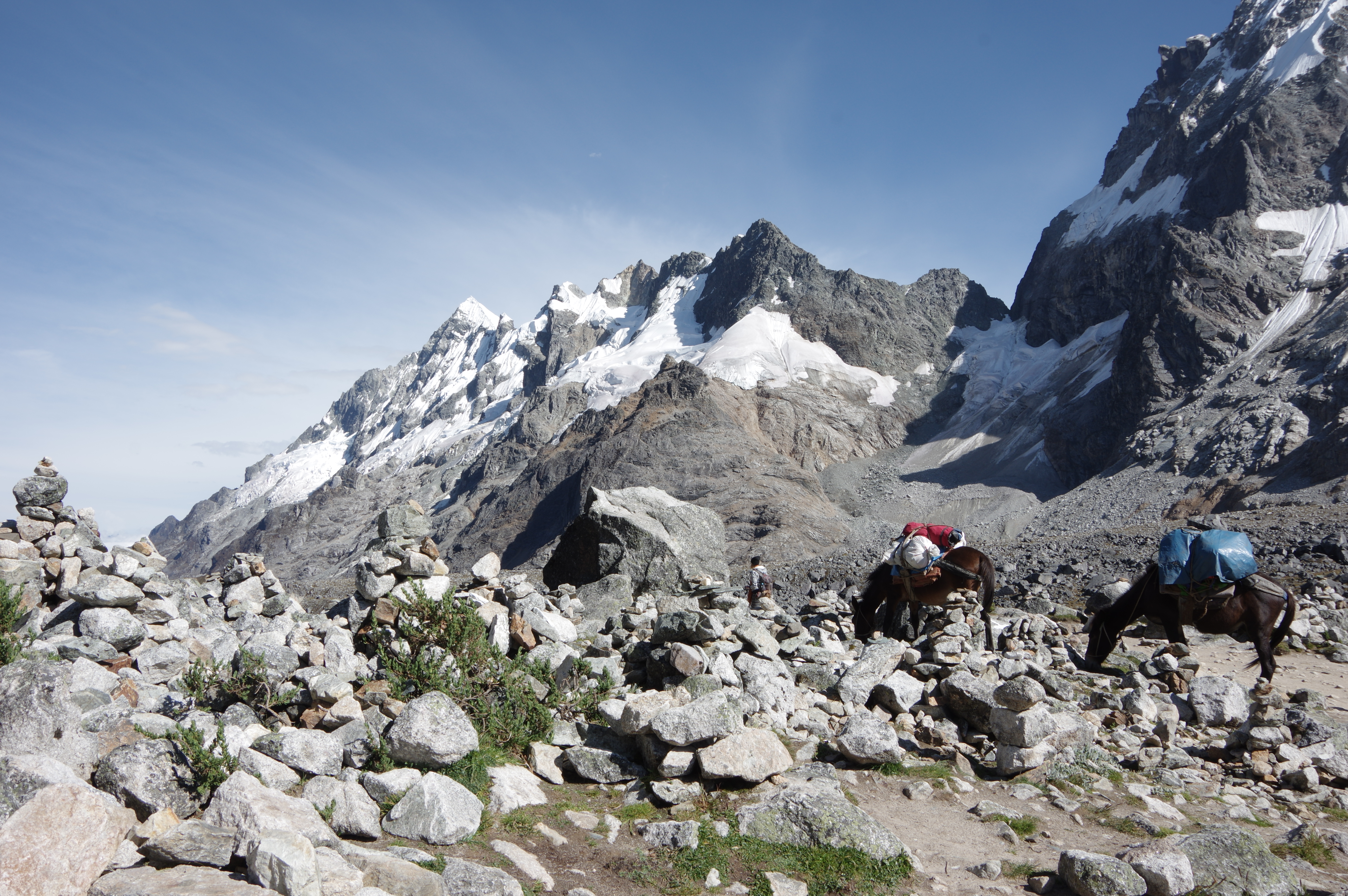
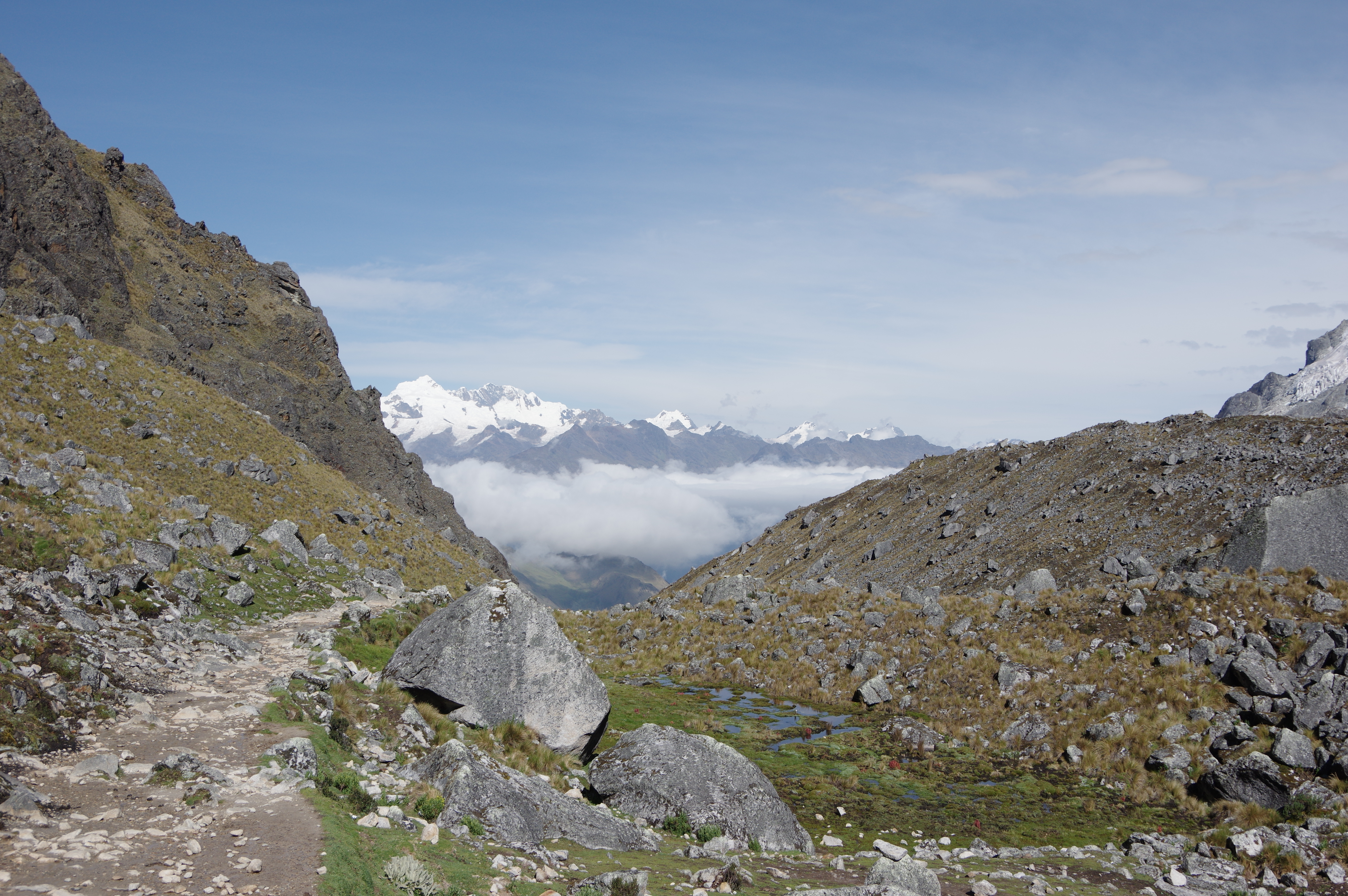
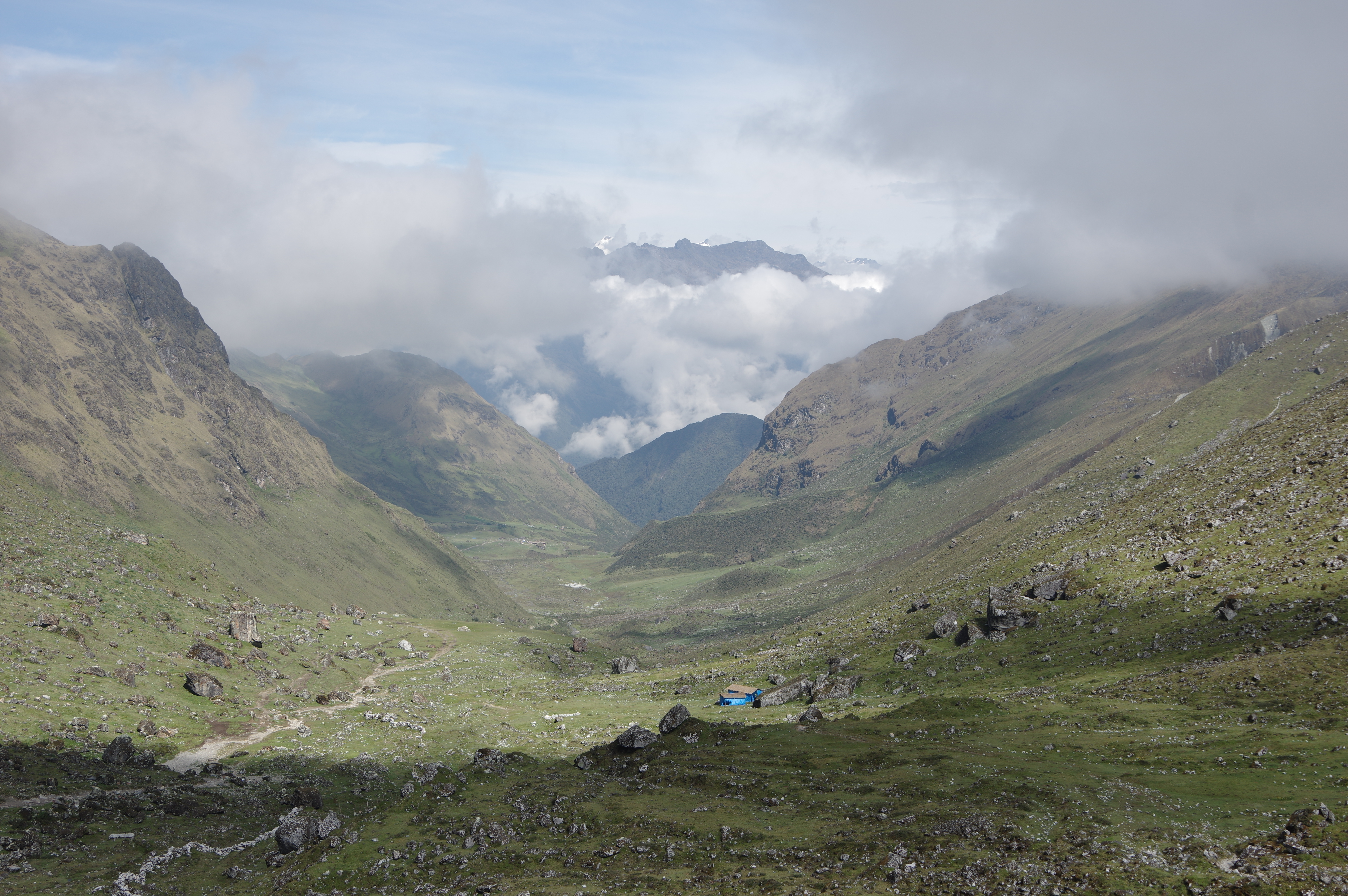
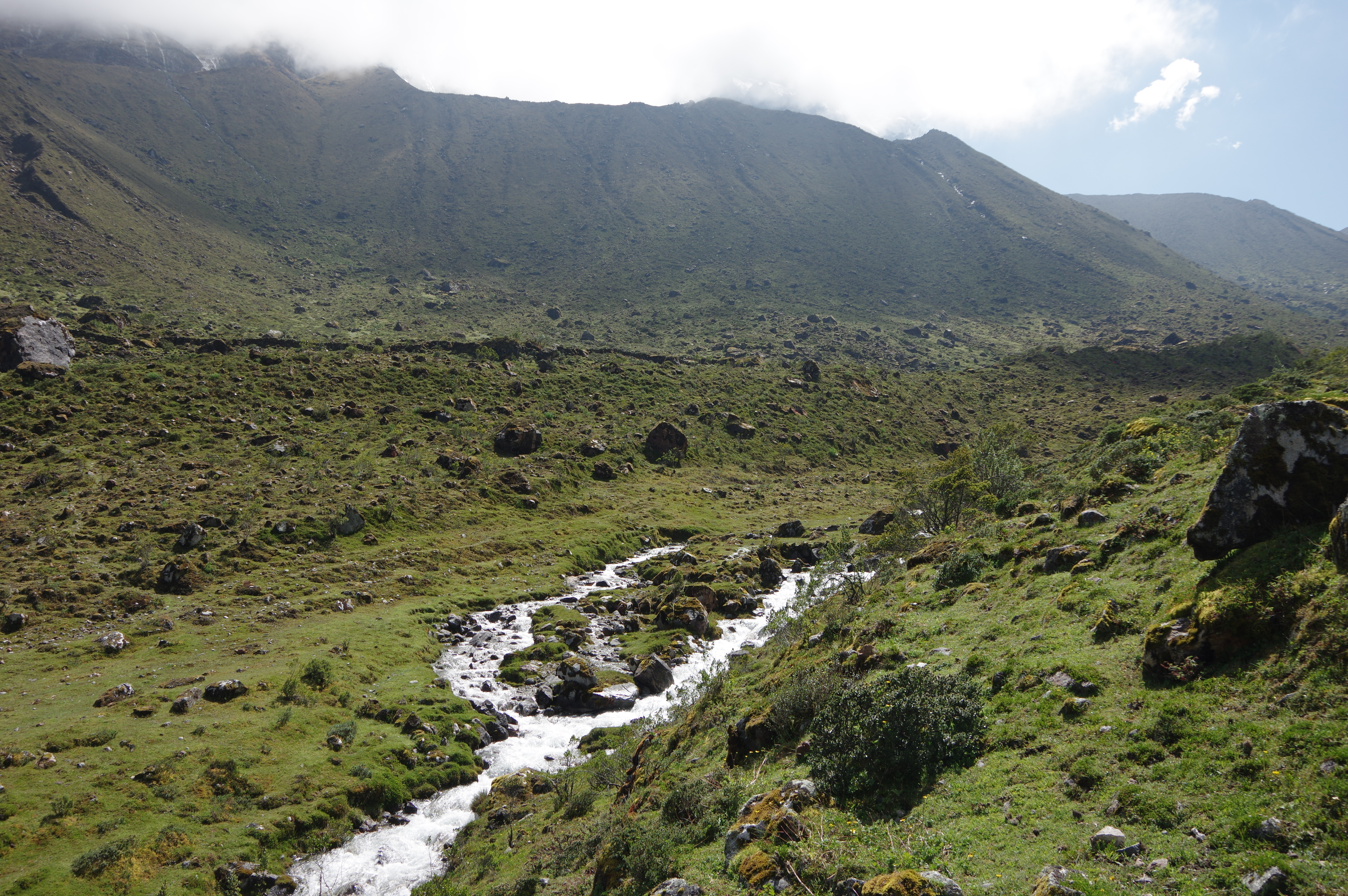
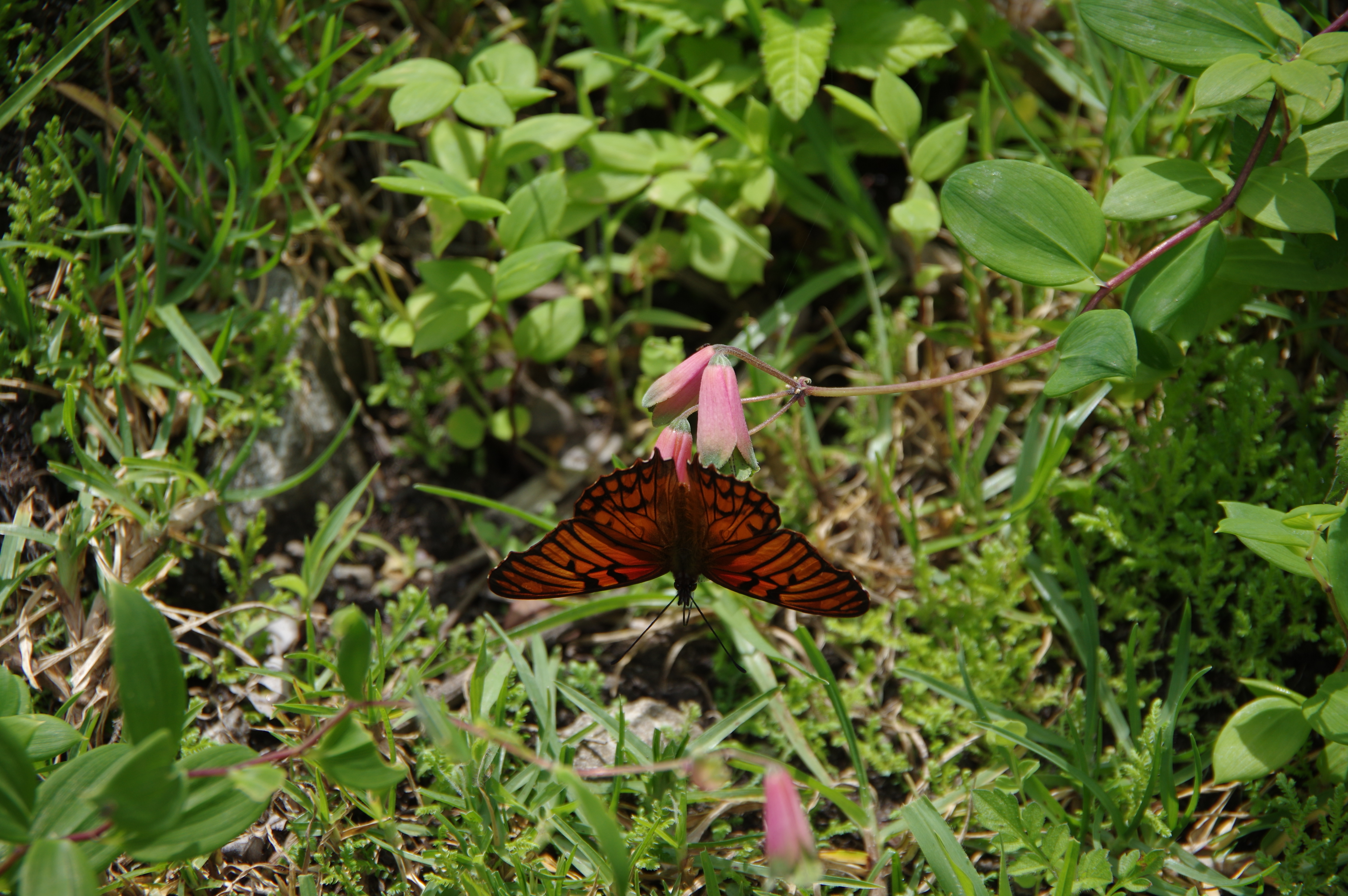
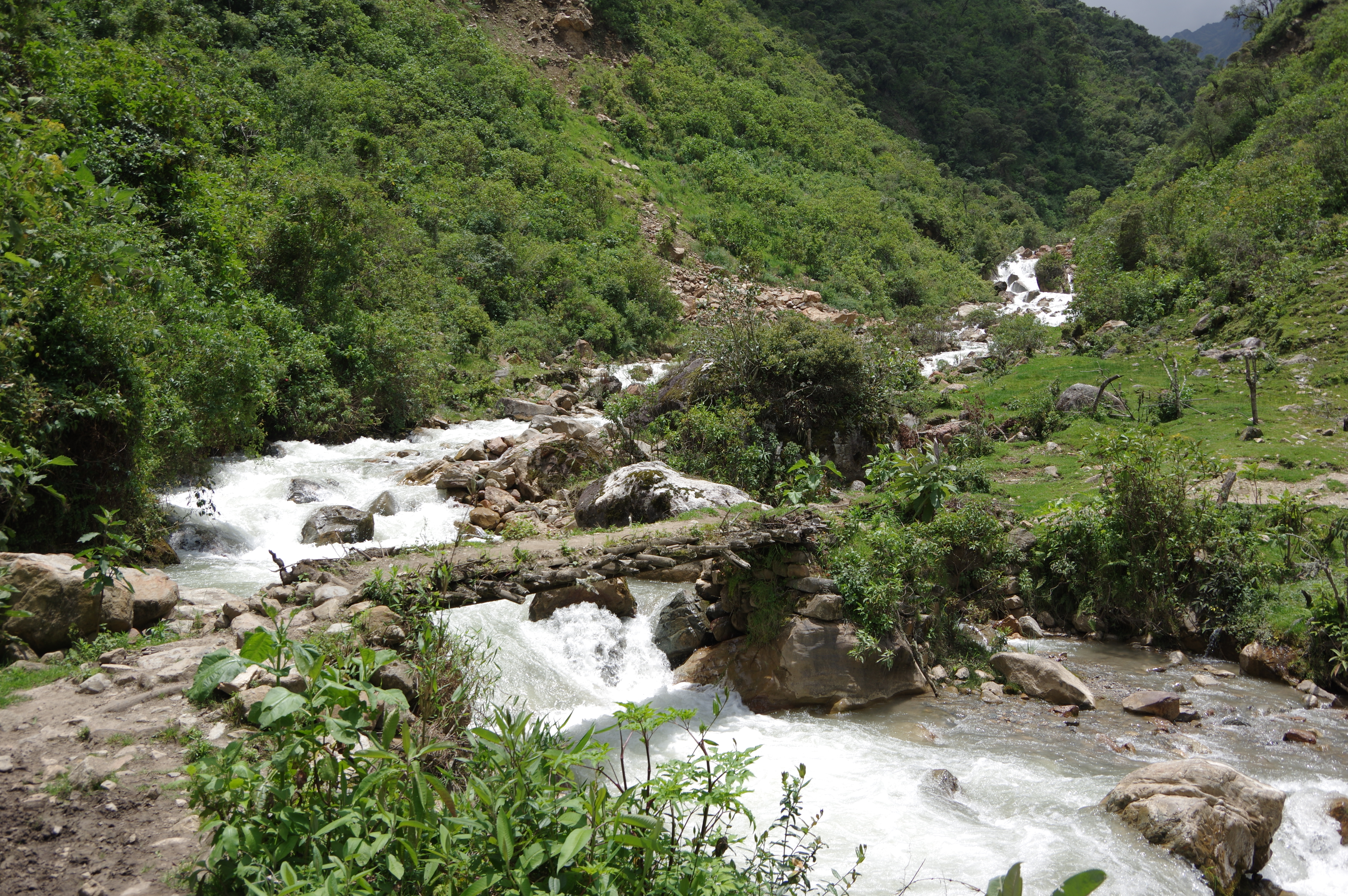
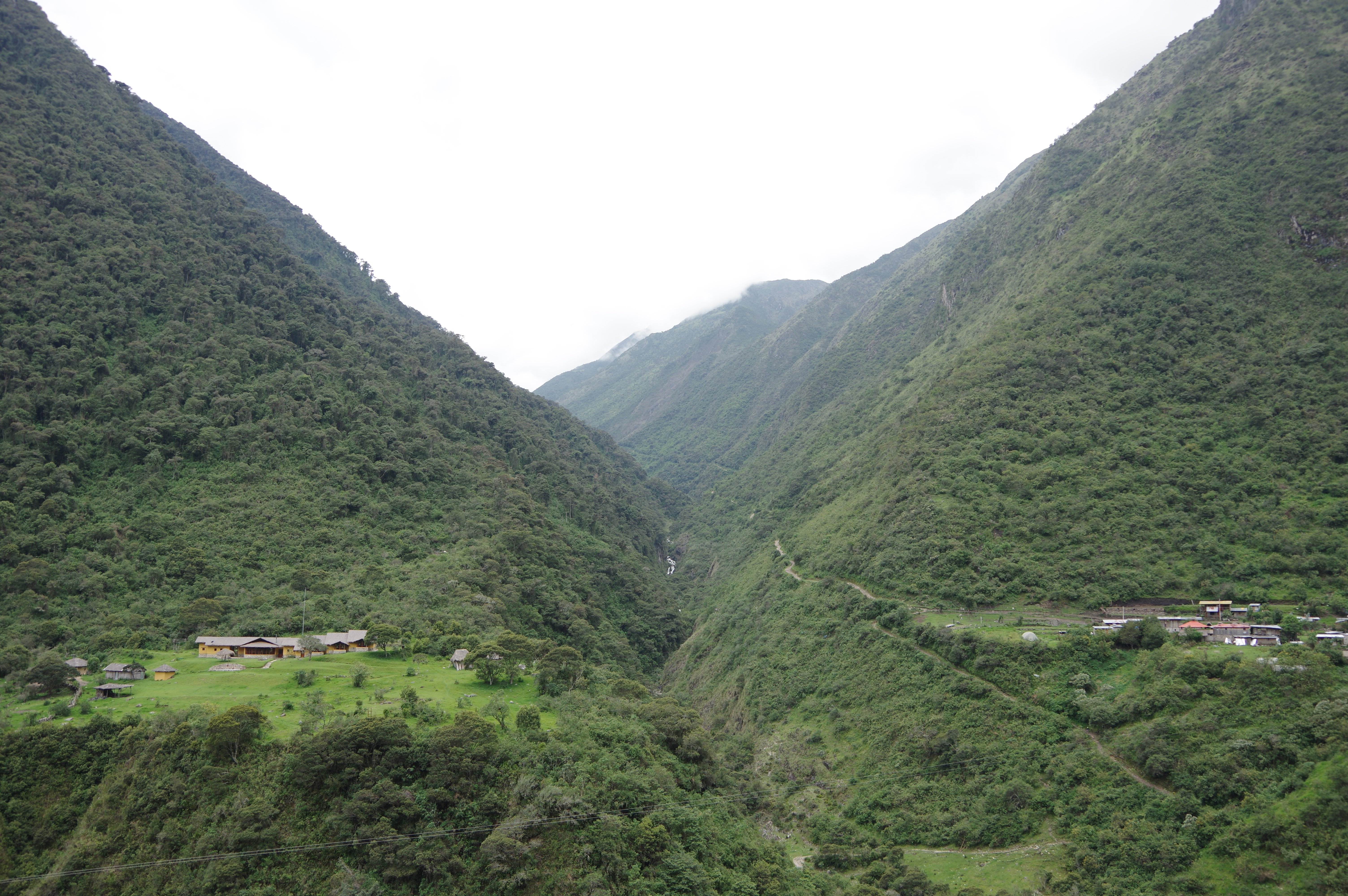
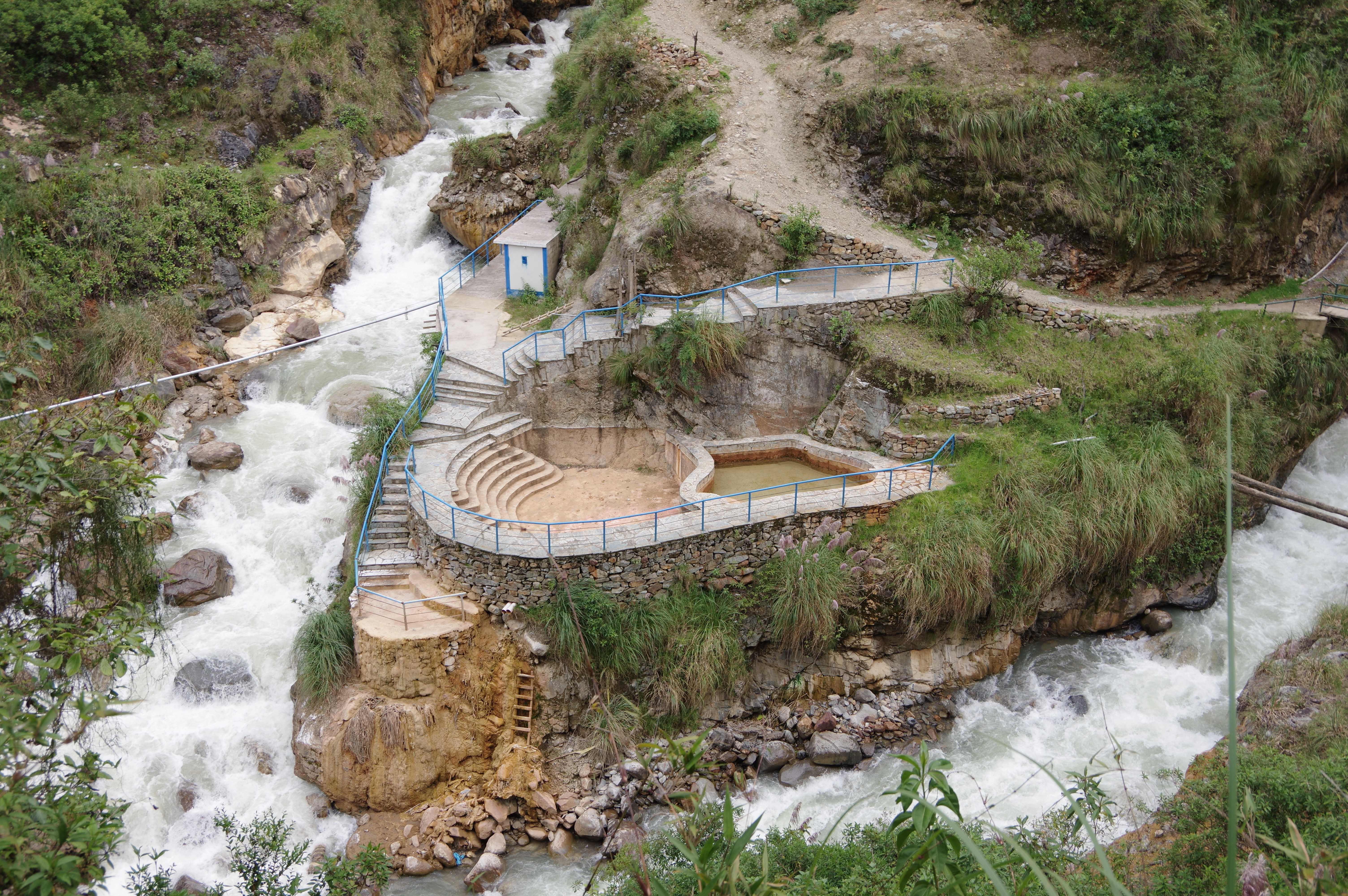
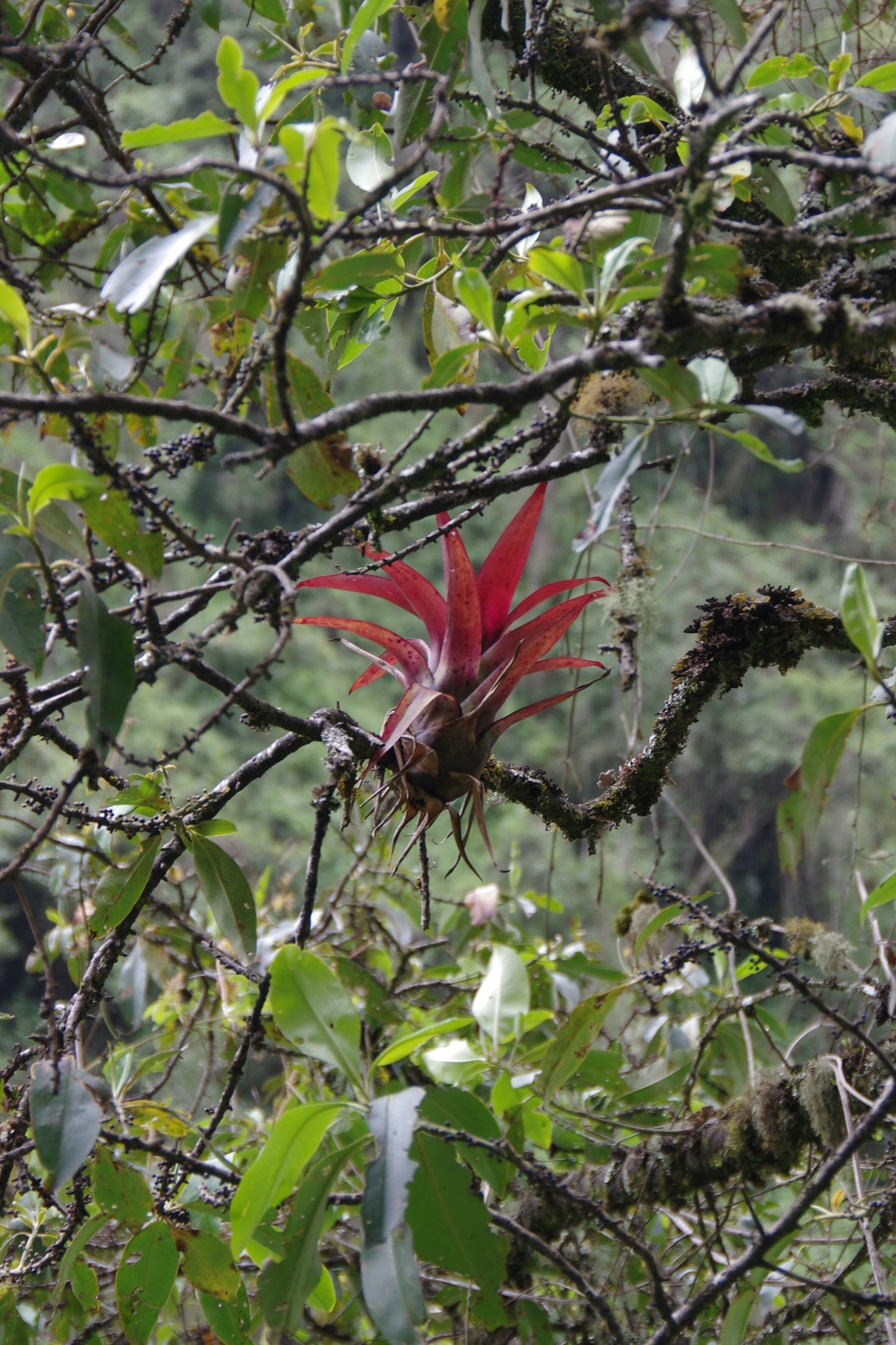
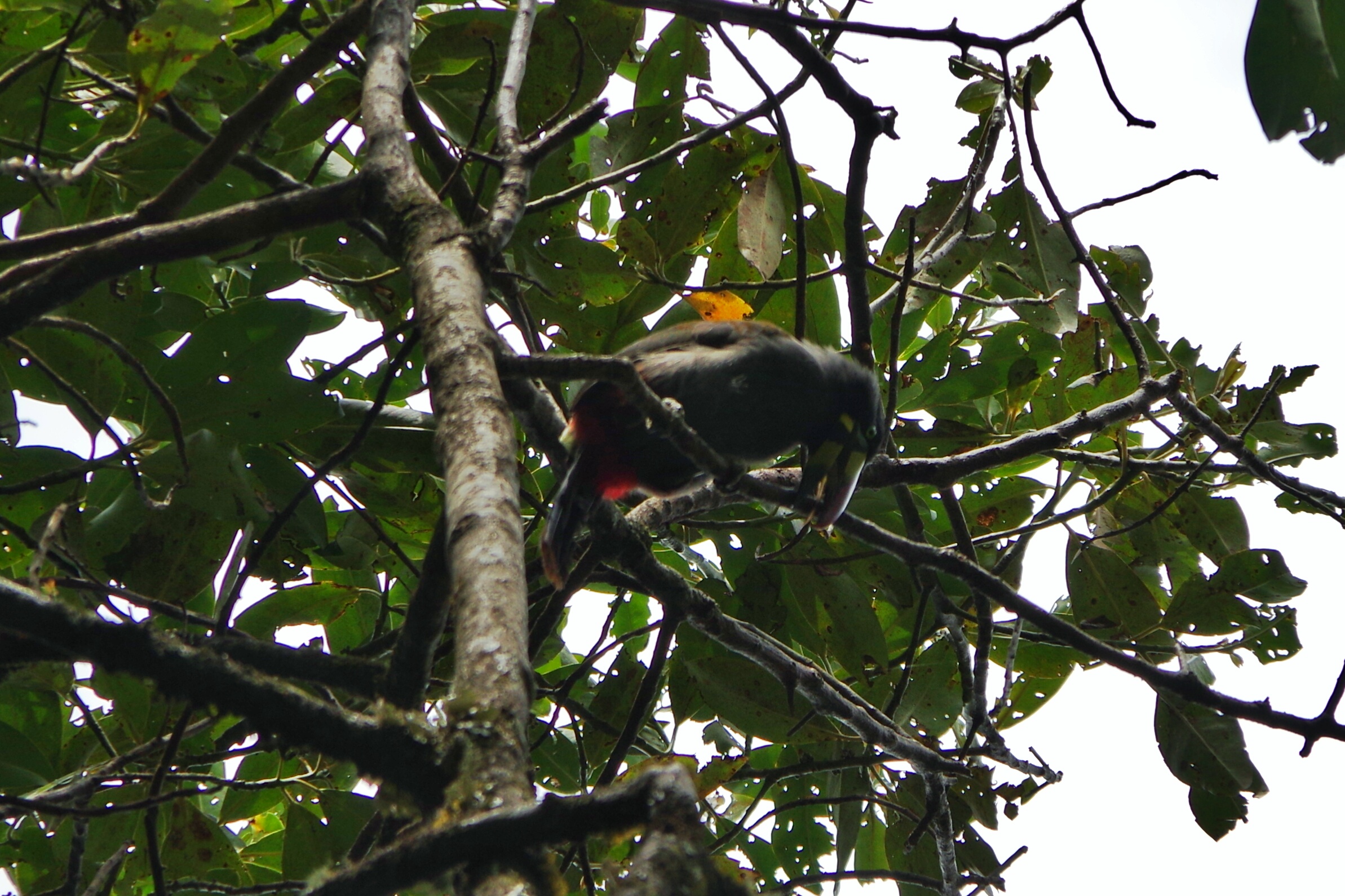
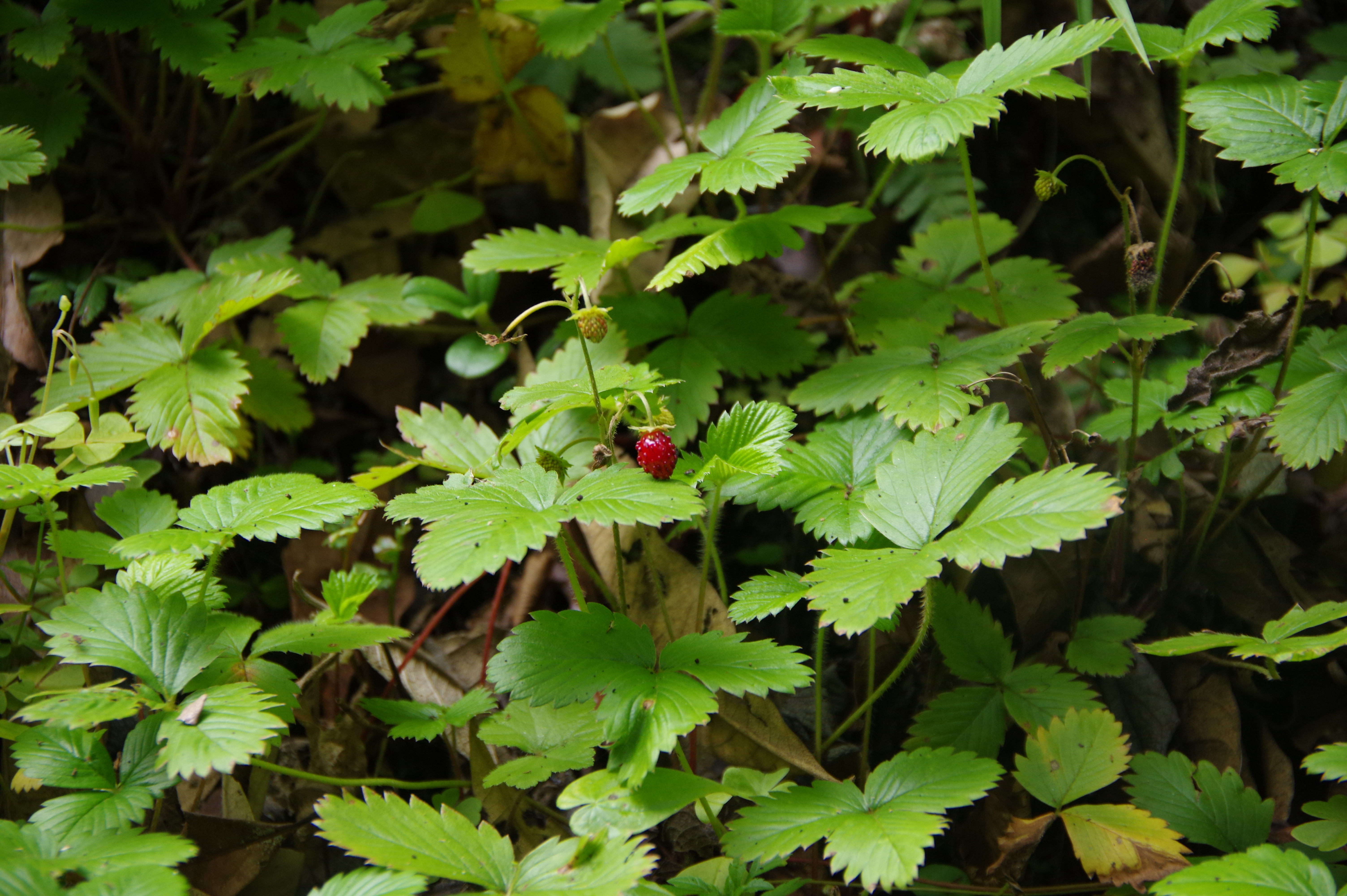
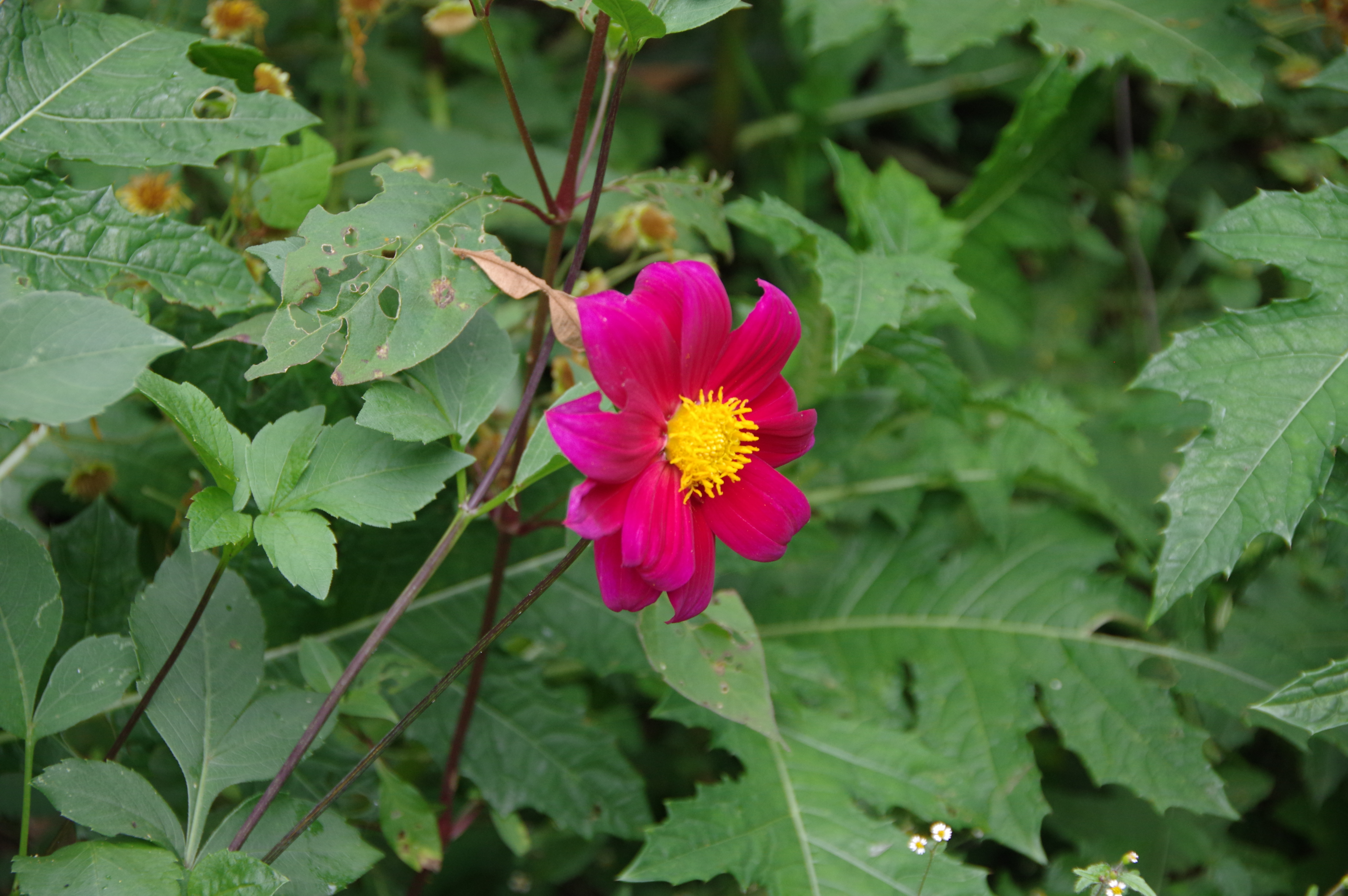
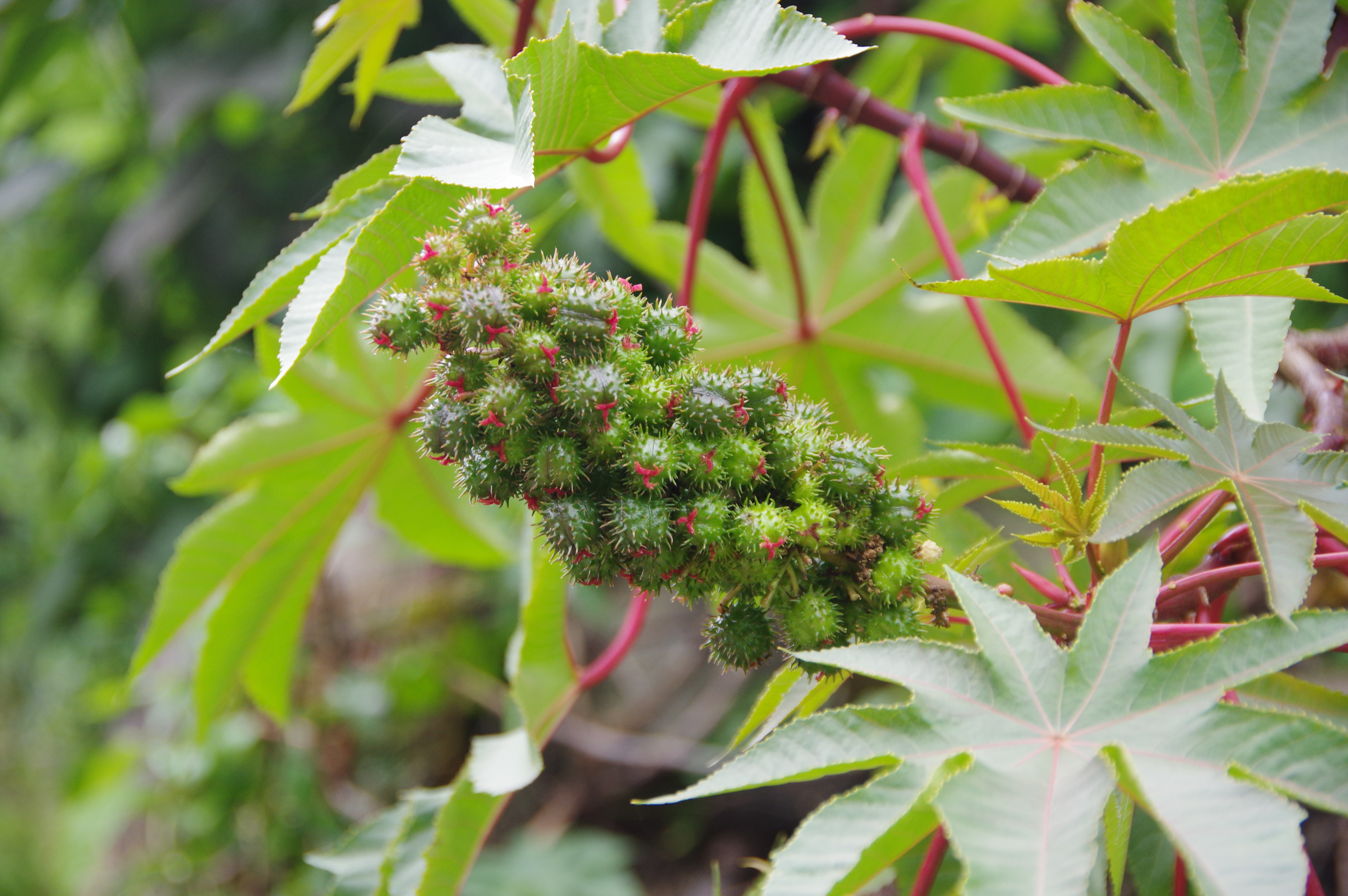
JAN 25, 2016 – When I started walking in the morning it was already 8am. Apparently the tour group got up much earlier because they caught up with me at Salkantay pass, even though they had camped down in Soraypampa. At that point I was really glad to be doing the hike on my own: Two girls in the group were carried up to the pass on horses, and one of them knew nothing better to do than lighting a cigarette once she had arrived. Since this was not quite the company I was looking for, I only took a short break and then started descending at a fast pace. Just after noon I was down in the valley at Chaullay, where the group was likely to spend its second night. I was a bit disappointed when I arrived below Collpapampa and found that the hot springs mentioned in this account from last year were no longer in service. Or maybe closed for the rainy season? Anyway, from there I took the trail along the river towards Playa Sawayaco, which went up and down quite a bit. Flora and fauna were amazing on this stretch; I saw some nice butterflies and even a toucan. There were several campgrounds on the way and I hesitated to stop for the night, but I continued all the way to the village, where I arrived around 5pm after many breaks for photos and snacks.
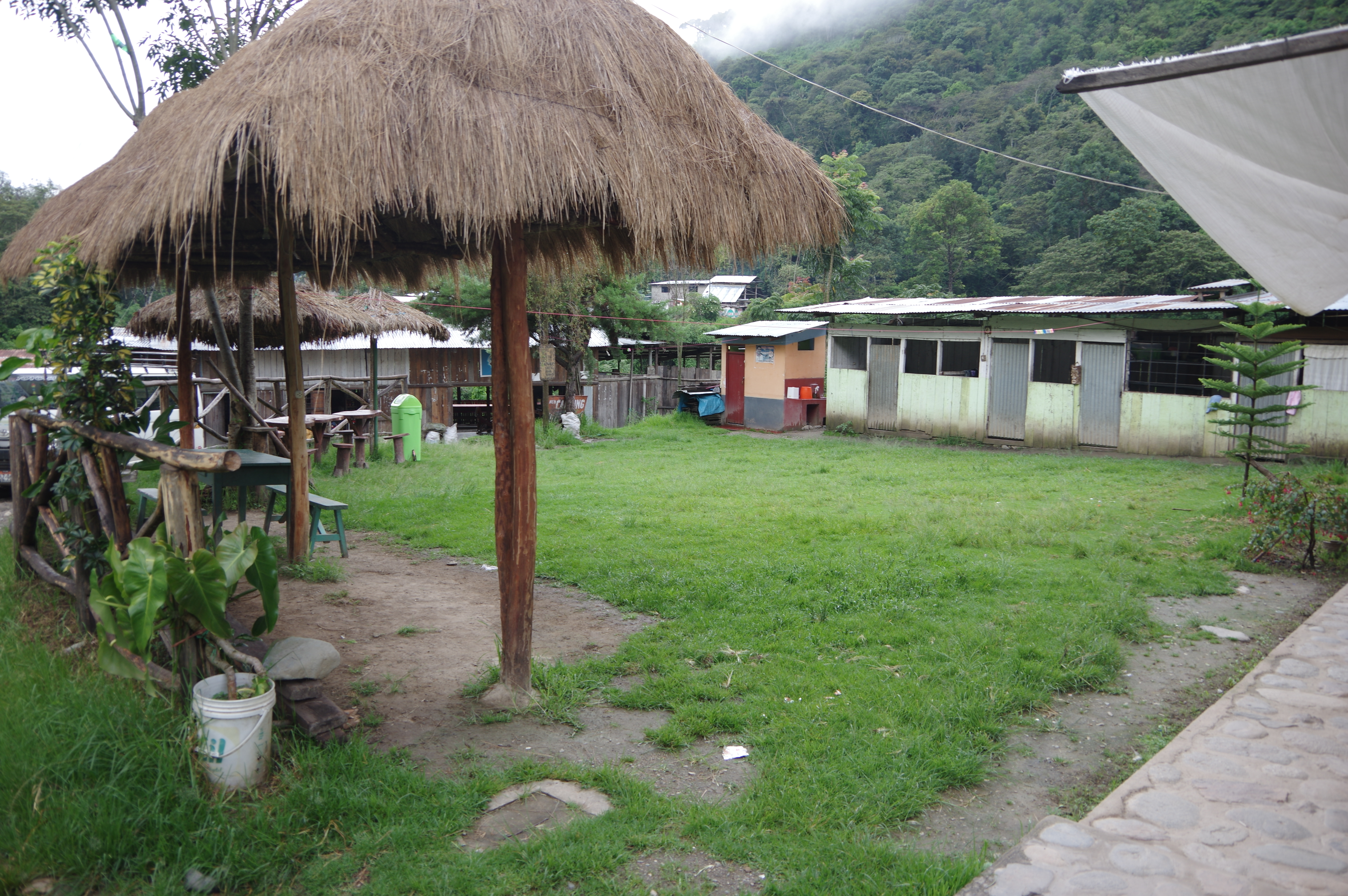
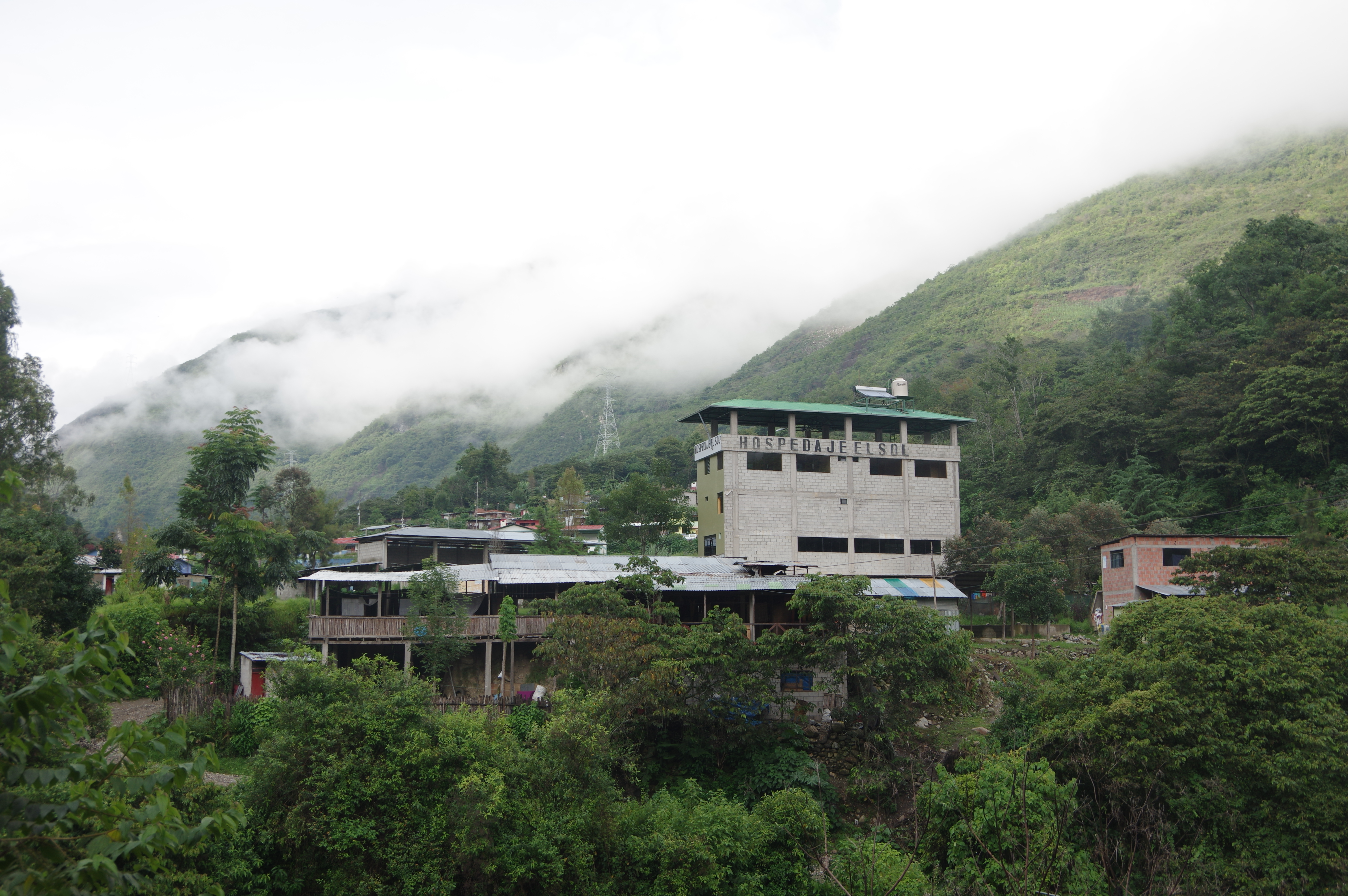
The village is very poor and has apparently been supported by the Canadian government with some infrastructure. Several small tiendas sell food and beverages. I found a free campground in front of a shop just before the bridge over the river, where even a toilet and cold shower was available. Next to it was a ridiculously high building, apparently a simple hotel. The campground owners were very nice and encouraged me to move my tent under a shelter when a thunderstorm was imminent. They also sold me cold beer.
Route: Simply downhill from the pass to Chaullay; the trail gets wider at Wayramachay camp. Do not turn right before Chaullay as that trail goes to a lodge, instead walk through the settlement and down to the river, then uphill again to Collpapampa. From there follow the dirt road until a bridge, where the trail to Playa turns off to the left. Signposts exist only at campgrounds and in villages and aren’t very helpful, but again OpenStreetMap is pretty accurate. Most of the village of Playa Sawayaco is missing on the map, but the campground is indicated correctly. Again it’s enough to carry 2 liters of water, but refill it when necessary as you may walk 1-2 hours without water access.


No Comments