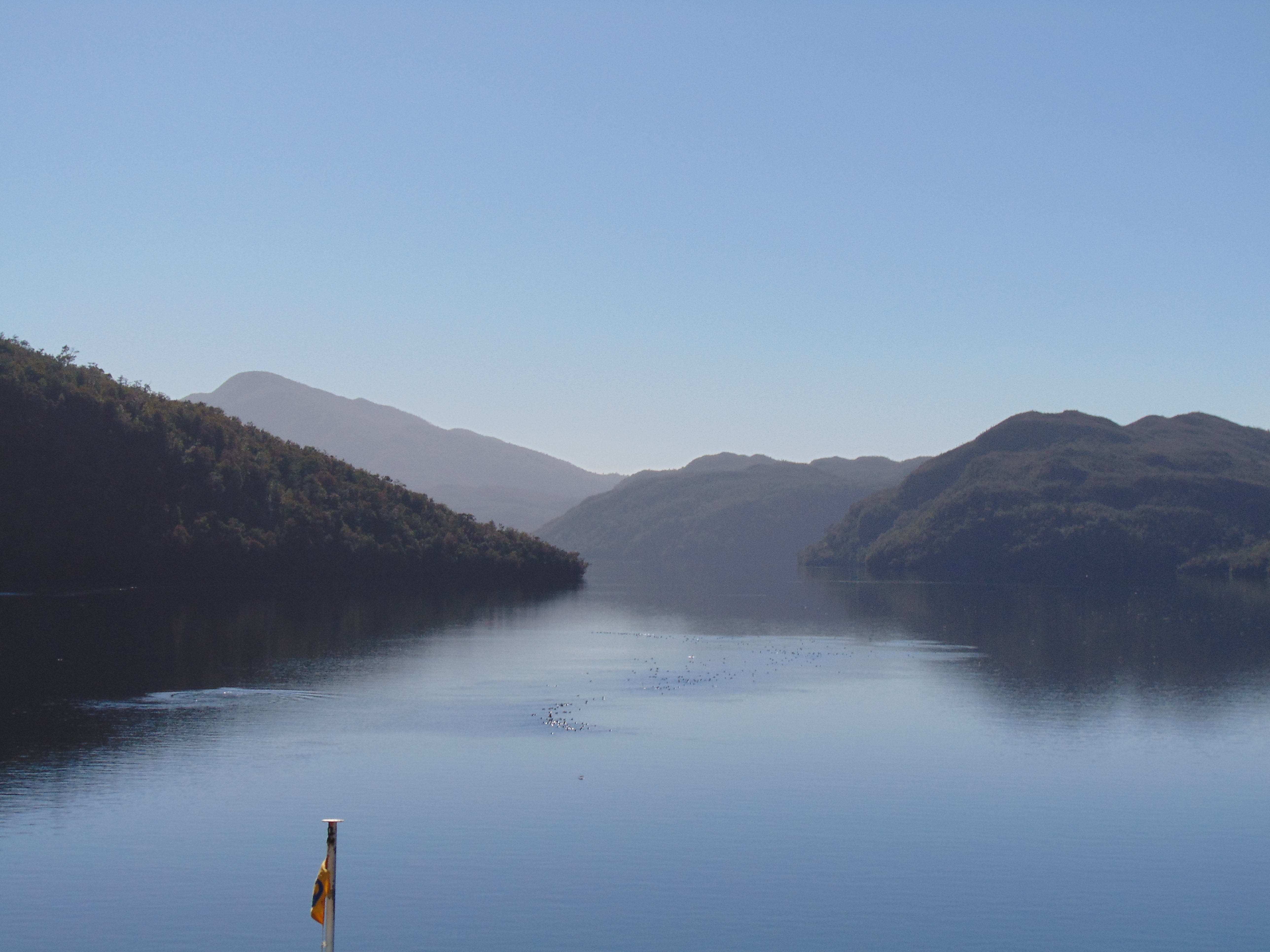
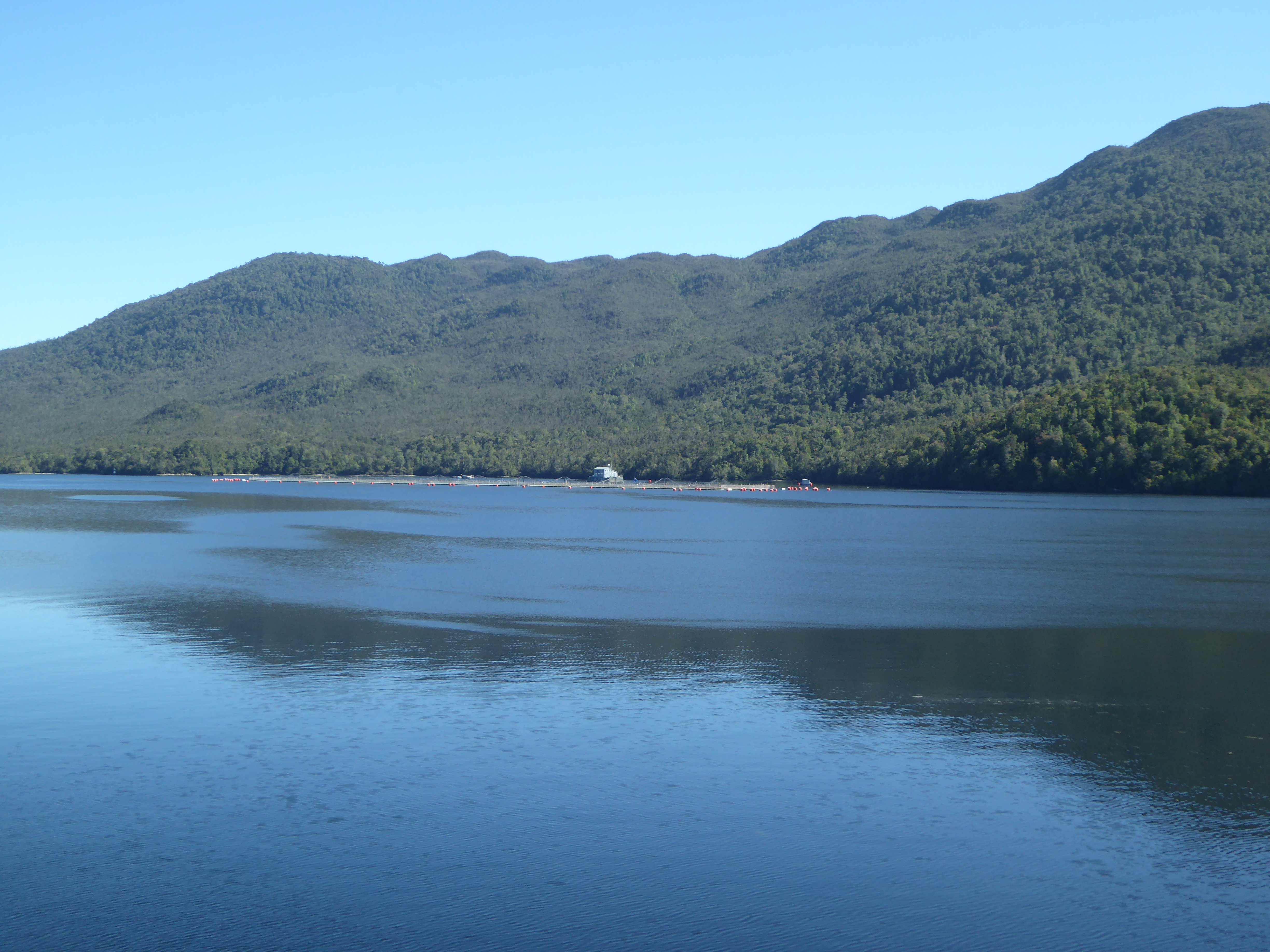
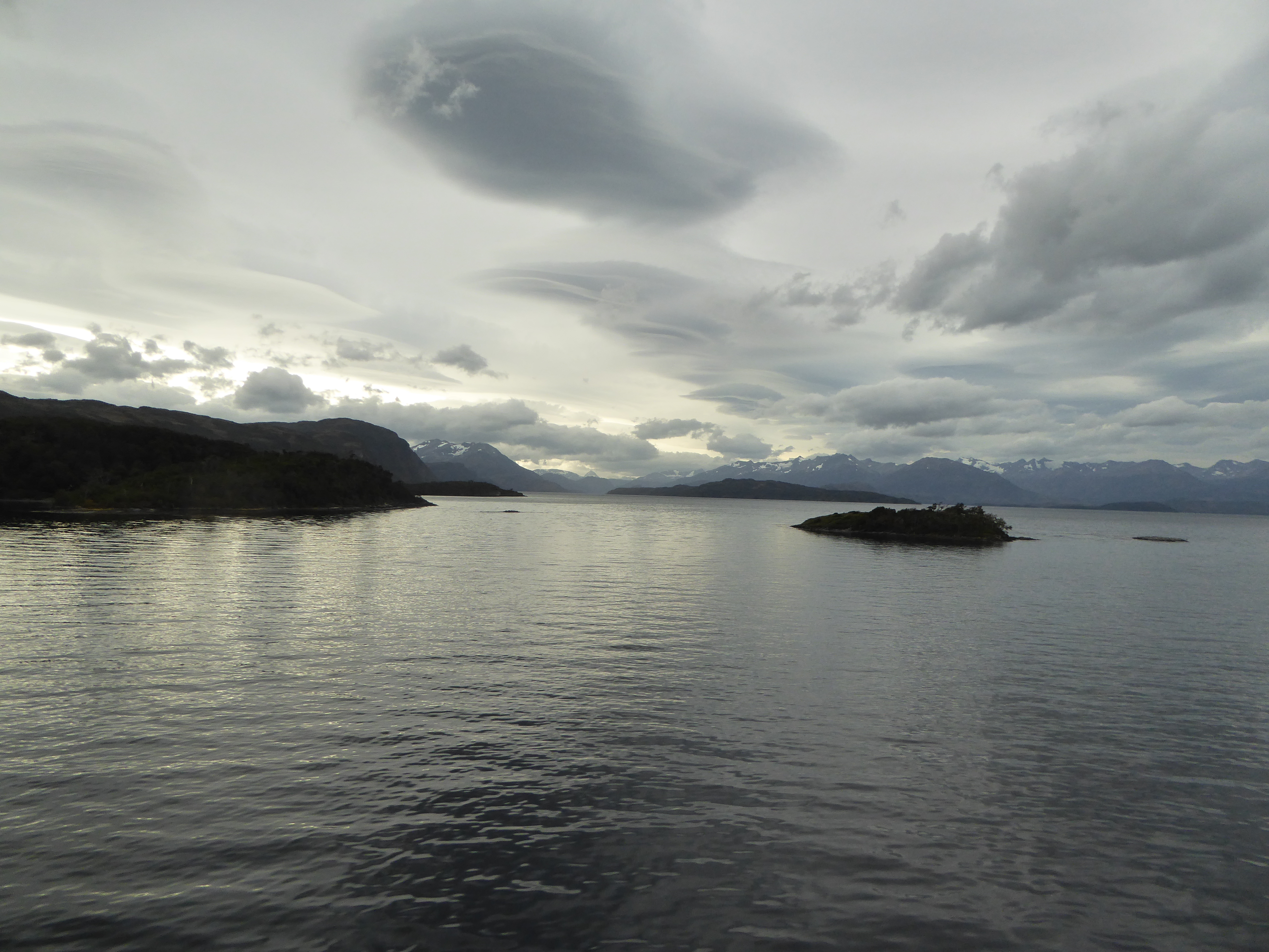
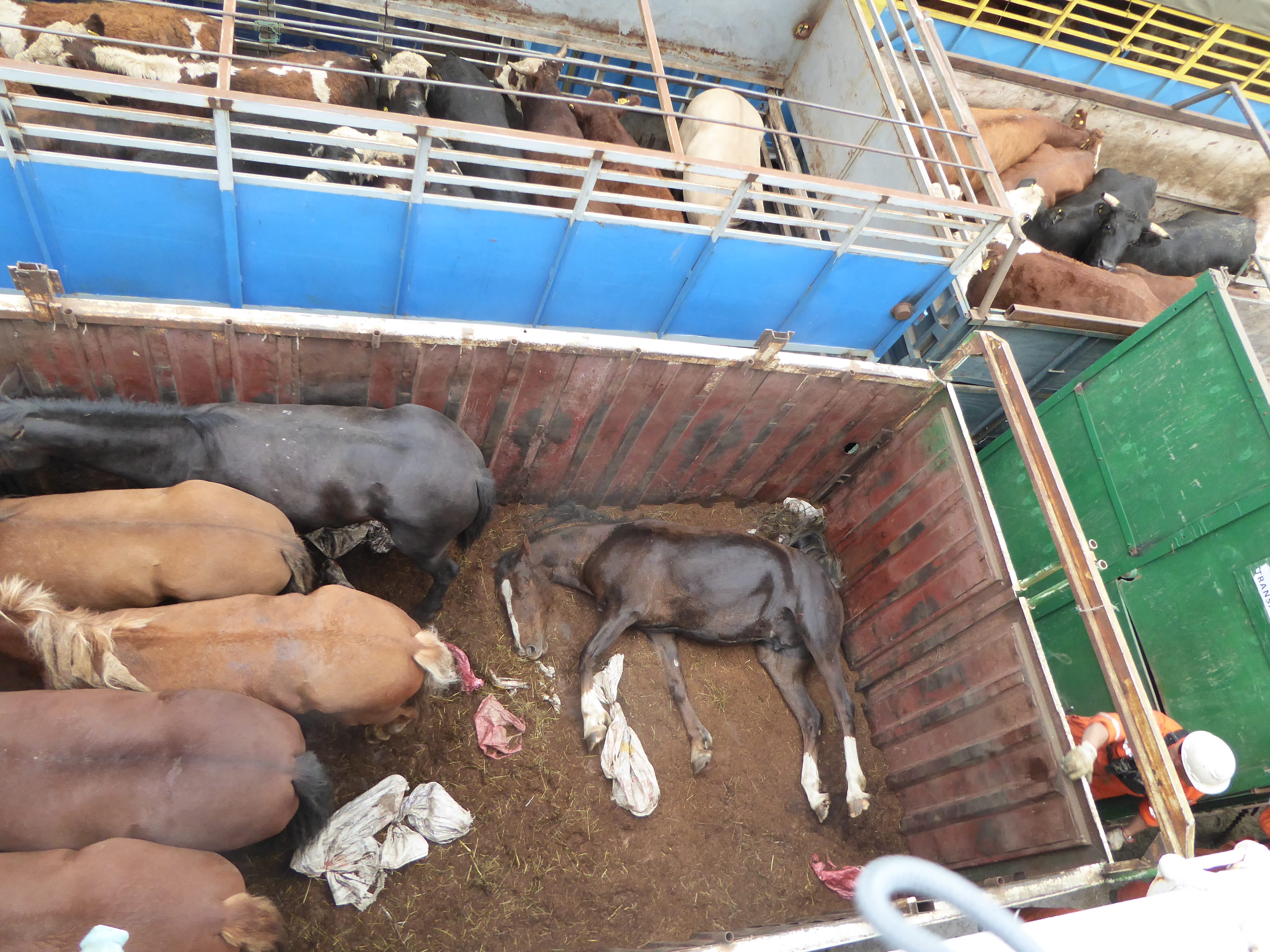
MAR 6, 2016 – I had booked the four-day ferry trip from Puerto Natales to Puerto Montt to experience the distance between central and Southern Chile, and in the hope of seeing more of the diverse landscapes that this part of Chile has to offer. I also did it because I still remembered travelling on a Hurtigruten boat in Norway back in 2005, and I had really enjoyed chilling on a boat for a few days. The standard was a bit lower here: Since this is a cargo ship first and foremost, they were serving relatively basic meals, and terrible instant coffee. But the landscape was really beautiful, and the travel guide on board always pointed out when something interesting was happening, such as whales, dolphins or particular birds appearing near the ship. The only sad part was that the boat was transporting live animals – horses and cows – that were being brought to slaughterhouses further north, but suffered a lot during the journey. Also, they emitted a sickening stench that filled the entire stern of the boat.
Weirdly alcoholic beverages were entirely banned on the ship, so in practice people were drinking smuggled alcohol in their cabins or disguising it as some other beverage. Apparently this rule is due to some drunkards causing a fire some time ago. We all agreed that banning alcohol seems like an overreaction to that, given how much money Navimag could make by selling it on board, and doesn’t really solve a problem. I had seen a mention of the alcohol ban on Navimag’s website previously, but I assumed that meant they would be selling alcohol on board and just wanted to have a monopoly on it.
I was not the only backpacker on the ship – many of them were traveling in the shared cabins, even a few that I had previously met in Puerto Natales. I shared my cabin with Mark from the UK and Jeff from Canada. With Jeff I traveled to Chiloé afterwards, while others continued in different directions.
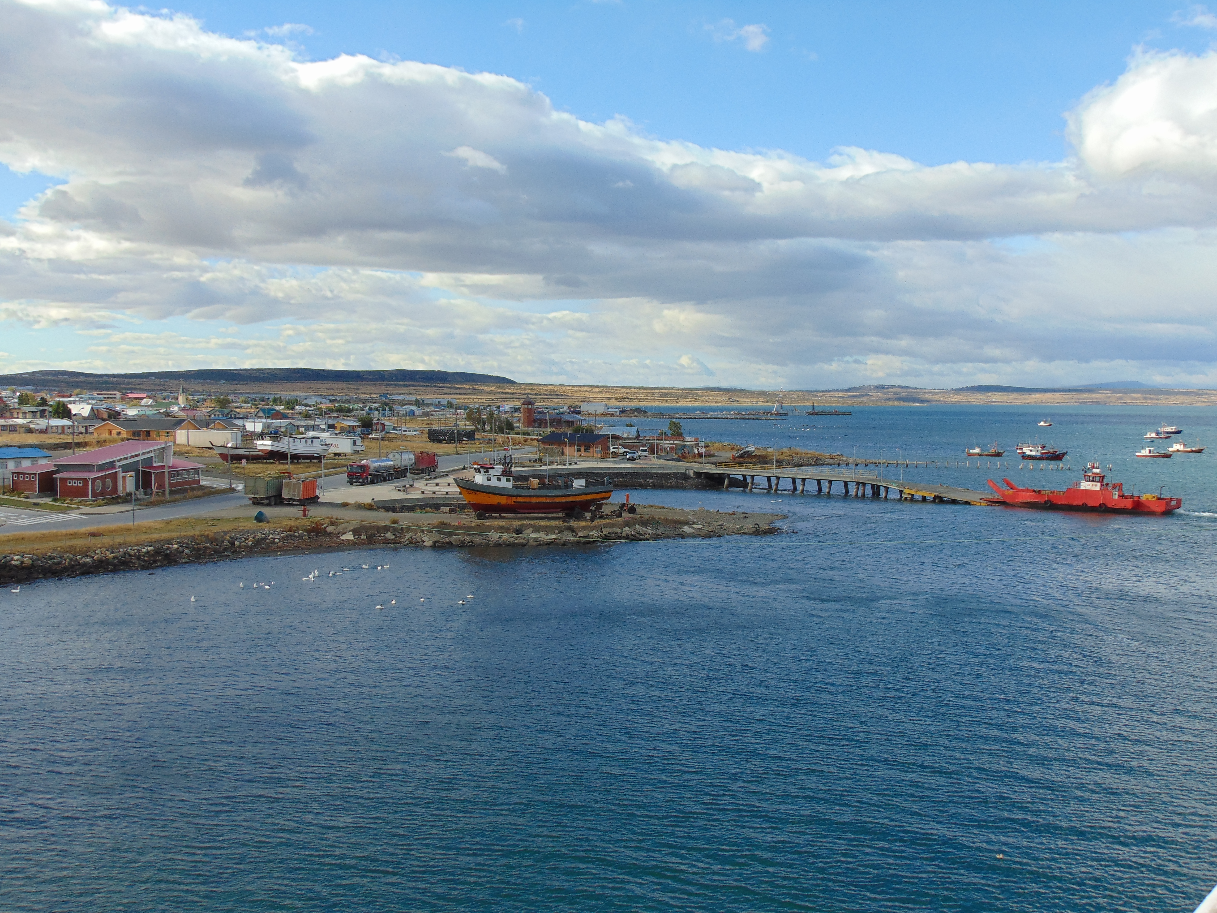
Leaving Puerto Natales
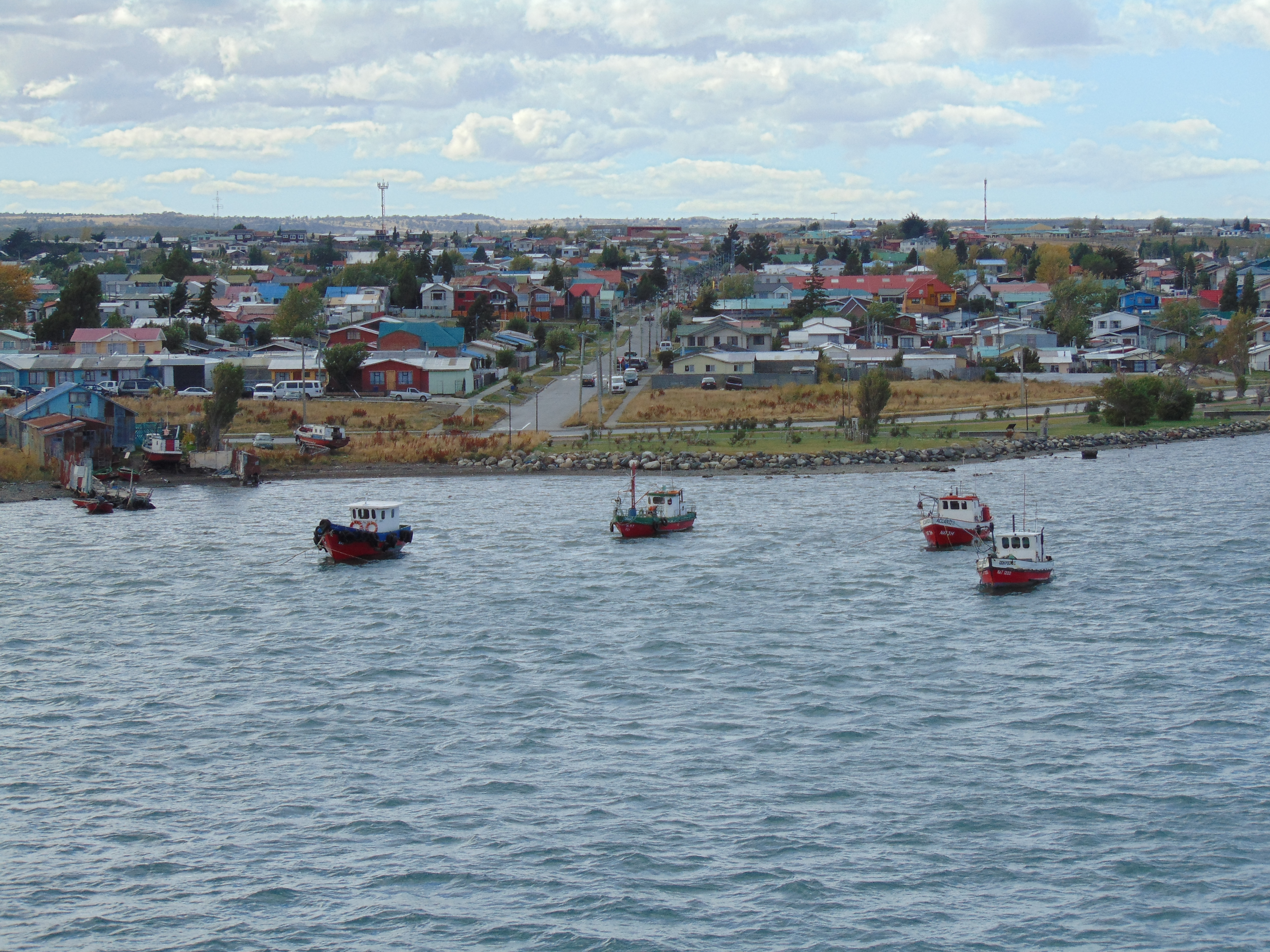
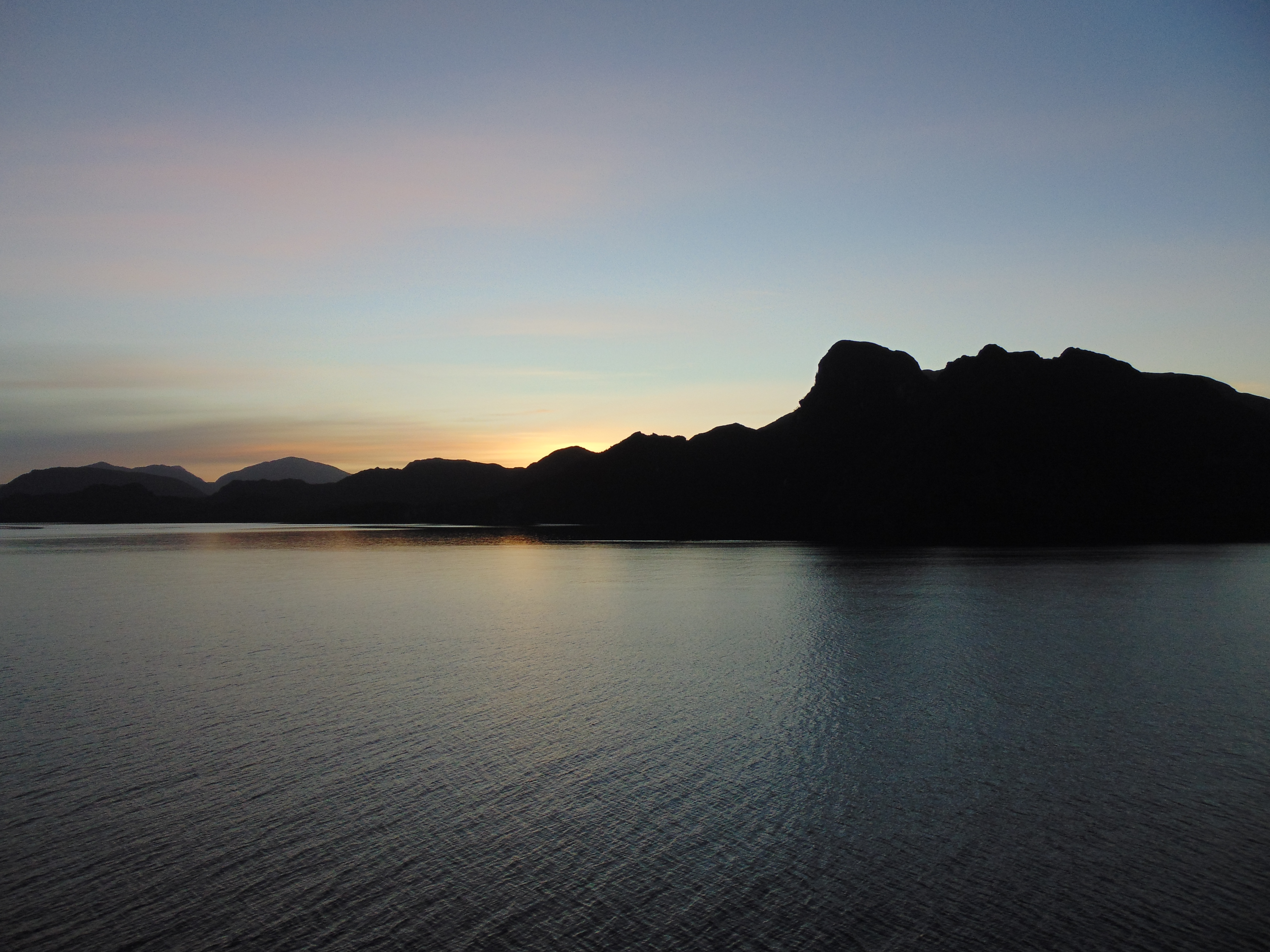
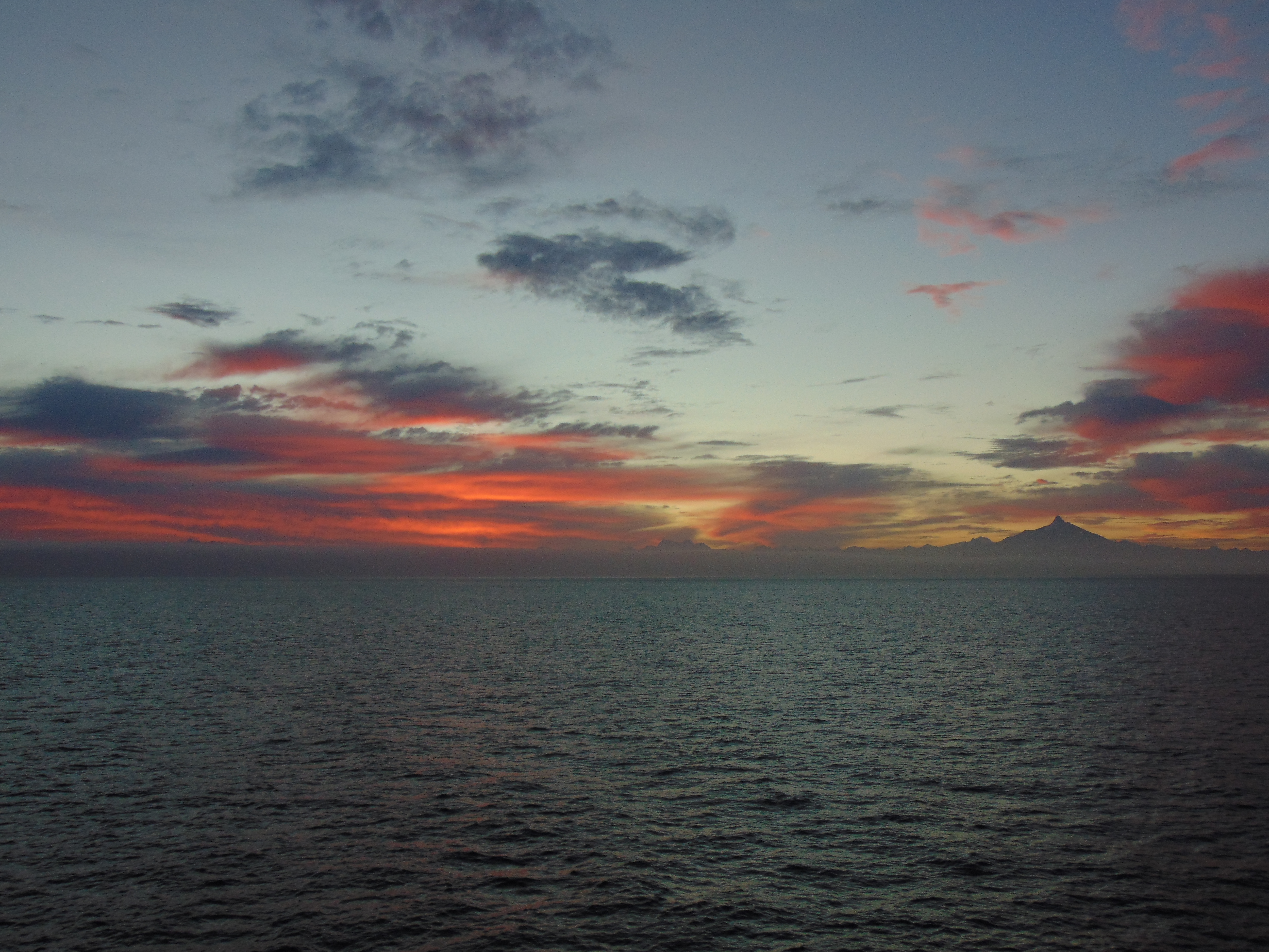
Harbor area of Puerto Natales (Photo: Jeff Perry)Black-necked swans (Photo: Jeff Perry)Docks of Puerto Natales (Photo: Jeff Perry)Sunset at sea
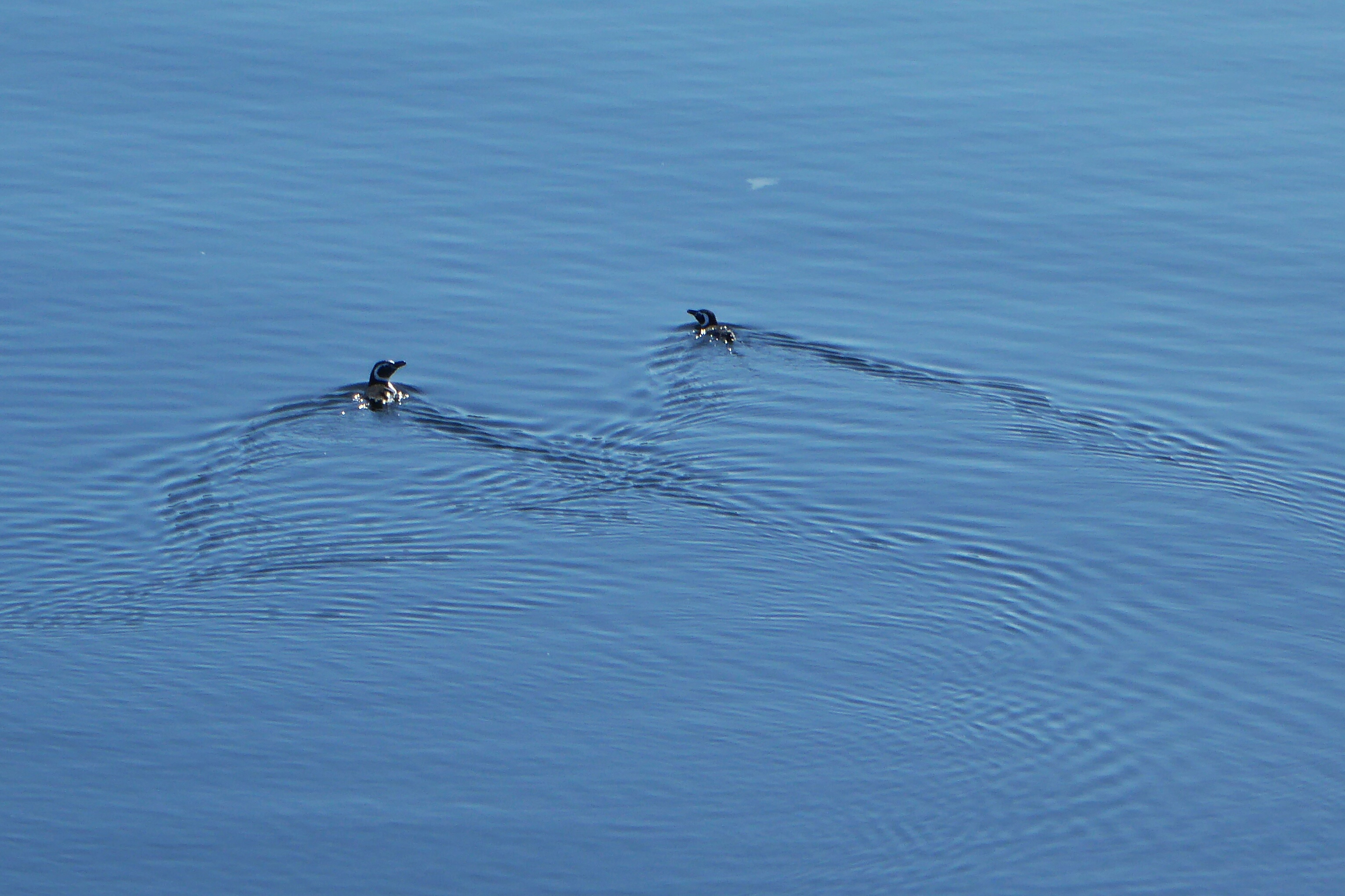
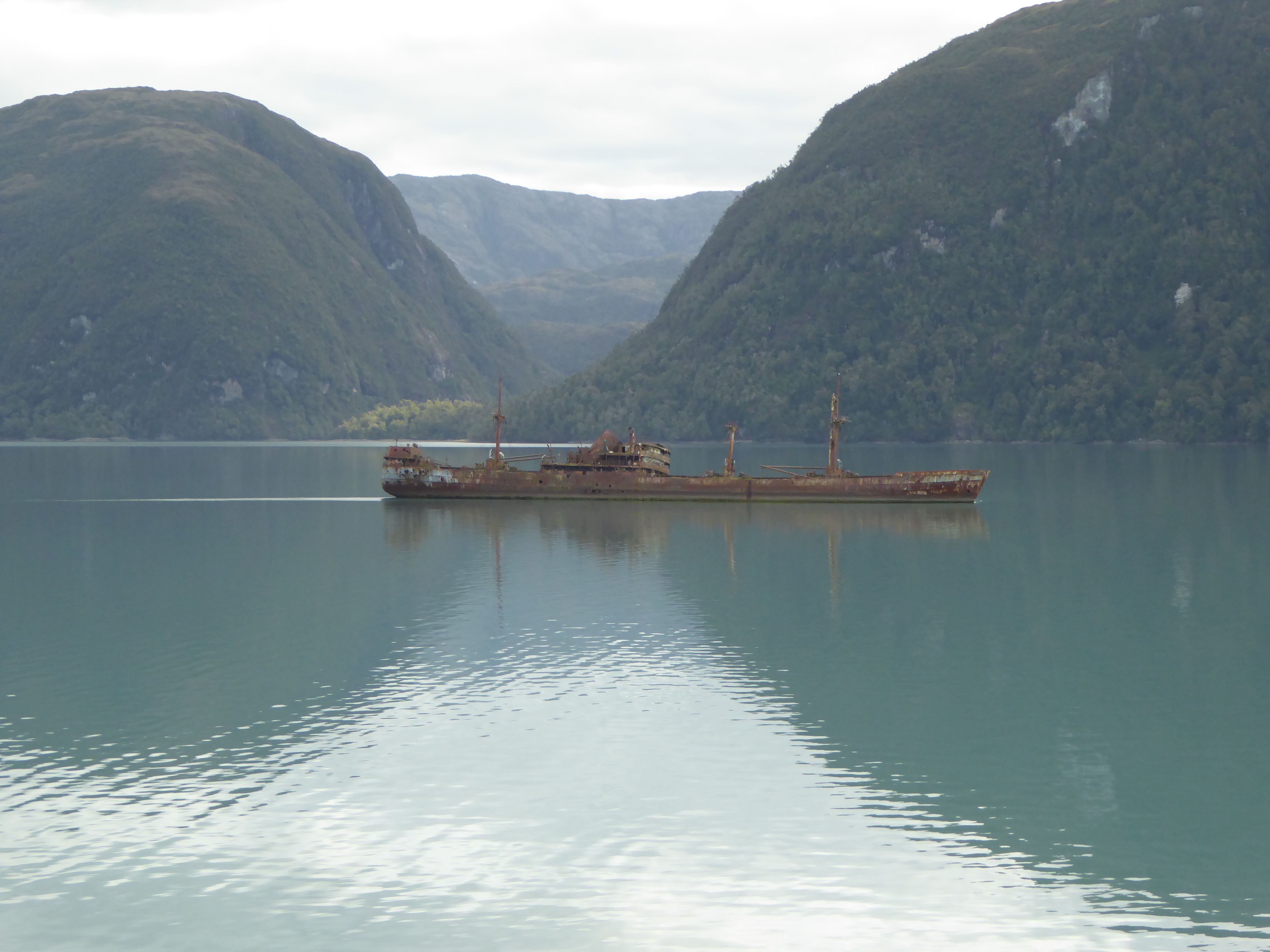
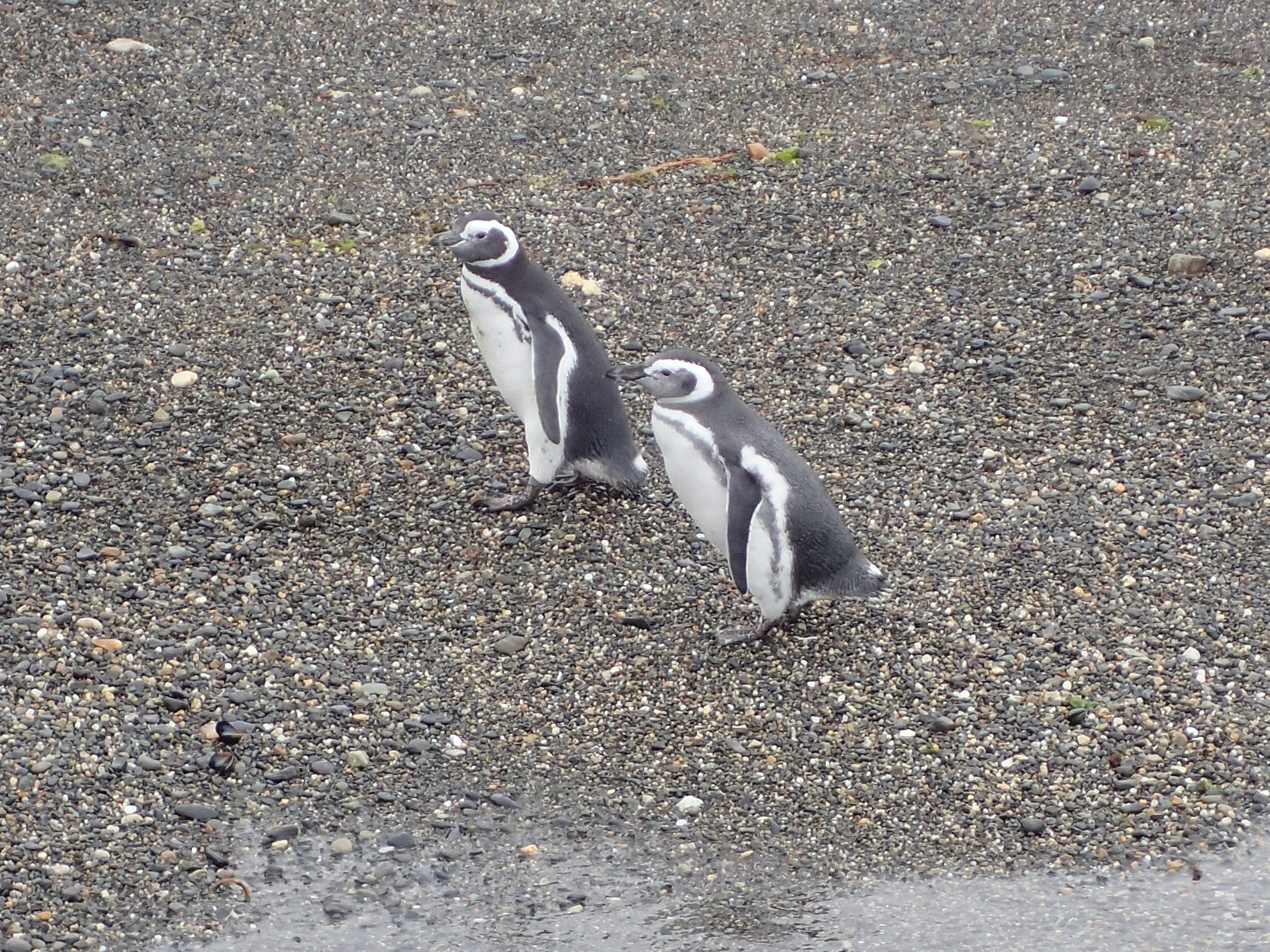
Some lost penguins (Photo: Mark Fittes)Photo: Mark FittesA famous old shipwreck (Photo: Mark Fittes)Another nice sunset (Photo: Mark Fittes)
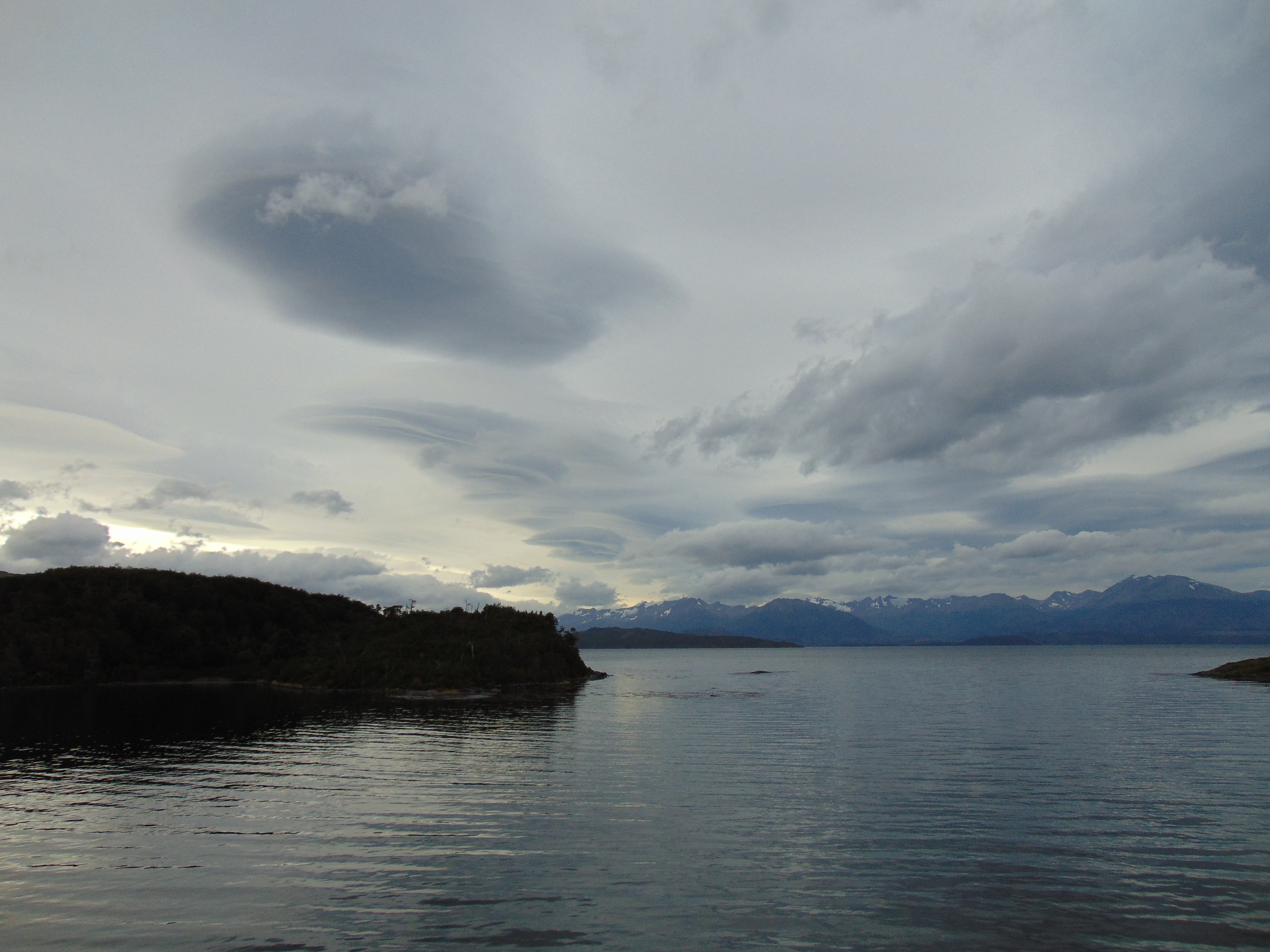
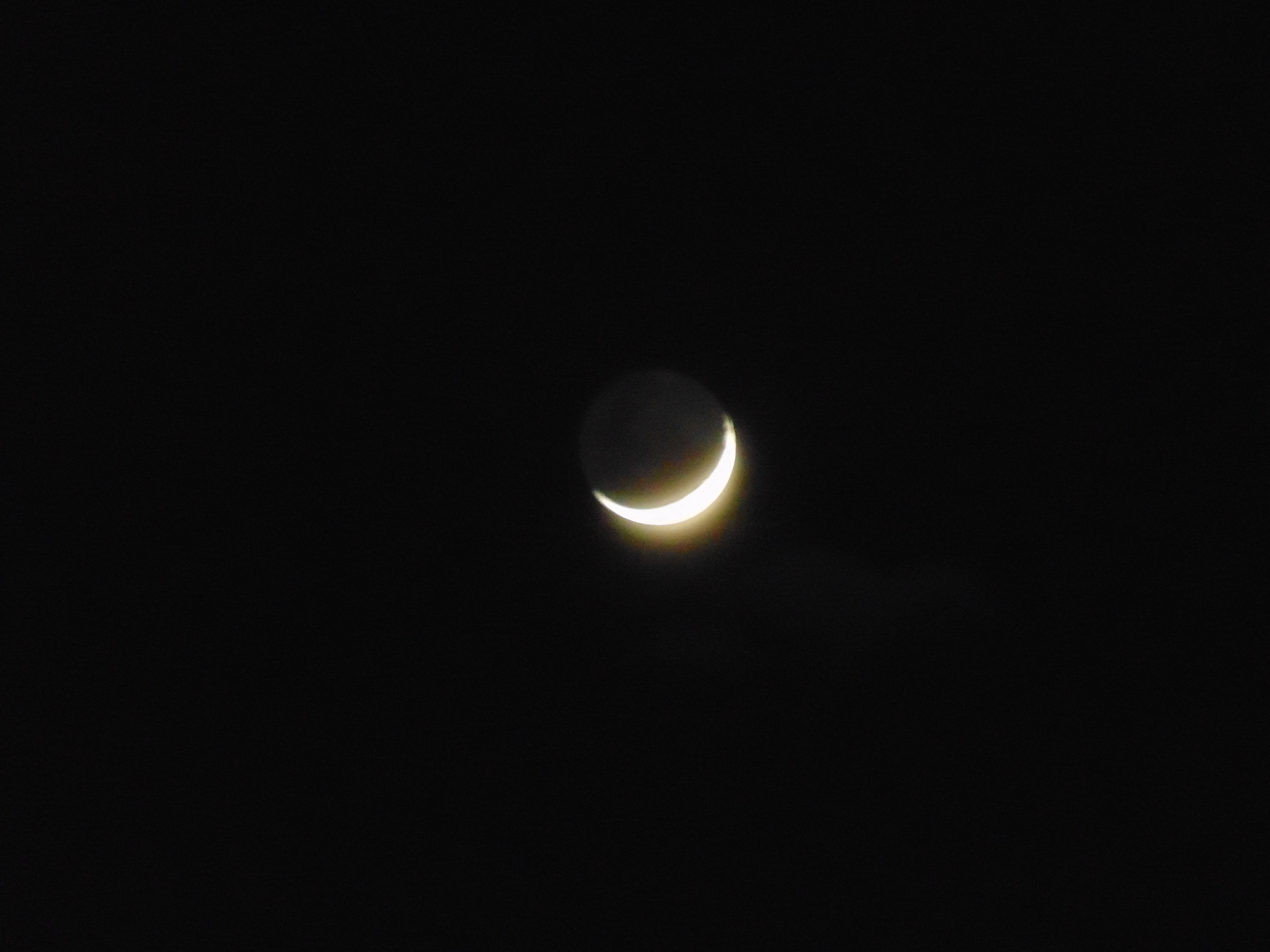
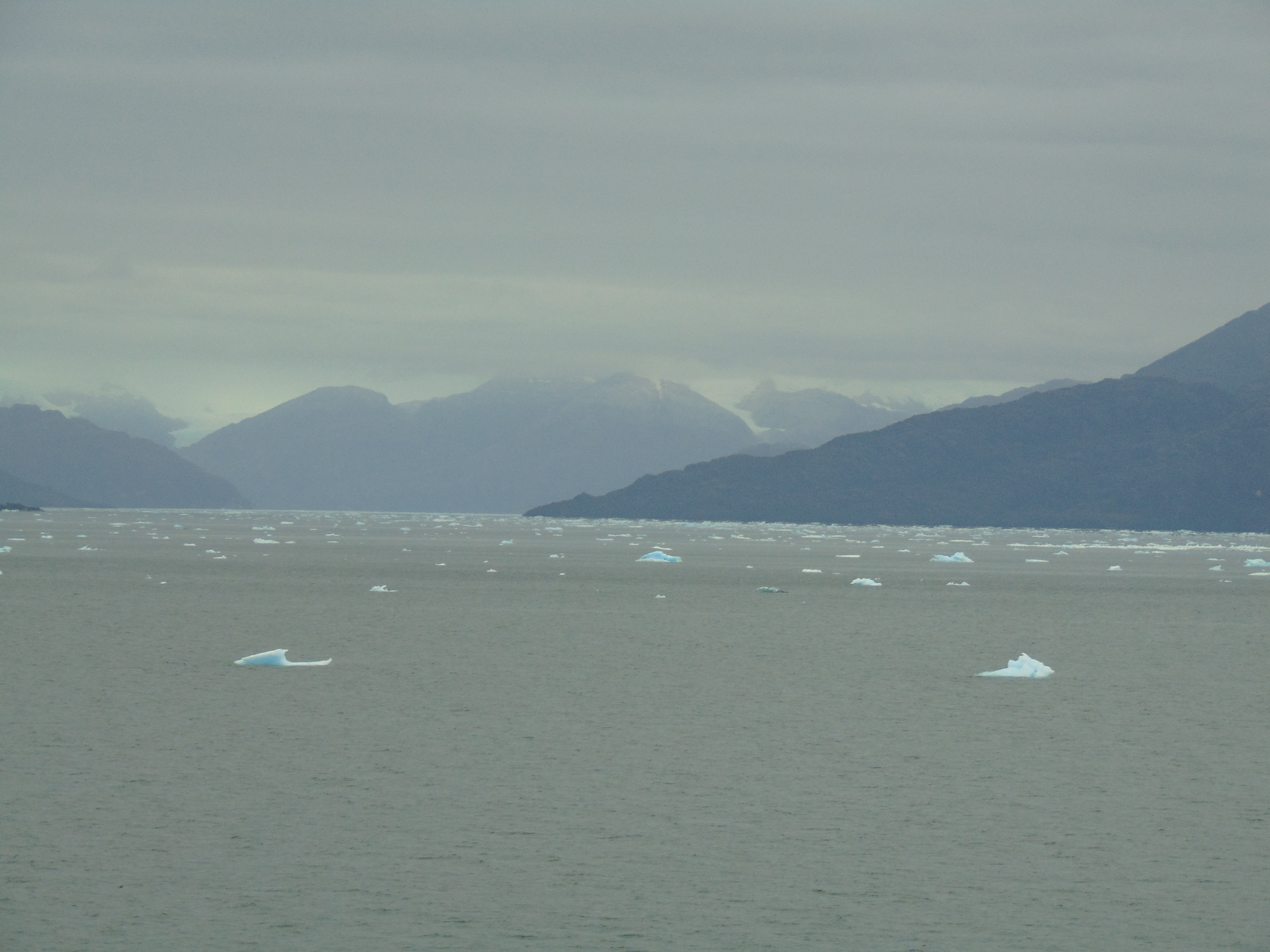
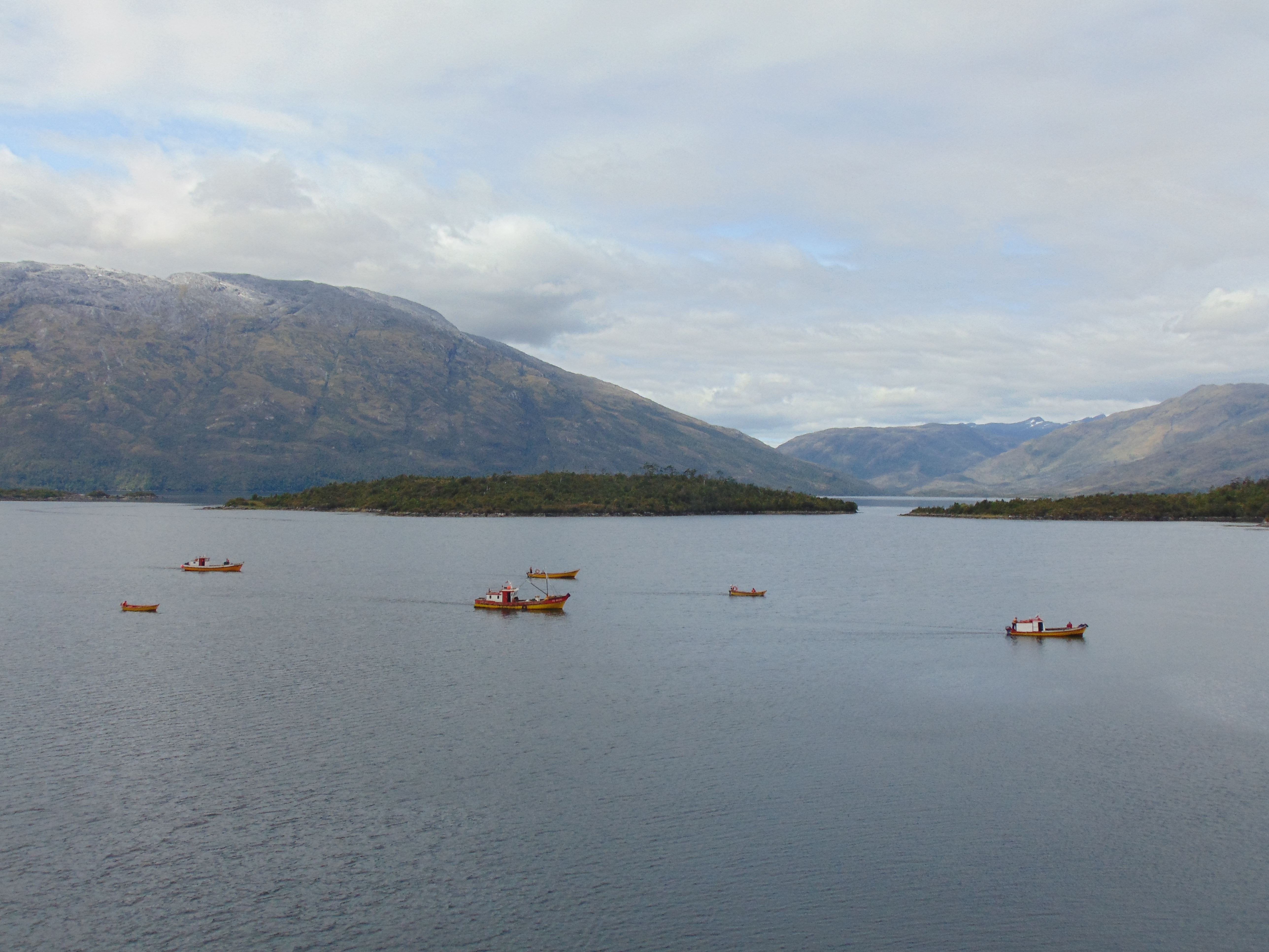
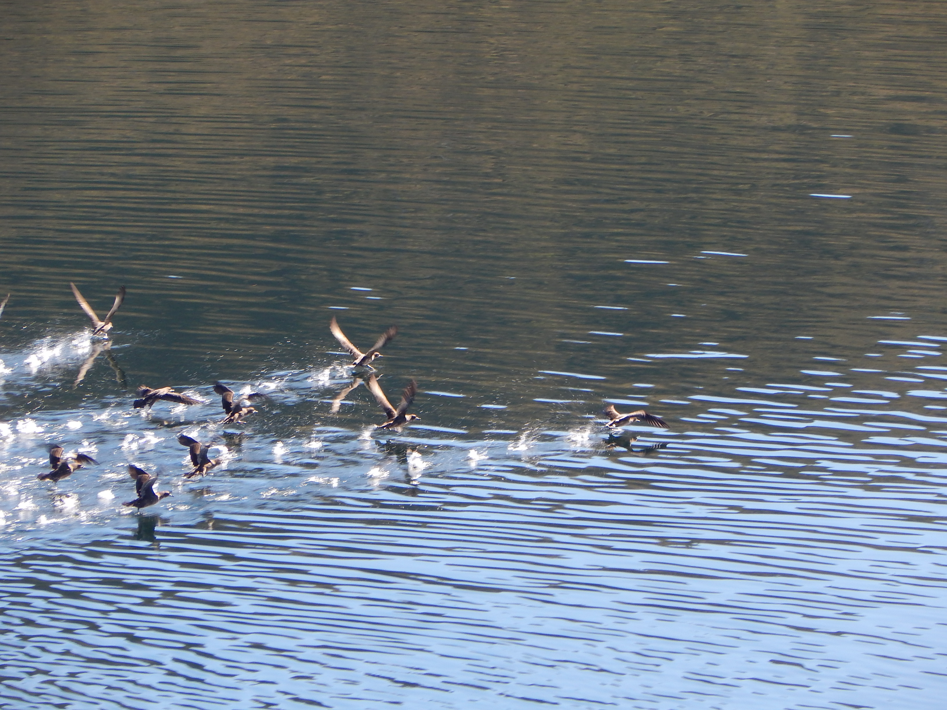
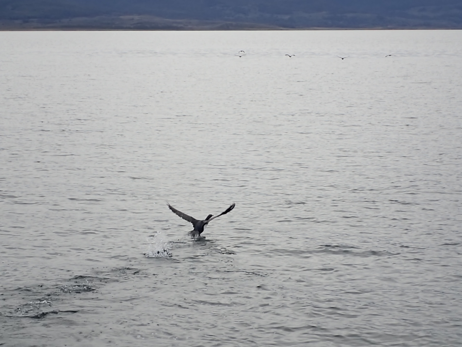
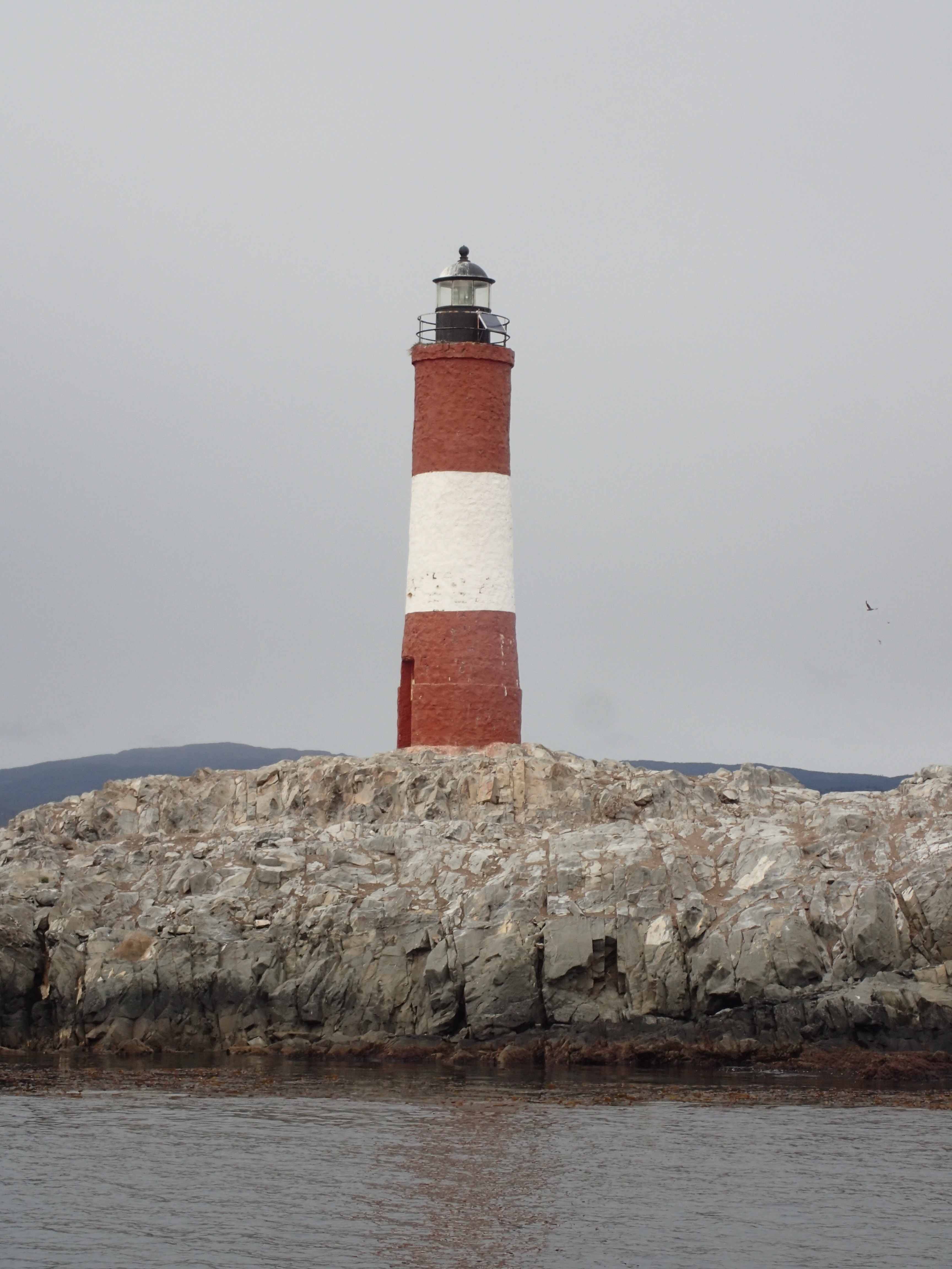
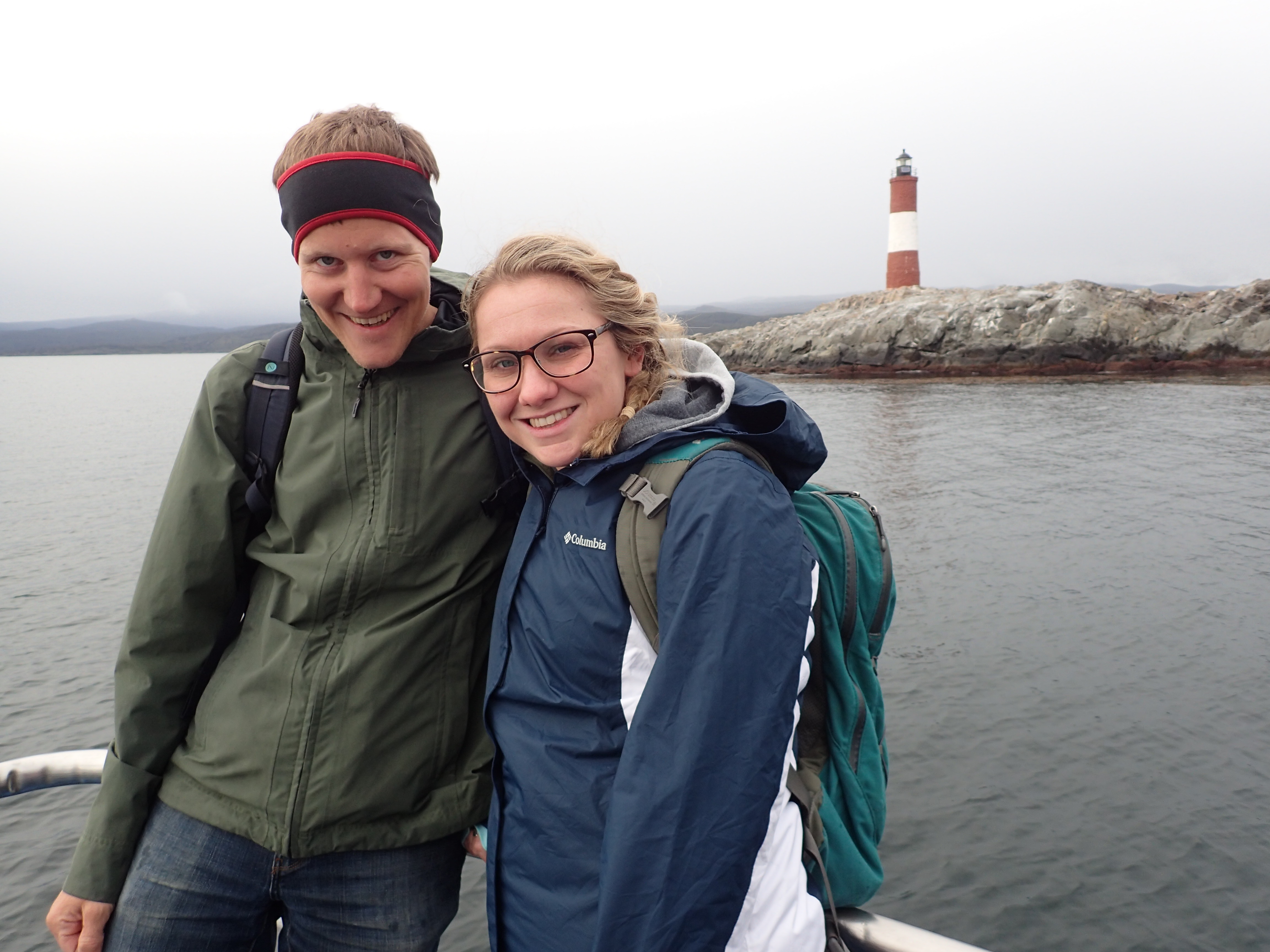
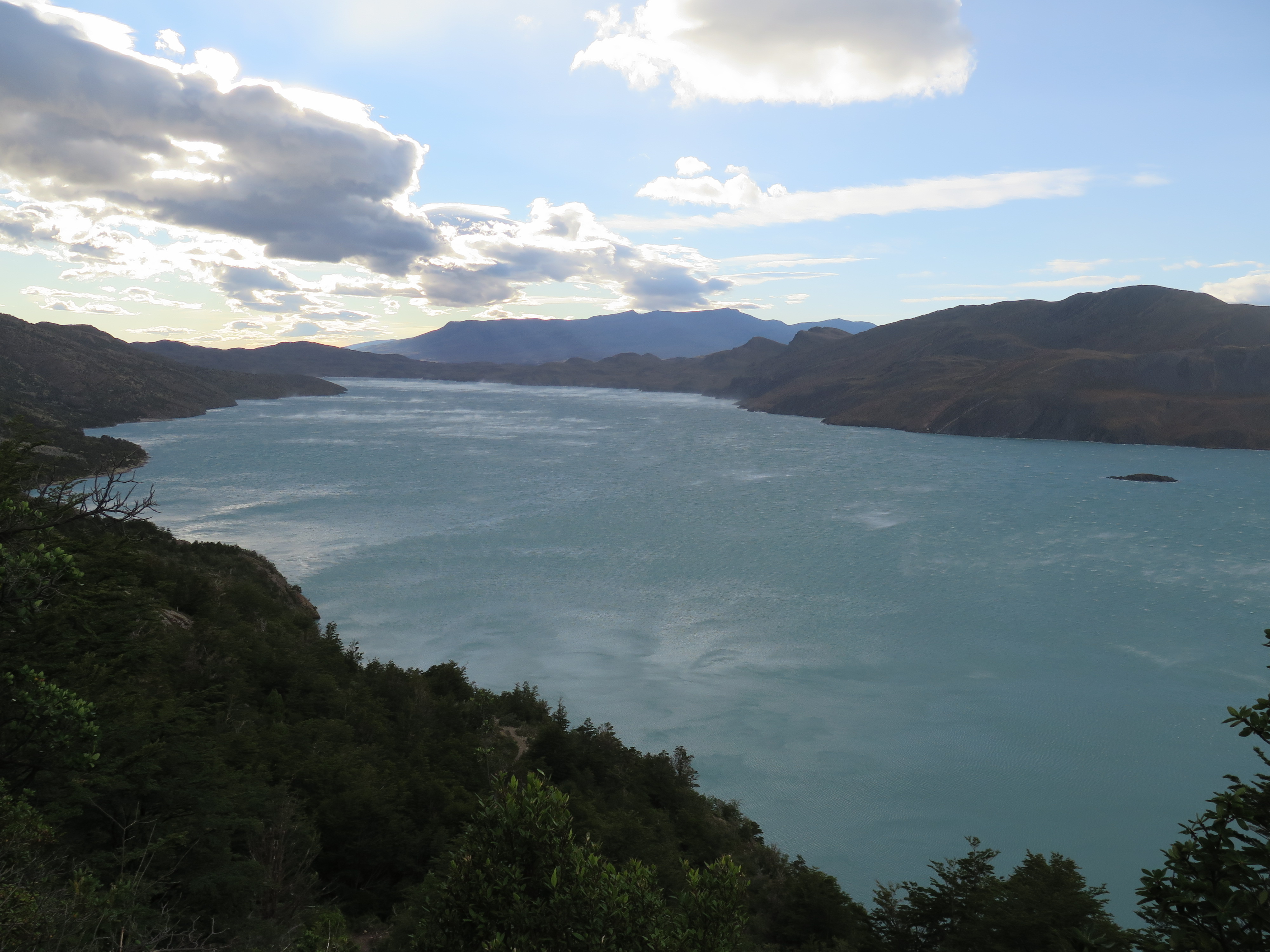
Incredibly clear view of the moon and starsPassing near a glacierLive animals being transported on the ferryNice clouds (Photo: Mark Fittes)Group picture, left to right: Ilona and Richard (http://riloplanet.wordpress.com), Mark, Leslie, me, Jeff.Lots of little boats at the intermediate stop in Puerto EdénJellyfish (Photo: Jeff Perry)Dolphins (Photo: Jeff Perry)Photo: Jeff PerryTwo of the horses died during the trip due to the scandalous living conditions (Photo: Mark Fittes)
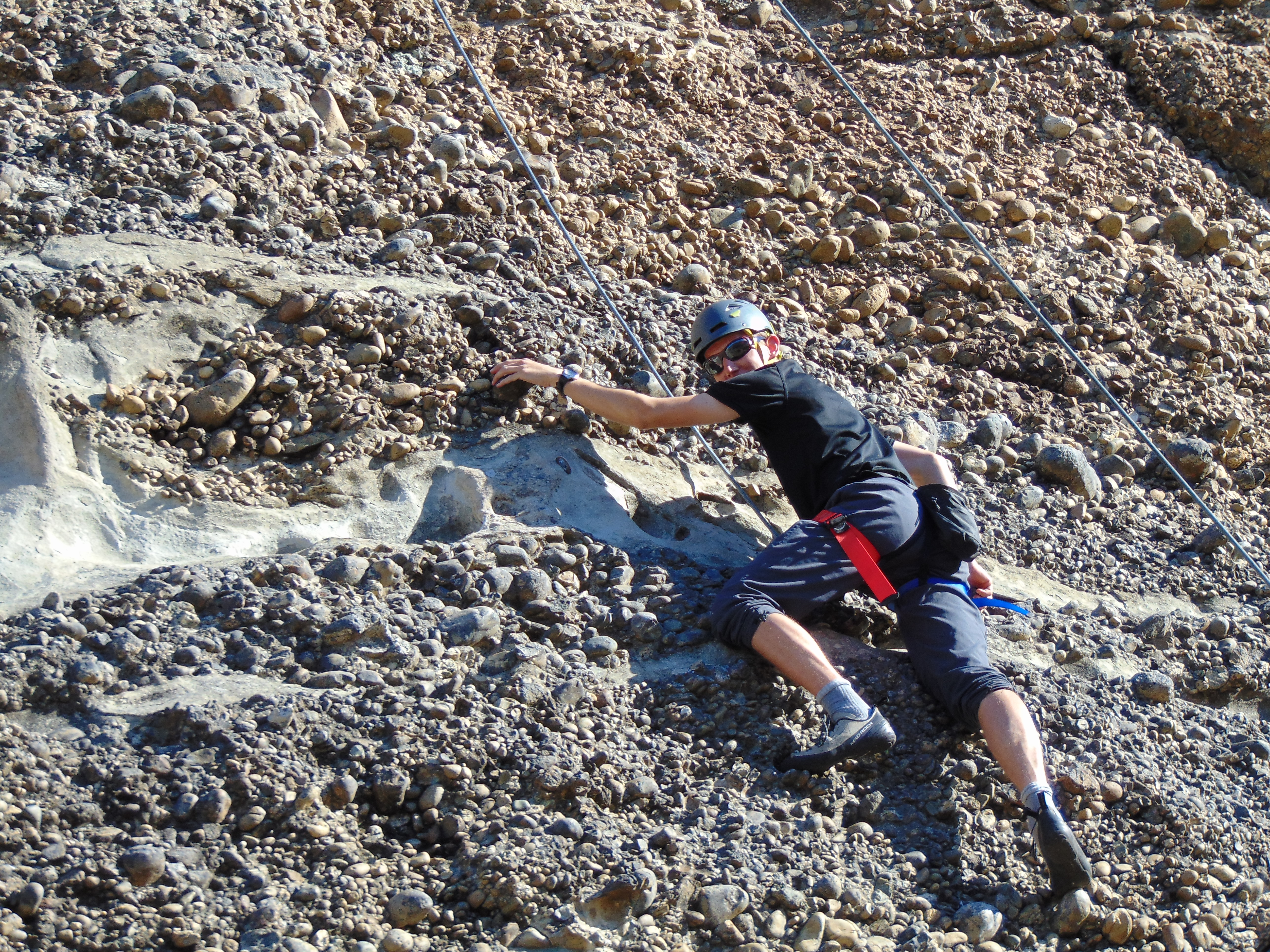
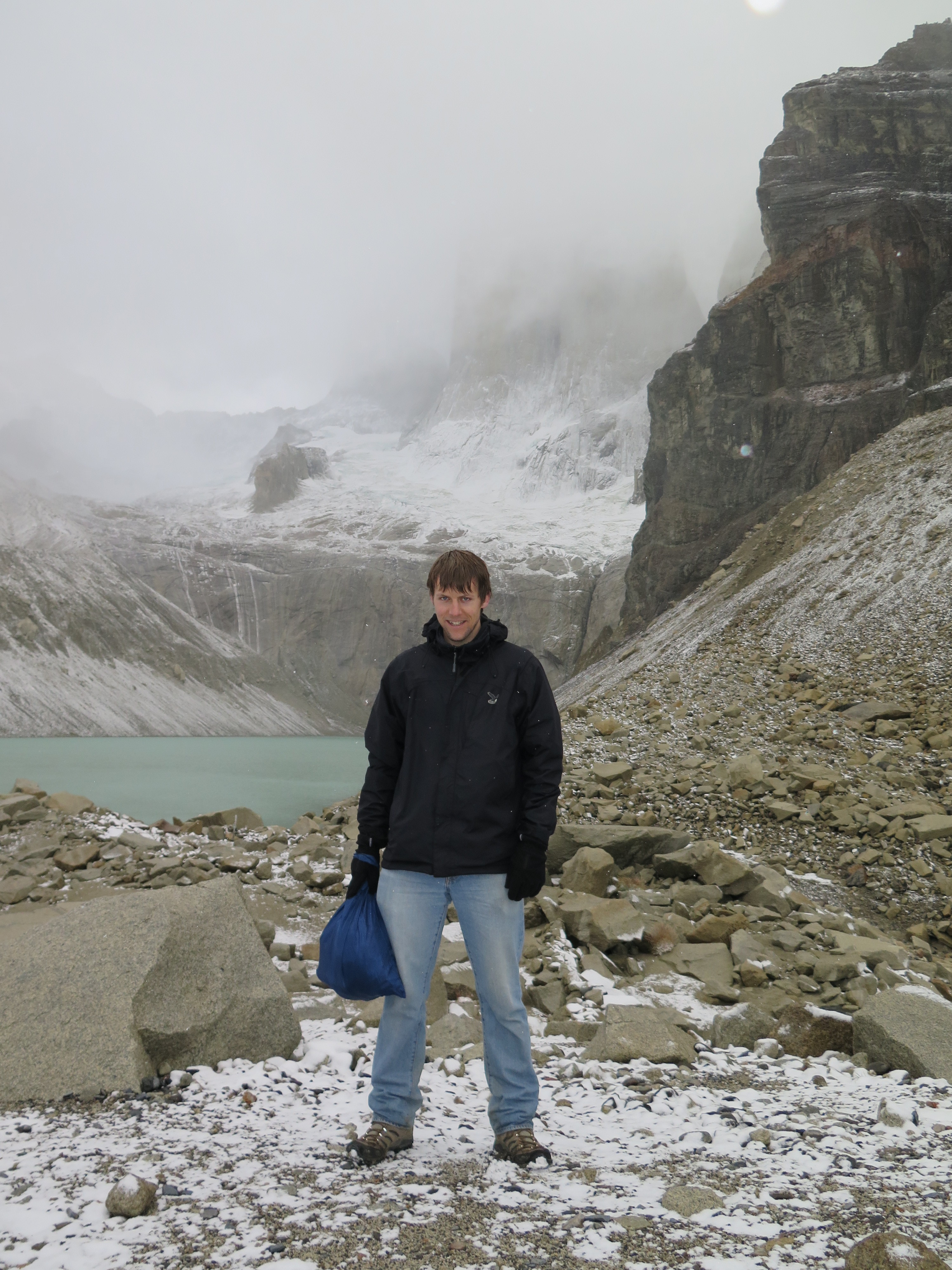
MAR 2, 2016 – After my three-day trek near Ushuaia, I had spent a day in Punta Arenas, where I enjoyed some downtime and didn’t see much of the city. Then I took a morning bus to Puerto Natales, where I wanted to check in for the Navimag ferry – only to find that it was delayed by a day, and the ferry company hadn’t succeeded to inform me about it. I had already planned to spend a night here, but now I had a day and a half on my hands. This time I stayed at Yagan House, which costs a little more than Rio Tindal, but is well worth it for the nice staff, decoration and breakfast. In a local tour agency, I saw an offer for rock climbing at nearby Laguna Sofia. After some negotiation, the owner suggested he could organize a private half-day trip there. The next day I went to Laguna Sofia with the owner and one other guide, who helped set up top ropes where necessary. The climbing was a lot of fun, and the difficulty level was just right for me – some routes feasible, others a bit too hard. And the whole thing cost me about the same as an entrance to one of the big climbing halls in Switzerland, so I felt like it was well worth the money.
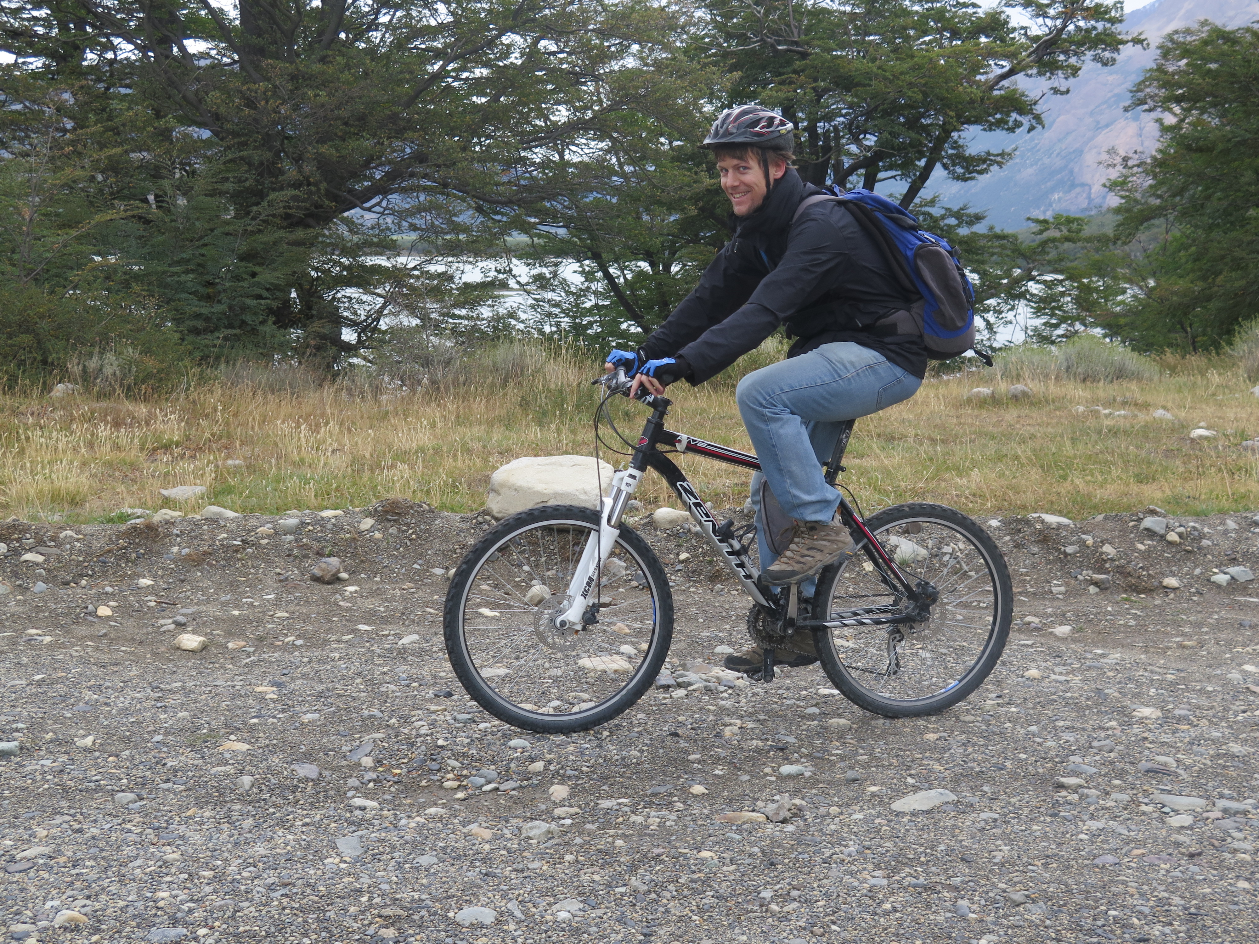
This trip was also the first test for my new Sony DSC-H300, one of the few cameras I could find in Puerto Natales. I decided that I could use a decent zoom for the upcoming boat trip, so I bought this mediocre camera.
Looks like someone was here before (Phone picture, day 1)
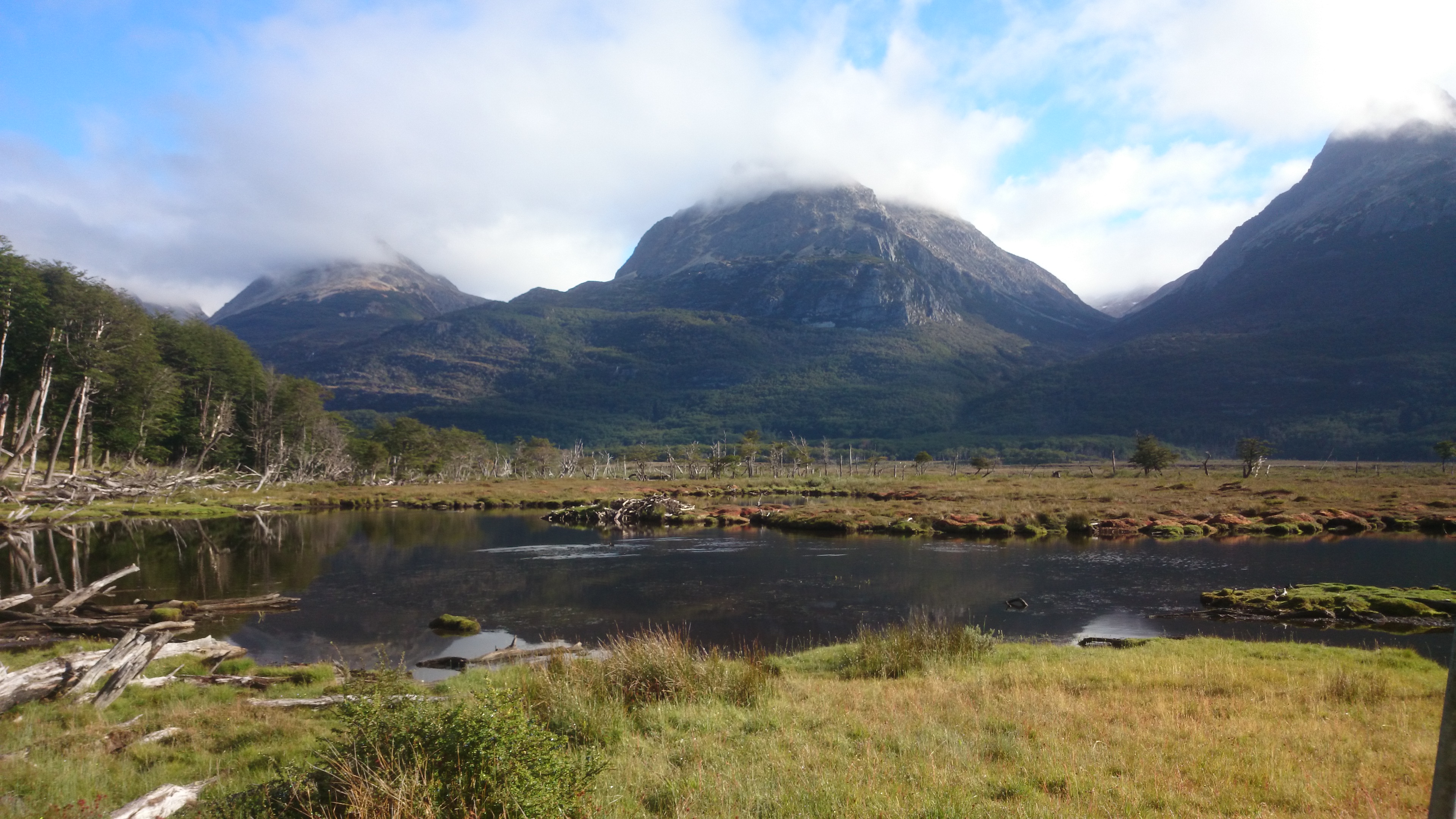
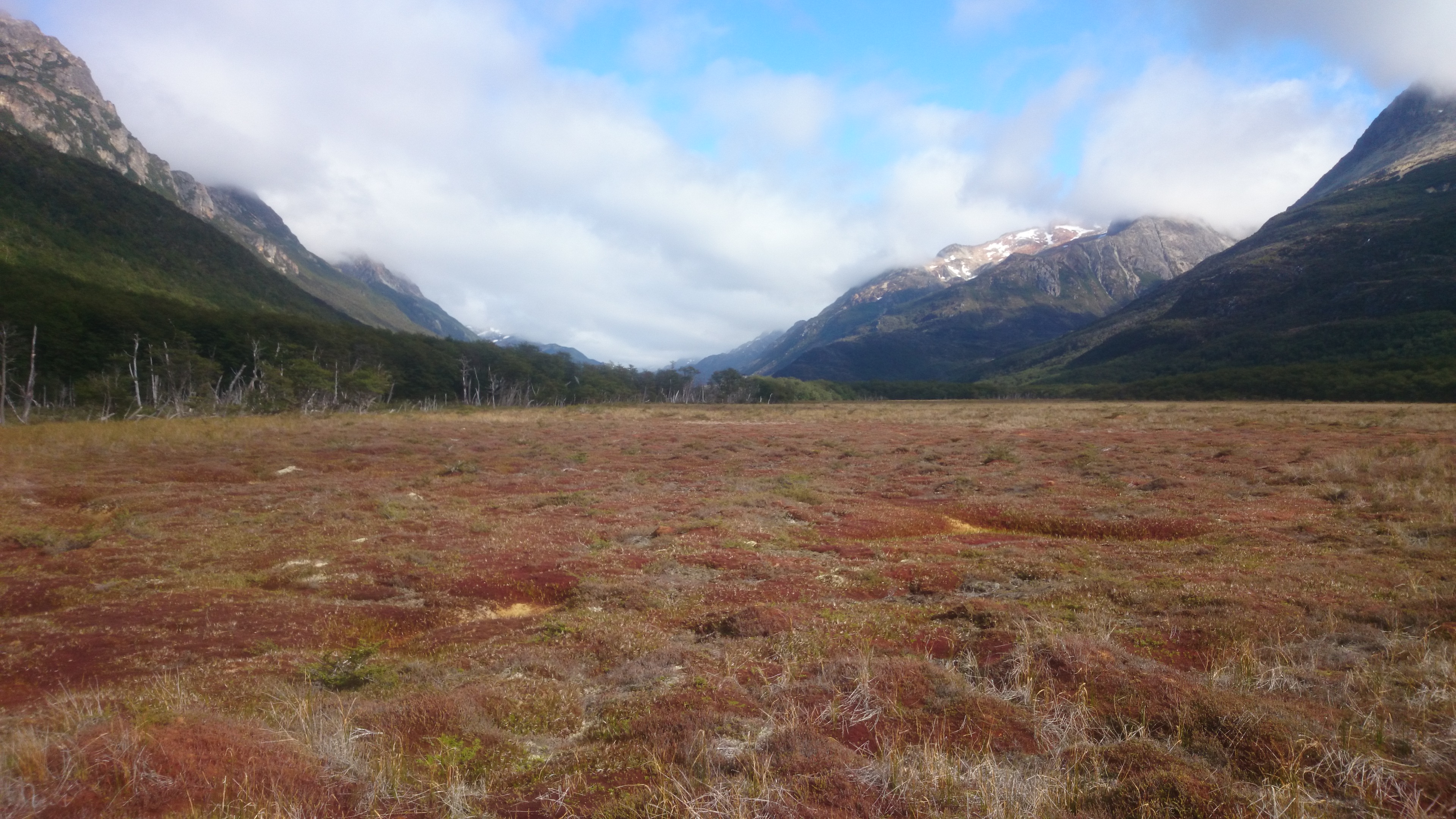
FEB 28, 2016 – I had left with the usual supplies for a three-day trek. Due to time constraints I didn’t manage to organize any printed maps, so I just had my phone & tablet with me, which both contained the OsmAnd app with a GPS track of the trek I wanted to do. I had also taken a photo of the map in my friend’s book – a 1992 edition of “Lonely Planet: Trekking in the Patagonian Andes”. After my good experience with OpenStreetMap in previous treks – notably Salkantay – I decided that this had to suffice as map material. After a night on a free campground, which I shared with a few horses, I started hiking. It later turned out that I went the opposite direction to the one described in the Lonely Planet book. The first two hours or so were quite easy, the weather was good and the landscape breathtaking.
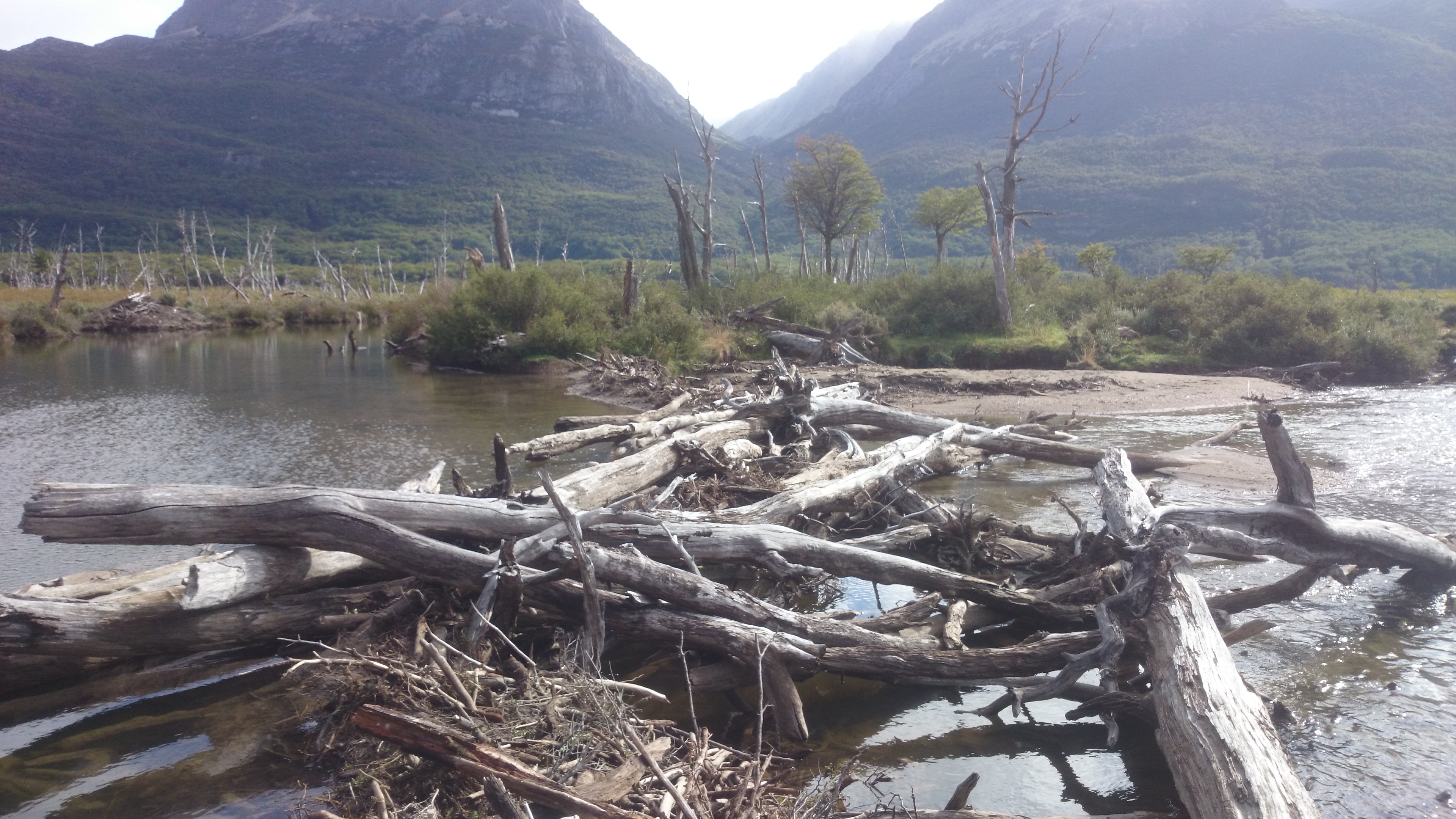
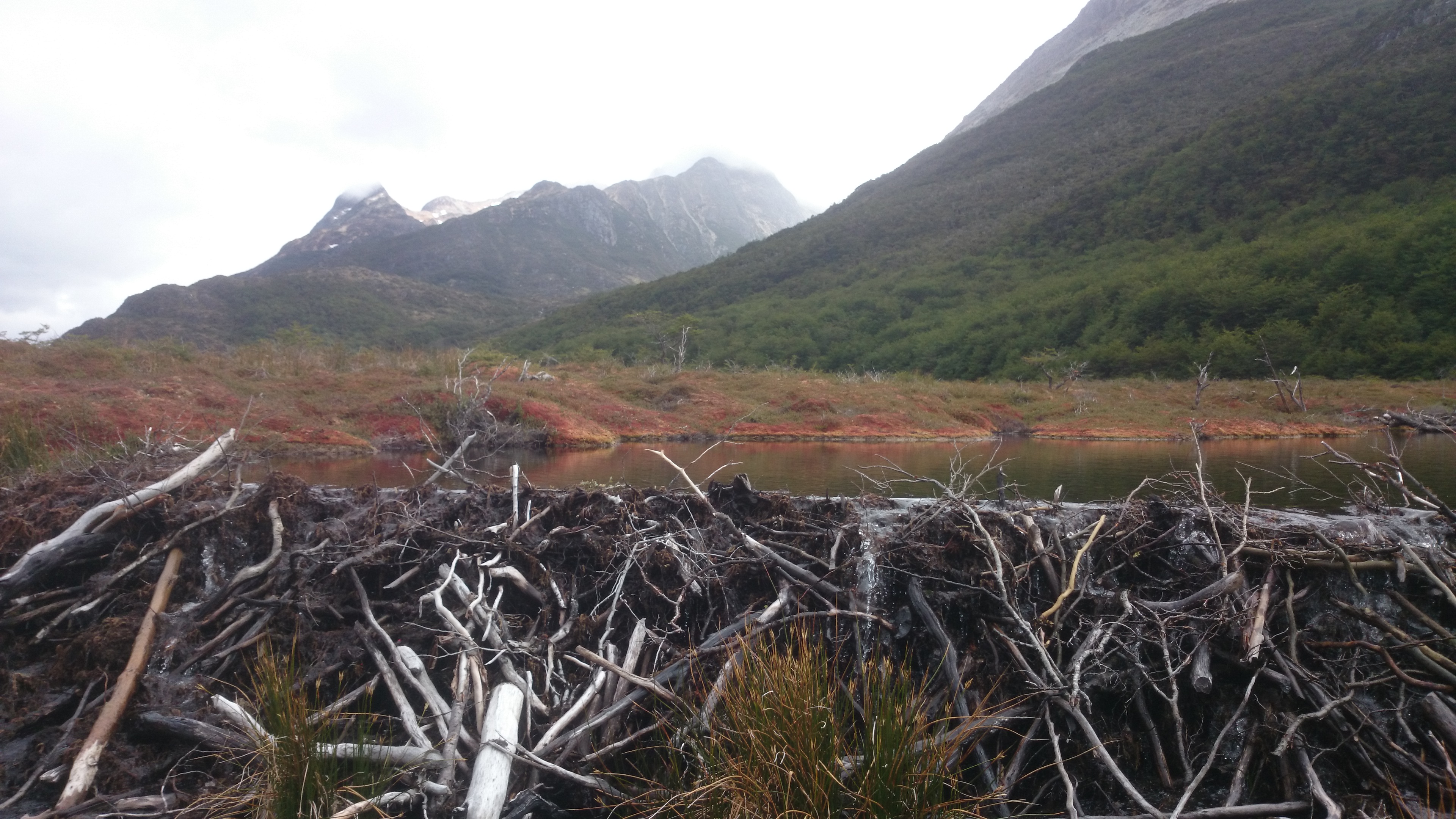
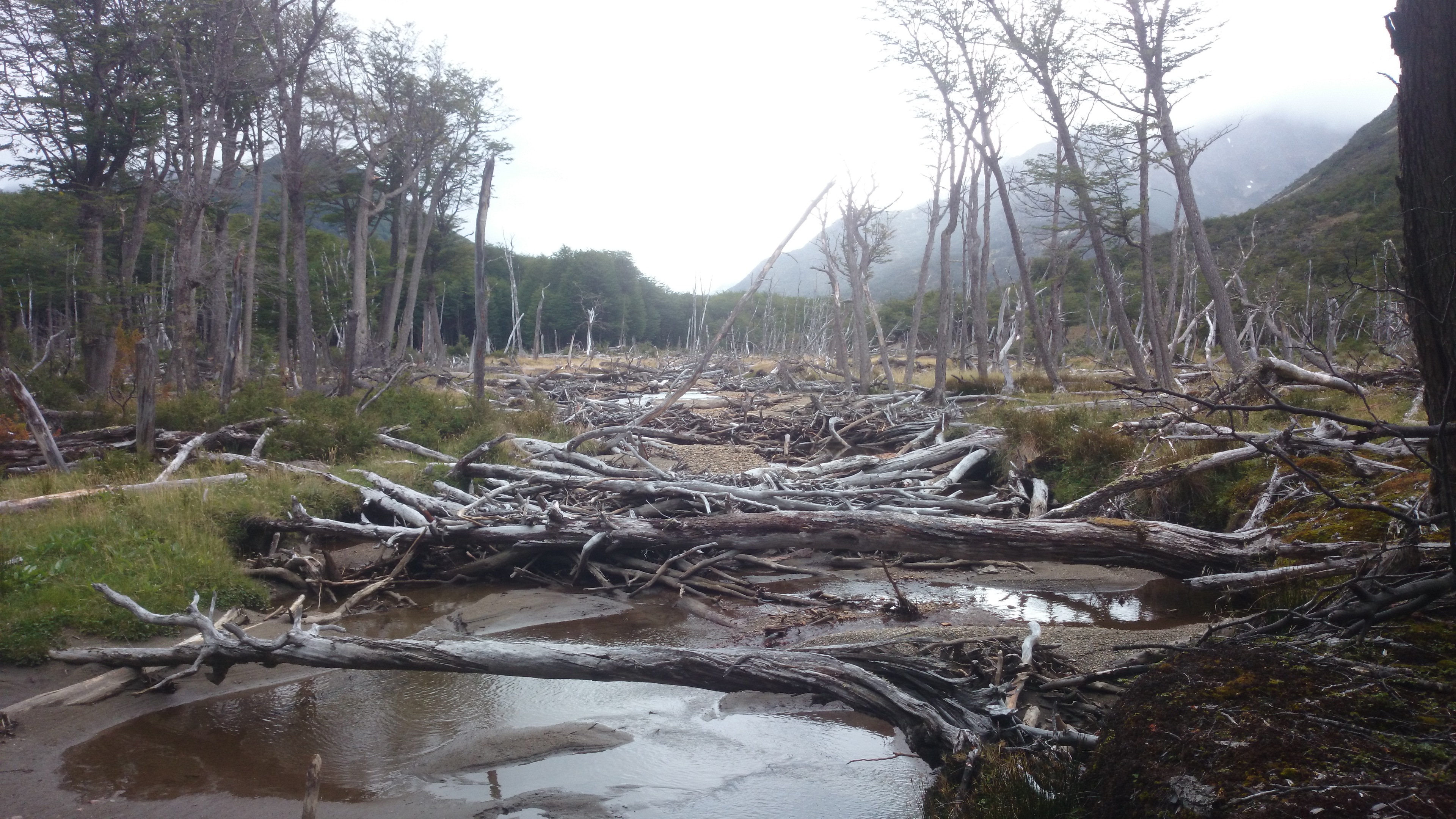
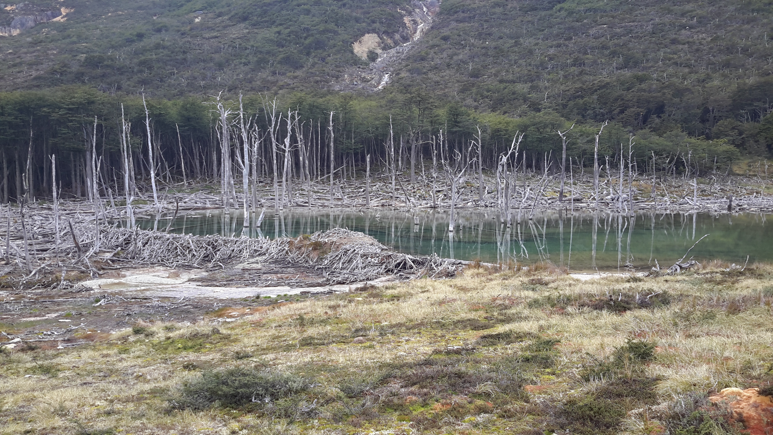
At some point, I suddenly realized that my GPS track was crossing the river, while the trail was not. I found a way to cross over a beaver dam, only to find that there was no trail on the other side. From then on, I was dependent upon my path-finding skills and the batteries of my devices. Due to the heavy beaver activity – the North American Beaver being a plague in this area – the landscape seemed to be ever-changing. Luckily I just had to follow the river and turn right at a little creek flowing into it. Still, it was quite hard work, crossing many creeks and climbing over lots of fallen trees. By late afternoon I had reached the turnoff and hiked uphill to a nice lake near Valdivieso Pass. I spent the first night there in perfect solitude.
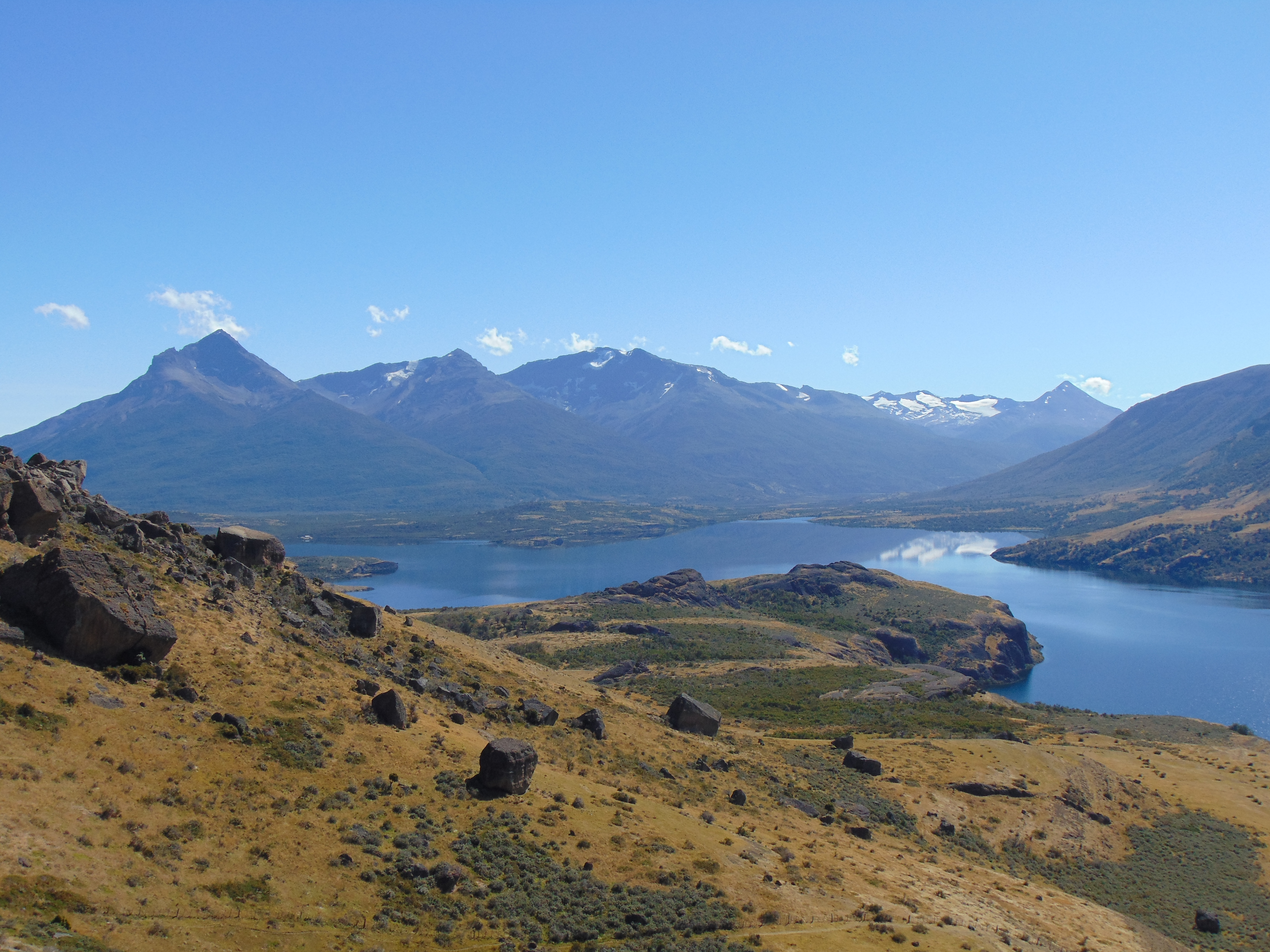
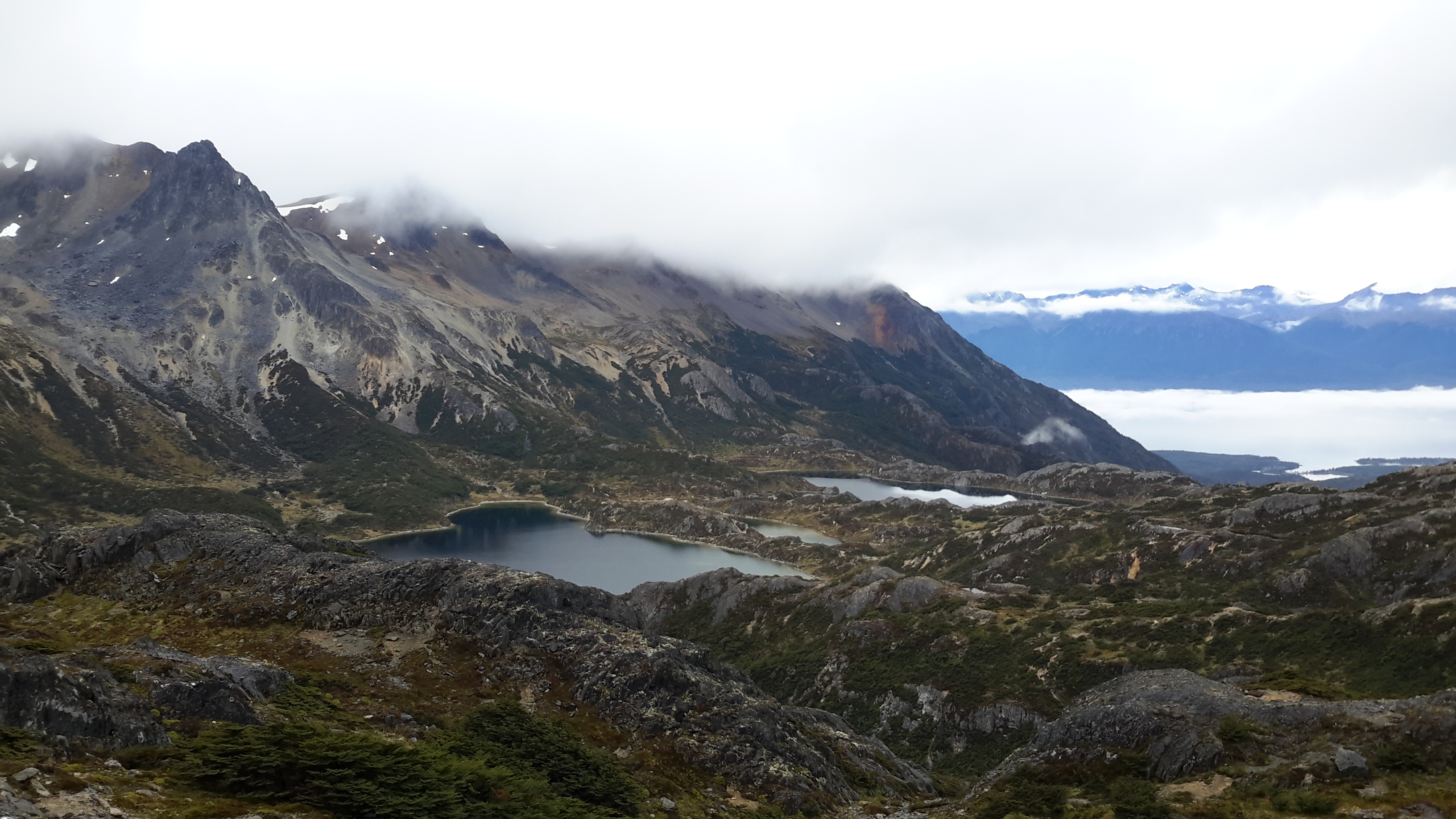
The next morning I considered my options and decided to keep going for as long as I found the way – even after another half day, I could still go back the same way if I ran out of battery. But it turned out to be a difficult compromise – I got lost several times because I didn’t want to keep my tablet out the entire time, and I couldn’t read ahead much since the map didn’t contain any useful details. At some point I realized that the more rocky parts of the hike were marked with cairns. In the late morning I met a group of Polish hikers going the other way, which gave my motivation a boost. They had an e-book of the current edition of “Trekking in the Patagonian Andes”, which they shared with me via Bluetooth. Here the trek was described as requiring four days rather than three, but given the distances, I was confident that I was on track for three. I even considered walking past Laguna Esmeralda, which looked like a worthwhile detour.
I passed the rocky part and came into flatlands again towards mid-afternoon of day two. It started raining, which meant I had to wipe my tablet dry every time I checked the map. When I was ready to set up camp, I suddenly saw a wooden hut appear in the distance. The surprise was perfect: This was Refugio Bonete, a little hut built by an individual for public use. It was described as the place to spend the first night in the LP book, but my map didn’t mention it. From here it was not far to go! I made myself comfortable, started a fire in the little wood stove and hung up my tent to dry. The next morning the weather still didn’t look too good and I took the direct route back to the main road, which was only about two hours. So in the end I had done the “four day hike” in not even two days and a half. Despite the difficulties, I highly recommend this gorgeous trek – but please bring a proper map, a compass, and some extra food.
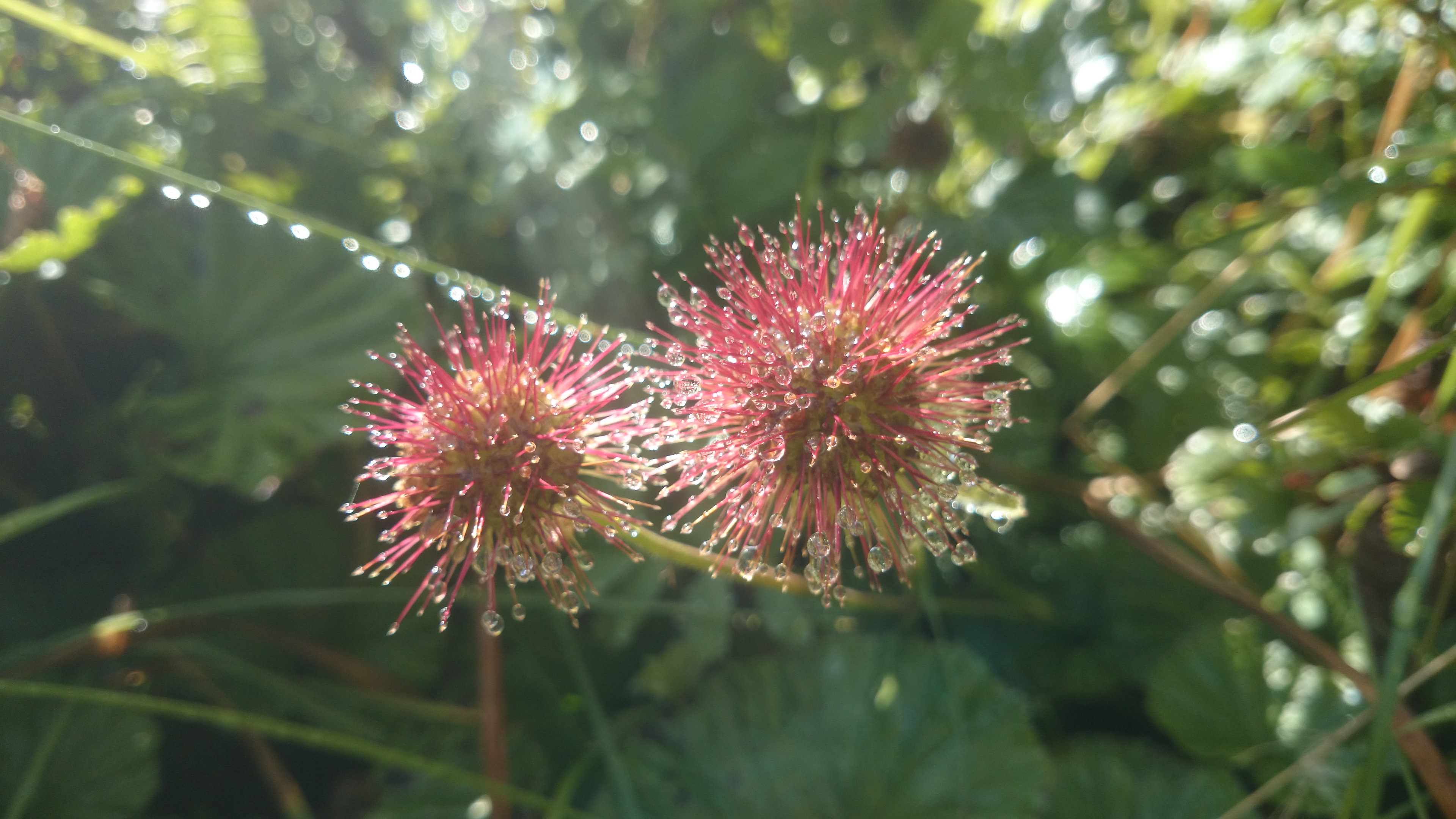
The first morning (Phone picture)Sundew on day 1 of the hike (Phone picture)Day 1 (Phone picture)One of the large beaver dams (Phone picture)A bog I crossed on day 1 (Phone picture)A flooded forest on day 1 (Phone picture)
Breathtaking mountain views on day 2 (Tablet picture)Another beaver lake on day 2 (Tablet picture)Refugio Bonete (Tablet picture)
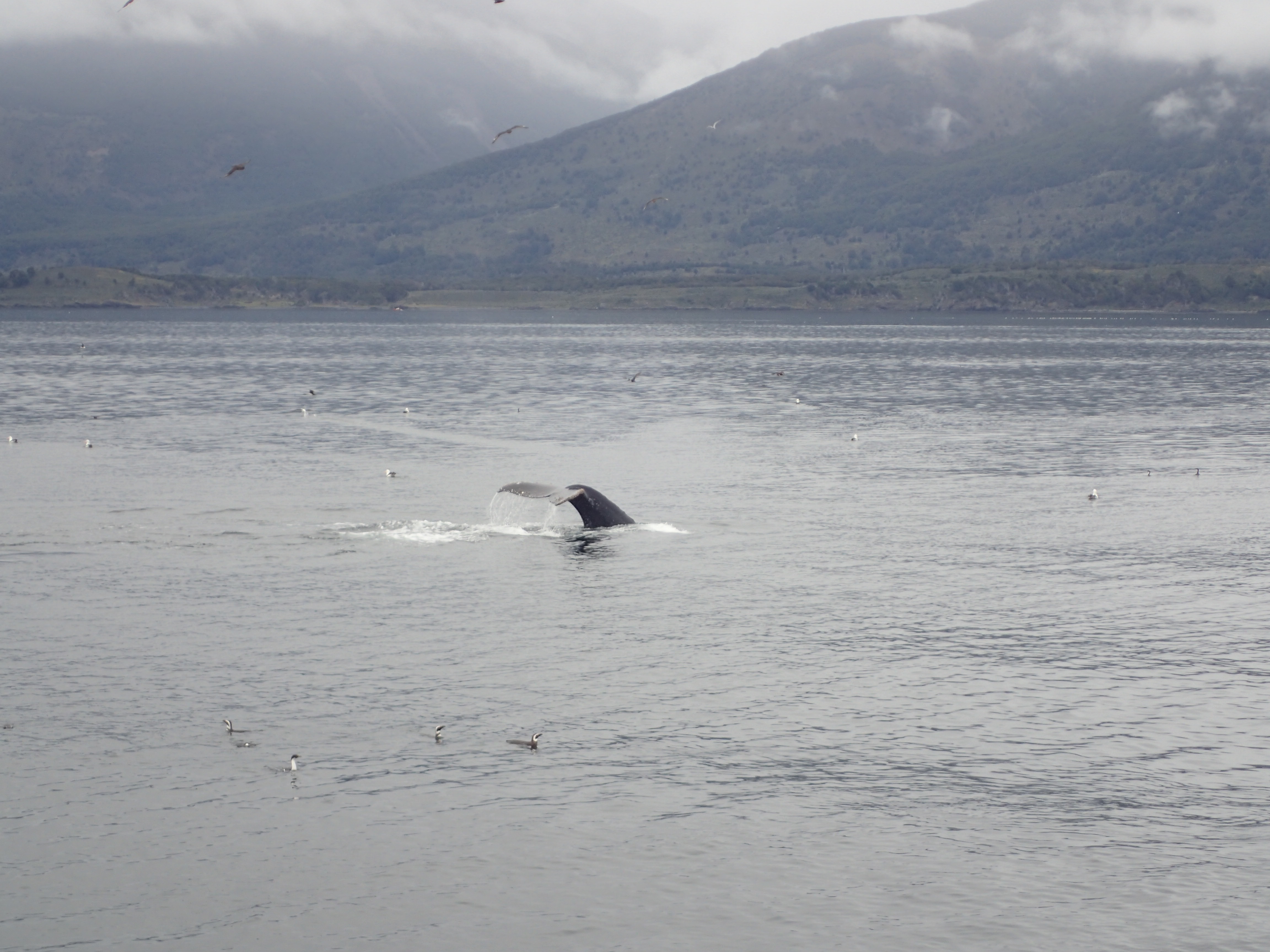
FEB 25, 2016 – My first day in Ushuaia was spent mostly on a boat. With Charlotte from the UK, whom I met at a hostel the previous evening, I went on a cruise to see the local birds and penguins. There weren’t as many as in Peru, but it was still impressive, and the boat was much more comfortable. And we saw some whales, too! The same evening I went to sleep in my tent on a public campground about 15km from Ushuaia, in preparation of a three-day trek.
Pictures taken with Charlotte’s waterproof Olympus TG-4.
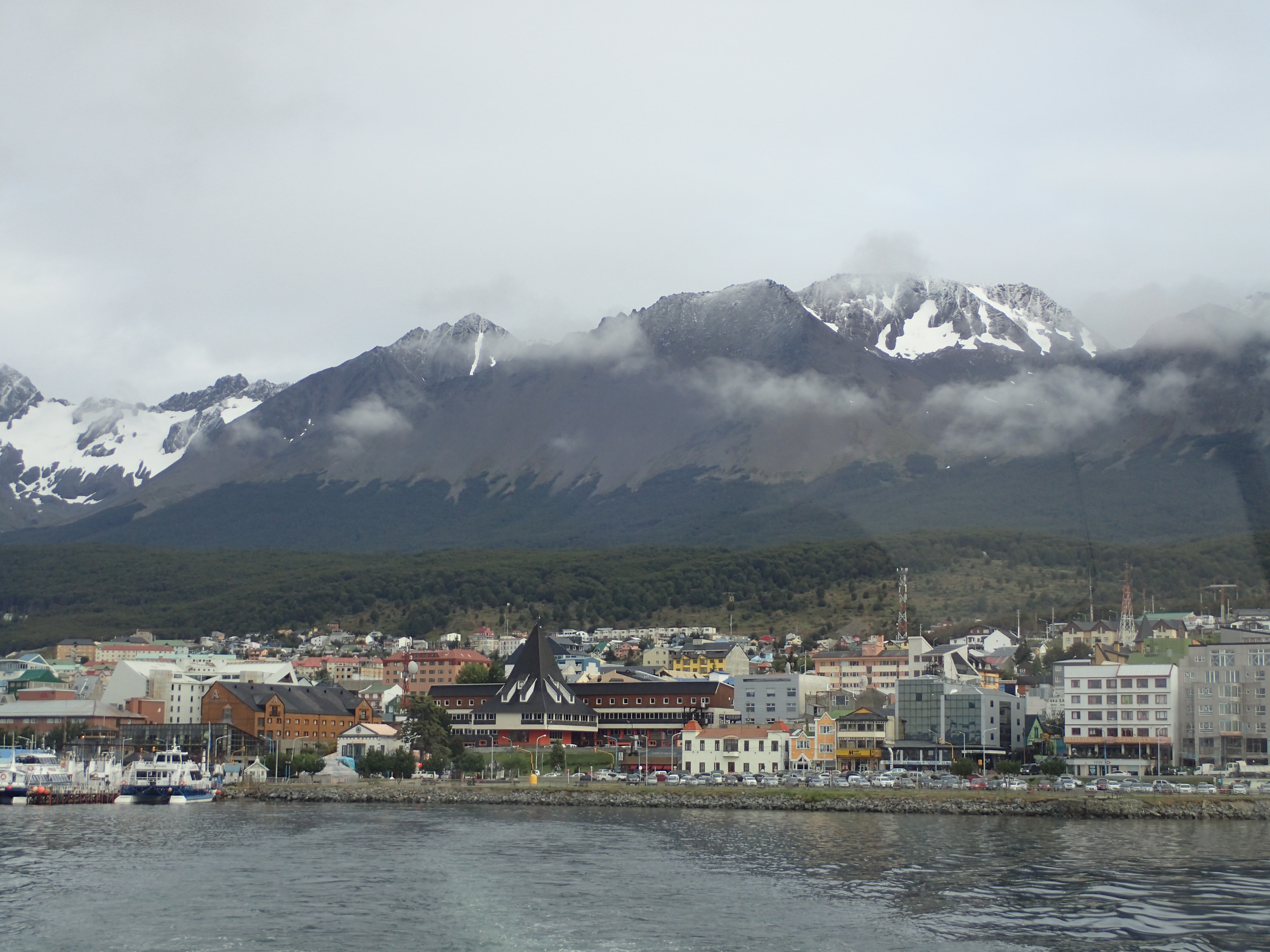
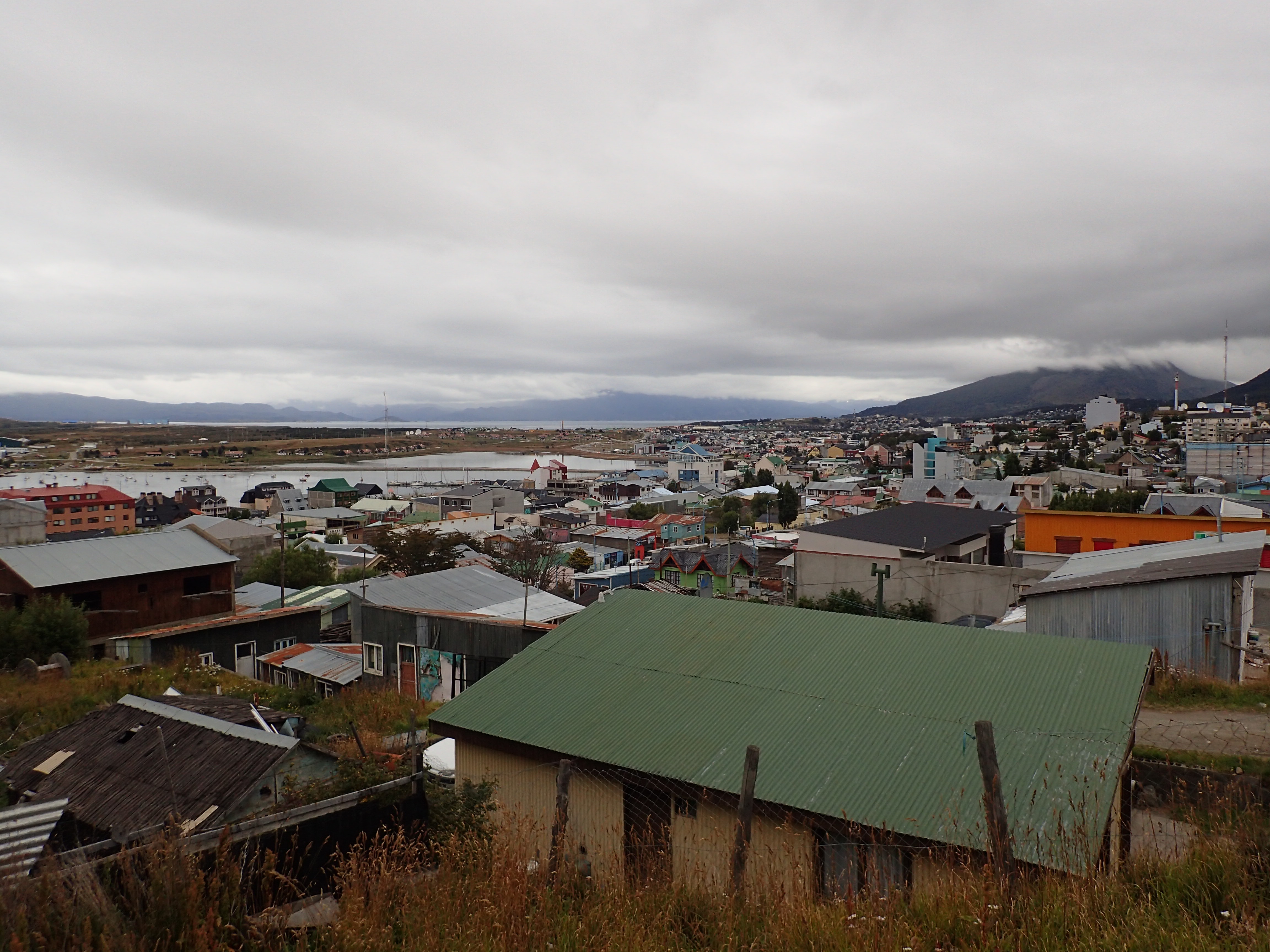
Ushuaia in the morning
Usuhaia is still an important port for boats calling at Antarctica, among others
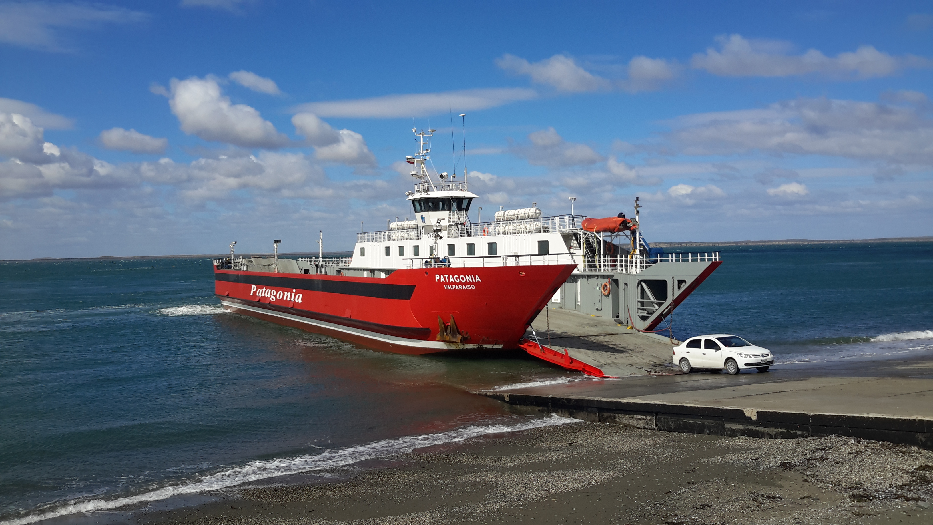
Ferry crossing the Strait of Magellan at Punta Delgada (Phone picture)
FEB 24, 2016 – While Roman was flying back to Buenos Aires, I spent another day in El Calafate – the bus to Ushuaia only ran at night, and I had to wait for some clothes I had forgotten in El Chaltén. At La Tablita, I ate Patagonian roasted lamb for lunch – a real treat. I got ready for almost 24 hours of sitting in a bus, with a short break in Rio Gallegos, a ferry crossing, and two border crossings: While Ushuaia is on Argentinian soil, the Western half of Tierra del Fuego is Chilean. By now I knew that Chile is very picky about produce crossing its borders, but I was still a bit surprised when even dried fruit was confiscated at the entry point. After a long bus ride through spectacular landscapes, I arrived at the “End of the World”. Besides Ushuaia, two places in Chile also compete for the title of “world’s southernmost city”: Punta Arenas further north, which feels more urban (but at a population of 57’000, Ushuaia has every right to call itself a city), and Puerto Williams further south, which, at a population of 2’874, should probably go back to calling itself a village.
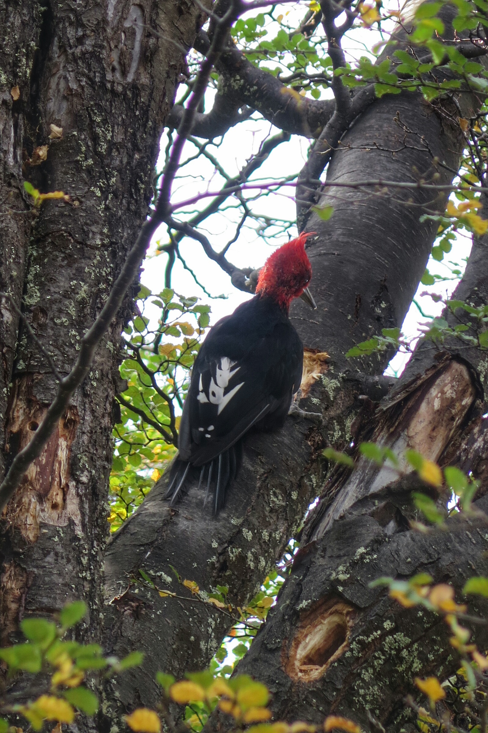
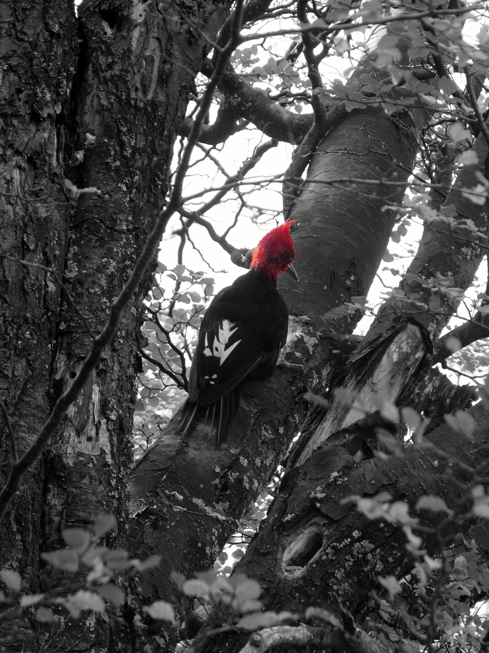
Male Magellanic woodpecker, observed near El Chaltén.
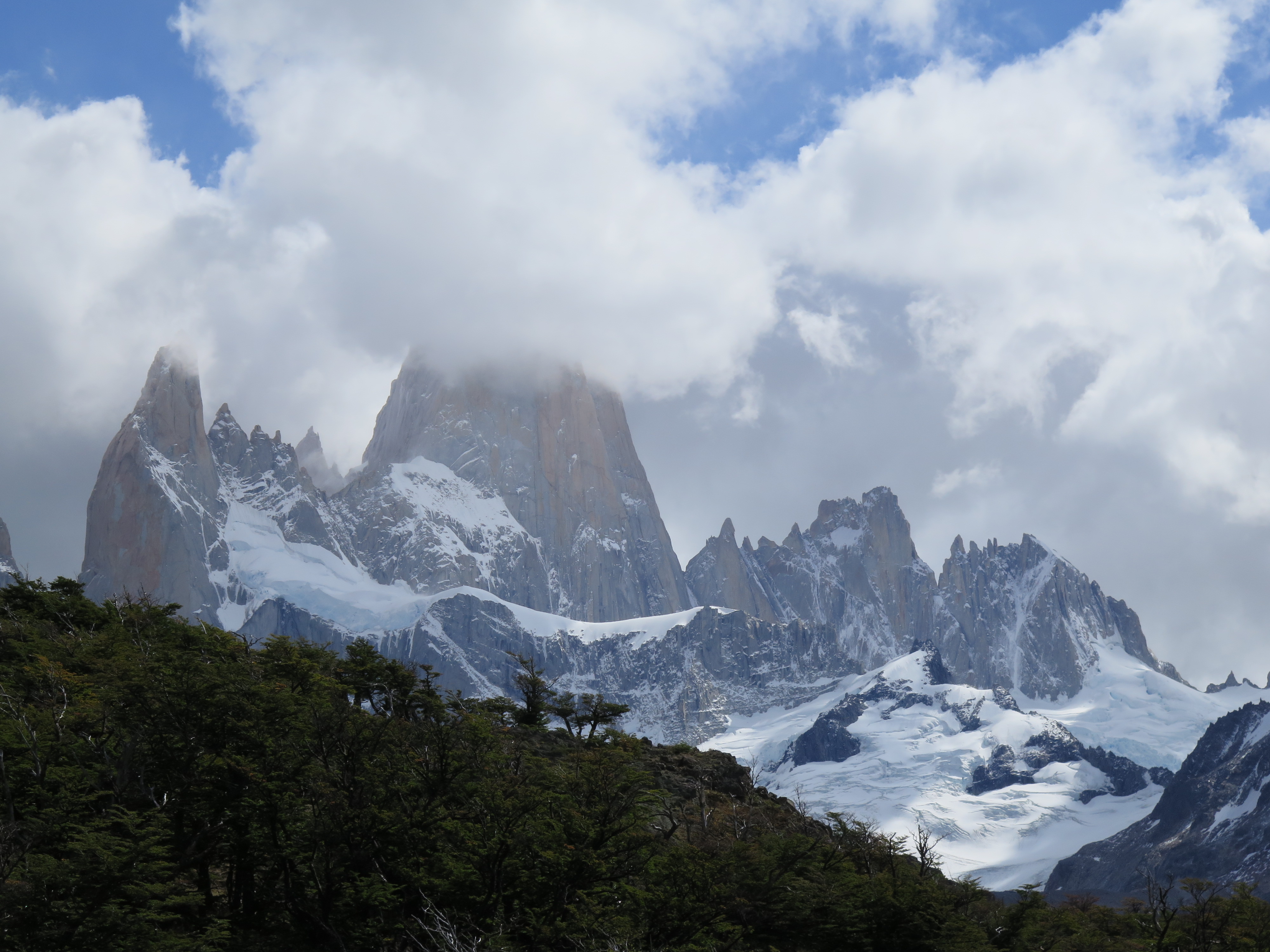
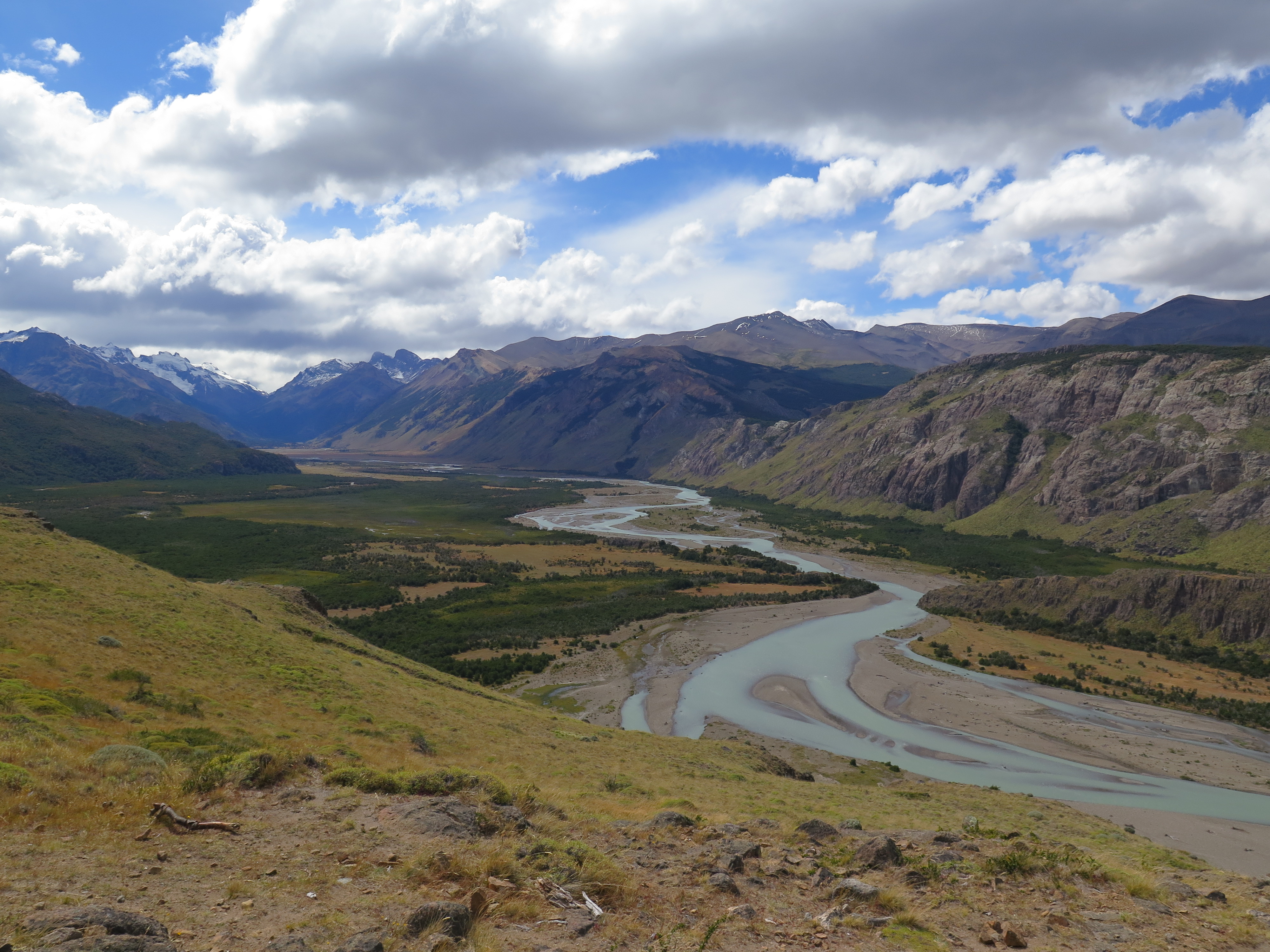
FEB 23, 2016 – The village of El Chaltén is unusual in many ways. Located in the middle of a National Park, it houses almost exclusively trekkers from all over the world and their hosts. All tourists wishing to enter El Chaltén receive a briefing at the park’s visitor center first. The rules are strict: Park rangers posted at the trailheads make sure nobody starts ascending too late in the day, and both trails and camp grounds can be closed in difficult weather conditions. Treks outside the trail network – which includes only one peak, the Loma del Pliegue Tumbado – require a wilderness permit and complete gear for trekking and/or rock climbing. Many hikers are fascinated by the views of Mt. Fitz Roy and Cerro Torre, which can be observed from several viewpoints, weather permitting. Others, like me, don’t mind looking at some peaks but also want to reach the top eventually…
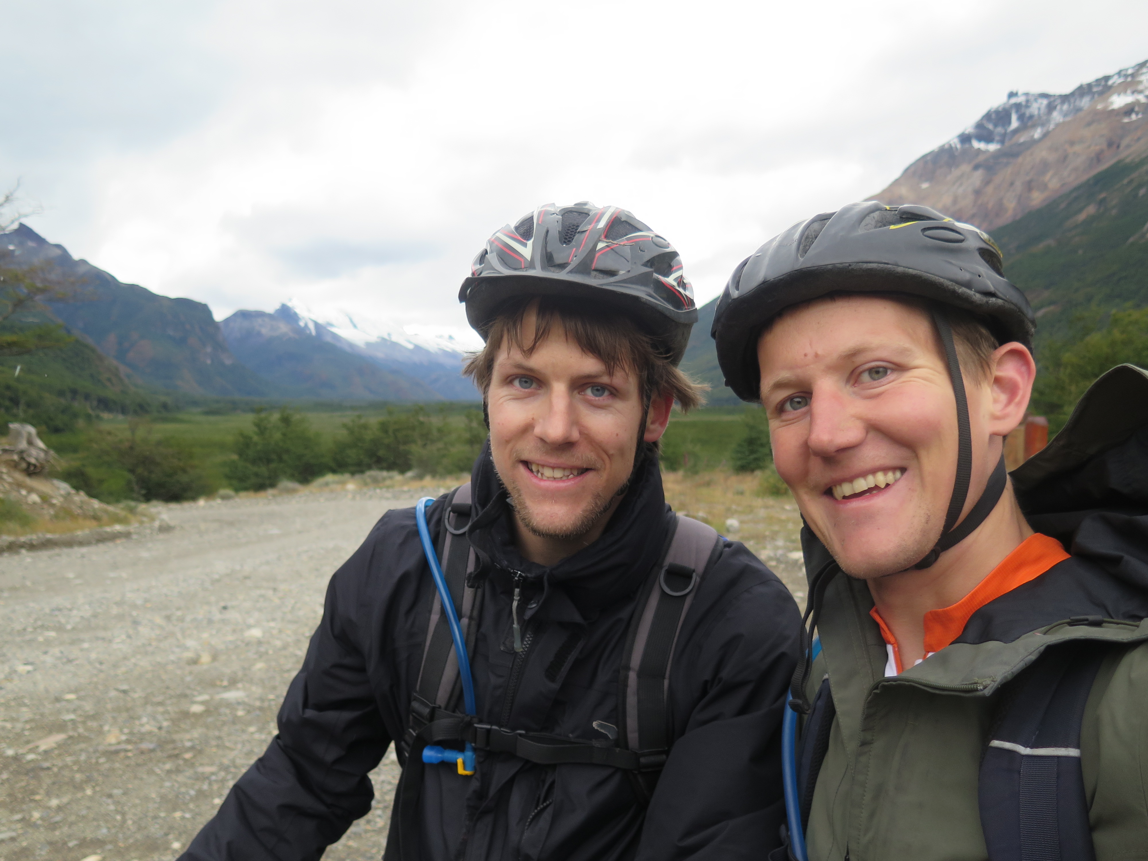
In the three days Roman and I spent at El Chaltén, we hiked most of the official trails and went on a mountain bike trip along Rio de las Vueltas. Due to bad weather conditions and limited time, we didn’t really consider doing a wilderness trek. Luckily we found a cozy hostel called La Comarca, where we played card games in the evenings with fellow backpackers. The hikes were nice, but I really thought that “hiking capital of Argentina” is not an appropriate title for this village – while there are many options for rock climbing and wilderness trekking here, the ones for hiking are very limited and the trails crowded. Bariloche, further north, is a better place to go.
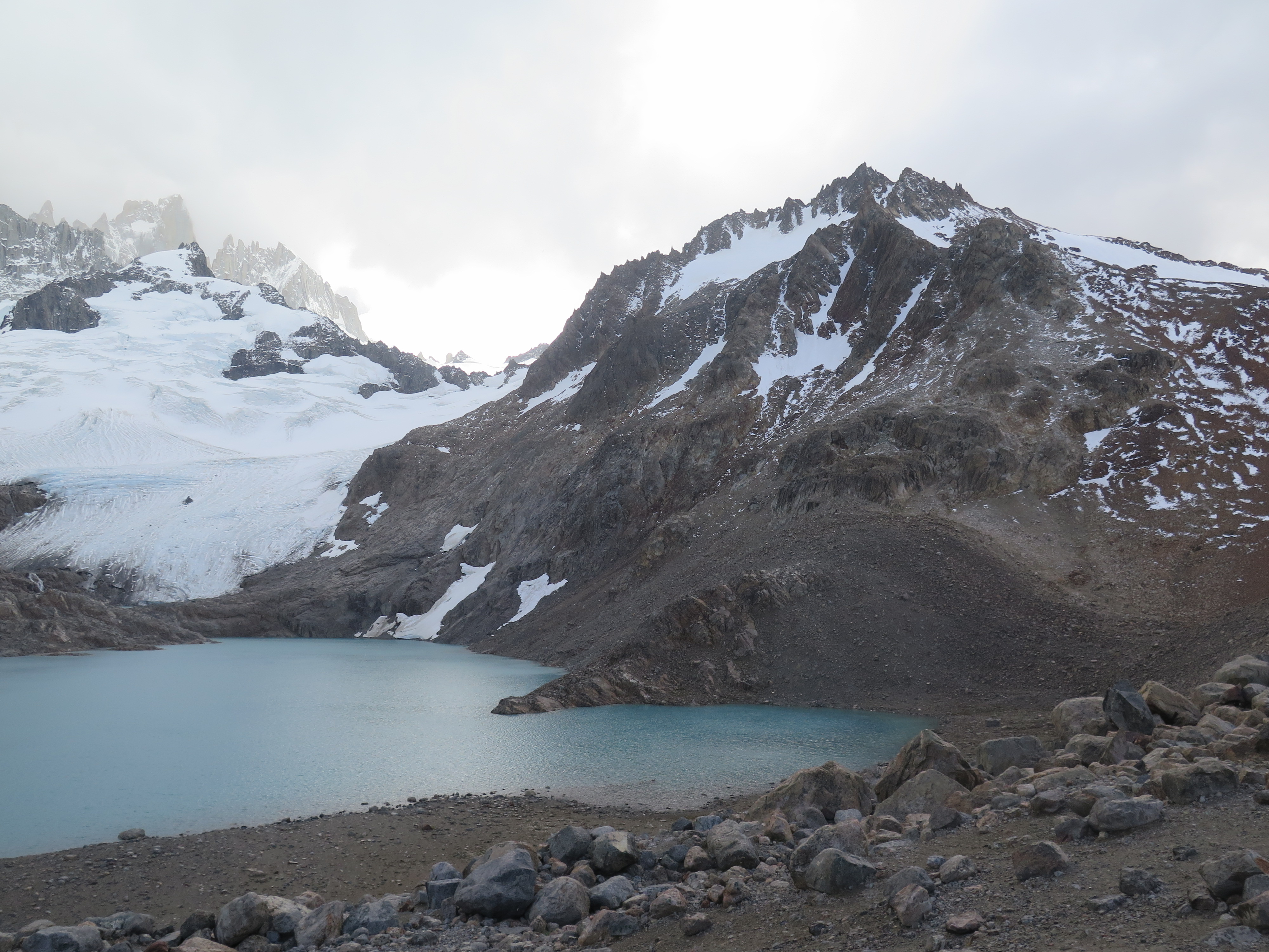
Mt. Fitz Roy hiding in a cloudView of Rio de las VueltasPossibly a juvenile example of the Southern Crested Caracara, seen at Capri campgroundLaguna de los Tres, below Fitz RoyEnd point of our mountain bike trip
Noah’s arch? Seen in El Chaltén.
A more artistic version of the Magellanic Woodpecker photoPiedras Blancas
FEB 18, 2016 – After another night at Hostel Rio Tindal in Puerto Natales – sleeping in a dorm this time – we made our way back to Argentina the next evening. The morning bus was already fully booked when we tried to buy a ticket, so we had a free day in Puerto Natales to relax, send postcards, eat crêpes, and drink coffee. We also checked out the excellent Café Kaiken, a small family-owned restaurant that impressed us with its Italian-influenced local cuisine.
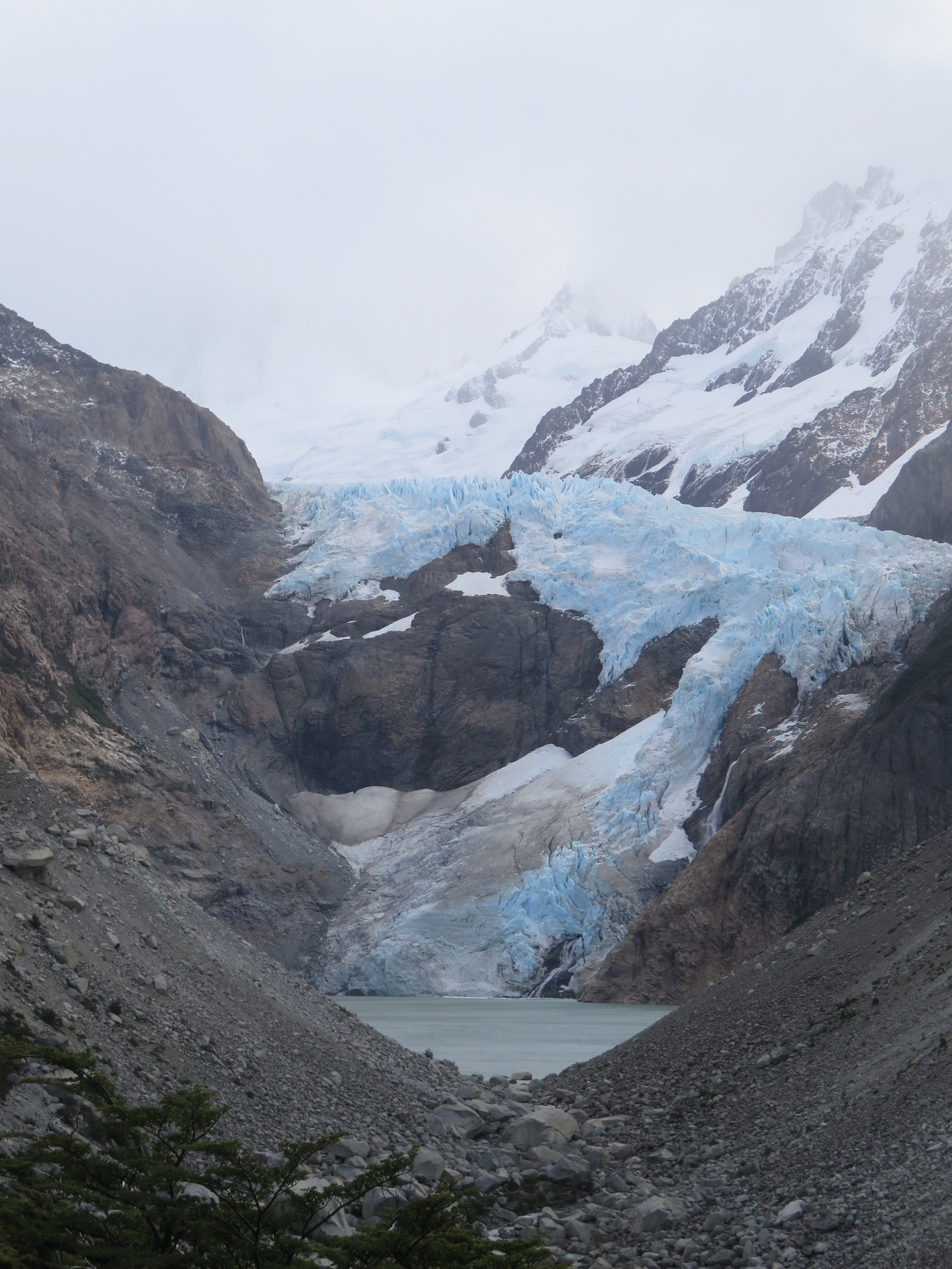
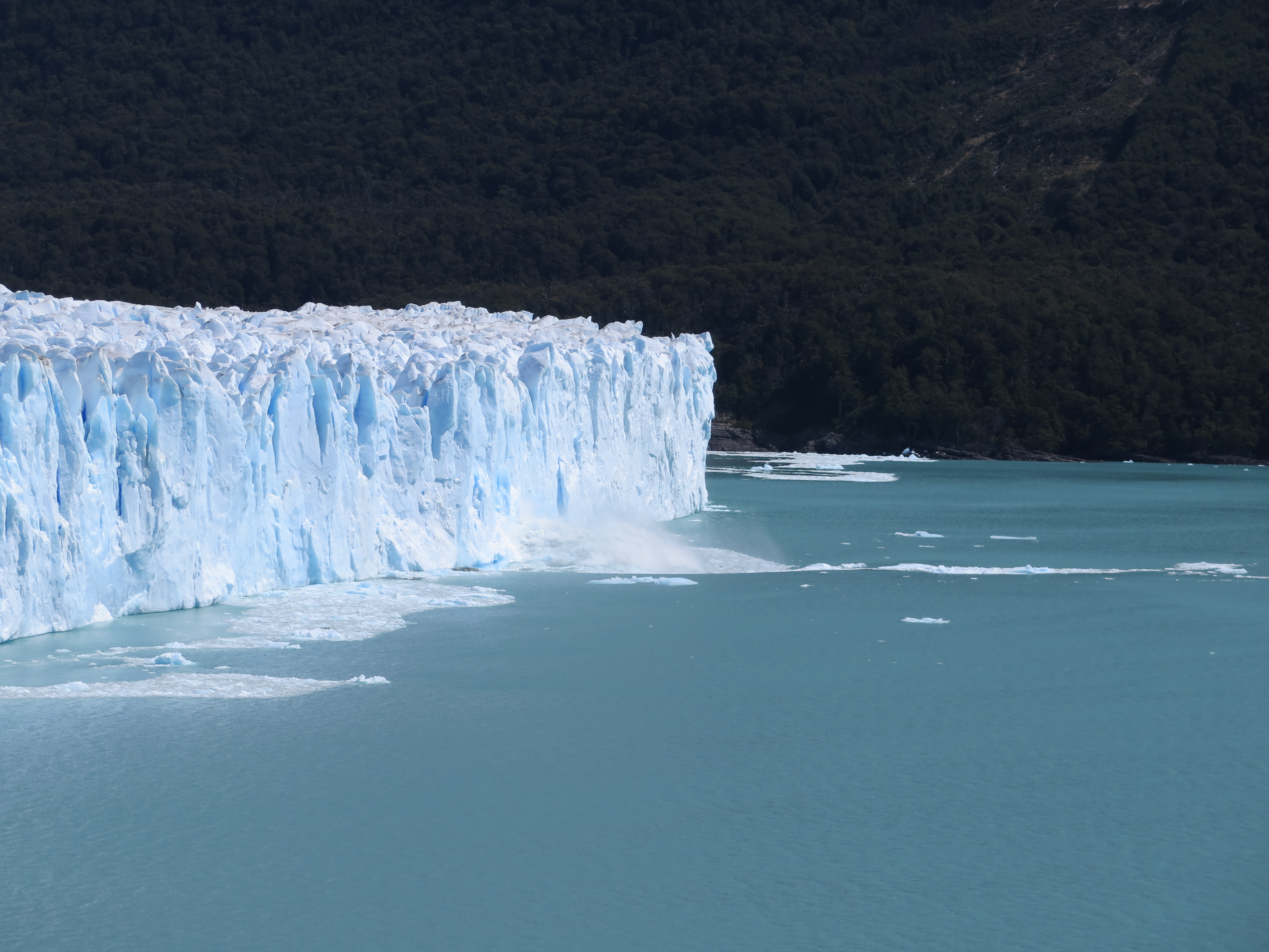
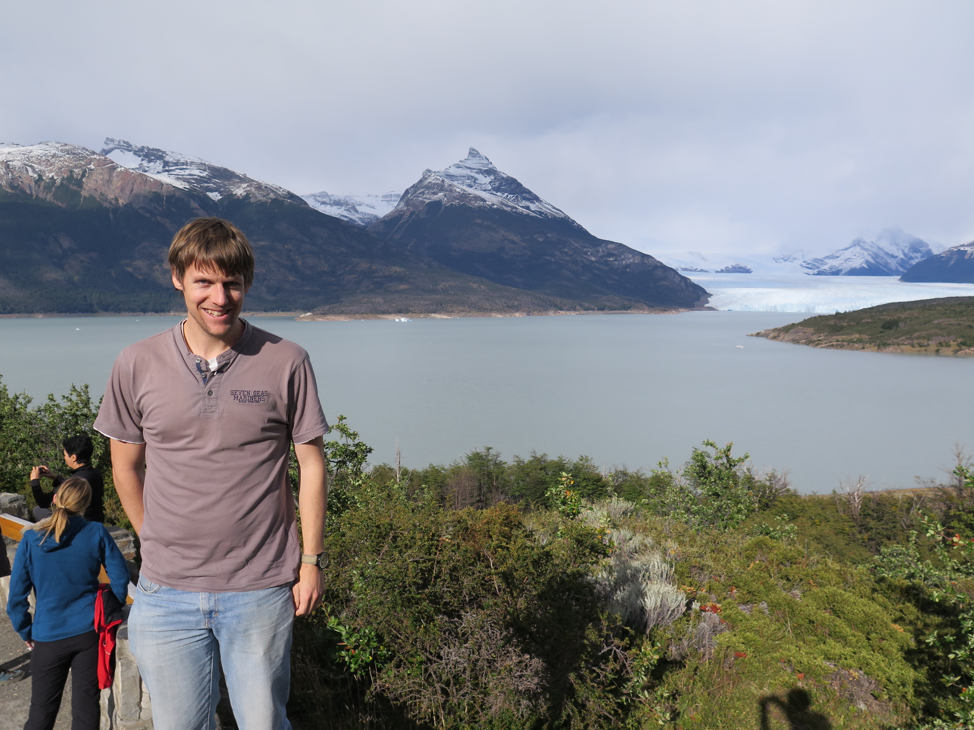
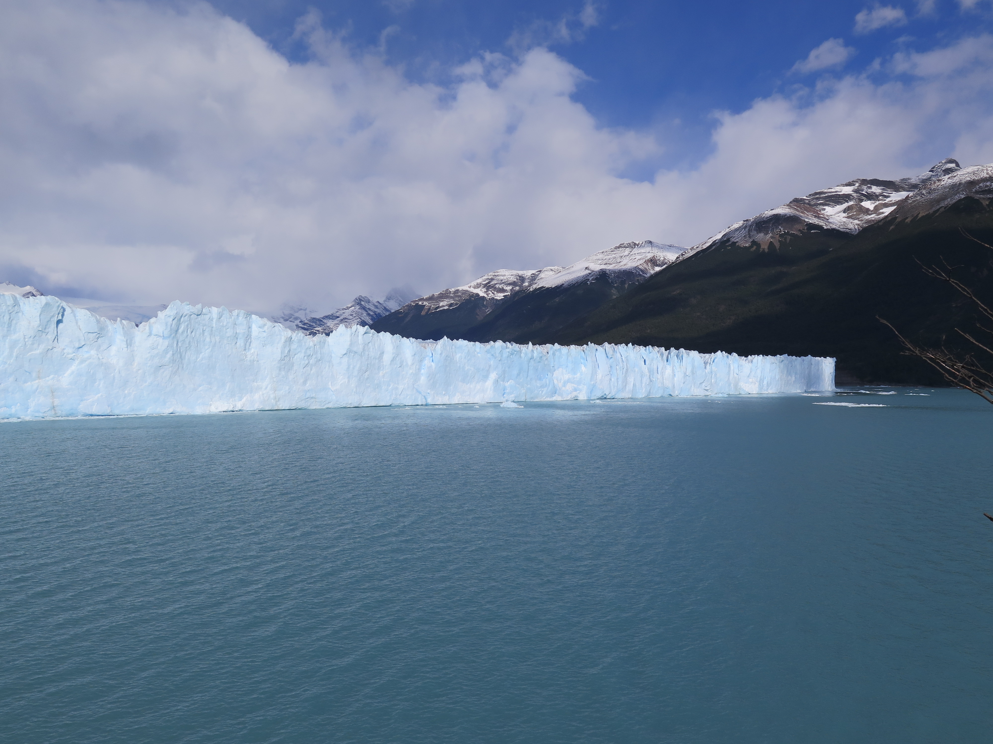
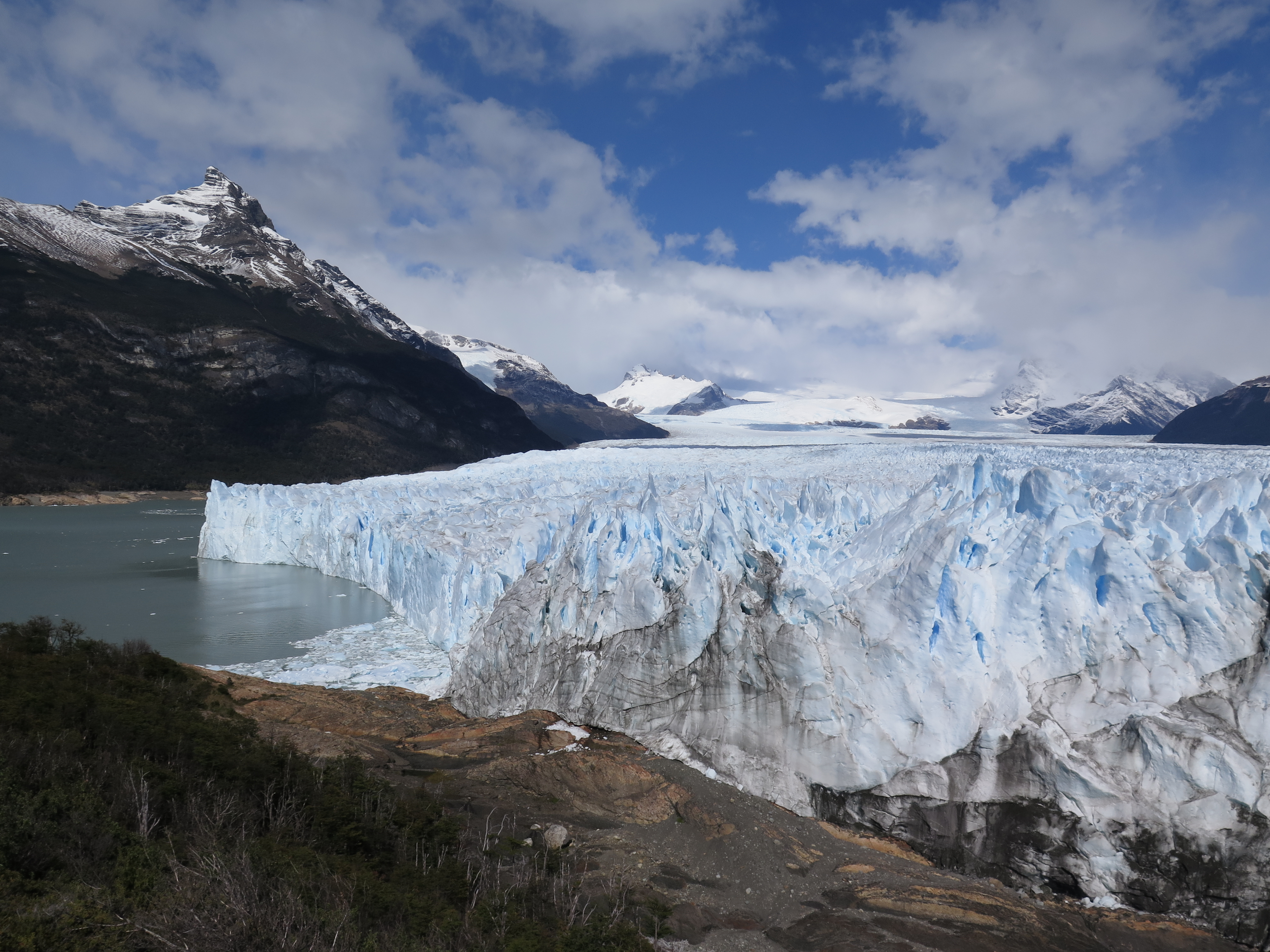
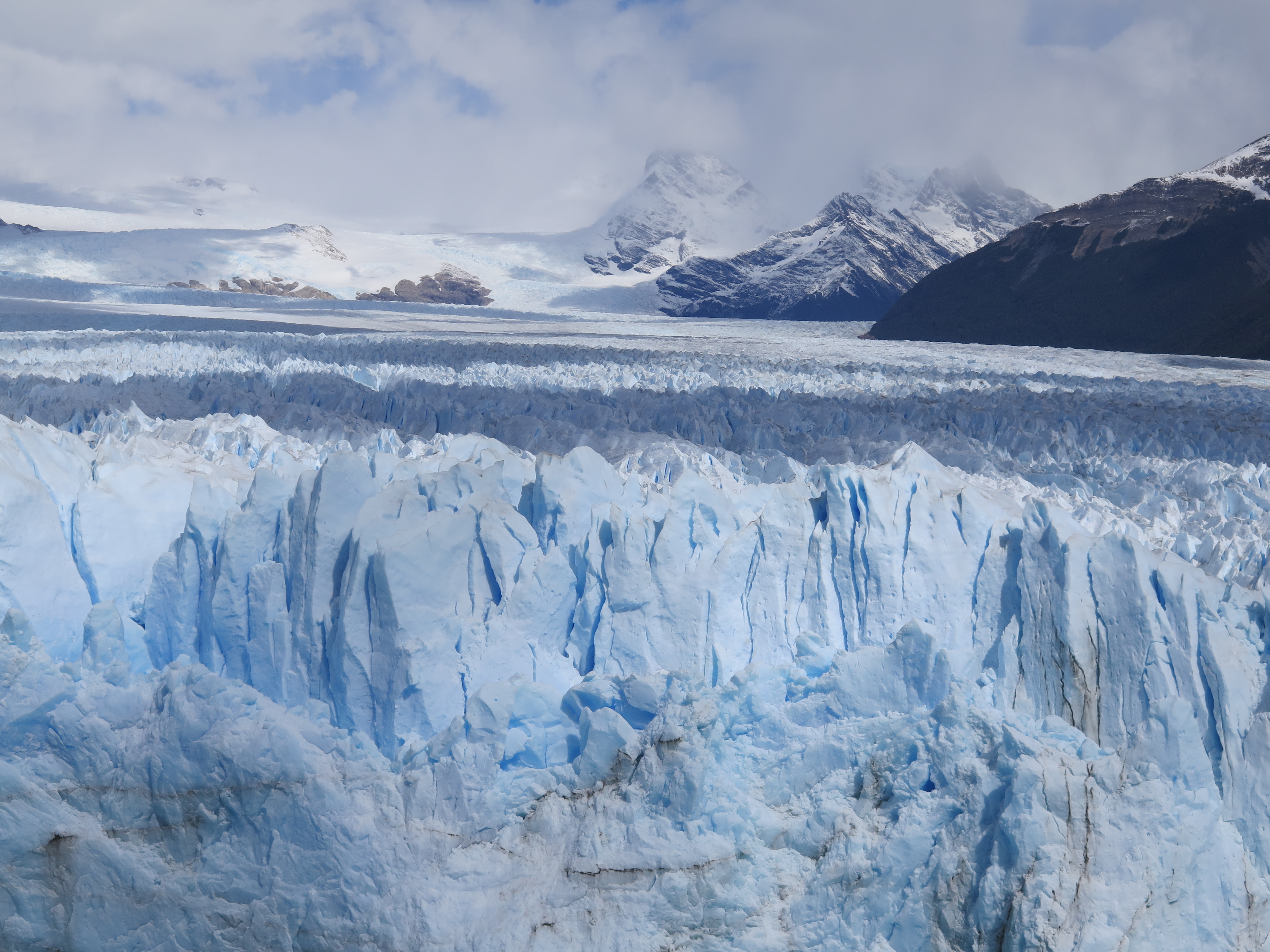
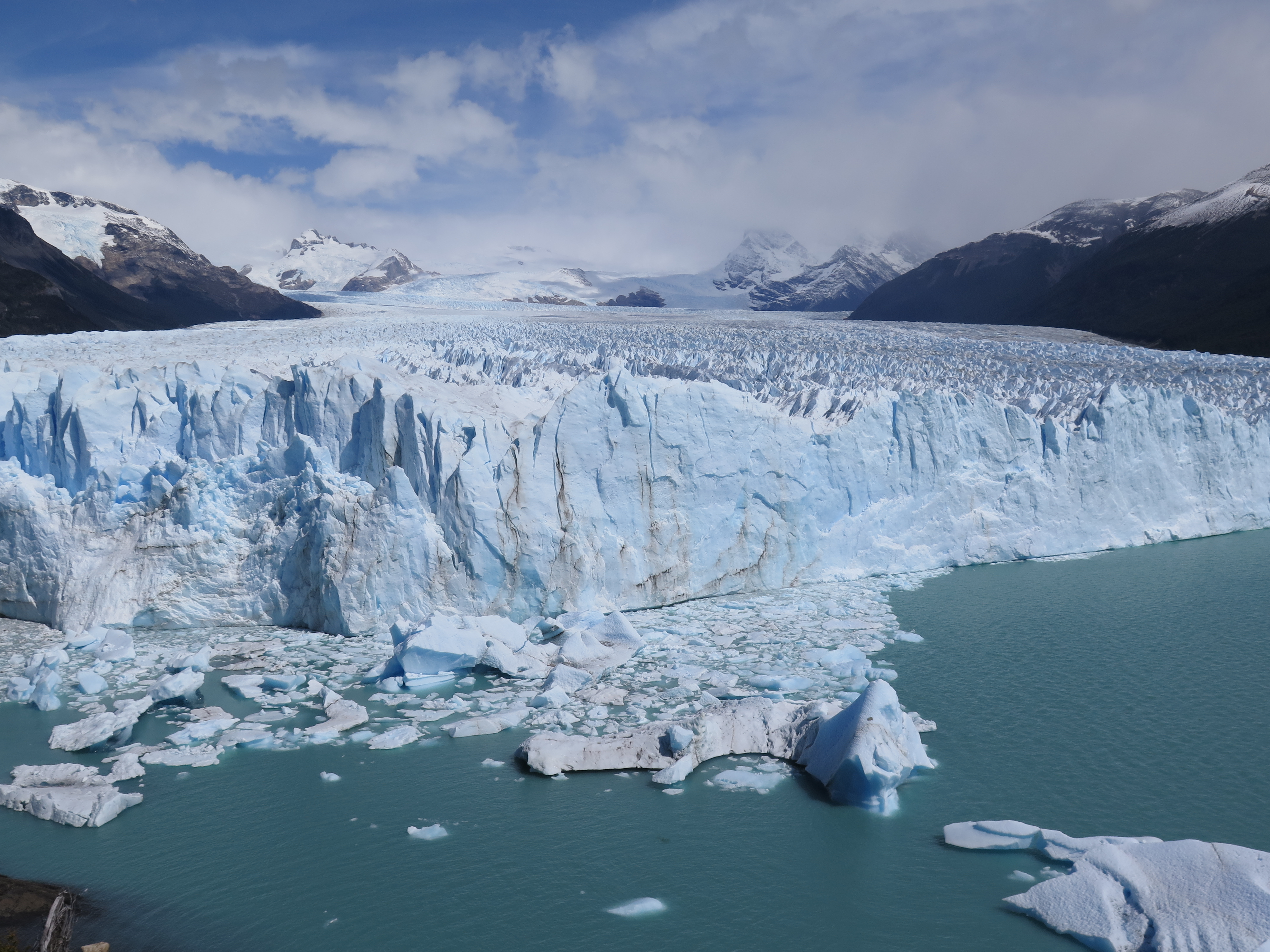
Back in Calafate, we immediately booked a day trip to the Perito Moreno glacier. The edge of this glacier is a popular tourist attraction with a network of trails and ramps leading along it. For once we were really lucky with the weather and got a great view of this vast mass of ice, which, just like the Grey glacier, originates from the South Patagonian Ice Field (16’800 km²). We witnessed the calving of the glacier on several occasions. Some tour operators offer treks and cave visits on the ice, but we decided against them – having walked on glaciers before, we felt like the view from a distance would be the most impressive part of the experience. On the bus I met a German solo traveler who gave me ideas for the next solo leg of my trip: Ushuaia and Tierra del Fuego. We got back to Calafate for yet another night at America del Sur Hostel before traveling on to El Chaltén.
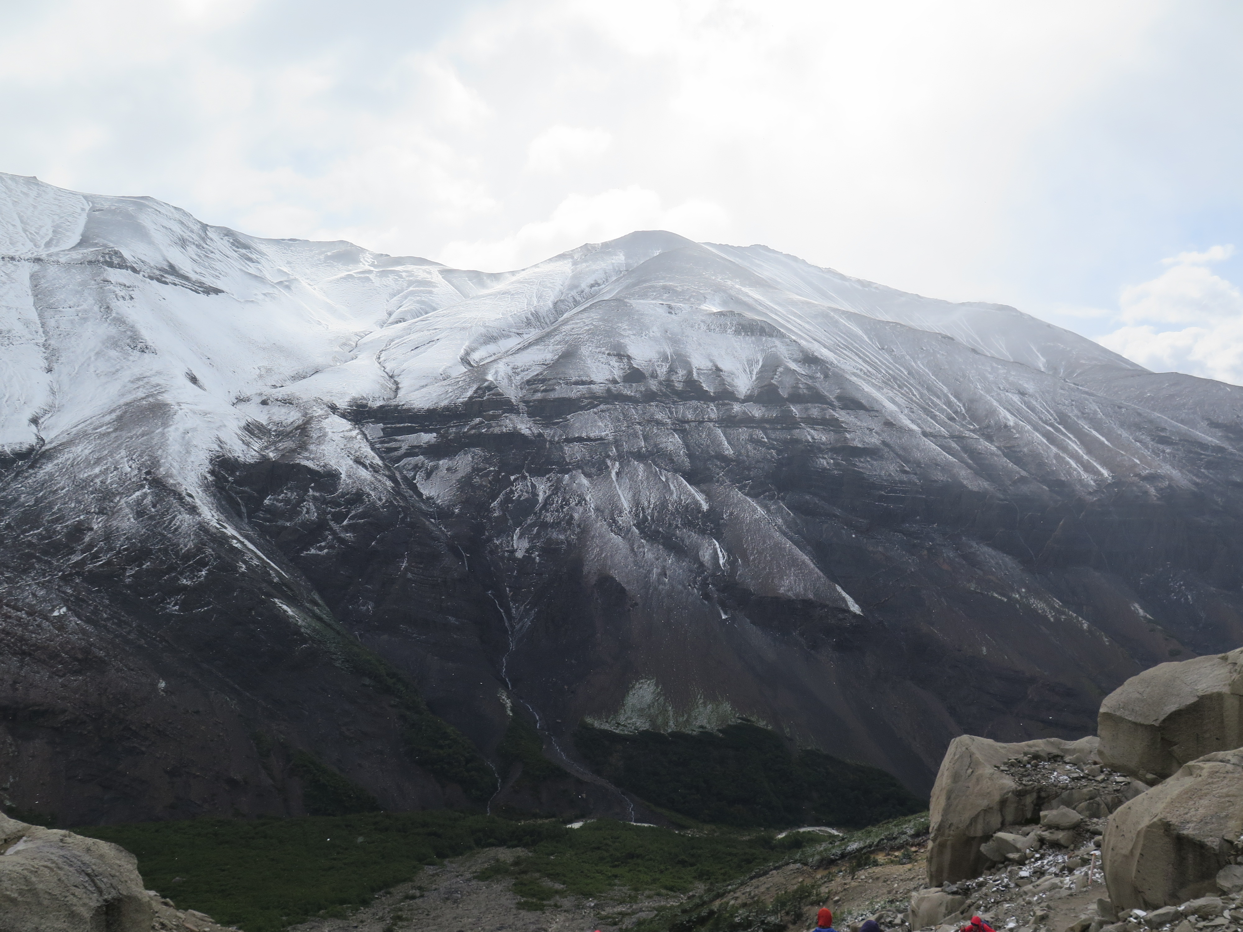
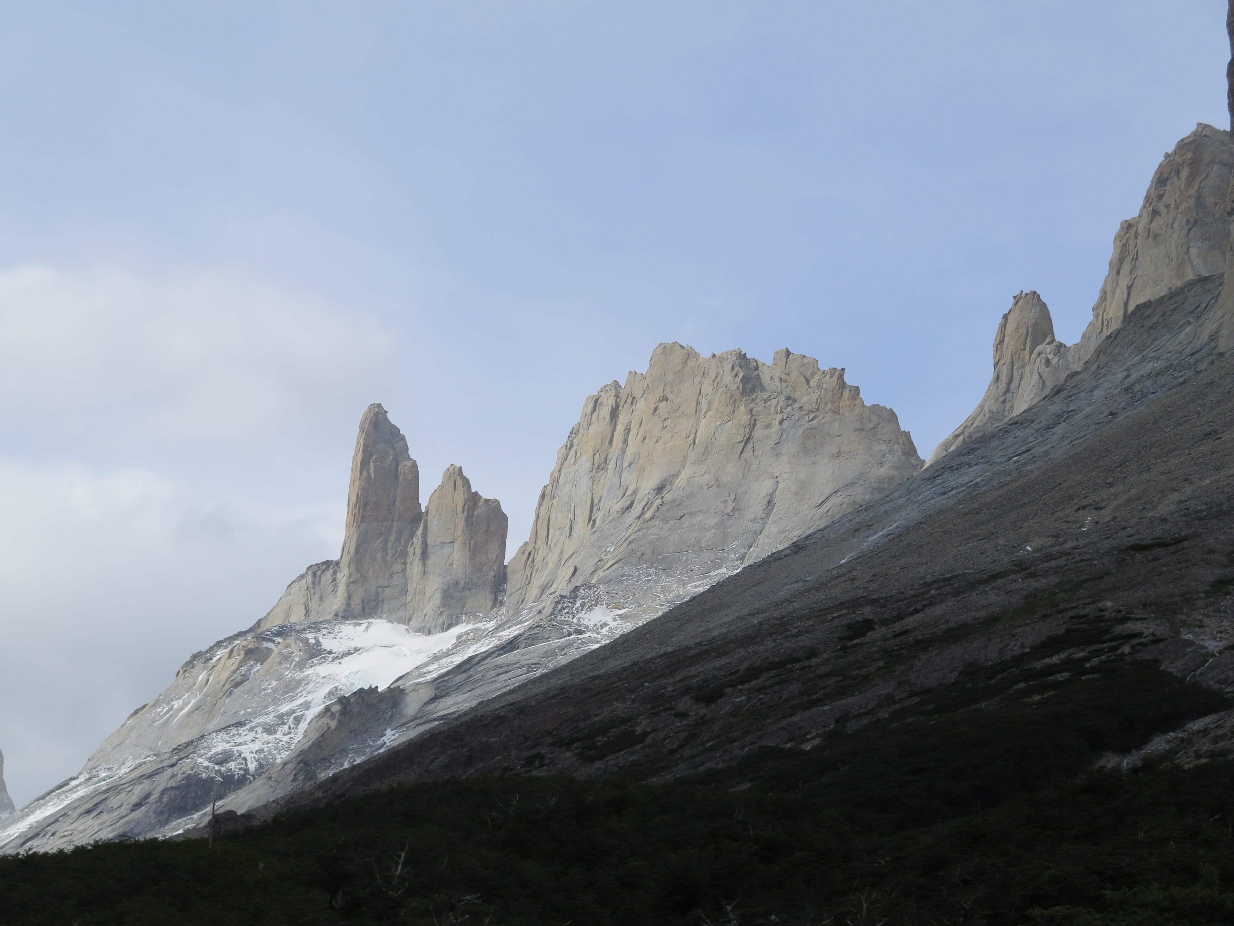
FEB 16, 2016 – On the last day of our trek, we got up a little earlier – I think at 5:30 instead of 6am – to be back on time for the bus to Puerto Natales in the afternoon. The night before we had learned that there was no easy option to go straight back to El Calafate, so we’d have to spend another night in Natales. The weather was dry again after a rainy night, but not looking sunny. We ascended in high-speed mode, with only the most basic supplies, and passed a lot of other hikers. In the upper part after Torres camp, snow started to fall. At the viewpoint there really wasn’t much to see as the famous “Torres” were mostly in the fog – only the mountain on the opposite side was visible. We were glad that we didn’t get up early for the sunset, as we later learned that the view wasn’t any better at that time. We got back to the campground in time to have lunch before catching the bus out of the park. Overall, we were quite satisfied with our visit to Torres del Paine – the landscape is beautiful and the weather was not too bad. I just think it is a bit overrated and therefore overcrowded with tourists. The high entrance fees and camping prices do not seem to keep people away from what is by far the most famous trek in Patagonia. There are good alternatives that provide more solitude and freedom, such as the Dientes de Navarino trek on the island south of Ushuaia, and other hikes in Tierra del Fuego area.
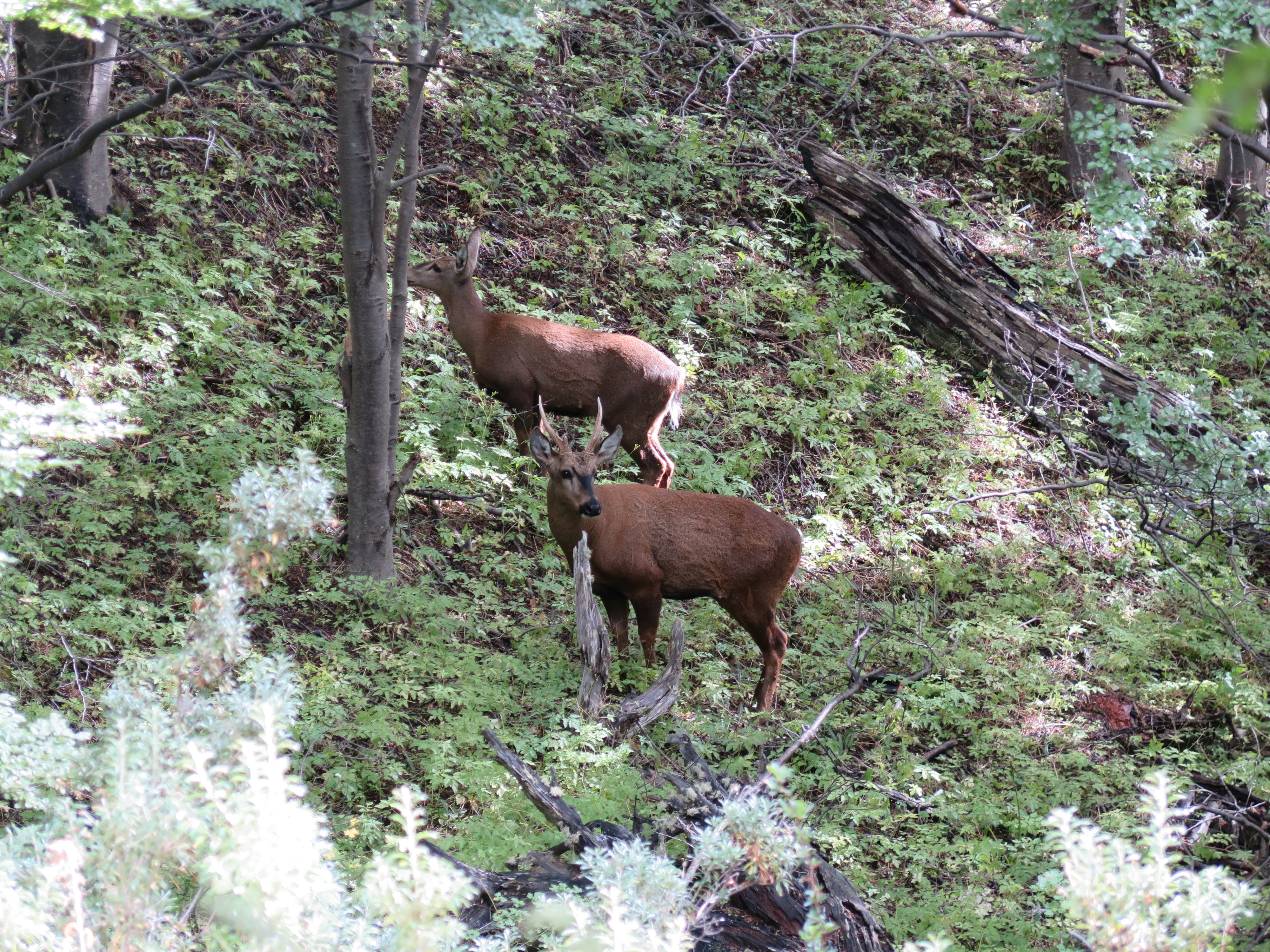
Mountain on the other side of the valley – without fogDeer sighted on the way down
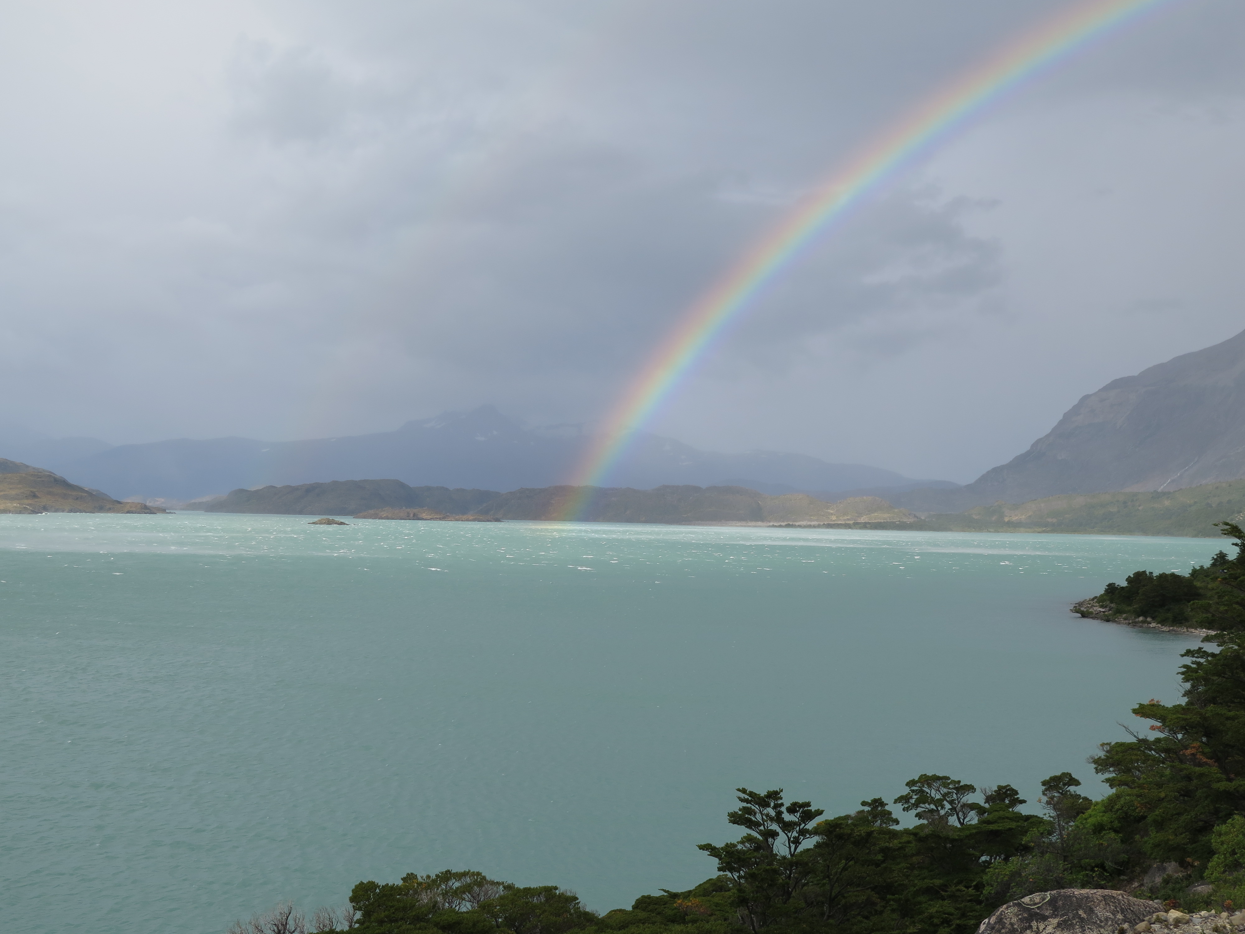
FEB 15, 2016 – This day was marked by very random weather. We woke up with a dry tent and the weather didn’t look bad at all. However in places it was very windy, to the extent one had to be careful not to be blown off the trail. The rain was never far away either, as witnessed by several rainbows we saw. Repeatedly we were hit by some raindrops and tempted to put on our jackets, but it always subsided within a minute or two.
It was early afternoon when we arrived at the fork between Chileno camp and Hosteria Las Torres. We had the option of going directly up to Chileno, sleeping there and potentially ascending towards Las Torres viewpoint to see the sunset the next morning, as many hikers do. Alternatively we could take the more flat route to Hosteria Las Torres and do the ascent the next day, still having enough time to go up the valley and be back in the afternoon. Since we had failed to get a spot for Campamento Torres (the one above Chileno) and we had heard that Chileno was pretty crowded, we chose the second option.
Once we had set up camp, we had most of the afternoon left to relax. I used some of the time to build a wind shelter for the tent since the wind speeds were extreme on that campground – some of the cheaper tents had even been destroyed. After comparing the food options, we decided to have a fancy dinner at the Hosteria bar since the prices there seemed quite reasonable. It was a nice luxury to have after days of basic camping food.
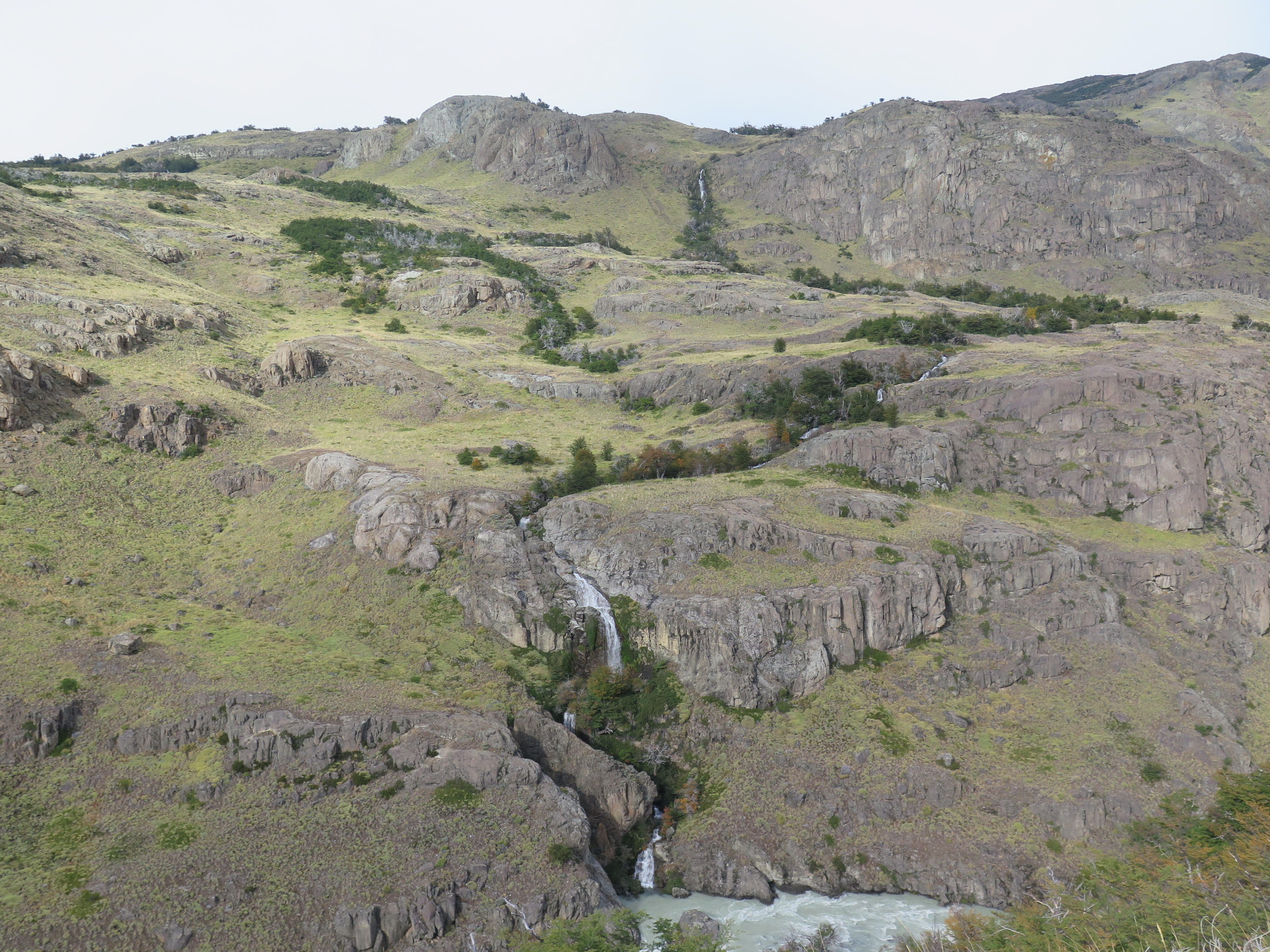
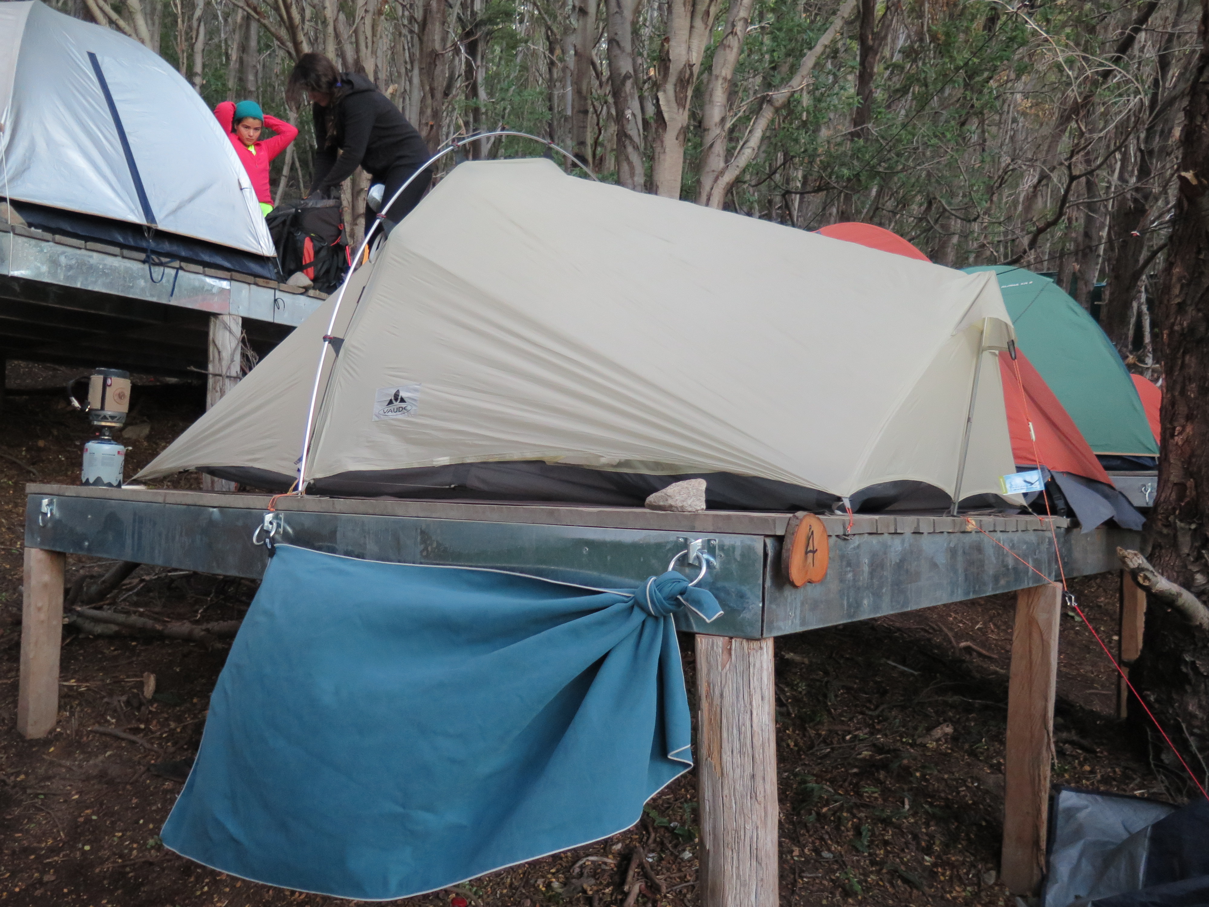
FEB 14, 2016 – Our tent resisted the rain well, and by the morning it had stopped. Today’s hike was rather flat, except for a few hills that had to be passed. We first arrived at Paine Grande, the biggest camp of the “W” trek. This was where we hoped to make a reservation for Italiano camp, but it was already fully booked for the night. We therefore continued to Francés, a new commercial campground located in the forest just half an hour further. There we still got a spot on one of the wooden platforms. It was early afternoon when we set up our tent, so we had enough time for an excursion into Británico valley. Indeed everything is named after European countries in that area, only a “Suizo” camp was missing. We ascended to the first viewpoint, which wasn’t too spectacular compared to the Grey glacier. Further above it was supposedly very windy and we were tired, so we didn’t go all the way up the valley. After a good pasta dinner, we went to sleep on our flat platform. Late-arriving campers were less lucky and had to set up their tents along the hillside. At least the campground warden showed some mercy and gave them a discount.
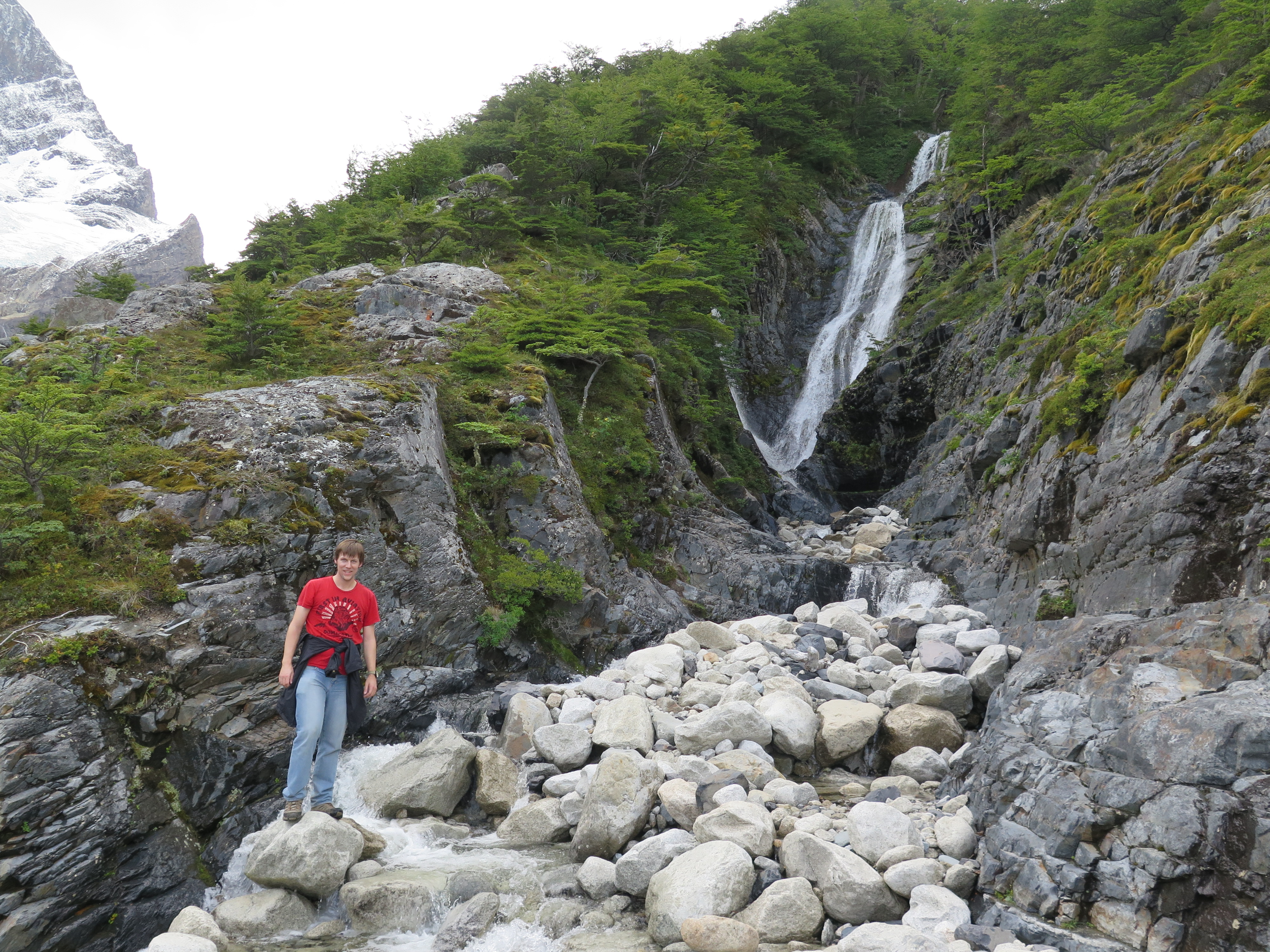
This part of the hike turned out to be very internationalNice little waterfalls in Británico valley
Tent pitched on a wooden platform using hammer and nails