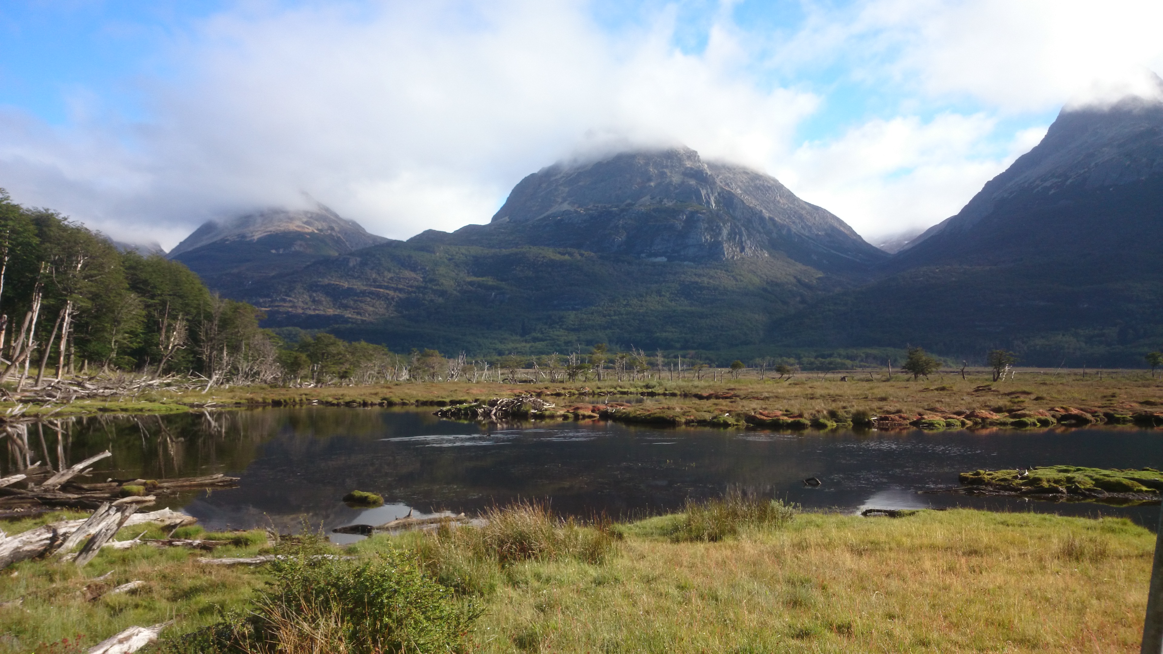
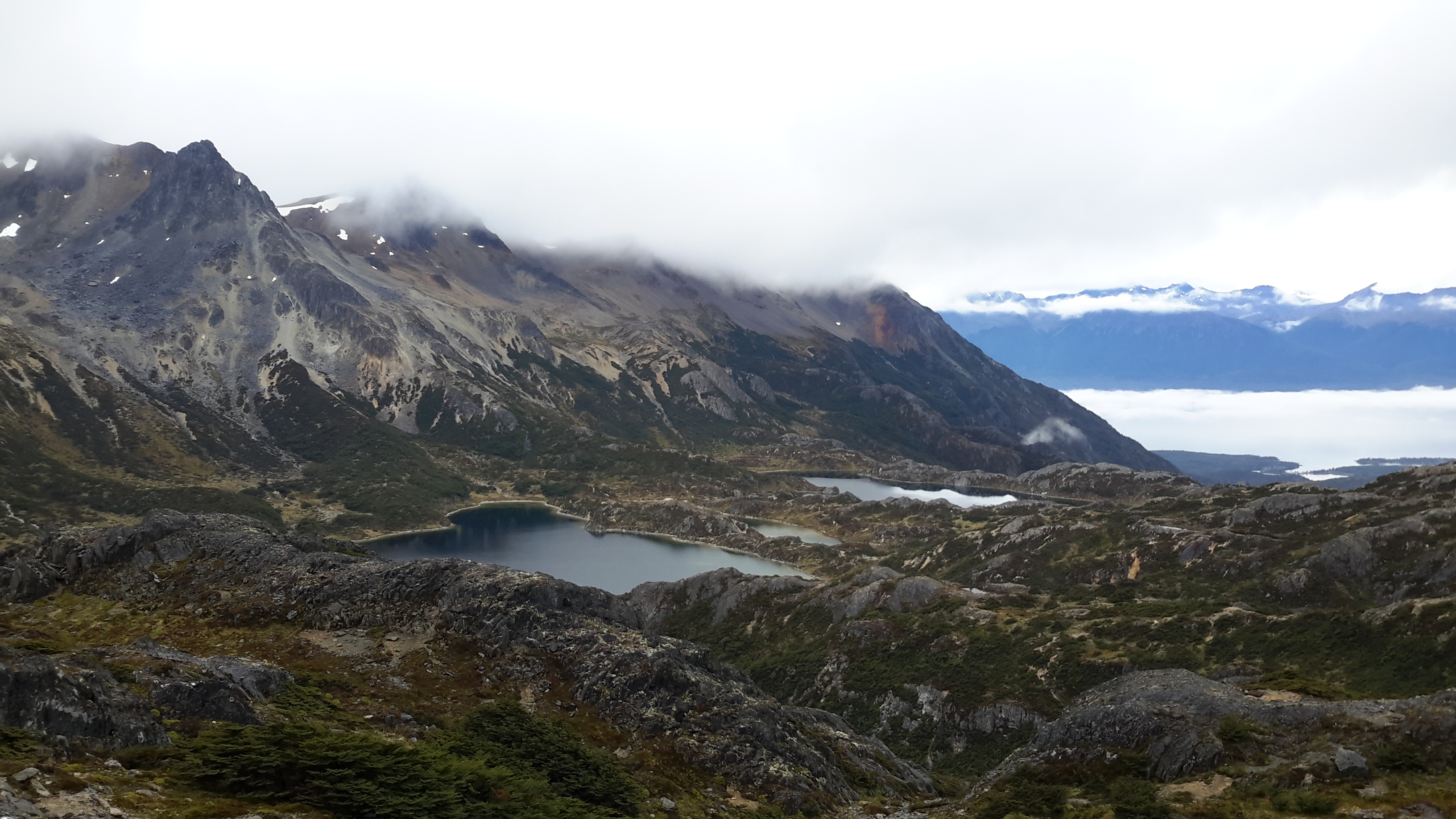
FEB 28, 2016 – I had left with the usual supplies for a three-day trek. Due to time constraints I didn’t manage to organize any printed maps, so I just had my phone & tablet with me, which both contained the OsmAnd app with a GPS track of the trek I wanted to do. I had also taken a photo of the map in my friend’s book – a 1992 edition of “Lonely Planet: Trekking in the Patagonian Andes”. After my good experience with OpenStreetMap in previous treks – notably Salkantay – I decided that this had to suffice as map material. After a night on a free campground, which I shared with a few horses, I started hiking. It later turned out that I went the opposite direction to the one described in the Lonely Planet book. The first two hours or so were quite easy, the weather was good and the landscape breathtaking.
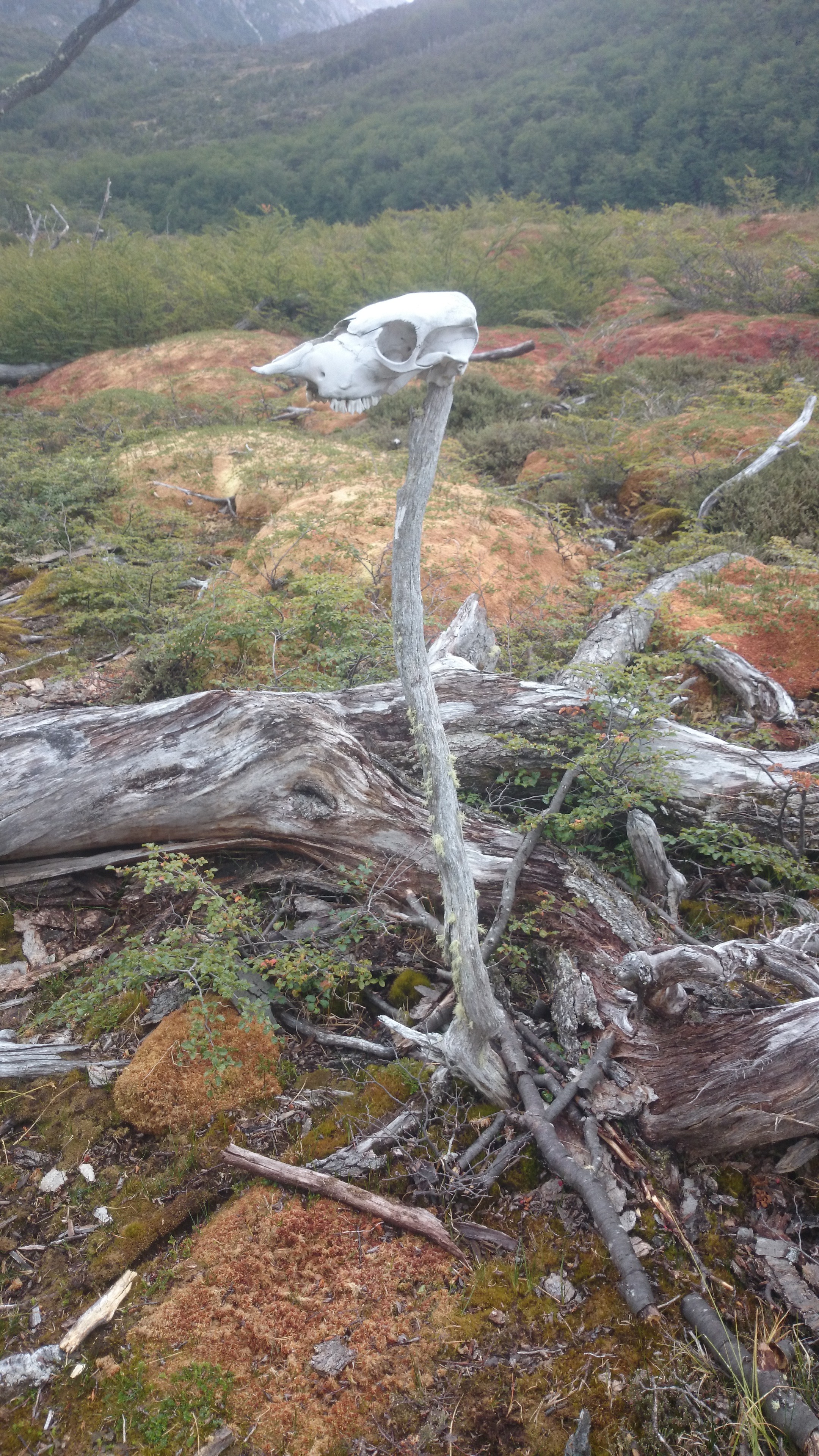
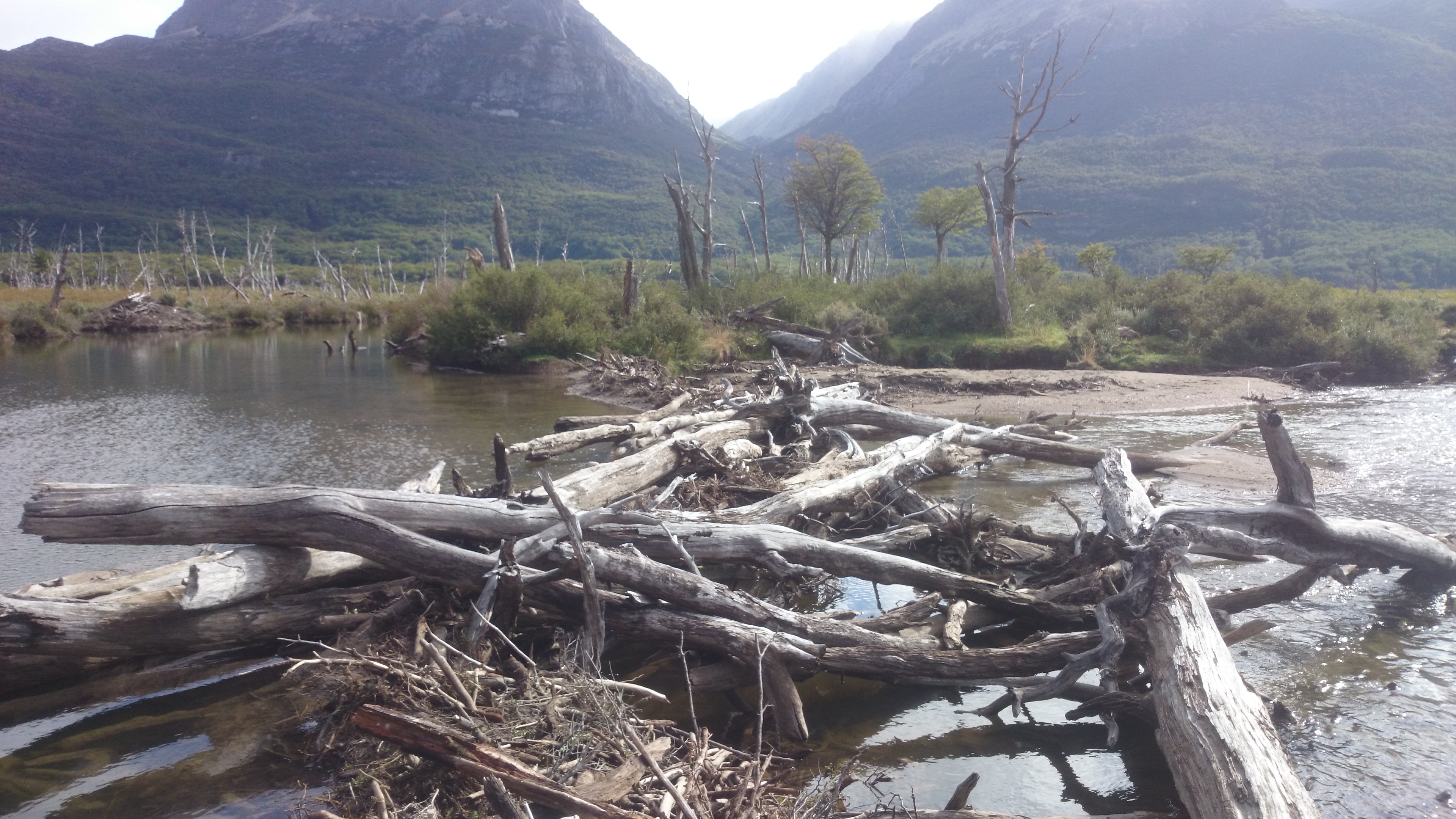
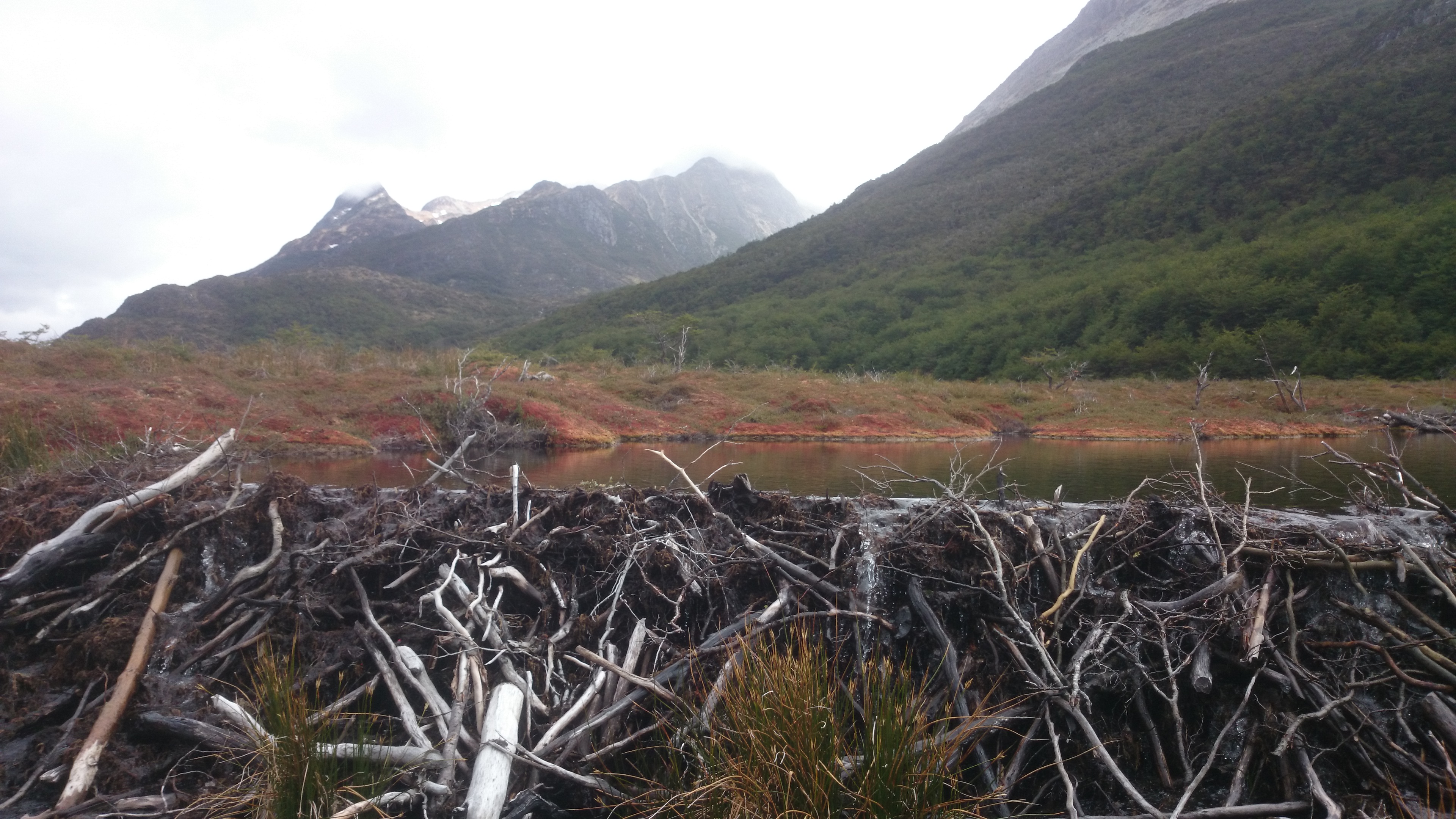
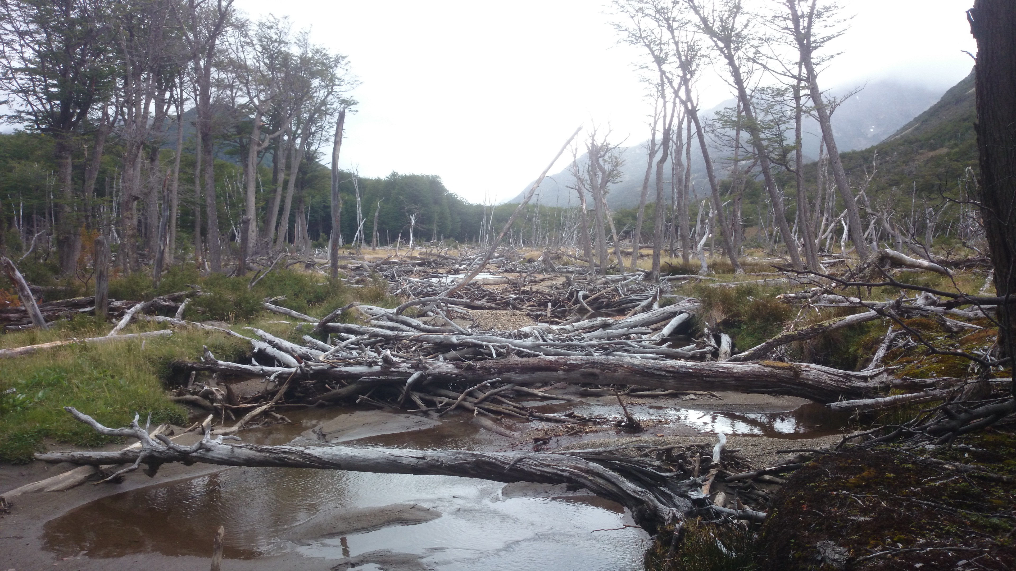
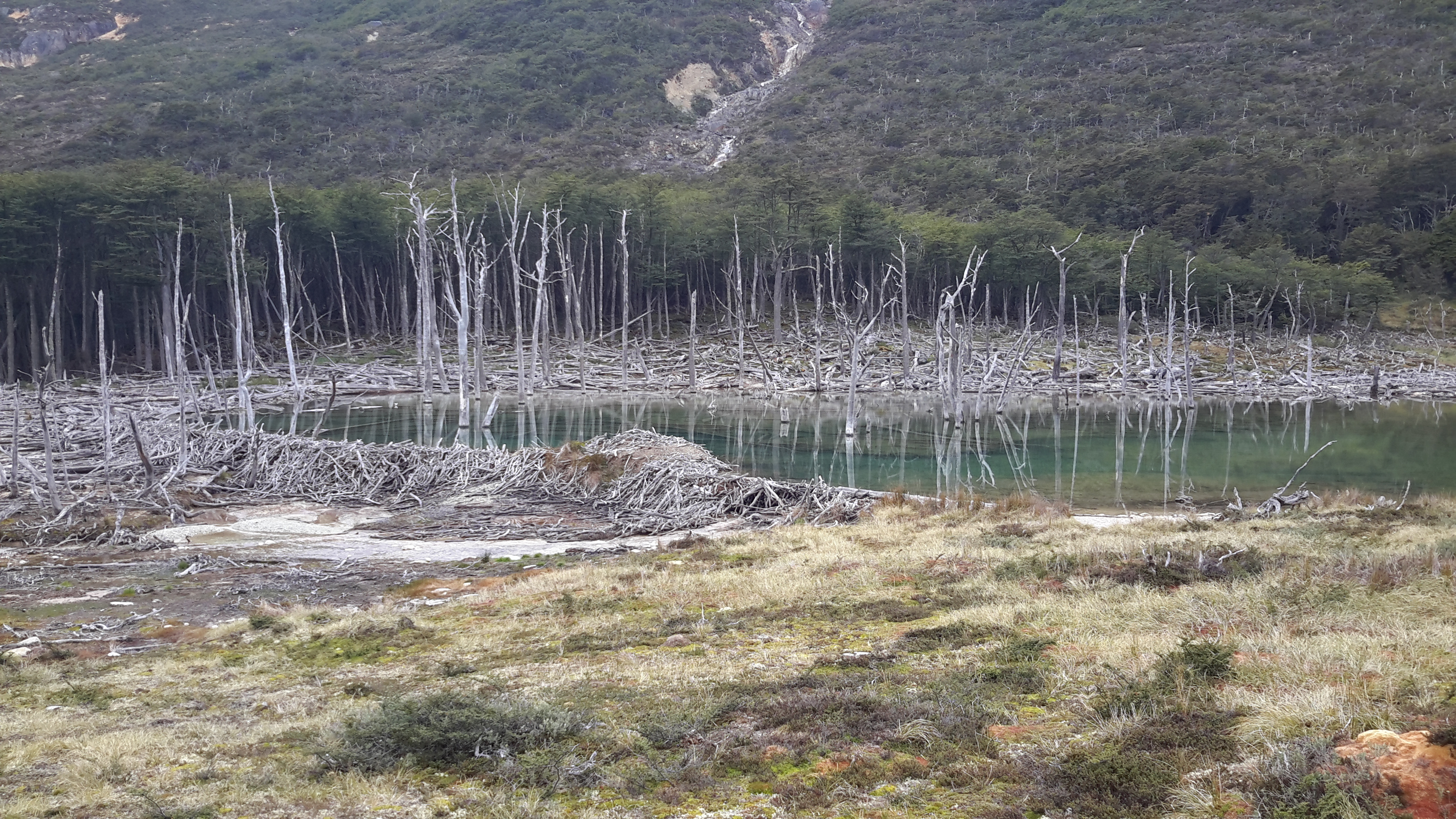
At some point, I suddenly realized that my GPS track was crossing the river, while the trail was not. I found a way to cross over a beaver dam, only to find that there was no trail on the other side. From then on, I was dependent upon my path-finding skills and the batteries of my devices. Due to the heavy beaver activity – the North American Beaver being a plague in this area – the landscape seemed to be ever-changing. Luckily I just had to follow the river and turn right at a little creek flowing into it. Still, it was quite hard work, crossing many creeks and climbing over lots of fallen trees. By late afternoon I had reached the turnoff and hiked uphill to a nice lake near Valdivieso Pass. I spent the first night there in perfect solitude.
The next morning I considered my options and decided to keep going for as long as I found the way – even after another half day, I could still go back the same way if I ran out of battery. But it turned out to be a difficult compromise – I got lost several times because I didn’t want to keep my tablet out the entire time, and I couldn’t read ahead much since the map didn’t contain any useful details. At some point I realized that the more rocky parts of the hike were marked with cairns. In the late morning I met a group of Polish hikers going the other way, which gave my motivation a boost. They had an e-book of the current edition of “Trekking in the Patagonian Andes”, which they shared with me via Bluetooth. Here the trek was described as requiring four days rather than three, but given the distances, I was confident that I was on track for three. I even considered walking past Laguna Esmeralda, which looked like a worthwhile detour.
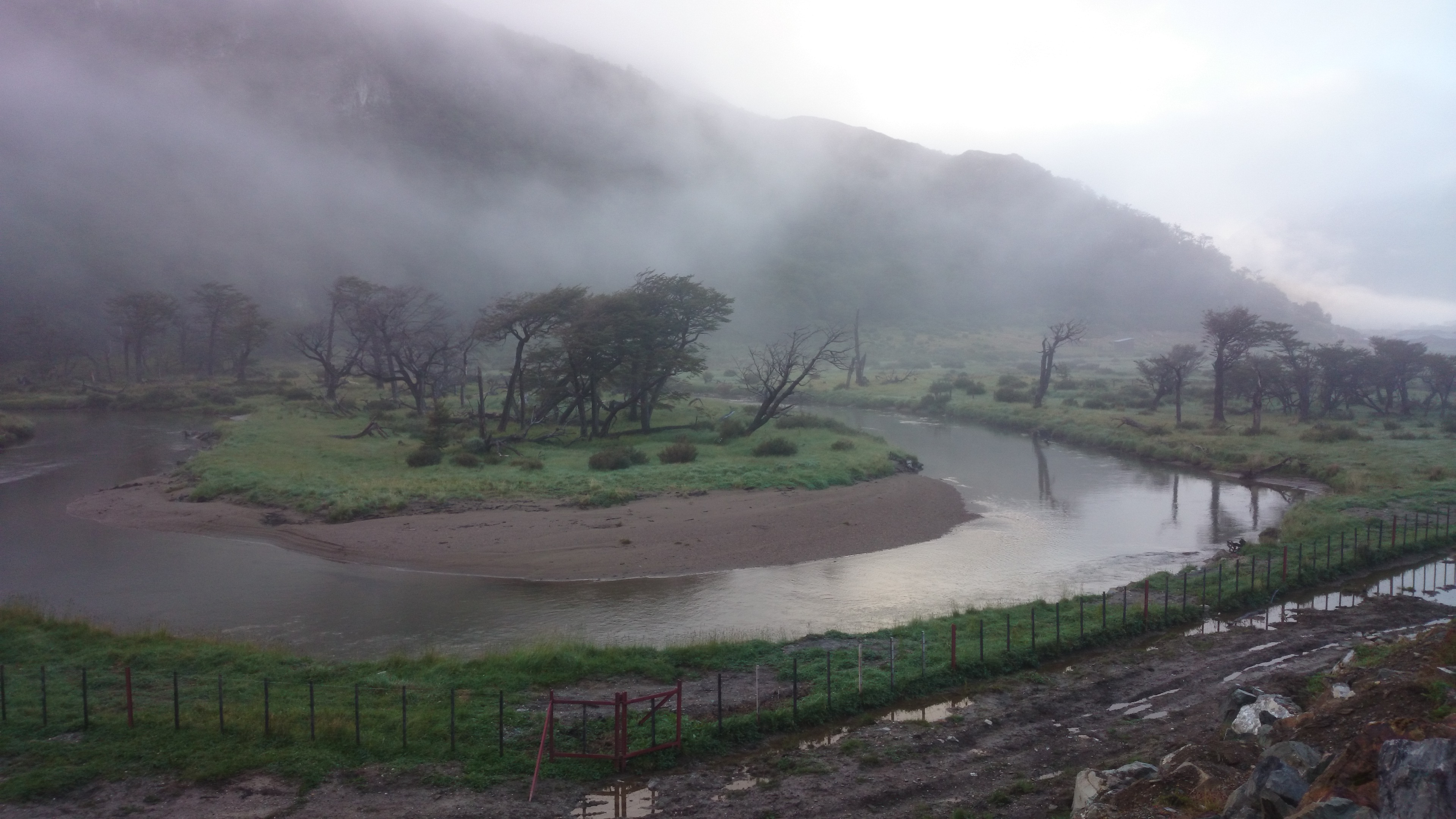
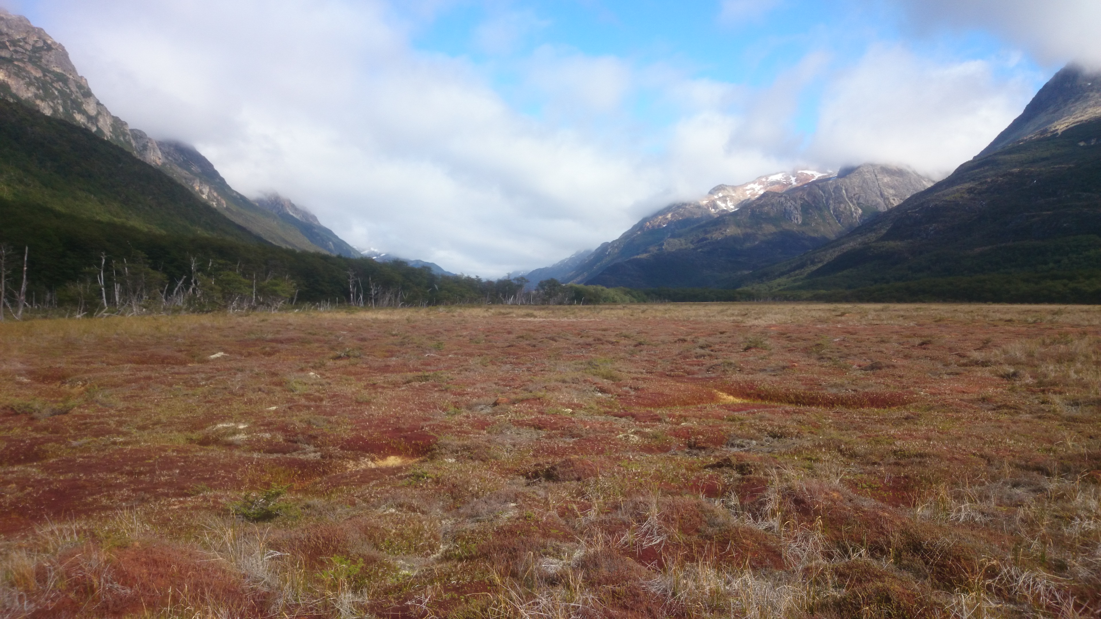
I passed the rocky part and came into flatlands again towards mid-afternoon of day two. It started raining, which meant I had to wipe my tablet dry every time I checked the map. When I was ready to set up camp, I suddenly saw a wooden hut appear in the distance. The surprise was perfect: This was Refugio Bonete, a little hut built by an individual for public use. It was described as the place to spend the first night in the LP book, but my map didn’t mention it. From here it was not far to go! I made myself comfortable, started a fire in the little wood stove and hung up my tent to dry. The next morning the weather still didn’t look too good and I took the direct route back to the main road, which was only about two hours. So in the end I had done the “four day hike” in not even two days and a half. Despite the difficulties, I highly recommend this gorgeous trek – but please bring a proper map, a compass, and some extra food.


ExplorerSouls
January 7, 2020 at 22:05Viele dank für d Infos!
Ich hocke grad in Ushuaia und plane die Route! Hoffemer das klappt, weil e wanderkarte hani bis jetzt kei bruchbari gfunde.
Liebe gruess
Stefan