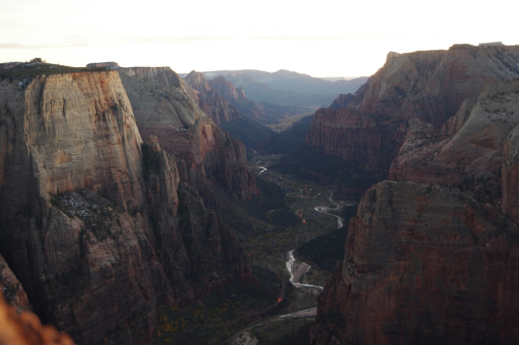
Great Hiking in Grand Canyon

image
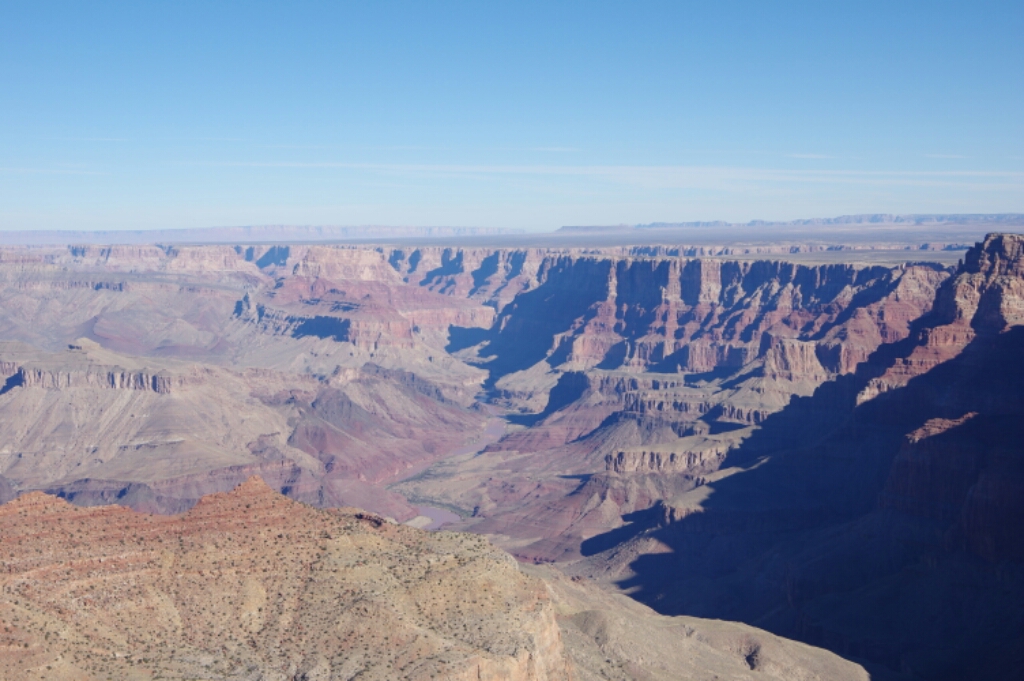
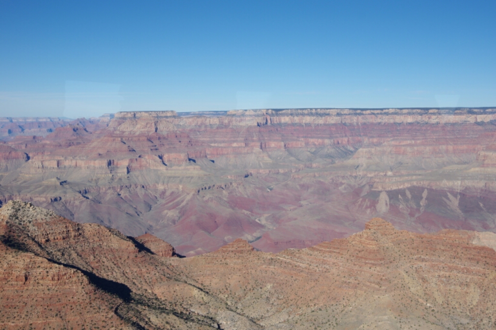
View of Grand Canyon from Desert View tower

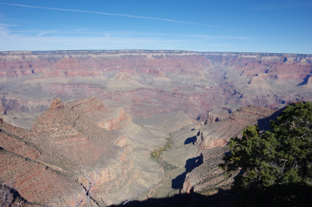
NOV 25, 2015 – I left my campsite around 9am on November 23rd to drive to nearby Grand Canyon. The scenic viewpoints along the way gave me a first impression of what the Grand Canyon was like. I think mostly its length is impressive – the depth and steepness is comparable to many canyons and valleys I have seen. The Desert View watchtower was one of the best places to see for how long the canyon continues in each direction: It is about the same length as Switzerland.
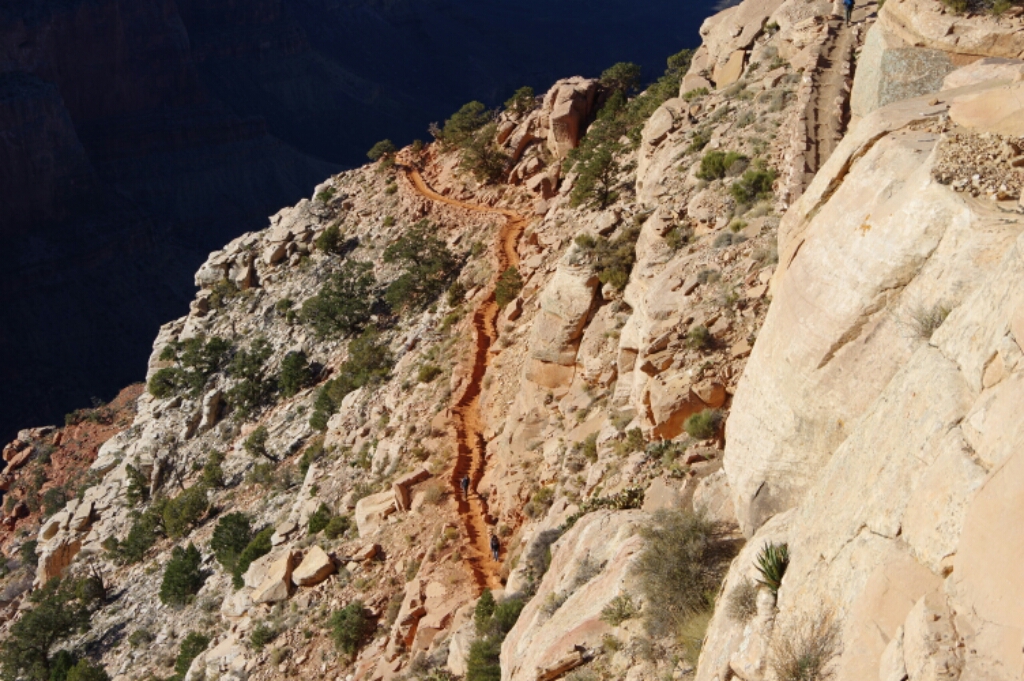
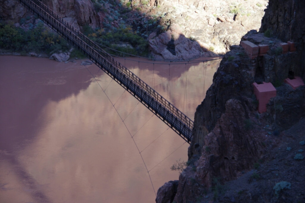
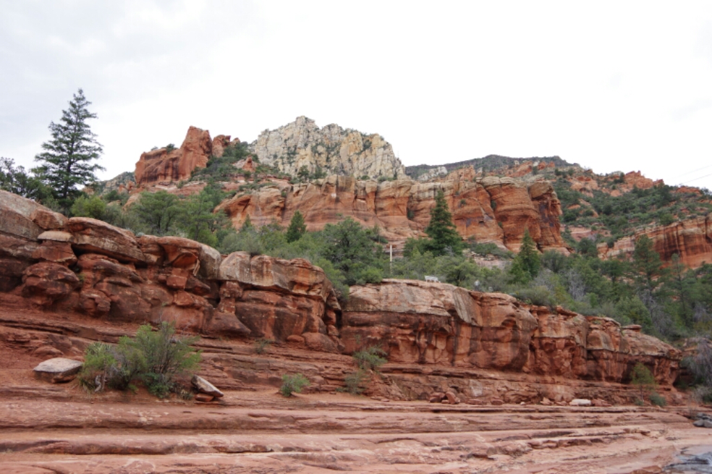
The area around the visitor center was very crowded despite rather cool weather. By the time I had obtained backcountry permits, prepared my baggage and made my way to the trailhead, it was almost 3pm. I spent the first night at Cremation Creek, which was a 2-hour hike, so I still had time to pitch my tent before sunset. The next day I hiked down to Bright Angel campground, set up my tent and left for a day hike to Ribbon Falls. My original plan was to make it to the North Rim and back, but I then realized that is about the distance of a marathon, and only about a quarter of it goes uphill or downhill. So I went back to the campground and ran up to a viewpoint to see the sunset in the canyon instead. On the third day, I left early and was back at the South Rim by 11am, early enough to drive all the way to Tucson that same day. I passed through Sedona with its spectacular red rocks.
image
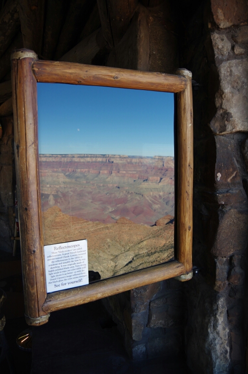
Reflectoscope at Desert View Tower

image

image
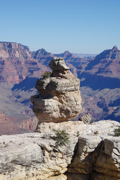
The duck, at one of the viewpoints
image
Grand Canyon Railway
image
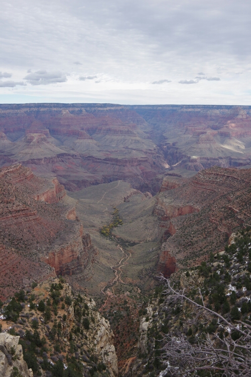
View towards Indian Garden
image
Hiking down Kaibab Trail
image
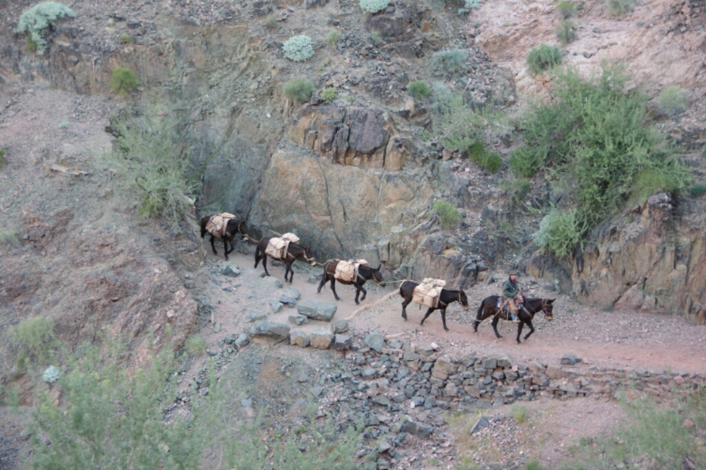
A trail shared with mules

image

image
Sunset at Cremation Creek

image

image

image
Bridge over the Colorado River
image
Mule train on the way uphill
image
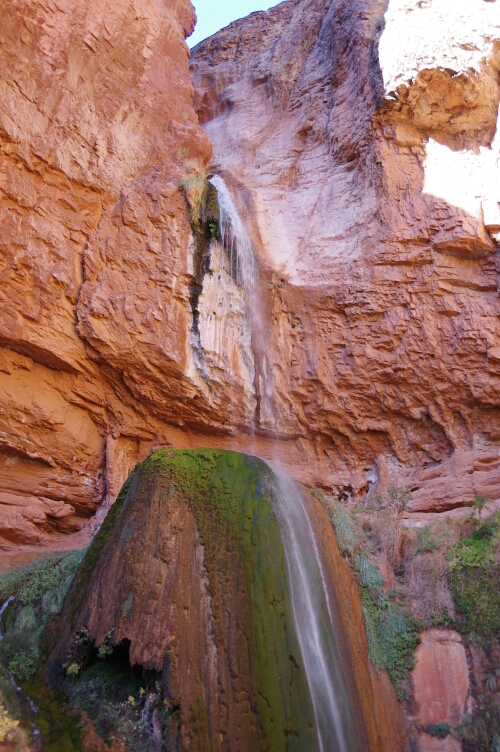
Ribbon Falls
image
Along Bright Angel trail
image
Indian Garden and the Bright Angel Trail, in cloudy weather this time
image
Sedona rocks

Breathtaking Bryce

image
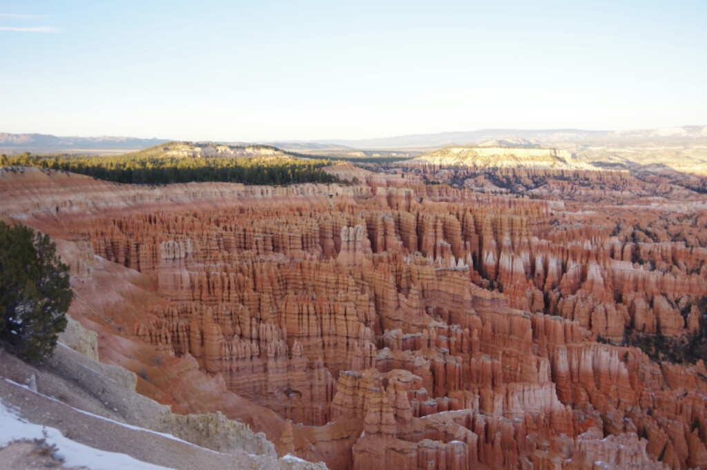
Bryce Canyon at Sunset

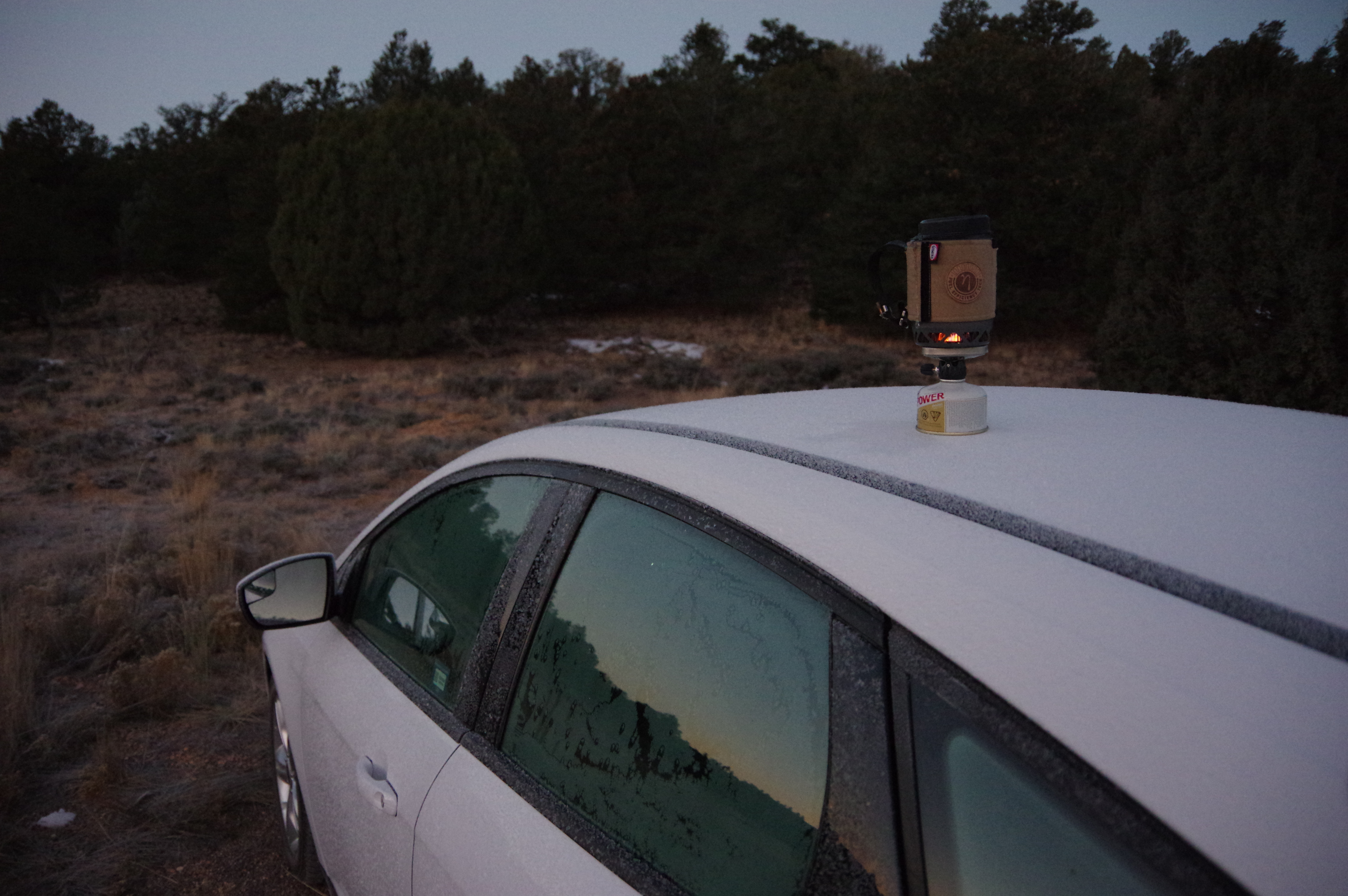
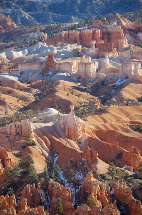
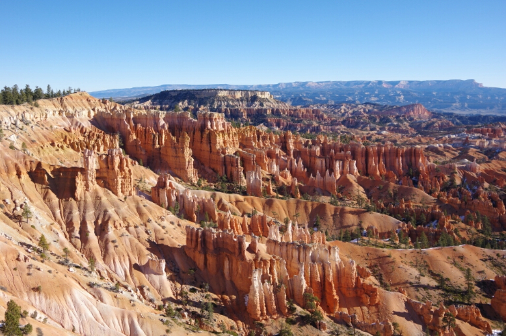
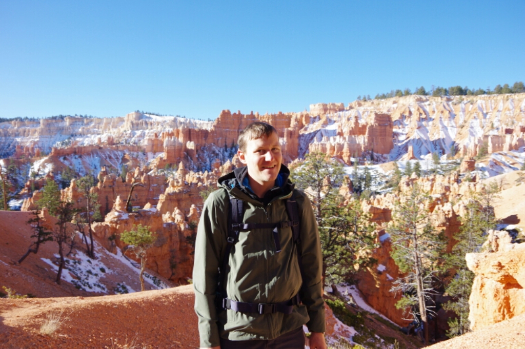
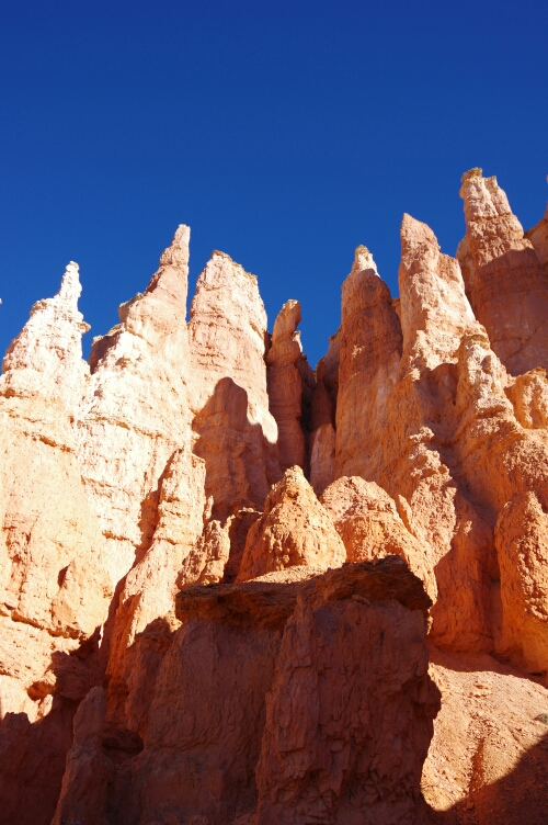
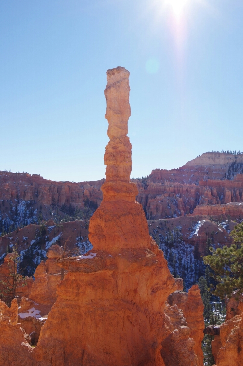
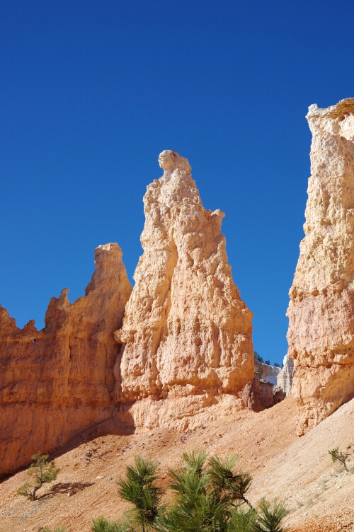
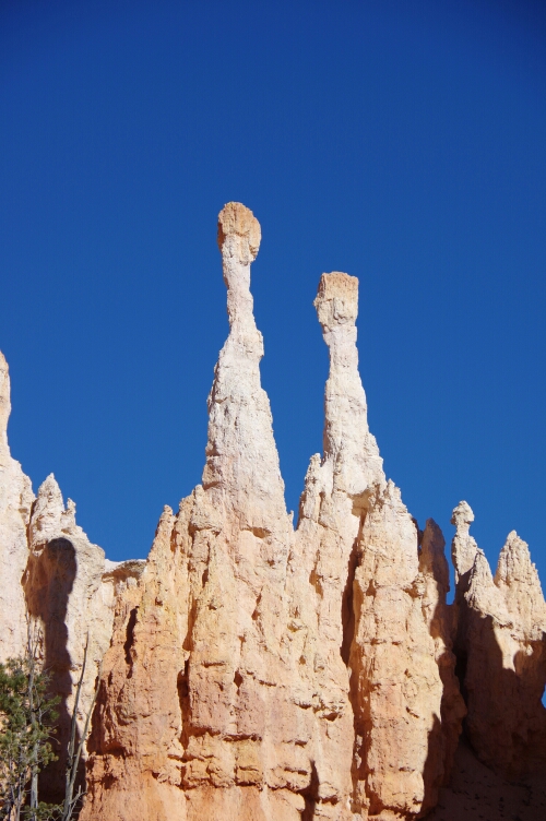
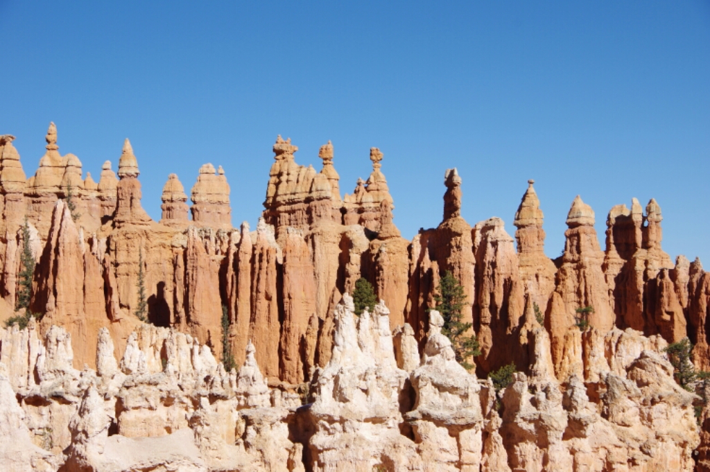
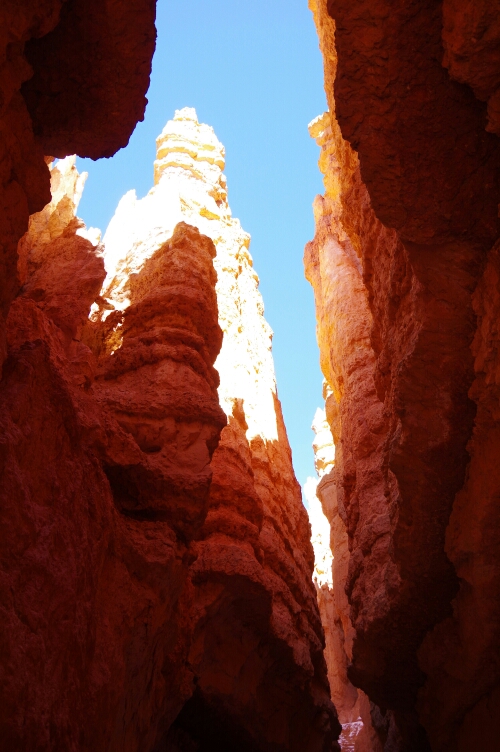
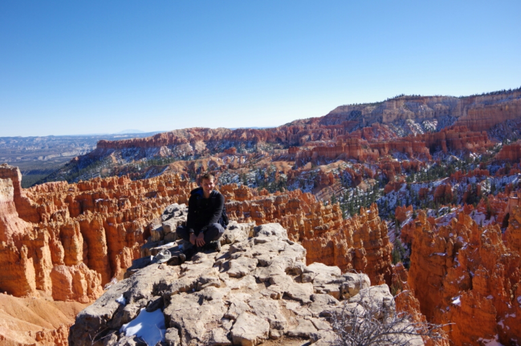
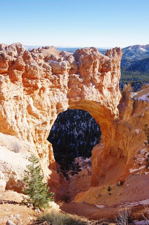
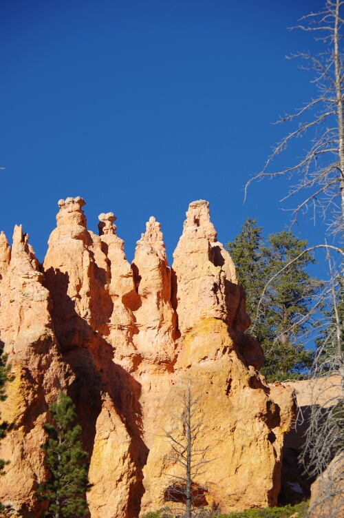
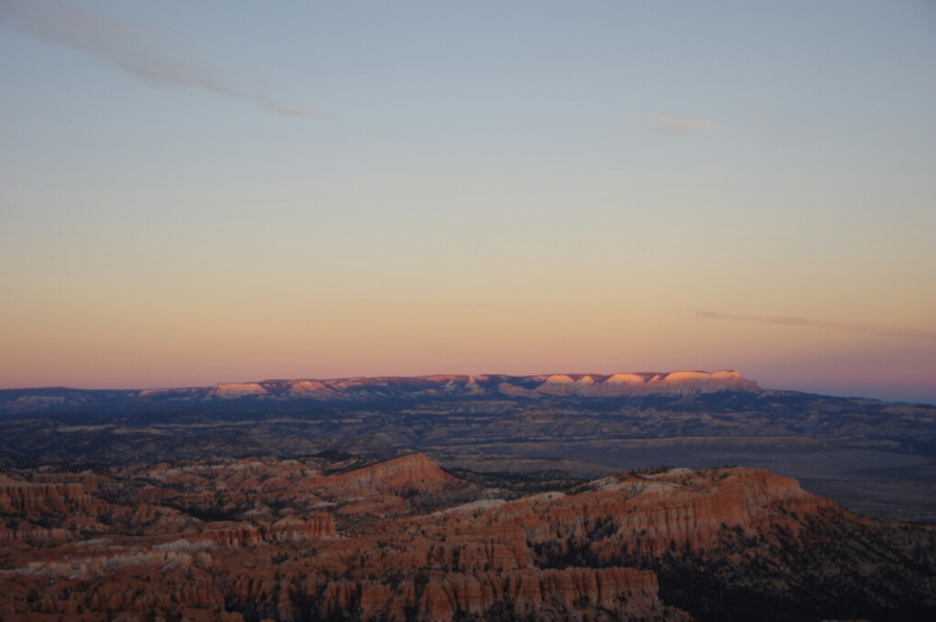
NOV 22, 2015 – I spent a cold night camping on BLM land outside the park. My car’s thermometer showed 9°F, so I was glad to have bought an extra sleeping bag and some firewood the day before. In the morning, I went for a hike below the canyon rim. The diversity of the rock formations was impressive – behind every corner, a new spectacular view awaited me. In the afternoon, I drove to all the viewpoints along the rim and did another short hike. By 5pm it was almost dark, so I decided to use the evening to drive towards Grand Canyon. I found a nice spot for free camping in Kaibab National Forest, just a few miles from the park entrance.
image
Boiling water for breakfast on my frozen car
image
The Head
image
Nice shadows

image

image
Family of dwarves
image
The column
image
The Princess
image
The matchsticks
image
Probably my favorite view

image

image

image
The lost city

image

image
Natural Bridge (actually an arch)

image

image
The Watchtower
image
The Royal Family

image

Red Canyon – or how to portray a rock

image
Red Canyon

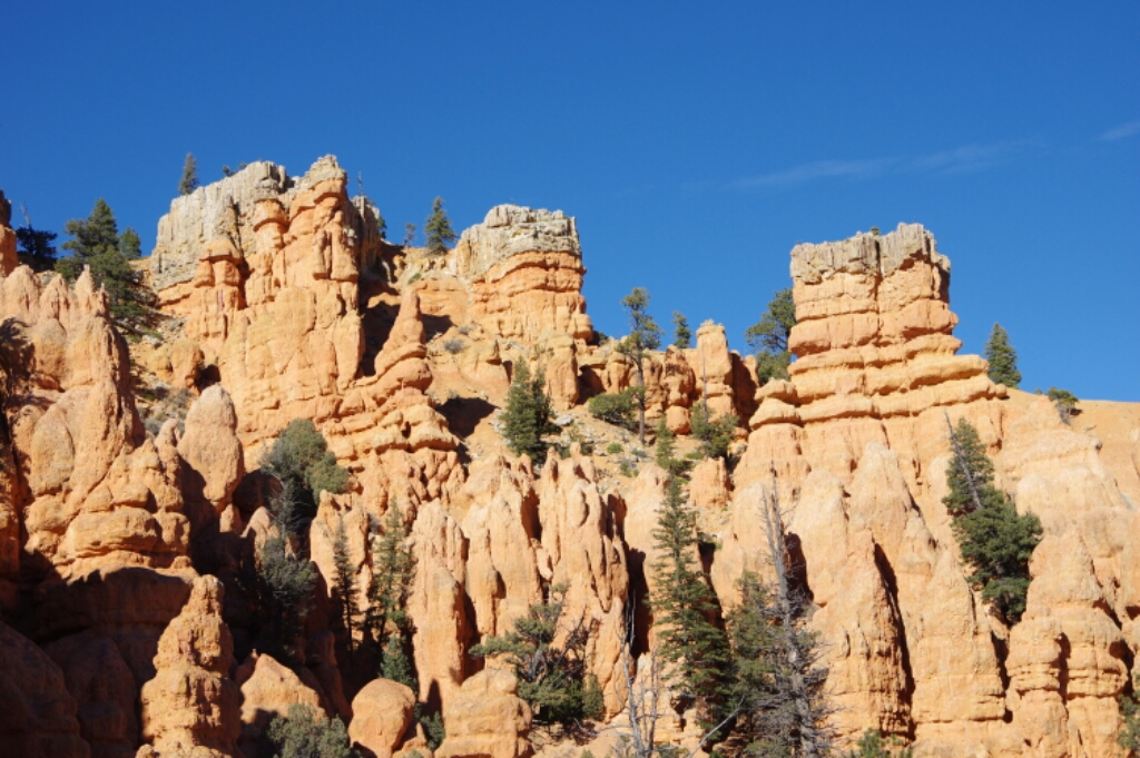
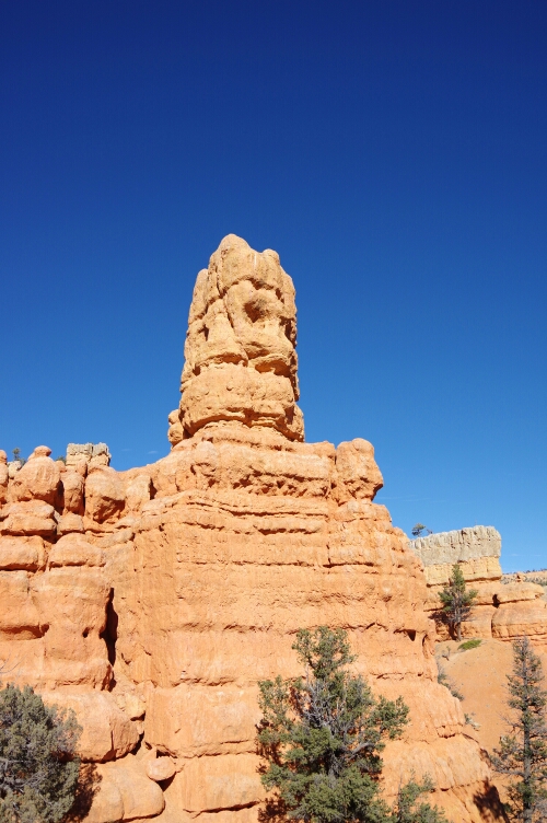
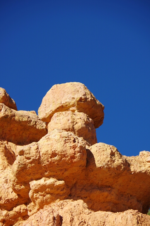
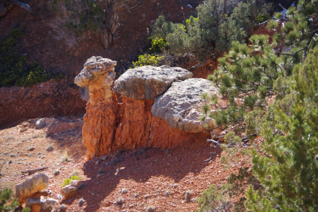
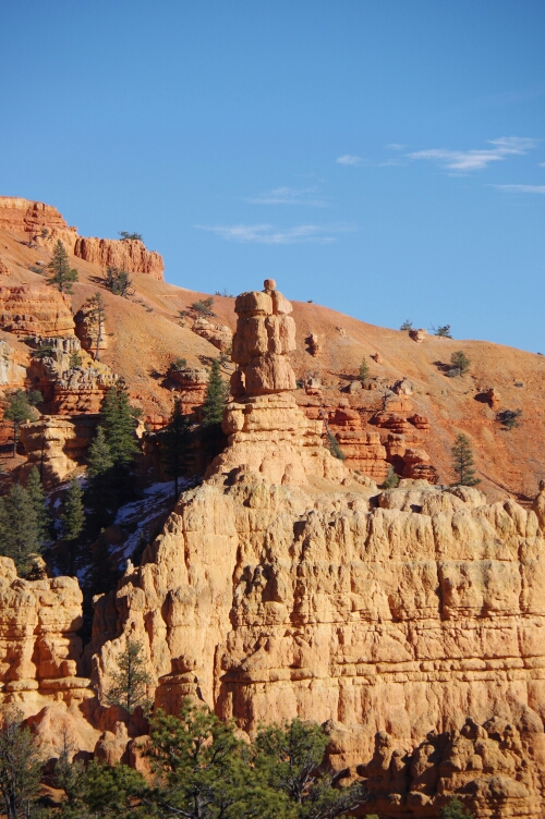
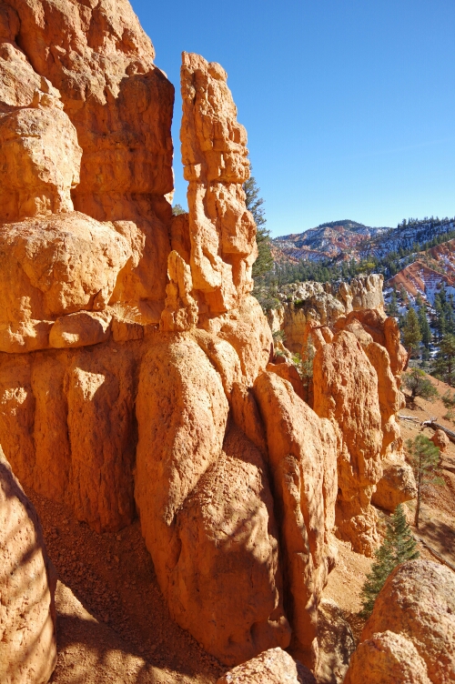
NOV 21, 2015 –  On the way to Bryce Canyon, I passed Red Canyon, which was too amazing to skip. I walked through some of the rock pillars, or hoodoos as they are called. Many of them reminded me of something, so the photos are captioned with how I would name them. By sunset I was at Bryce Canyon and got a first glimpse of the breathtaking rock formations there.

image
The King
image
The hat guy
image
Porcino
image
The Camel (official name)
image
The Pharaoh

Rocky views at Zion

image
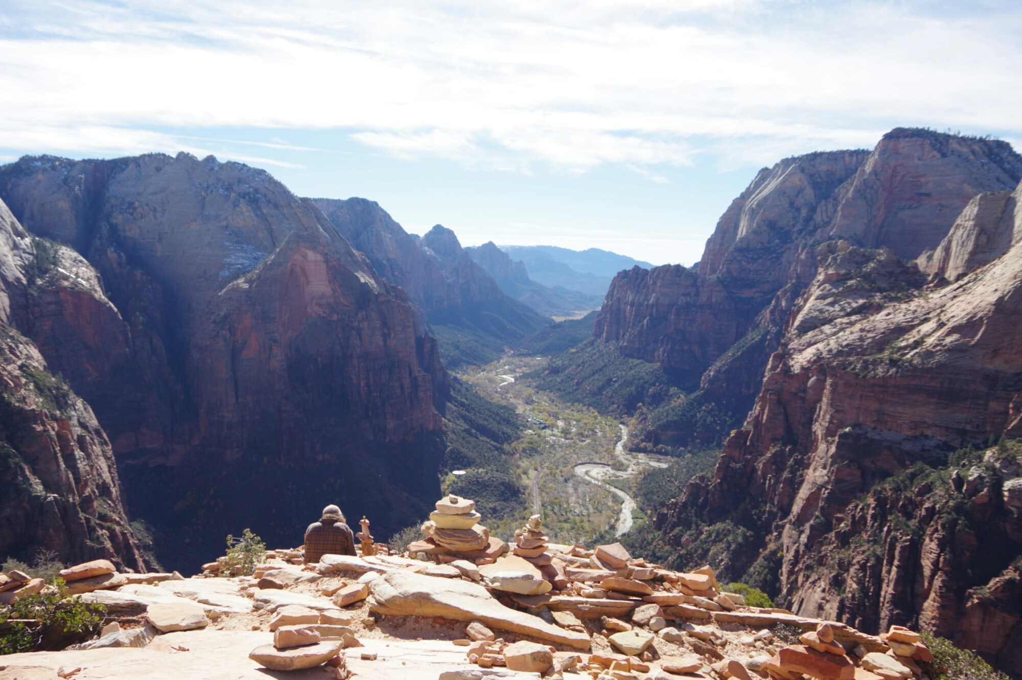
View from Angels Landing

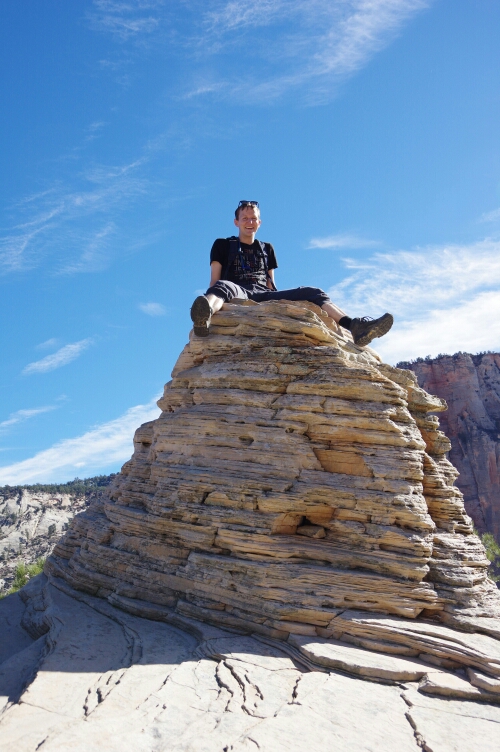
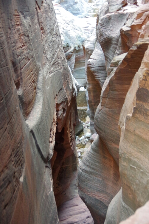
NOV 20, 2015 – I left Las Vegas with lots of groceries and set up camp in Zion National Park. It turned out my Ford Focus had enough space in the back for my camping mattress, so I didn’t bother setting up my tent as long as I was with the car. In one day, I hiked the somewhat challenging trail to Angels Landing, then ran to the Emerald Pools, and went up to Observation Point for sunset, hiking back down in the moonlight. The next morning I drove towards Bryce Canyon and took some more pictures along the way.

image
At Angels Landing
image
Along the trail to Observation Point
image
View from Observation Point after sunset
image
Along Zion - Mount Carmel Highway