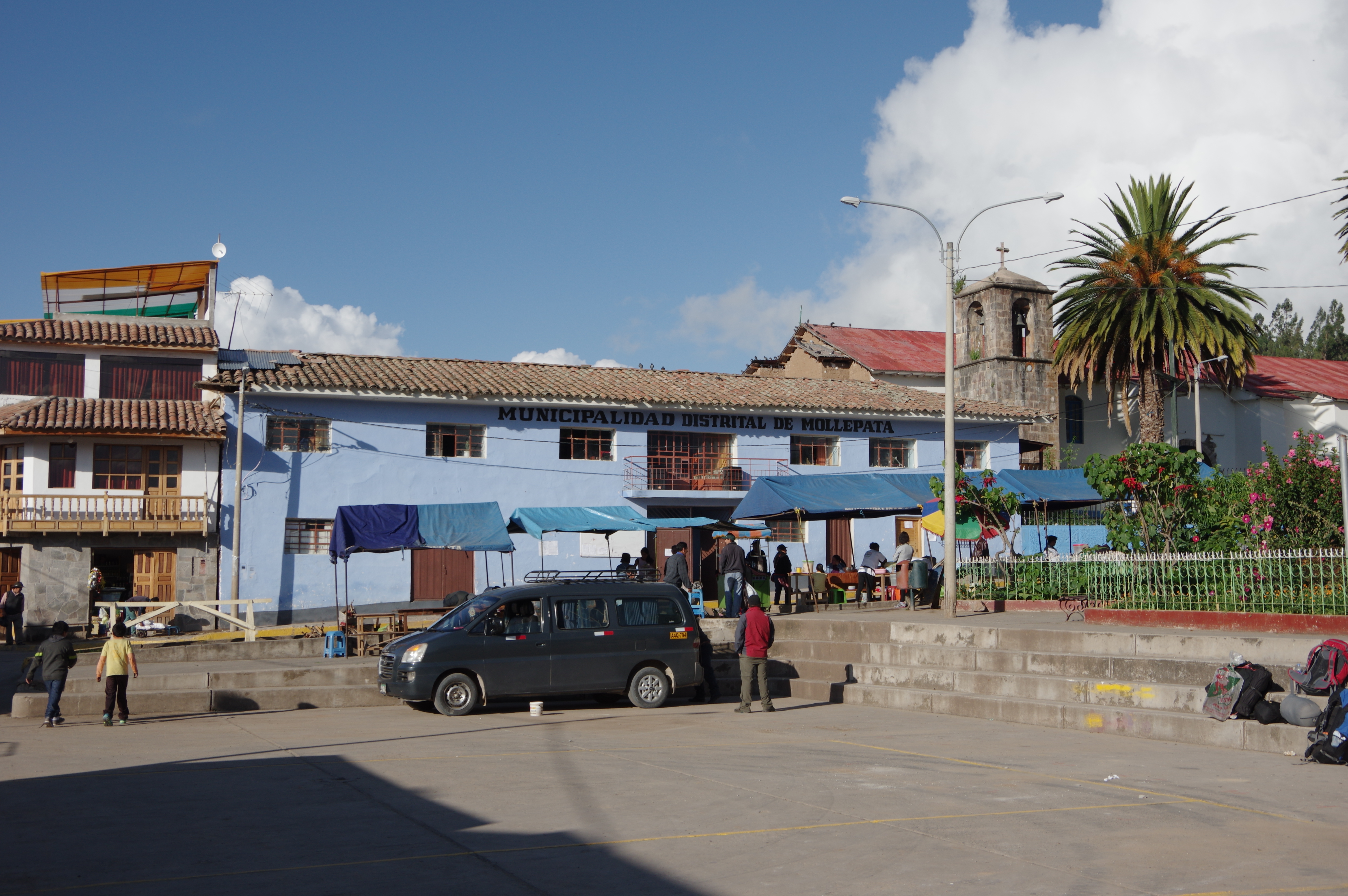
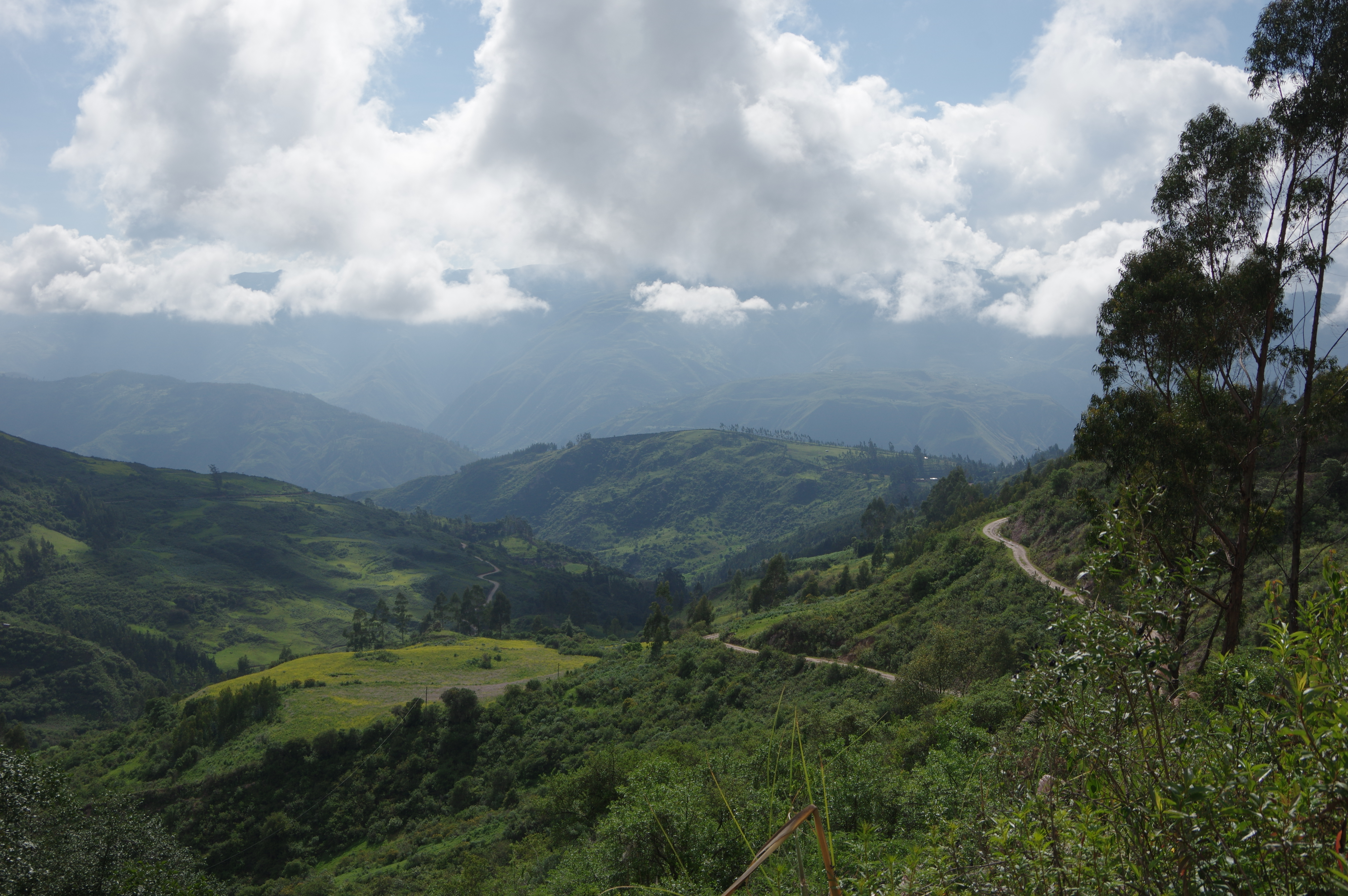
JAN 24, 2016 – I set out on what is called the Salkantay Trek, a common way of getting to Machu Picchu on foot without using the inca trail, on which a guide is mandatory. This trek starts in the village of Mollepata, two hours and a half from Cusco. Most group tours do it in four days (plus one day to visit Machu Picchu), so I planned on using “up to four days” for it while choosing a slightly longer variant (via Llactapata).
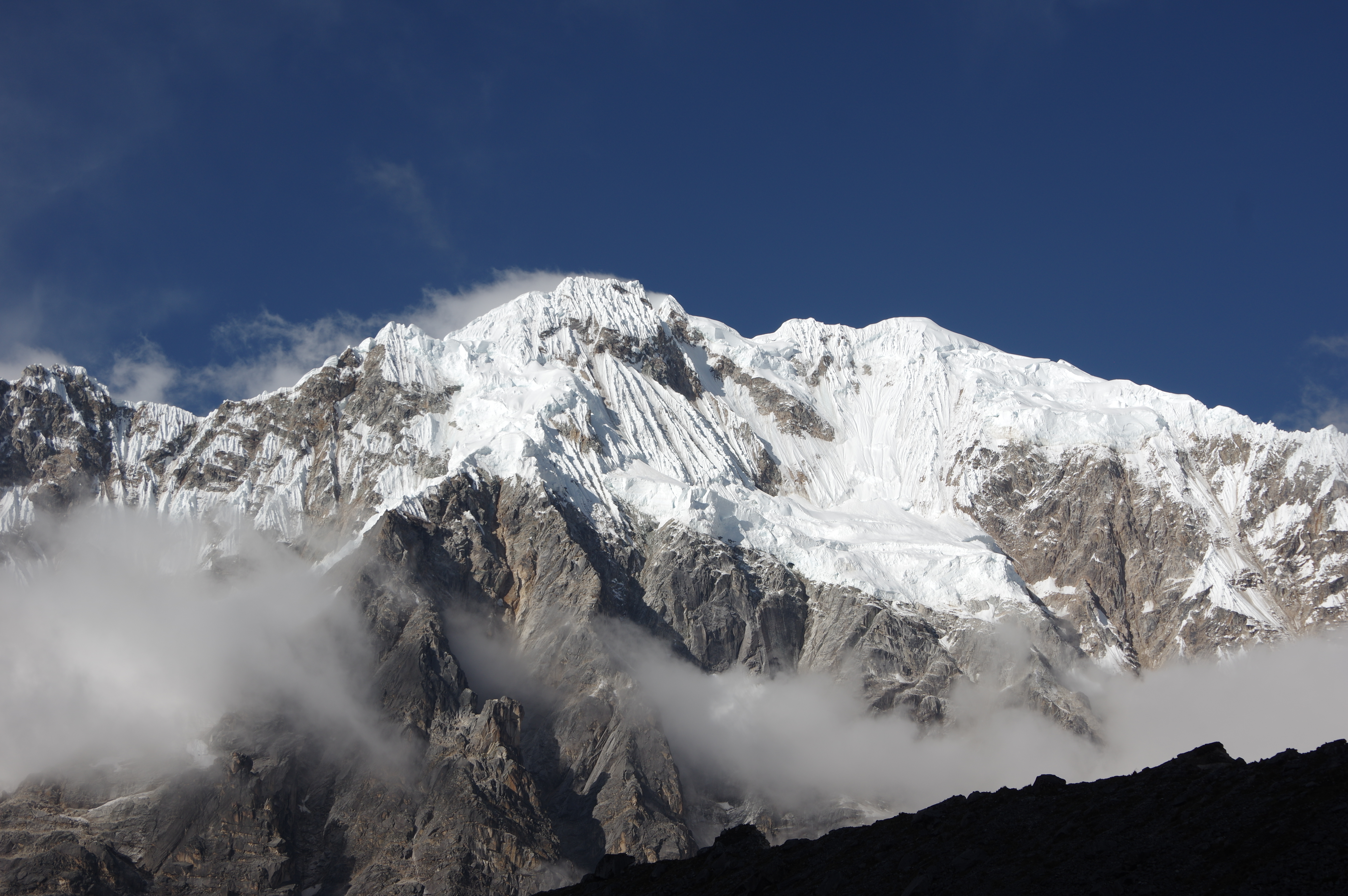
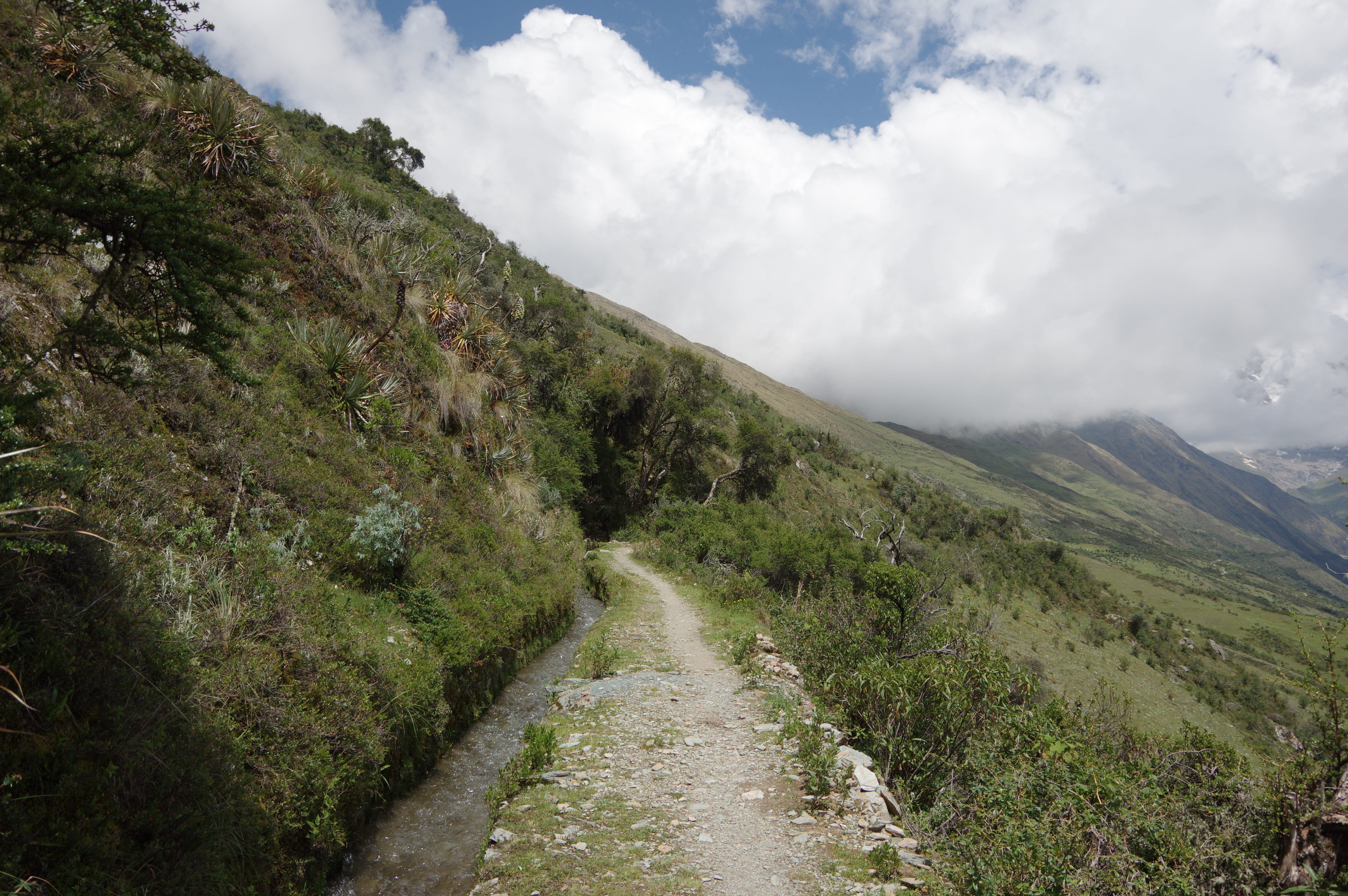
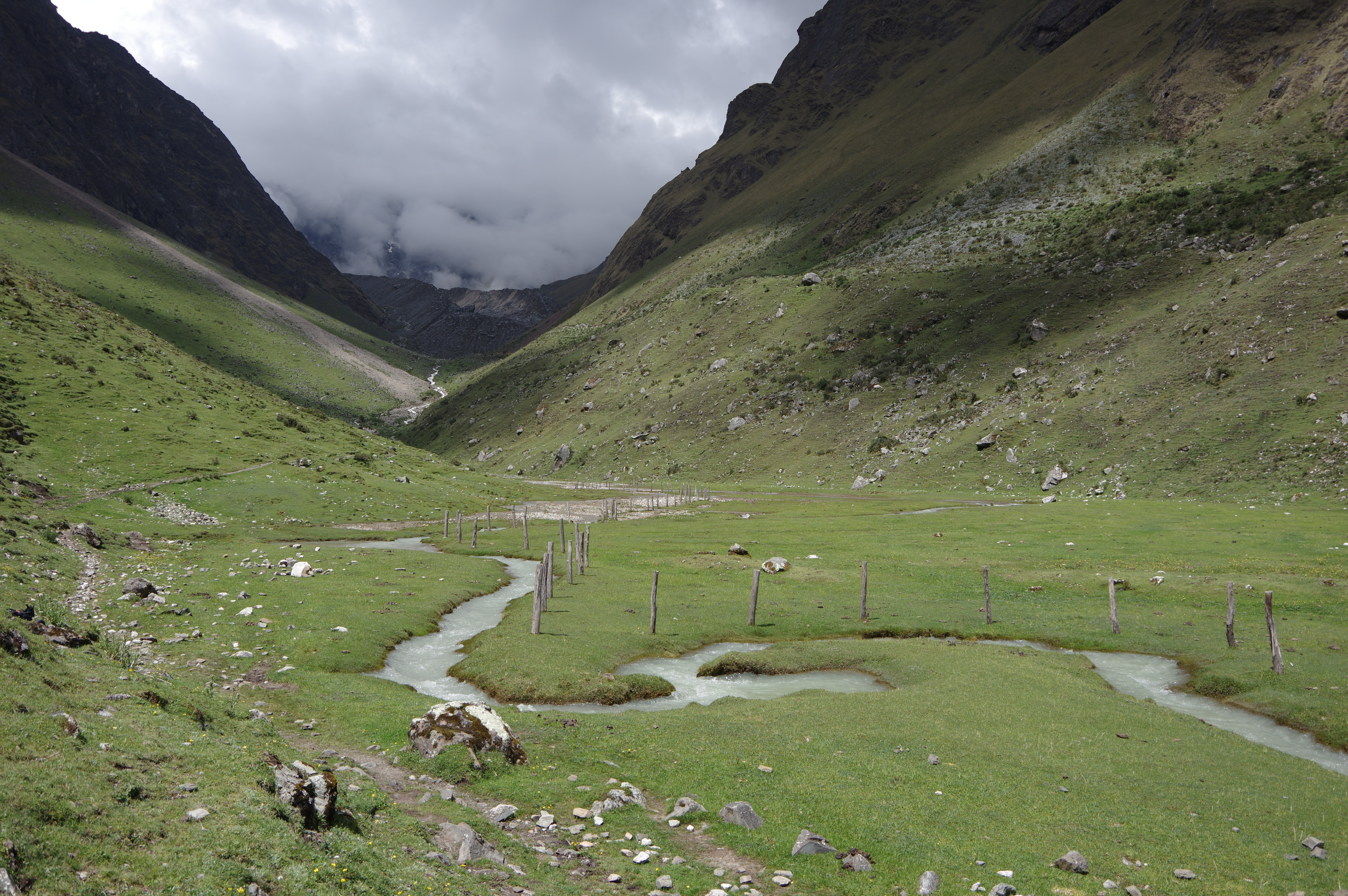
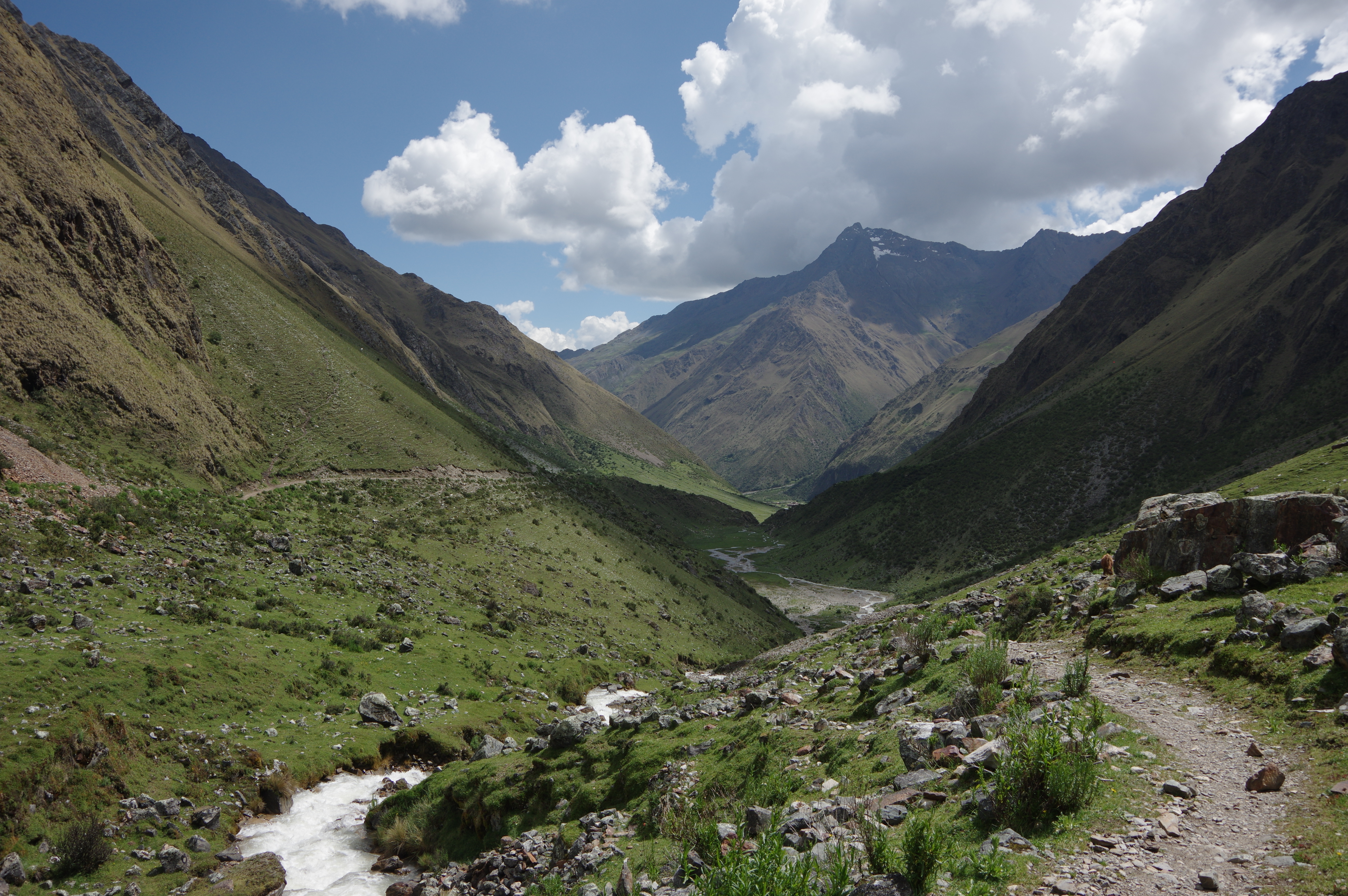
My van picked me up in the city center at 4:30am. I had booked the bus ride to Mollepata with a tour agency for 35 soles. By 7am I was on Mollepata’s main square, and half an hour later I was walking towards Soraypampa. The tour group I had travelled with took longer to prepare because they had to organize their baggage and load the horses first. The trail was easy to find thanks to blue signposts, installed just a few years ago. After a steep first part, I arrived at a creek which I followed to Soraypampa with almost no further climb. I had my lunch break and continued up to Salkantaypampa, about an hour further. The campsite there was so beautiful that I hesitated before going on, but then I decided to at least go have a look at the next one. By 3:30pm, I was in Suyroqocha, where I spent the night. The campsite at 4480m was nice too, with the exception of the toilets, which were out of order. Once the fog lifted, I could see the nearby glacier, whose noises of crashing ice blocks I had heard through the fog, and the majestic Nevado Salkantay.
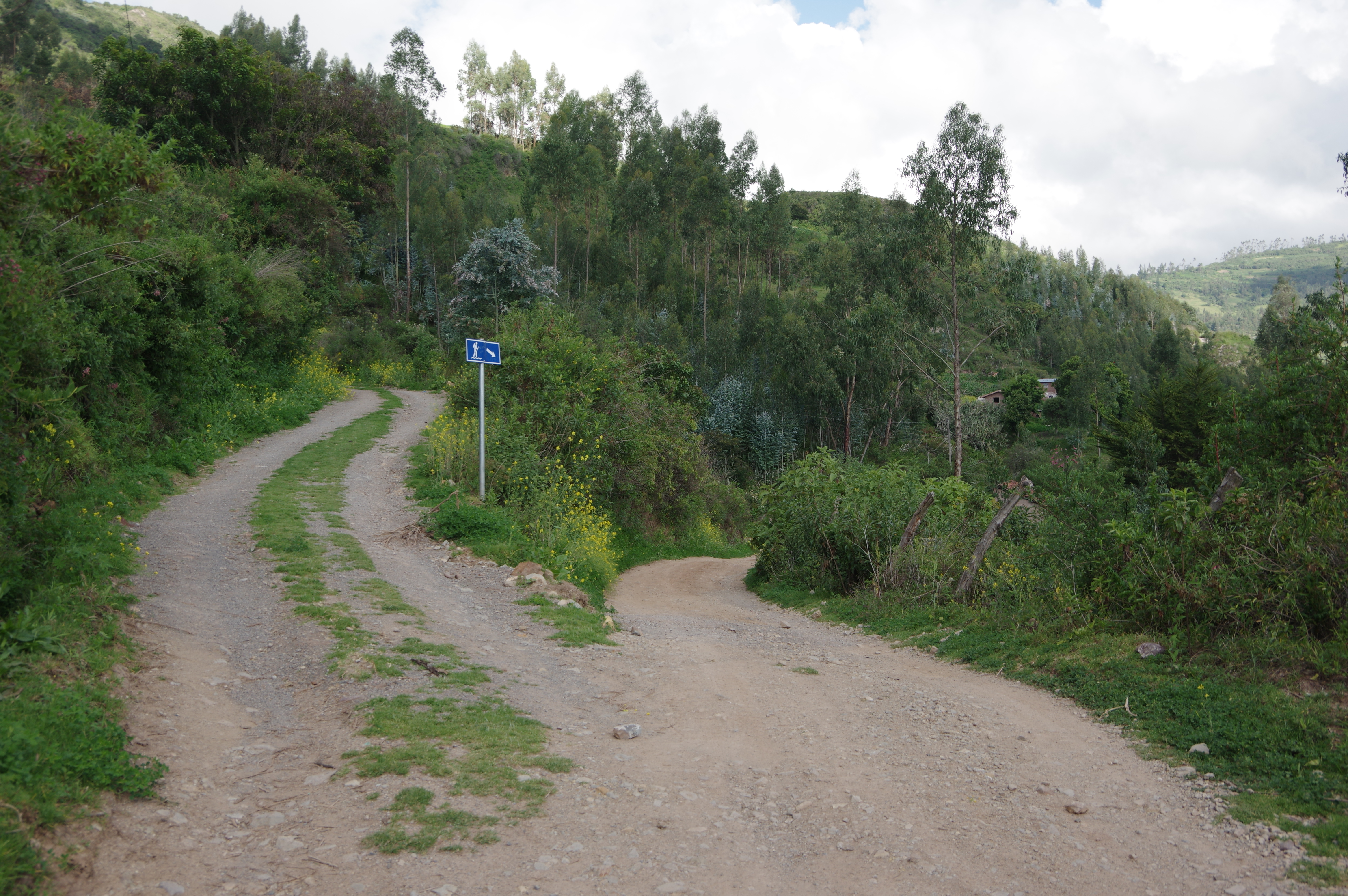
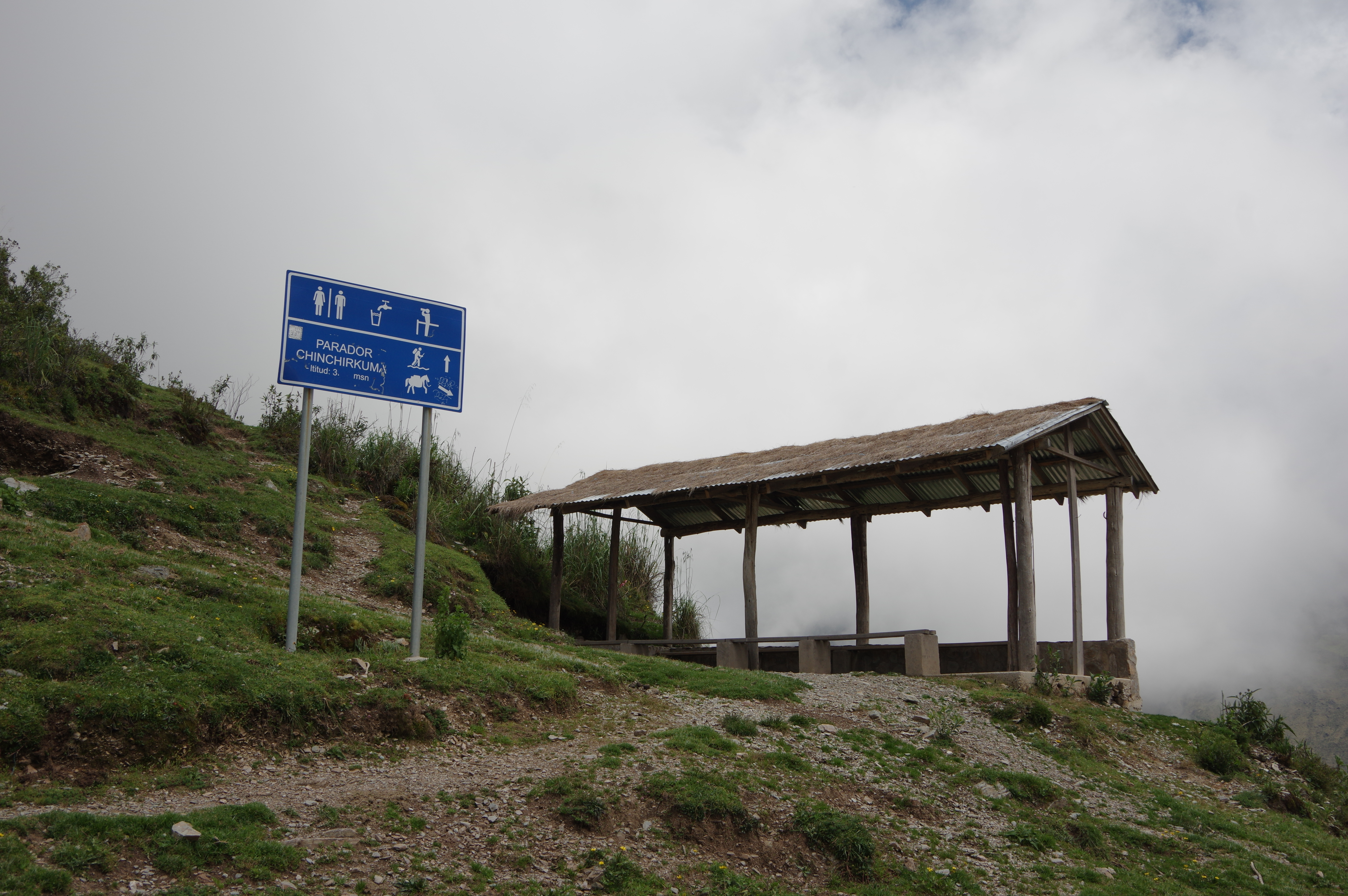
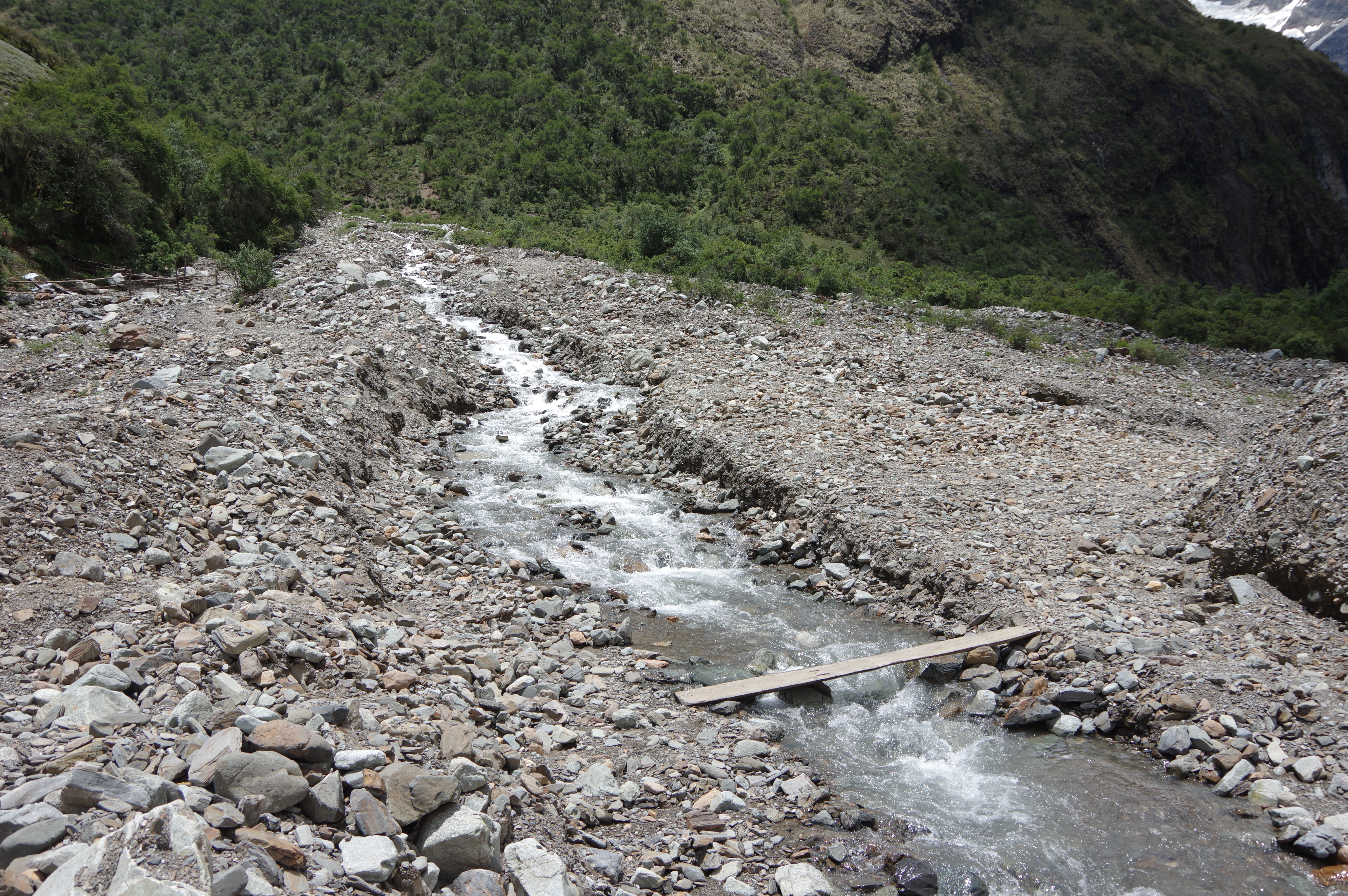
Route: Easy to find using the signposts, which start about 200m from the main square of Mollepata. There is a long stretch without signposts after the first “parador”, but the trail is clearly visible. Then an “alternative route” is indicated to the right, which I didn’t follow. At the second “parador”, go uphill towards the creek, then follow it for the rest of the way to Soraypampa. I had a hard time finding a river crossing, but there was one about 200 meters upstream from the village. From there on, signposts are sparse, but the trail is still well maintained and very well documented on OpenStreetMap: From the campground, continue on the trail up the valley on the right, following a creek. At Salkantaypampa, climb steeper uphill towards the left side of the valley to arrive at Suyroqocha. Water nearby for most of the way and at all campgrounds; do not carry more than 2 liters. I did not notice any grocery stores after Mollepata, there may be a kiosk or two but they were closed. Guesthouses are available in Soraypampa though.


Jeff Perry ヅ
March 19, 2016 at 03:57Cool man, just reading through this now after having done a 3 day trek near Bariloche.